Arlington

Settlement in Devon North Devon

England

Arlington

Arlington: lane to Coombeshead Farm access road. Looking west-south-west
Arlington: lane to Coombeshead Credit: Martin Bodman

Arlington is a small village located in the county of Devon, England. Situated in the northern part of the county, it is nestled amidst the picturesque landscapes of the North Devon Area of Outstanding Natural Beauty. The village is part of the district of North Devon and falls within the administrative jurisdiction of the Barnstaple civil parish.

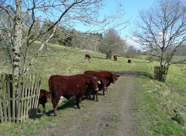
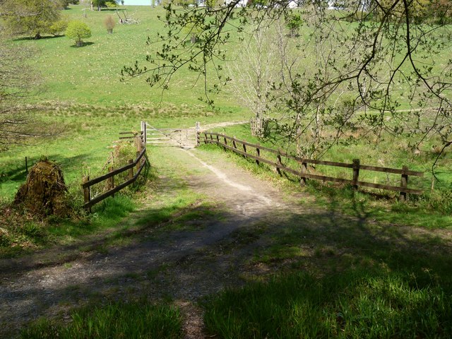
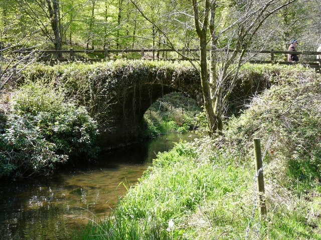
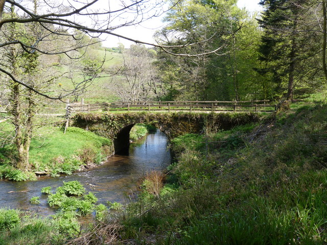
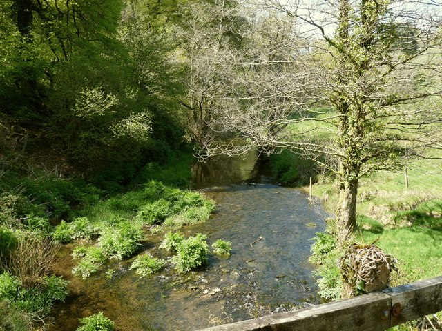
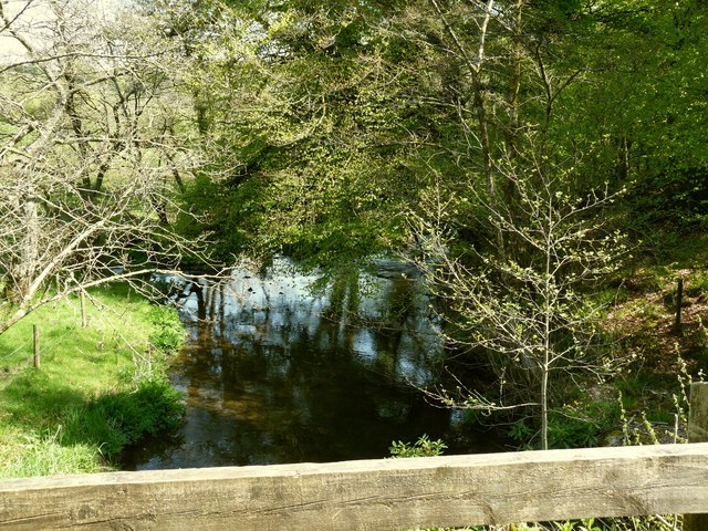
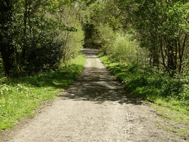
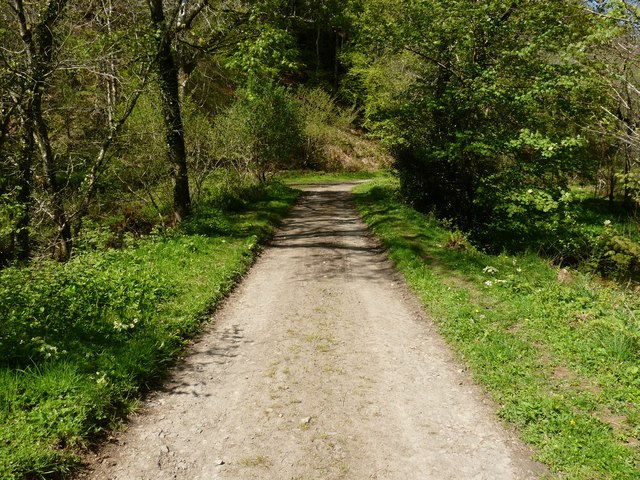
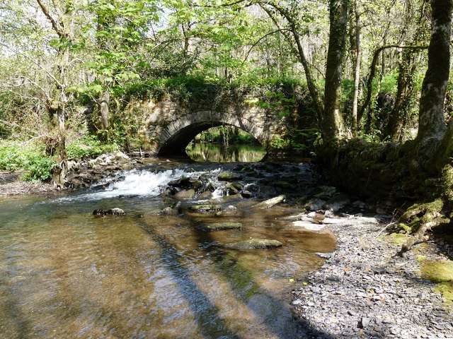
With a population of around 500 residents, Arlington boasts a close-knit community that takes pride in its rural charm and tranquil atmosphere. The village is surrounded by rolling hills, lush fields, and dense woodlands, making it an ideal destination for nature enthusiasts and those seeking a peaceful retreat. The nearby Arlington Court, a National Trust property, offers visitors the opportunity to explore stunning gardens, a Victorian mansion, and a carriage museum.

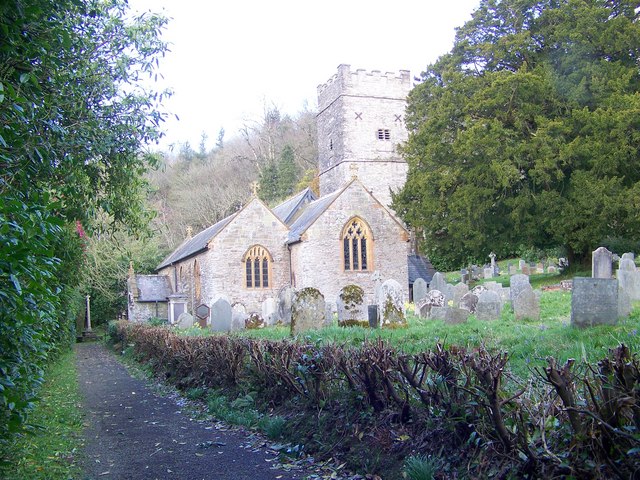
The village itself is characterized by its traditional stone cottages, many of which date back several centuries, giving Arlington a sense of historical significance. A small church, St. James the Less, is a prominent feature of the village, providing a place of worship for the local community.

Despite its small size, Arlington is well-connected to neighboring towns and villages. The A39 road passes close by, providing convenient access to Barnstaple, which is approximately 8 miles away. The village also benefits from a regular bus service, ensuring that residents can easily travel to nearby amenities and services.

Arlington offers a peaceful and idyllic lifestyle for its residents, with its natural beauty and strong sense of community making it a desirable place to call home.

If you have any feedback on the listing, please let us know in the comments section below.
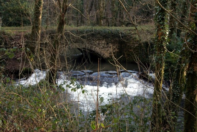
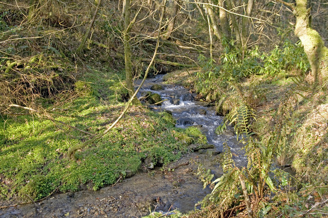
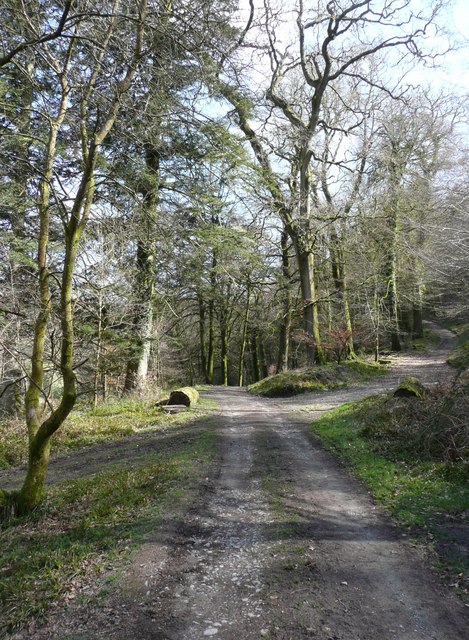
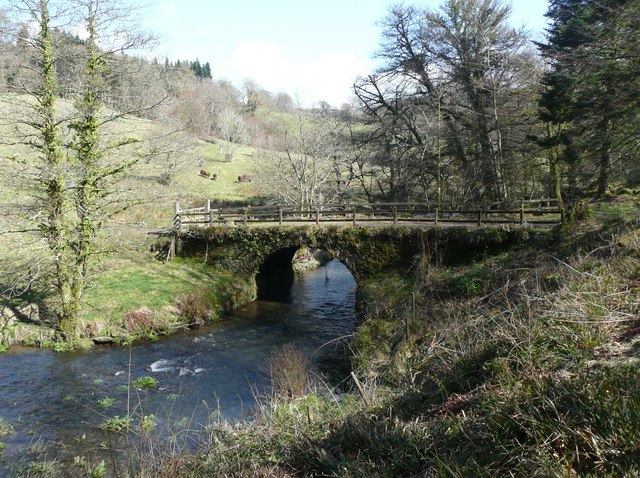
Arlington Images

Images are sourced within 2km of 51.149121/-3.9838506 or Grid Reference SS6140. Thanks to Geograph Open Source API. All images are credited.

Arlington: lane to Coombeshead Farm access road. Looking west-south-west
Arlington: lane to Coombeshead
Farm access road. Looking west-south-west
Tucker's Bridge in the Arlington Court Estate
Bridleway, Arlington The National Trust has widened and planted this bridleway to create a future wooded walk on their Arlington Court Estate.
Bridleway, Arlington
The National Trust has widened and planted this bridleway to create a future wooded walk on their Arlington Court Estate.
Deerpark Wood, Arlington This stream eventually joins the river which issues from Arlington Lake.  The National Trust has created several bridleways on their estate and have opened up new areas to visitors.
Deerpark Wood, Arlington
This stream eventually joins the river which issues from Arlington Lake. The National Trust has created several bridleways on their estate and have opened up new areas to visitors.
Smallacombe Meadow Part of the estate at Arlington Court, seen from Arlington Footpath 1 just east of the bridge across River Yeo. Much of the view, including the trees left of centre, is in <a href="https://www.geograph.org.uk/gridref/SS6040">SS6040</a>.
Smallacombe Meadow
Part of the estate at Arlington Court, seen from Arlington Footpath 1 just east of the bridge across River Yeo. Much of the view, including the trees left of centre, is in SS6040.
Track junction, Arlington Estate These are access tracks in the Arlington estate. The one straight on is also a public footpath that goes eventually to Chirwell, whilst the one to the right zig-zags up the hillside to emerge onto the main road at a lodge.
Track junction, Arlington Estate
These are access tracks in the Arlington estate. The one straight on is also a public footpath that goes eventually to Chirwell, whilst the one to the right zig-zags up the hillside to emerge onto the main road at a lodge.
Bridge over the River Yeo, Arlington Part of the Arlington estate.
Bridge over the River Yeo, Arlington
Part of the Arlington estate.
Cattle on the track, Arlington Wary but well-behaved.
Cattle on the track, Arlington
Wary but well-behaved.
Smallcombe Bridge on the River Yeo This River Yeo is one of four in Devon with the same name (that I am aware of). It starts near Berry Down and feeds into the Taw estuary at Barnstaple.
Smallcombe Bridge on the River Yeo
This River Yeo is one of four in Devon with the same name (that I am aware of). It starts near Berry Down and feeds into the Taw estuary at Barnstaple.
Smallcombe Bridge on the River Yeo as seen from downstream This River Yeo is one of four in Devon with the same name (that I am aware of). It starts near Berry Down and feeds into the Taw estuary at Barnstaple.
Smallcombe Bridge on the River Yeo as seen from downstream
This River Yeo is one of four in Devon with the same name (that I am aware of). It starts near Berry Down and feeds into the Taw estuary at Barnstaple.
Smallcombe Bridge on the River Yeo as seen from upstream This River Yeo is one of four in Devon with the same name (that I am aware of). It starts near Berry Down and feeds into the Taw estuary at Barnstaple.
Smallcombe Bridge on the River Yeo as seen from upstream
This River Yeo is one of four in Devon with the same name (that I am aware of). It starts near Berry Down and feeds into the Taw estuary at Barnstaple.
The view upstream from Smallcombe Bridge on the River Yeo This River Yeo is one of four in Devon with the same name (that I am aware of). It starts near Berry Down and feeds into the Taw estuary at Barnstaple.
The view upstream from Smallcombe Bridge on the River Yeo
This River Yeo is one of four in Devon with the same name (that I am aware of). It starts near Berry Down and feeds into the Taw estuary at Barnstaple.
The view downstream from Smallcombe Bridge on the River Yeo This River Yeo is one of four in Devon with the same name (that I am aware of). It starts near Berry Down and feeds into the Taw estuary at Barnstaple.
The view downstream from Smallcombe Bridge on the River Yeo
This River Yeo is one of four in Devon with the same name (that I am aware of). It starts near Berry Down and feeds into the Taw estuary at Barnstaple.
Tuckers Bridge on the River Yeo concealed beneath this track This River Yeo is one of four in Devon with the same name (that I am aware of). It starts near Berry Down and feeds into the Taw estuary at Barnstaple.
Tuckers Bridge on the River Yeo concealed beneath this track
This River Yeo is one of four in Devon with the same name (that I am aware of). It starts near Berry Down and feeds into the Taw estuary at Barnstaple.
Tucker's Bridge on the River Yeo concealed beneath this track This River Yeo is one of four in Devon with the same name (that I am aware of). It starts near Berry Down and feeds into the Taw estuary at Barnstaple.
Tucker's Bridge on the River Yeo concealed beneath this track
This River Yeo is one of four in Devon with the same name (that I am aware of). It starts near Berry Down and feeds into the Taw estuary at Barnstaple.
Tucker's Bridge on the River Yeo as seen from downstream This River Yeo is one of four in Devon with the same name (that I am aware of). It starts near Berry Down and feeds into the Taw estuary at Barnstaple.
Tucker's Bridge on the River Yeo as seen from downstream
This River Yeo is one of four in Devon with the same name (that I am aware of). It starts near Berry Down and feeds into the Taw estuary at Barnstaple.
Tucker's Bridge on the River Yeo as seen from upstream This River Yeo is one of four in Devon with the same name (that I am aware of). It starts near Berry Down and feeds into the Taw estuary at Barnstaple.
Tucker's Bridge on the River Yeo as seen from upstream
This River Yeo is one of four in Devon with the same name (that I am aware of). It starts near Berry Down and feeds into the Taw estuary at Barnstaple.
Show me another place!

Arlington is located at Grid Ref: SS6140 (Lat: 51.149121, Lng: -3.9838506)

Administrative County: Devon

District: North Devon

Police Authority: Devon and Cornwall

What 3 Words

///yummy.wove.simmer. Near Combe Martin, Devon

Related Wikis

Arlington, Devon

Arlington was a manor, and is a village and civil parish in the North Devon district of Devon in England. The parish includes the villages of Arlington...
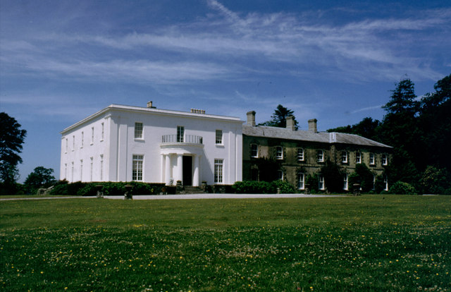
Arlington Court

Arlington Court is a neoclassical style country house built 1820–23, situated in the parish of Arlington, next to the parish church of St James, 5+1⁄4...

East Down, Devon

East Down is a village and civil parish in the Barnstaple district of Devon, England. It includes the hamlets of Churchill, Shortacombe, Brockham and Clifton...

Manor of Loxhore

The Manor of Loxhore was a manor in the parish of Loxhore, North Devon, England. == Descent of the manor == === de Meulles === In the Domesday Book of 1086...

Nearby Amenities

Located within 500m of 51.149121,-3.9838506
Post Box
Collection Times: Mo-Fr 17:30; Sa 13:15
Operator: Royal Mail
Operator Wikidata: Q638098
Post Box Type: lamp
Postal Code: EX31 4LW
Ref: EX31 196
Royal Cypher: EIIR
Royal Cypher Wikidata: Q33102113
Lat/Long: 51.149365/-3.9866835
Rescue Equipment
Emergency: rescue_equipment
Rescue Equipment: throwline
Lat/Long: 51.1456323/-3.9858584
Entrance: yes
Lat/Long: 51.1482538/-3.986936
Cafe
Operator: National Trust
Source: local_knowledge
Lat/Long: 51.147375/-3.9872319
Bench
Backrest: yes
Colour: brown
Material: wood
Seats: 3
Lat/Long: 51.1476896/-3.9869315
Arlington
Place: hamlet
Lat/Long: 51.1468971/-3.9840469
Entrance: main
Lat/Long: 51.1467199/-3.9846029
Obelisk
Man Made: cairn
Lat/Long: 51.1450039/-3.9834437
Entrance: yes
Lat/Long: 51.1474071/-3.9872165
Leisure: picnic_table
Lat/Long: 51.1474847/-3.9872814
Leisure: picnic_table
Lat/Long: 51.1474944/-3.9873706
Bench
Source: survey;gps
Lat/Long: 51.148098/-3.9868824
Bench
Source: survey;gps
Lat/Long: 51.1481275/-3.9868797
Mobility Scooter Rental
Capacity All Terrain: 2
Rental: all_terrain
Lat/Long: 51.148162/-3.9869508
Bench
Source: survey;gps
Lat/Long: 51.1469665/-3.9854005
Bicycle Parking
Bicycle Parking: log_slots
Capacity: 4
Lat/Long: 51.1474435/-3.9876482
Access: customers
Door: yes
Entrance: yes
Lat/Long: 51.1503812/-3.9898941
Cafe
Opening Hours: Mo-Su 10:00-16:00
Operator: National Trust
Outdoor Seating: yes
Lat/Long: 51.1504037/-3.9898942
Operator: National Trust
Shop: books
Lat/Long: 51.1481189/-3.9870031
Turning Circle
Lat/Long: 51.1466769/-3.9832313
The data included in this document is from www.openstreetmap.org. The data is made available under ODbL.

Have you been to Arlington?

Leave your review of Arlington below (or comments, questions and feedback).