Carr Plantation
Wood, Forest in Yorkshire Richmondshire
England
Carr Plantation
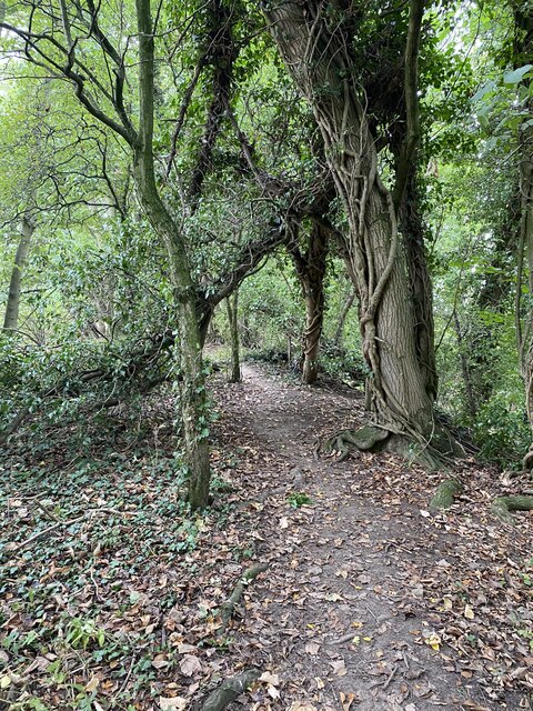
Carr Plantation, located in Yorkshire, England, is a vast woodland area renowned for its natural beauty and ecological significance. Spanning over several thousand acres, the plantation is an integral part of the Forest of Yorkshire, a protected area known for its diverse flora and fauna.
The plantation primarily consists of dense forests dominated by various species of trees, including oak, beech, and birch. These towering trees create a lush canopy that provides shelter and sustenance for a wide array of wildlife. The forest floor is adorned with a rich understory of ferns, wildflowers, and mosses, creating a vibrant and biodiverse ecosystem.
Carr Plantation is particularly famous for its birdlife, attracting birdwatchers from all over the world. The woodland is home to numerous species, including the Great Spotted Woodpecker, Tawny Owl, and various warblers. During the breeding season, the air is filled with melodic birdsong, creating a serene and enchanting atmosphere.
The plantation also offers numerous recreational opportunities for visitors. Well-maintained trails wind through the woodland, allowing hikers to explore the area and discover its hidden gems. Additionally, the plantation has designated picnic areas, providing a perfect spot for families and friends to enjoy a peaceful outdoor meal surrounded by nature.
Carr Plantation is a true haven for nature enthusiasts, offering a glimpse into the untouched beauty of Yorkshire's woodlands. Its pristine landscapes and abundant wildlife make it a must-visit destination for anyone seeking to reconnect with nature and experience the tranquility of the forest.
If you have any feedback on the listing, please let us know in the comments section below.
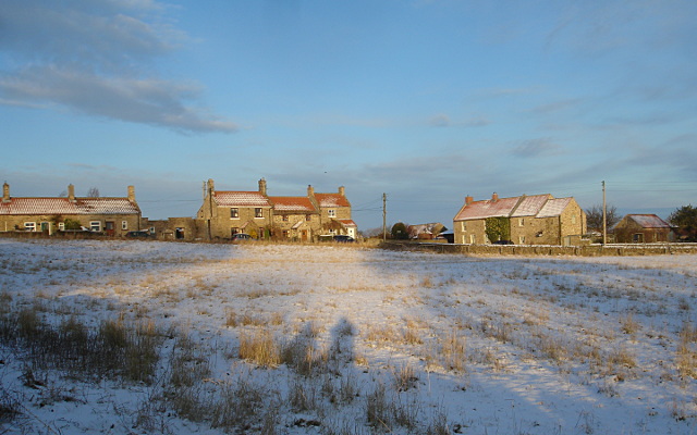
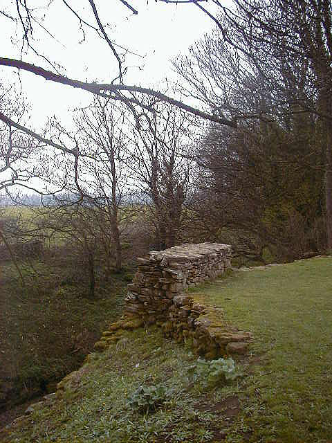
Carr Plantation Images
Images are sourced within 2km of 54.525108/-1.7183235 or Grid Reference NZ1814. Thanks to Geograph Open Source API. All images are credited.


Carr Plantation is located at Grid Ref: NZ1814 (Lat: 54.525108, Lng: -1.7183235)
Division: North Riding
Administrative County: North Yorkshire
District: Richmondshire
Police Authority: North Yorkshire
What 3 Words
///bundles.passage.ironclad. Near Gainford, Co. Durham
Nearby Locations
Related Wikis

Eppleby
Eppleby is a village and civil parish in the Richmondshire district of North Yorkshire, England. It is located about 7 miles (11 km) north of Richmond...

Forcett
Forcett is a village in the Richmondshire district of North Yorkshire, England. It lies near the border with County Durham, on the B6274 road about 8 miles...

Stanwick St John
Stanwick St John is a village, civil parish, former manor and ecclesiastical parish in the Richmondshire district of North Yorkshire, (formerly "North...

Forcett Hall
Forcett Hall is an English country house in the village of Forcett, North Yorkshire, England, some 6.5 miles (10 km) west of Darlington. It is a Grade...

Barforth
Barforth is a civil parish in the Teesdale district of County Durham, England, near Gainford. According to the 2001 census the parish had a population...
Caldwell, North Yorkshire
Caldwell is a village and civil parish in the Richmondshire district of North Yorkshire, England, close to the border with County Durham and approximately...
Stanwick Iron Age Fortifications
Stanwick Iron Age Fortifications (also known as 'Stanwick Camp'), a huge Iron Age hill fort, sometimes but not always considered an oppidum, comprising...
St John the Baptist's Church, Stanwick
St John the Baptist's Church is a redundant Anglican church in the village of Stanwick St John, North Yorkshire, England. It is recorded in the National...
Nearby Amenities
Located within 500m of 54.525108,-1.7183235Have you been to Carr Plantation?
Leave your review of Carr Plantation below (or comments, questions and feedback).