Darfield Plantation
Wood, Forest in Derbyshire Derbyshire Dales
England
Darfield Plantation
Darfield Plantation is a picturesque woodland located in Derbyshire, England. Situated in the heart of the county, it is renowned for its natural beauty and rich history. The plantation covers an extensive area and is home to a diverse array of flora and fauna.
As its name suggests, Darfield Plantation is predominantly composed of woodlands and forests. Towering oak and beech trees dominate the landscape, creating a dense canopy that provides a haven for a variety of wildlife. The forest floor is carpeted with mosses, ferns, and wildflowers, adding a burst of color to the surroundings.
The plantation is intersected by several walking trails, making it a popular destination for outdoor enthusiasts and nature lovers. These trails wind through the woodlands, offering visitors the opportunity to explore the plantation's natural wonders. Along the way, visitors may encounter a variety of wildlife, including deer, foxes, and a plethora of bird species.
Historically, Darfield Plantation has played a significant role in the local community. It was once a vital source of timber for the region, providing wood for construction and fuel. Today, the plantation is managed sustainably, balancing the needs of nature conservation with recreational activities.
Whether you are seeking a peaceful stroll through nature, a chance to spot wildlife, or a glimpse into the area's past, Darfield Plantation is a must-visit destination in Derbyshire. Its idyllic woodlands and rich biodiversity make it a haven for both nature enthusiasts and those looking to escape the hustle and bustle of everyday life.
If you have any feedback on the listing, please let us know in the comments section below.
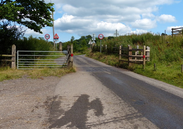
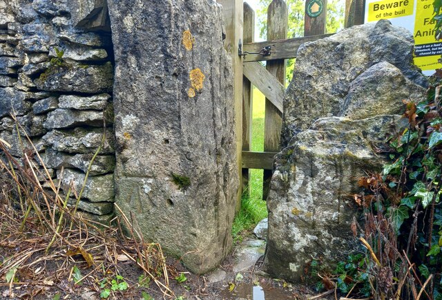
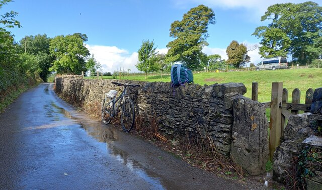
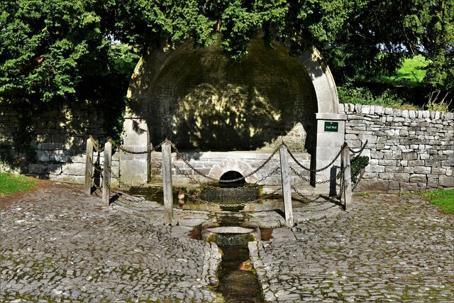
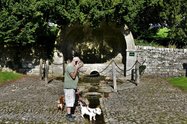
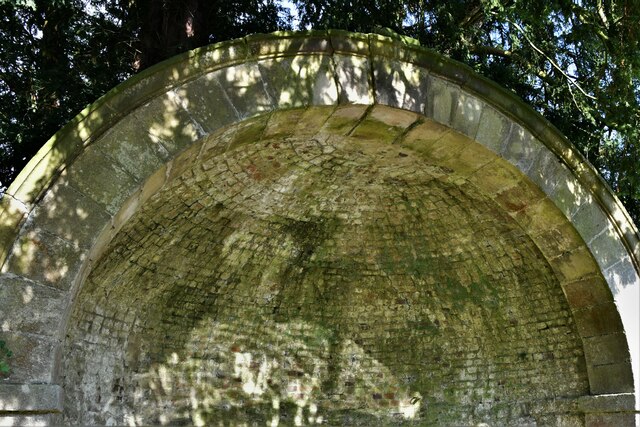
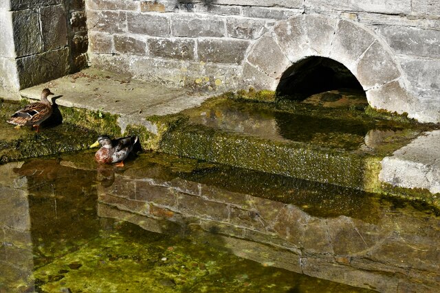
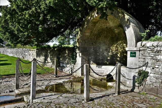
Darfield Plantation Images
Images are sourced within 2km of 53.060827/-1.729166 or Grid Reference SK1851. Thanks to Geograph Open Source API. All images are credited.


Darfield Plantation is located at Grid Ref: SK1851 (Lat: 53.060827, Lng: -1.729166)
Administrative County: Derbyshire
District: Derbyshire Dales
Police Authority: Derbyshire
What 3 Words
///represent.blogs.earlobe. Near Ashbourne, Derbyshire
Nearby Locations
Related Wikis

Tissington railway station
Tissington railway station is a disused British railway station near Tissington (grid reference SK177521), a village in Derbyshire near Ashbourne. It...

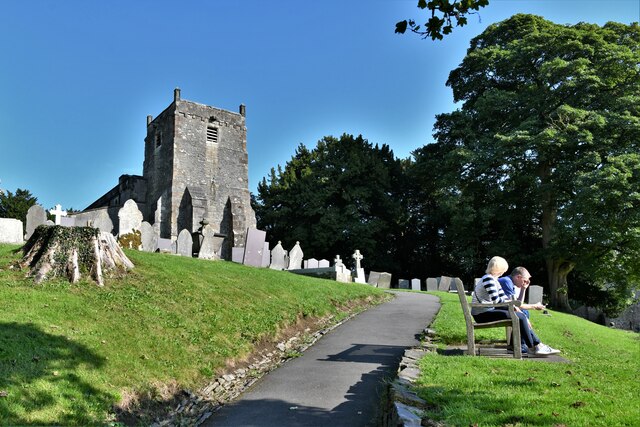
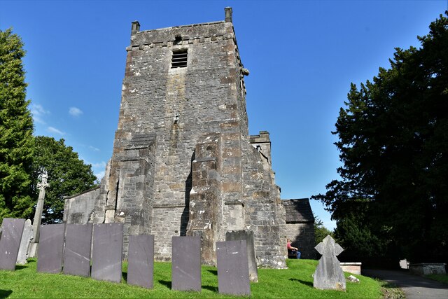
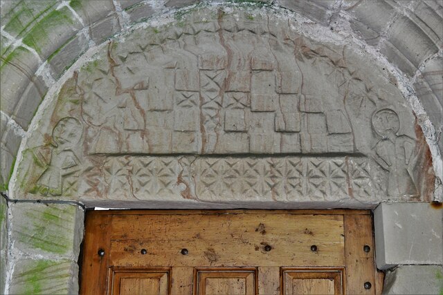
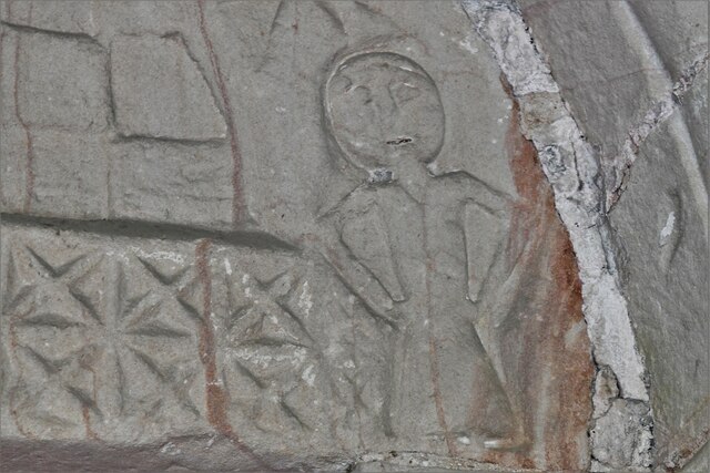
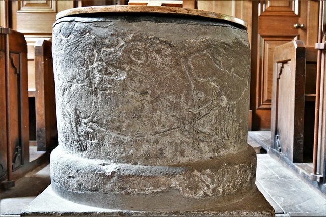
St Mary's Church, Tissington
St Mary’s Church, Tissington is a Grade II* listed parish church in the Church of England in Tissington, Derbyshire. == History == The church dates from...

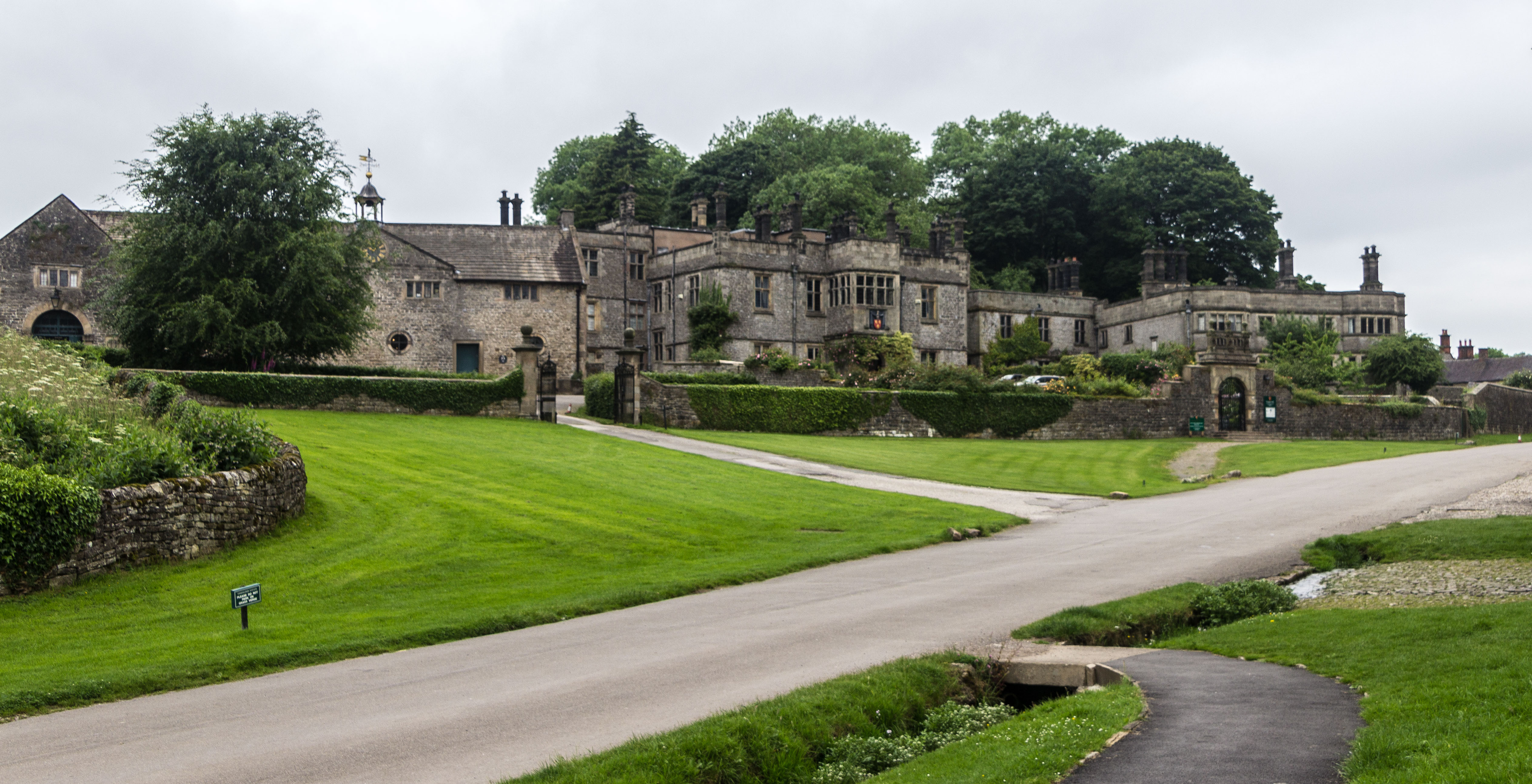
Tissington Hall
Tissington Hall is an early 17th-century Jacobean mansion house in Tissington, near Ashbourne, Derbyshire. It is a Grade II* listed building. The FitzHerberts...

Woodeaves Canal
The Woodeaves Canal (sometimes hyphenated as Wood-Eaves) was a short, privately owned canal near Ashbourne, Derbyshire, England. It was a short waterway...

Tissington
Tissington is a village and former civil parish, now in the parish of Tissington and Lea Hall, in the Derbyshire Dales district of Derbyshire, England...
Tissington and Lea Hall
Tissington and Lea Hall is a civil parish within the Derbyshire Dales district, which is in the county of Derbyshire, England. Named for its settlements...

Fenny Bentley
Fenny Bentley is a small village and civil parish located close to Dovedale in the Derbyshire Dales district of Derbyshire, England. The population in...

St Edmund's Church, Fenny Bentley
St Edmund's Church, Fenny Bentley is a Grade II* listed parish church in the Church of England in Fenny Bentley, Derbyshire. == History == The church dates...
Nearby Amenities
Located within 500m of 53.060827,-1.729166Have you been to Darfield Plantation?
Leave your review of Darfield Plantation below (or comments, questions and feedback).