Elm Wood
Wood, Forest in Yorkshire
England
Elm Wood
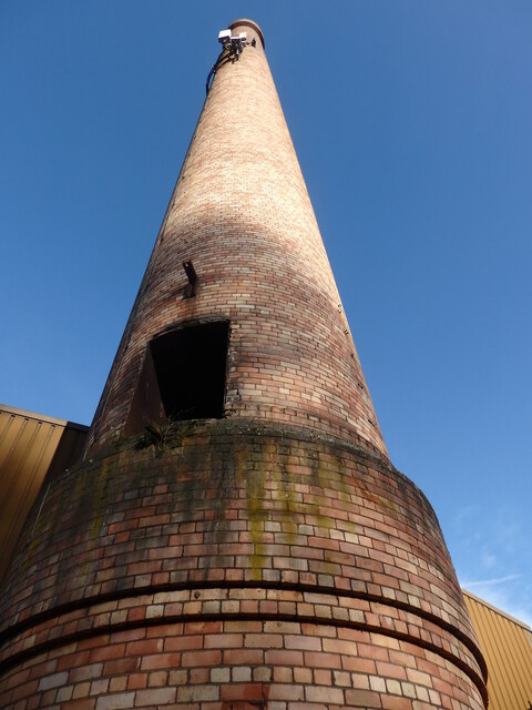
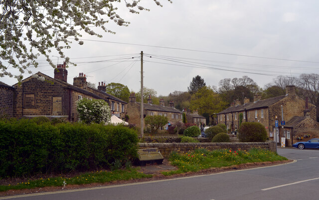
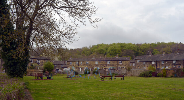
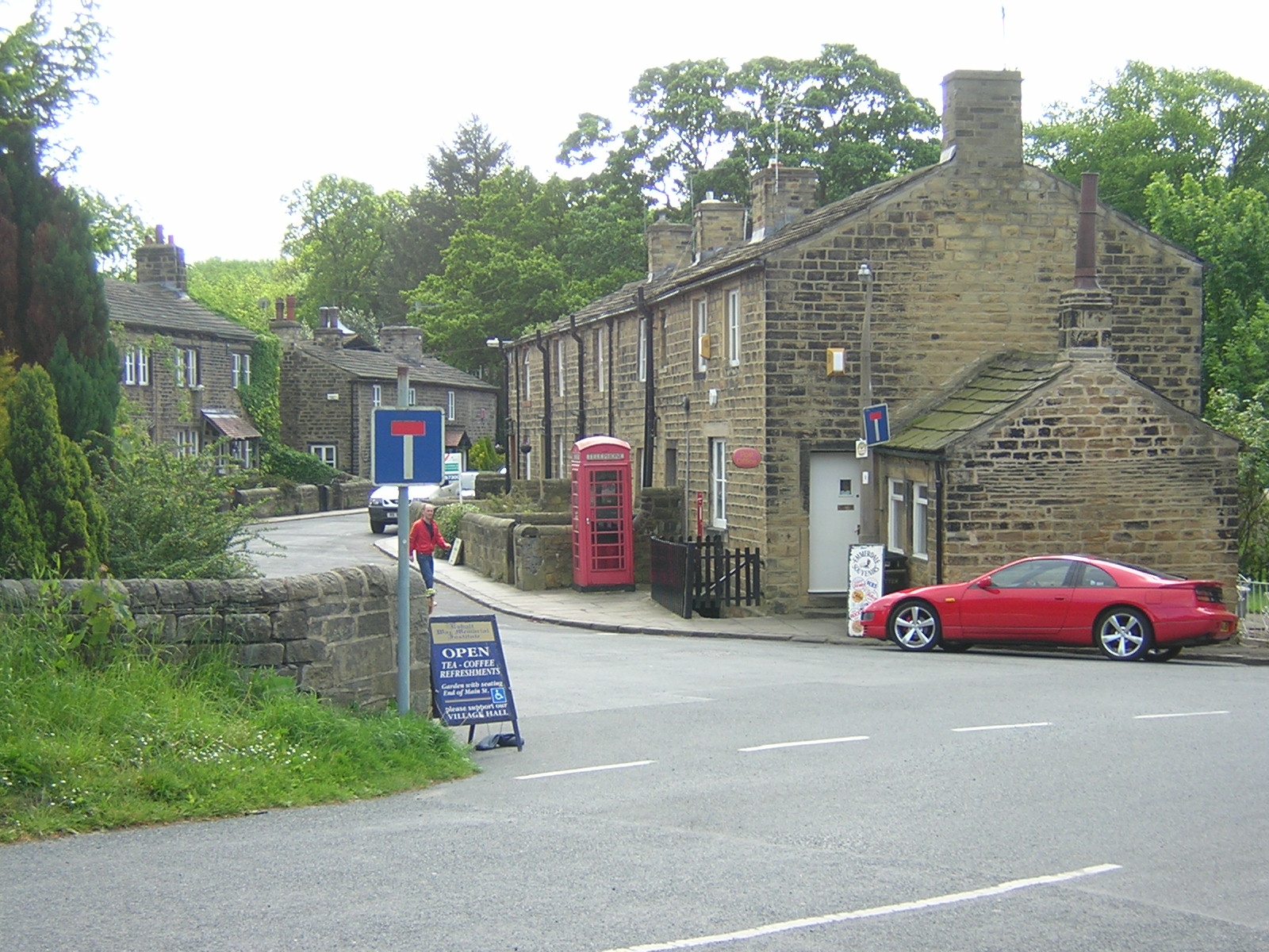
Elm Wood is a picturesque forest located in the county of Yorkshire, England. Spanning over several acres, it is known for its dense population of elm trees, which give the wood its name. The wood is situated in a rural area, surrounded by rolling hills, meadows, and farmland.
The forest is a haven for nature enthusiasts and wildlife lovers alike. Its diverse ecosystem supports a wide range of flora and fauna. The canopy of elm trees provides shelter for numerous bird species, including woodpeckers, owls, and warblers. Small mammals like squirrels and rabbits can also be spotted scurrying through the undergrowth.
Elm Wood offers an array of recreational activities for visitors to enjoy. There are several well-maintained walking trails that wind through the forest, allowing visitors to explore its natural beauty at their own pace. These trails offer breathtaking views of the surrounding countryside and opportunities for birdwatching and photography.
Additionally, Elm Wood is a popular destination for picnickers and families looking for a peaceful spot to relax. There are designated picnic areas with benches and tables where visitors can enjoy a meal amidst the tranquil surroundings.
The forest is easily accessible by road, with ample parking available for visitors. Local authorities have taken measures to preserve and protect Elm Wood, ensuring its continued beauty and sustainability for future generations to enjoy.
If you have any feedback on the listing, please let us know in the comments section below.
Elm Wood Images
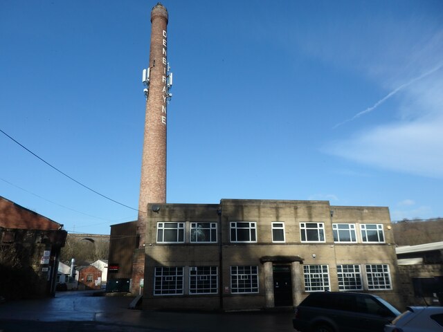
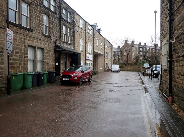
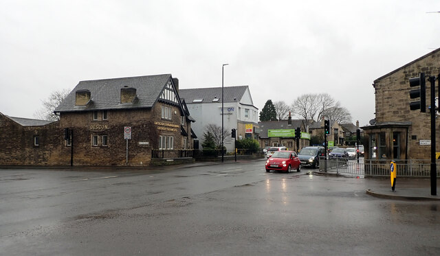
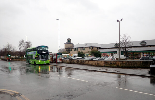
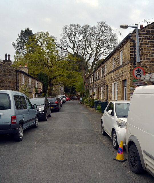
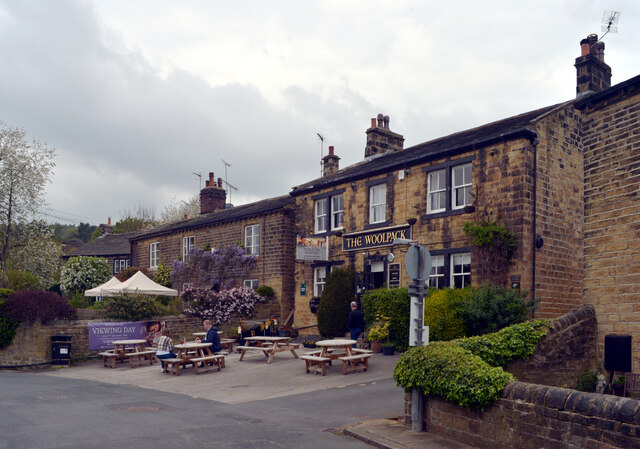
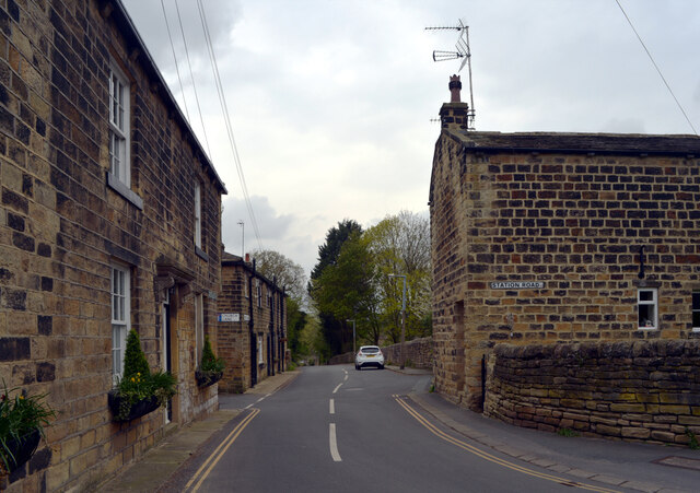
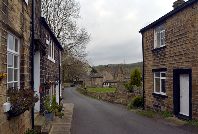
Images are sourced within 2km of 53.863518/-1.7334565 or Grid Reference SE1740. Thanks to Geograph Open Source API. All images are credited.


Elm Wood is located at Grid Ref: SE1740 (Lat: 53.863518, Lng: -1.7334565)
Division: West Riding
Unitary Authority: Bradford
Police Authority: West Yorkshire
What 3 Words
///noting.puff.overnight. Near Guiseley, West Yorkshire
Nearby Locations
Related Wikis
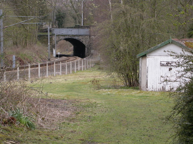
Esholt railway station
Esholt railway station was a railway station on the Shipley to Guiseley line of the Midland Railway. It opened on 4 December 1876 along with Baildon station...
Esholt
Esholt is a village and former civil parish in the metropolitan district of the City of Bradford, West Yorkshire, England. It is situated 3 miles (4.8...

Guiseley School
Guiseley School is a Mixed Secondary School and Sixth Form located in Guiseley in the City of Leeds, West Yorkshire, England.Guiseley School offers GCSEs...

Hawksworth, Guiseley
Hawksworth is a village 1 mile (1.6 km) west of the town of Guiseley in West Yorkshire, England. It is located to the south of Menston and north of Baildon...
Nearby Amenities
Located within 500m of 53.863518,-1.7334565Have you been to Elm Wood?
Leave your review of Elm Wood below (or comments, questions and feedback).