Alder Wood

Wood, Forest in Staffordshire Lichfield

England

Alder Wood

Flytipping in Portleys lane
Flytipping in Portleys lane Credit: Mick Malpass

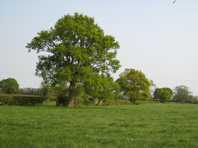
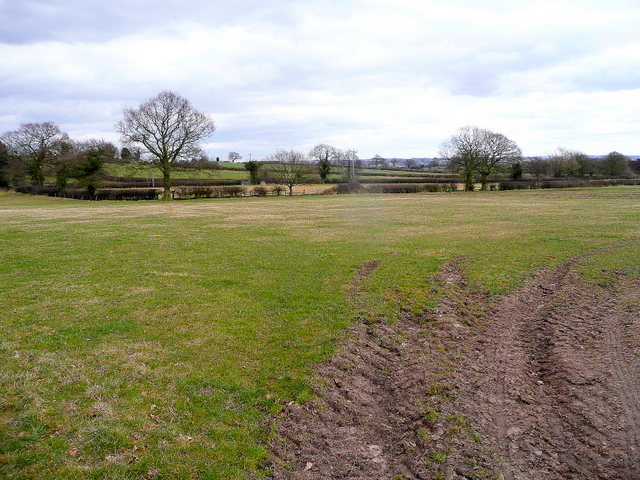
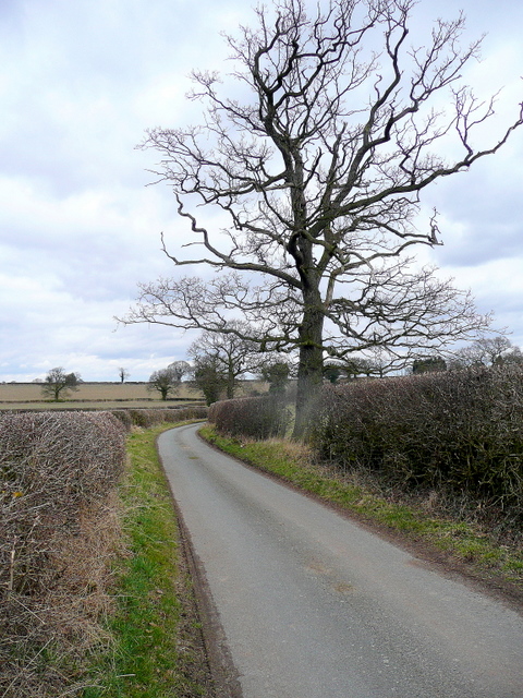
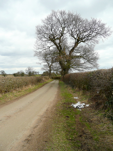
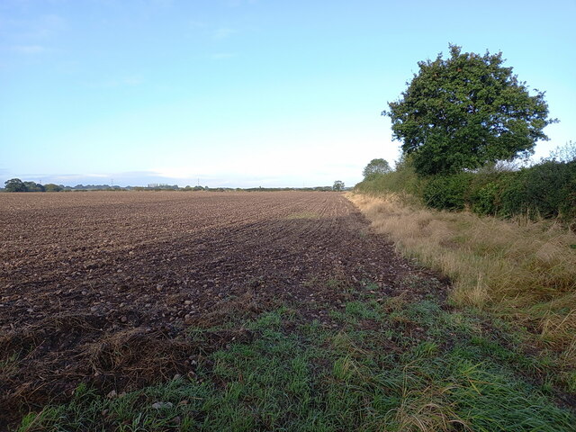
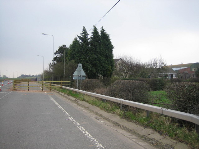
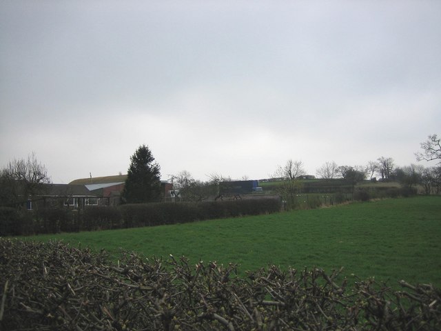
Alder Wood, located in Staffordshire, England, is a serene and captivating forest that spans over a vast area. It is renowned for its stunning natural beauty and rich biodiversity. The wood predominantly consists of alder trees, which are known for their distinctively beautiful foliage and ability to thrive in damp environments.

The forest features a well-maintained network of walking trails that allow visitors to explore its enchanting surroundings. These trails wind through the dense woodland, offering glimpses of the diverse wildlife that calls Alder Wood home. Visitors may encounter an array of bird species, such as woodpeckers and owls, as well as small mammals like squirrels and rabbits.

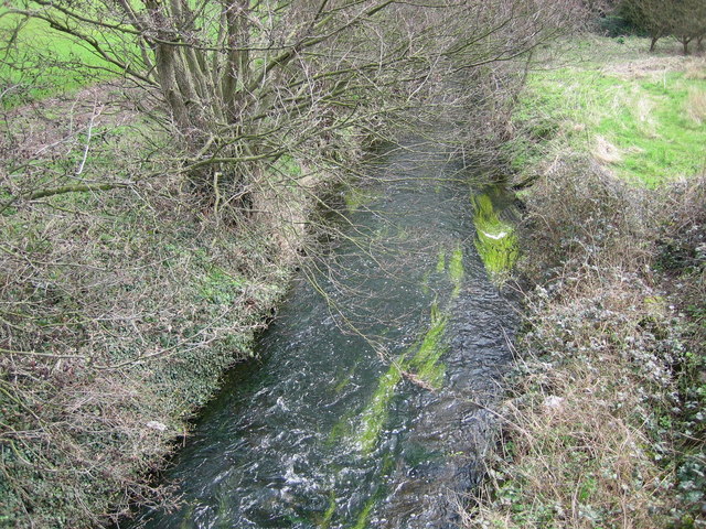
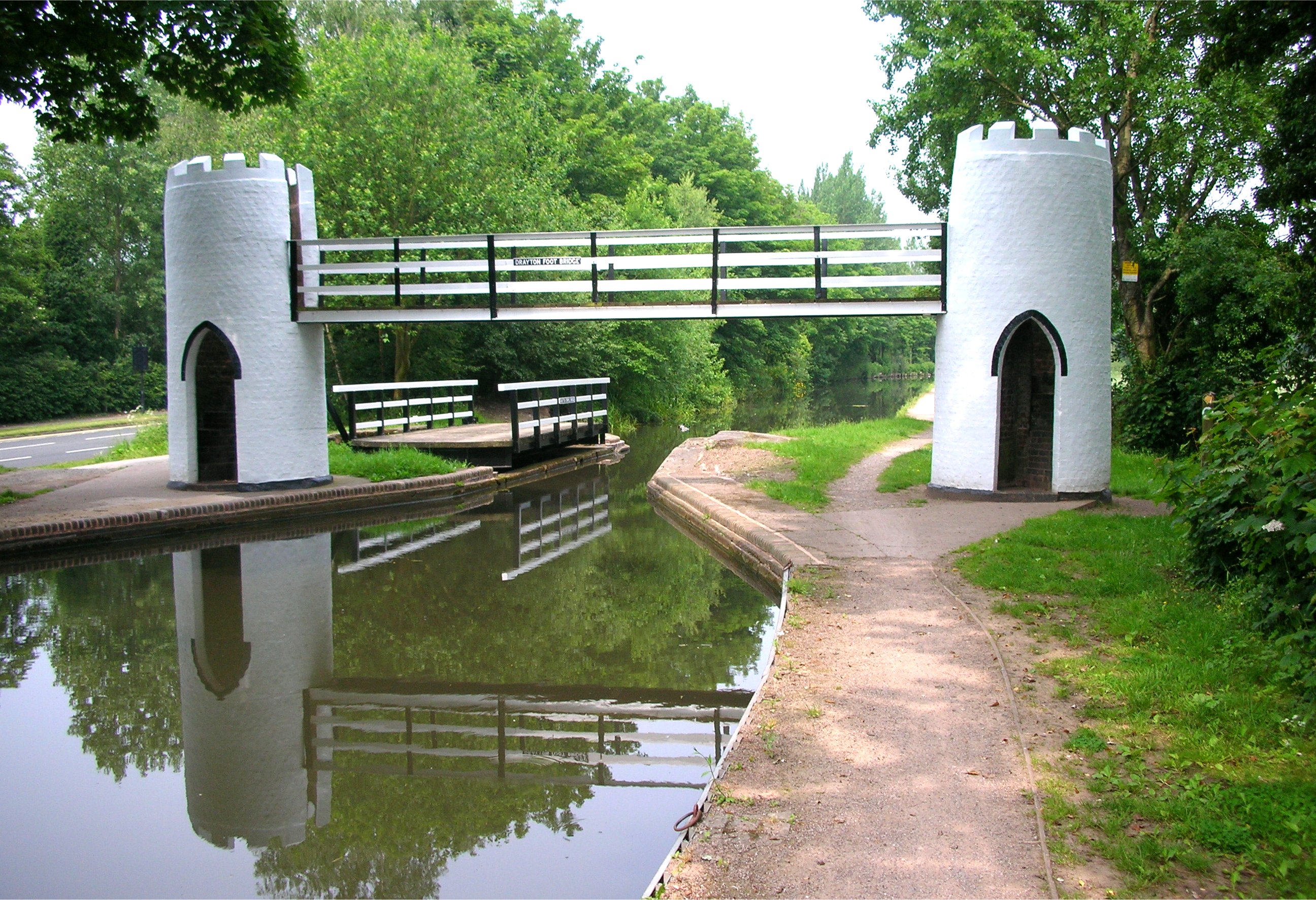
The wood's ecosystem is further enhanced by its proximity to a tranquil river that meanders through the forest, providing a source of water for the flora and fauna in the area. The river also adds to the serene ambiance of Alder Wood, making it an ideal destination for nature enthusiasts and those seeking a peaceful retreat.

Throughout the seasons, the wood showcases a range of natural beauty. In spring, the forest bursts into life with vibrant blossoms and the sounds of birdsong filling the air. Summer brings lush green foliage and dappled sunlight filtering through the canopy, while autumn delights with a kaleidoscope of fiery hues as the leaves change color. Even in winter, the wood exudes a certain charm, with frost-covered branches and a quiet stillness that invites introspection.

Overall, Alder Wood in Staffordshire is a captivating destination that offers a tranquil escape into nature's embrace. Its beautiful landscape, diverse wildlife, and well-preserved trails make it a haven for outdoor enthusiasts and a testament to the remarkable natural beauty of Staffordshire.

If you have any feedback on the listing, please let us know in the comments section below.
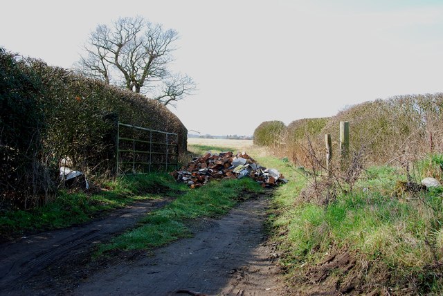
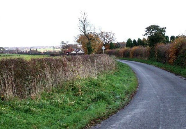
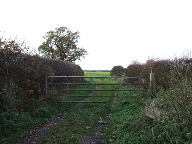
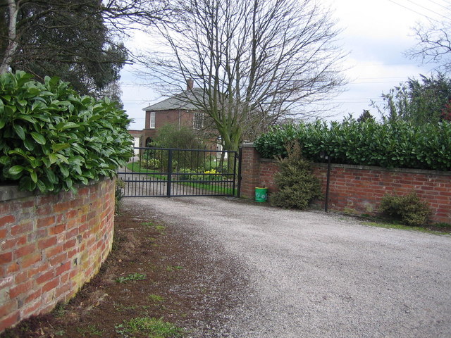
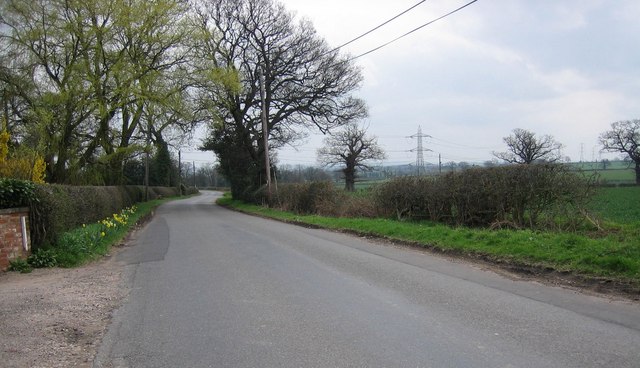
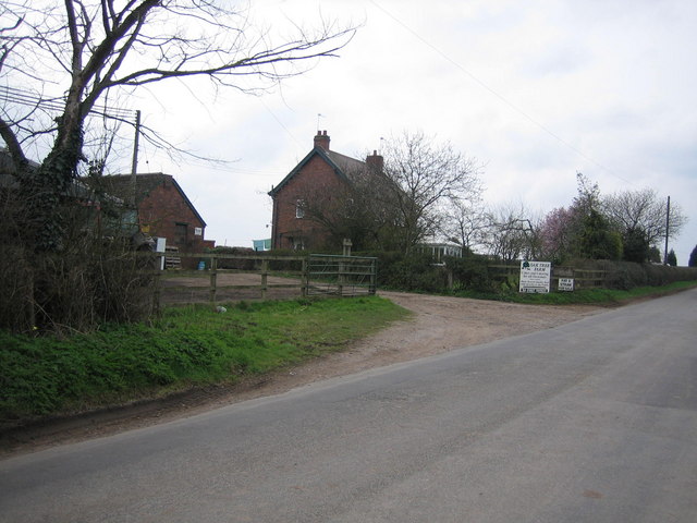
Alder Wood Images

Images are sourced within 2km of 52.611579/-1.7412031 or Grid Reference SK1701. Thanks to Geograph Open Source API. All images are credited.

Flytipping in Portleys lane
Portleys Lane, Drayton Bassett This is a back lane that avoids the main village of Drayton Bassett. The building in the centre is Brook Farm.
Portleys Lane, Drayton Bassett
This is a back lane that avoids the main village of Drayton Bassett. The building in the centre is Brook Farm.
Field Entrance off Portleys Lane As Portleys Lane bends 90º there is this gated access to a field with the hedges on either side delineating the boundaries of two other fields.
Field Entrance off Portleys Lane
As Portleys Lane bends 90º there is this gated access to a field with the hedges on either side delineating the boundaries of two other fields.
Farmland near Shirrall Hall Looking diagonally across the square from Shirrall Drive
Farmland near Shirrall Hall
Looking diagonally across the square from Shirrall Drive
East Staffordshire pastoral Flattish pasture land east of Shirrall Drive near Shirrall Hall Farm.
The tree centre left is the same one as in previous picture, <a href="https://www.geograph.org.uk/photo/415105">SP1799 : Farmland near Shirrall Hall</a>.
East Staffordshire pastoral
Flattish pasture land east of Shirrall Drive near Shirrall Hall Farm. The tree centre left is the same one as in previous picture, SP1799 : Farmland near Shirrall Hall.
Shirrall Drive Looking north-east towards the SK myriad line just beyond the bend in the lane.
Shirrall Drive
Looking north-east towards the SK myriad line just beyond the bend in the lane.
Power lines and pasture View north from Shirrall Drive.
Power lines and pasture
View north from Shirrall Drive.
Shirrall Drive Looking towards Drayton Bassett.
Shirrall Drive
Looking towards Drayton Bassett.
Field edge west of Brook Farm
Drayton Manor Theme Park The estate was once owned by The Peel family whose most famous son was Sir Robert who established the modern police force. Today it is home to a family theme park which includes rides such as Shockwave and Splash Canyon.
Drayton Manor Theme Park
The estate was once owned by The Peel family whose most famous son was Sir Robert who established the modern police force. Today it is home to a family theme park which includes rides such as Shockwave and Splash Canyon.
Bonehill A quiet scene with a countryside feel to it. Despite this the photograph was taken not far from a busy town.
Bonehill
A quiet scene with a countryside feel to it. Despite this the photograph was taken not far from a busy town.
Robert Peel Hospital This hospital is named after the MP who represented the town of Tamworth where it is located.
Robert Peel Hospital
This hospital is named after the MP who represented the town of Tamworth where it is located.
Bourne Brook This charming stream flows on onto Drayton Manor Park, feeding the lakes there.
Bourne Brook
This charming stream flows on onto Drayton Manor Park, feeding the lakes there.
Cranebrook on Drayton Lane This house is located not far from the Sutton Road.
Cranebrook on Drayton Lane
This house is located not far from the Sutton Road.
Drayton Lane View from the same location, looking down Drayton Lane towards Drayton Bassett.
Drayton Lane
View from the same location, looking down Drayton Lane towards Drayton Bassett.
Oak Tree Farm This is on the opposite side of the road the Oak Farm, and the craft centre.
Oak Tree Farm
This is on the opposite side of the road the Oak Farm, and the craft centre.
Bangley Farm
Bangley Farm
Bangley Farm
Bangley Farm
Show me another place!

Alder Wood is located at Grid Ref: SK1701 (Lat: 52.611579, Lng: -1.7412031)

Administrative County: Staffordshire

District: Lichfield

Police Authority: Staffordshire

What 3 Words

///system.relay.than. Near Fazeley, Staffordshire

Nearby Locations

Alder Wood

Related Wikis

Mile Oak Rovers & Youth F.C.

Mile Oak Rovers & Youth F.C. was a football club based in South Tamworth, Staffordshire, England. The club was established in 1958 and folded in 2010....

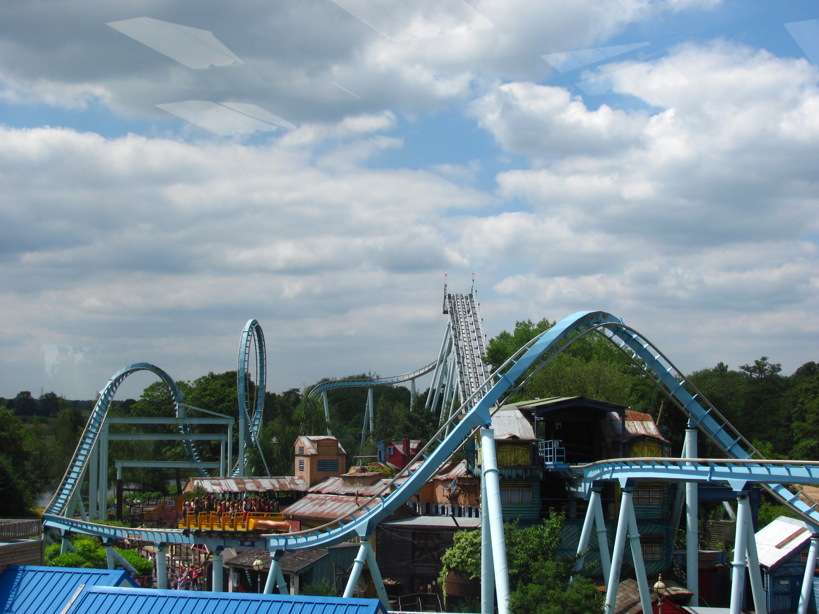
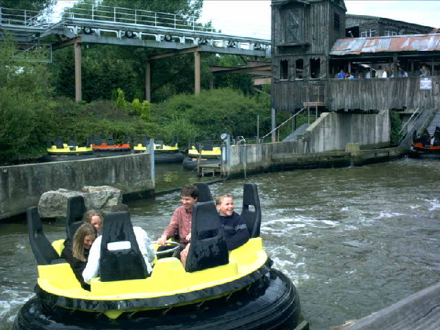
Shockwave (Drayton Manor)

Shockwave (Originally The 7up Shockwave) was an Intamin stand-up roller coaster, located at Drayton Manor Resort in Tamworth in the United Kingdom. It...

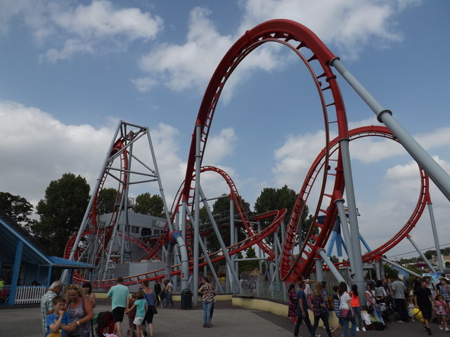
G Force (roller coaster)

G Force was a roller coaster at Drayton Manor Resort, Tamworth, England. It was the only X-Car coaster in the UK and was opened by the band G4 in 2005...

Accelerator (roller coaster)

Accelerator (formerly Ben 10 - Ultimate Mission) is a steel Family Boomerang roller coaster at Drayton Manor Resort. == Description == The ride is a prototype...

Drayton Manor Resort

Drayton Manor Resort is a family theme park, zoo and accommodation in the grounds of the former Drayton Manor, in Drayton Bassett, Staffordshire, England...

Thomas Land (Drayton Manor)

Thomas Land is a themed area at Drayton Manor Resort in Staffordshire, England, based on the popular long-running children's television series, Thomas...

Drayton Bassett

Drayton Bassett is a village and civil parish since 1974 in Lichfield District in Staffordshire, England. The village is on the Heart of England Way,...

Drayton Manor

Drayton Manor, one of Britain's lost houses, was a British stately home at Drayton Bassett, since its formation in the District of Lichfield, Staffordshire...

Nearby Amenities

Located within 500m of 52.611579,-1.7412031
Bus Stop
Gainsborough Drive
Bus: yes
Naptan AtcoCode: 3800C904100
Naptan Bearing: N
Naptan CommonName: Gainsborough Drive
Naptan Indicator: Opp
Naptan Landmark: Gainsborough Drive
Naptan Street: Sutton Road
Naptan Verified: no
Public Transport: platform
Source: naptan_import
Lat/Long: 52.6145943/-1.7401499
Bus Stop
Gainsborough Drive
Bus: yes
Naptan AtcoCode: 3800C904101
Naptan Bearing: SW
Naptan CommonName: Gainsborough Drive
Naptan Indicator: Adj
Naptan Landmark: Gainsborough Drive
Naptan Street: Sutton Road
Naptan Verified: no
Public Transport: platform
Source: naptan_import
Lat/Long: 52.6137806/-1.7409761
Natural: shrub
Lat/Long: 52.6149443/-1.7363497
Shelter
Shelter Type: public_transport
Lat/Long: 52.614679/-1.7401233
The data included in this document is from www.openstreetmap.org. The data is made available under ODbL.

Have you been to Alder Wood?

Leave your review of Alder Wood below (or comments, questions and feedback).