Beecroft Moor Plantation
Wood, Forest in Yorkshire Harrogate
England
Beecroft Moor Plantation
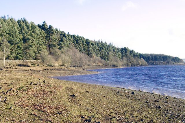
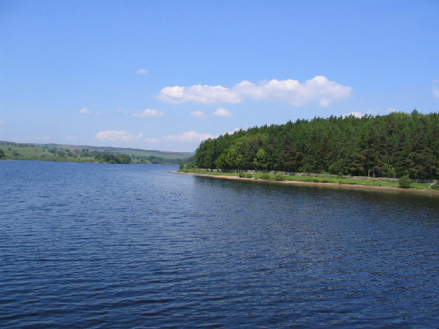
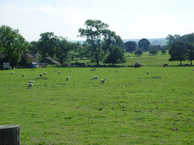
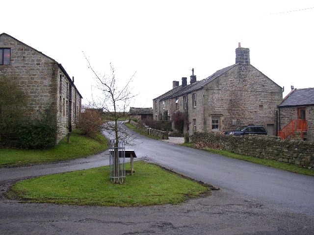
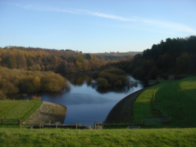
Beecroft Moor Plantation is a sprawling woodland located in Yorkshire, England. Spanning over several hundred acres, it is considered one of the largest and most diverse forests in the region. The plantation primarily consists of native deciduous trees, such as oak, beech, and birch, which create a beautiful and vibrant landscape all year round.
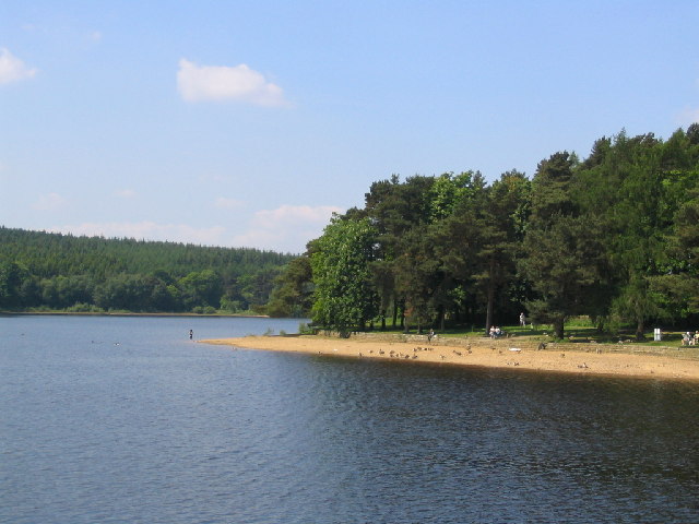
The woodland is home to a wide variety of wildlife, including deer, foxes, rabbits, and numerous species of birds. Nature enthusiasts and bird watchers often flock to Beecroft Moor Plantation to catch glimpses of rare and migratory birds that make the forest their temporary home. The diverse ecosystem also supports a plethora of plant species, including bluebells, primroses, and ferns, which add to the enchanting atmosphere.
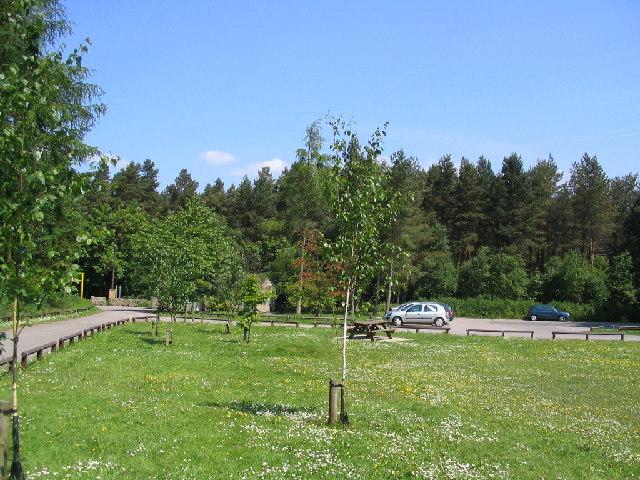
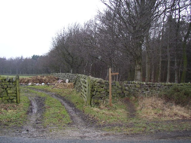
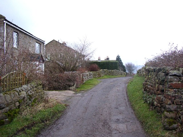
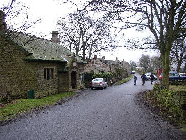
Visitors to Beecroft Moor Plantation can explore the forest through a network of well-maintained trails and footpaths. These paths wind through the woodland, offering breathtaking views of the surrounding countryside and providing opportunities for peaceful walks and hikes. The tranquility of the forest makes it a popular destination for those seeking solace and relaxation amidst nature.
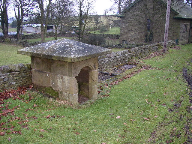
In addition to its natural beauty, Beecroft Moor Plantation is also of historical significance. The remnants of an ancient Roman road can be found within the woodland, serving as a reminder of the region's rich heritage.
Overall, Beecroft Moor Plantation is a picturesque and diverse woodland that offers visitors a chance to immerse themselves in the beauty of nature. Whether it be for leisurely walks, wildlife spotting, or historical exploration, the plantation provides a truly captivating experience for all who venture into its depths.
If you have any feedback on the listing, please let us know in the comments section below.
Beecroft Moor Plantation Images
Images are sourced within 2km of 53.980845/-1.7336694 or Grid Reference SE1753. Thanks to Geograph Open Source API. All images are credited.


Beecroft Moor Plantation is located at Grid Ref: SE1753 (Lat: 53.980845, Lng: -1.7336694)
Division: West Riding
Administrative County: North Yorkshire
District: Harrogate
Police Authority: North Yorkshire
What 3 Words
///jumped.official.clinking. Near Burley in Wharfedale, West Yorkshire
Nearby Locations
Related Wikis

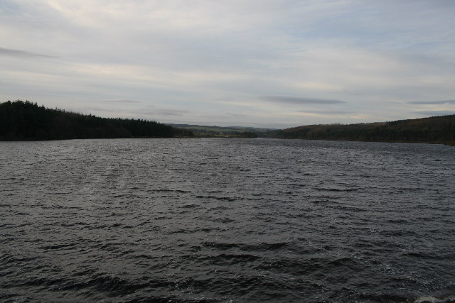
Fewston Reservoir
Fewston Reservoir is located in the Washburn valley north of Otley and west of Harrogate in Yorkshire, England. It was built in 1879. The capacity is about...

Fewston
Fewston is a village and civil parish in the Harrogate district of North Yorkshire, England. It is situated north of Otley and close to Swinsty and Fewston...

Timble
Timble is a village in the Harrogate district of North Yorkshire, England. It is situated on the slopes of the Washburn valley, north of Otley and close...

Blubberhouses
Blubberhouses is a small village and civil parish in the Washburn Valley in North Yorkshire, England. The population as at the 2011 Census was less than...
Swinsty Reservoir
Swinsty Reservoir is a reservoir in the Washburn valley north of Otley and west of Harrogate in Yorkshire, England. Construction began in 1871 and was...

Snowden Crags
Snowden Crags is a prehistoric archaeological site on Askwith Moor in North Yorkshire, England. Local antiquarian Eric Cowling recorded a stone circle...

Kex Gill Bypass
The Kex Gill Bypass is a future stretch of A-road across Kex Gill Moor to Blubberhouses in North Yorkshire, England. The route is part of the A59 road...

HMS Forest Moor
HMS Forest Moor was a Royal Navy land base located in Nidderdale in the borough of Harrogate, North Yorkshire, England. == History == The establishment...
Nearby Amenities
Located within 500m of 53.980845,-1.7336694Have you been to Beecroft Moor Plantation?
Leave your review of Beecroft Moor Plantation below (or comments, questions and feedback).