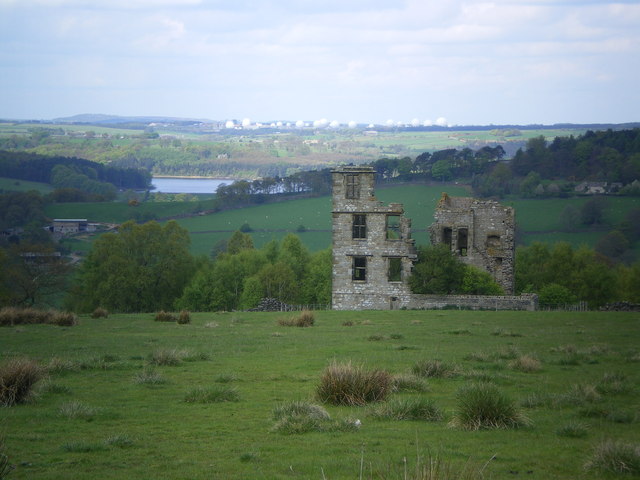
Brickhouse Plantation
Wood, Forest in Yorkshire Harrogate
England
Brickhouse Plantation
Brickhouse Plantation, located in Yorkshire, England, is a sprawling estate situated amidst lush woodlands and serene forests. Spanning over several acres, this idyllic property offers a picturesque retreat for nature enthusiasts and those seeking tranquility.
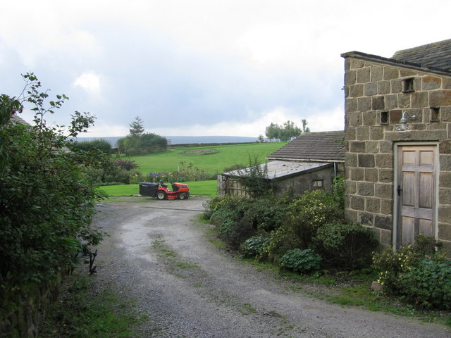
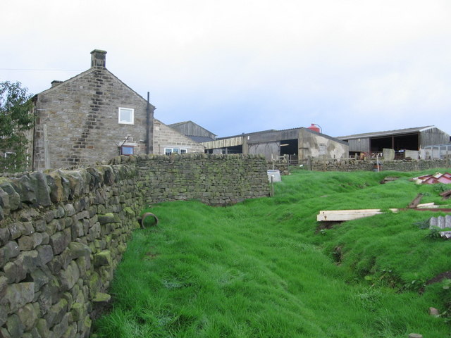
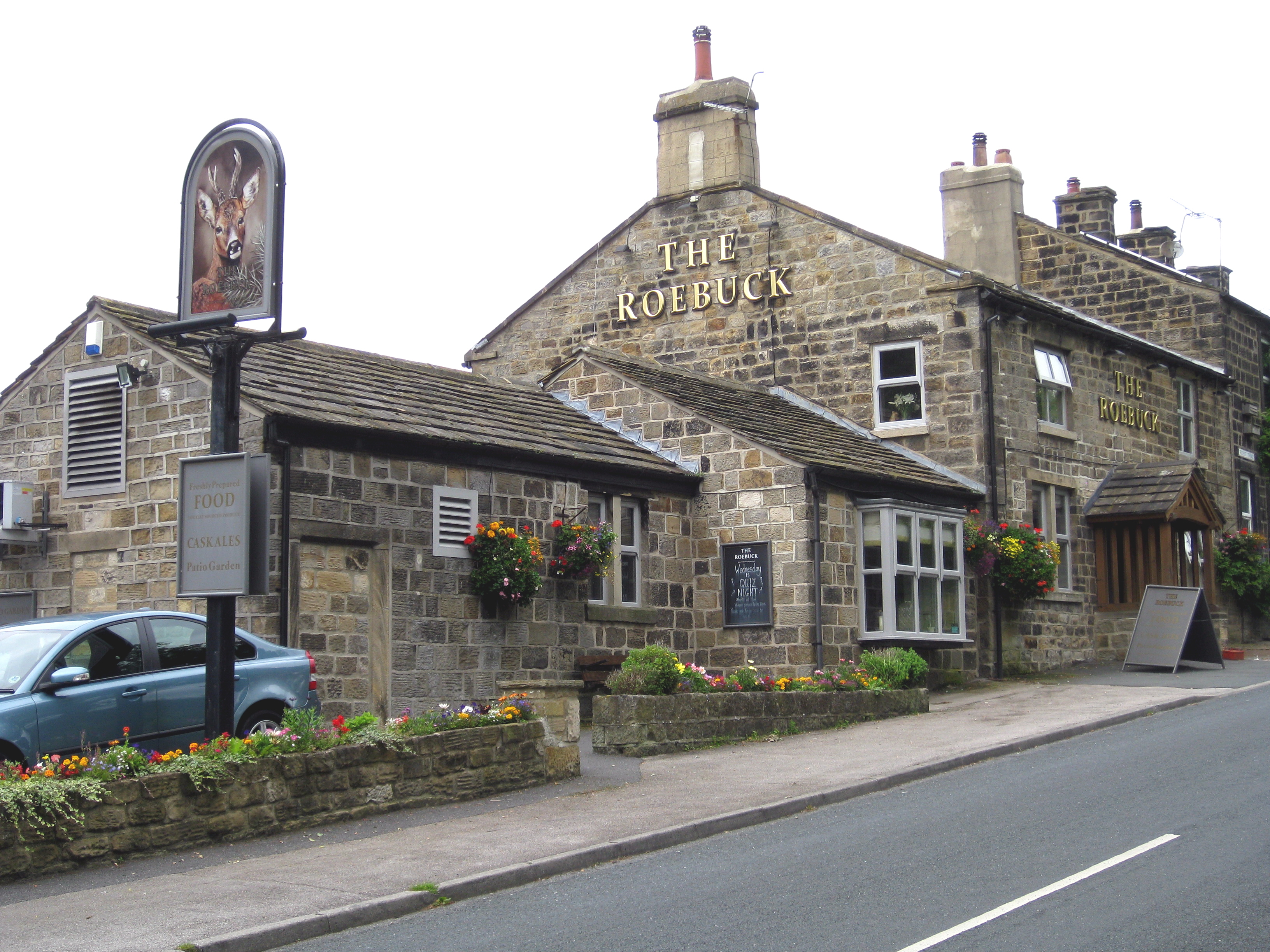
The plantation is characterized by its impressive array of brick-built structures, which lend it a distinct architectural charm. The main house, a magnificent mansion, serves as the centerpiece of the estate. Boasting elegant Georgian-style design elements, it exudes grandeur and sophistication.
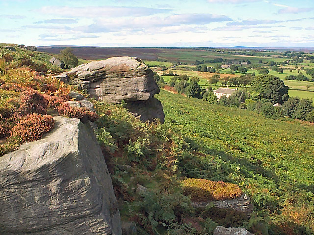
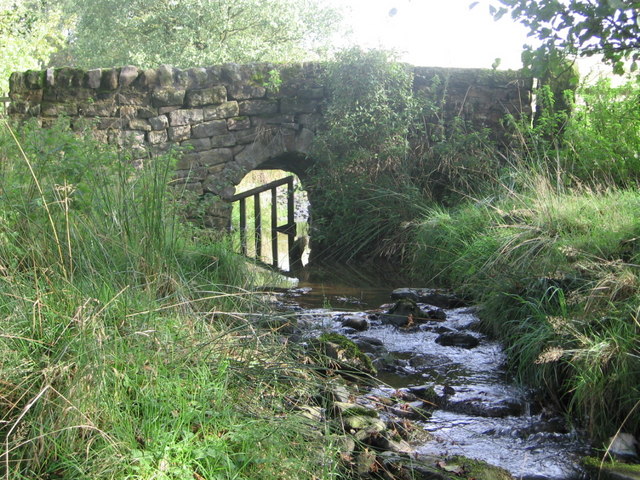
The surrounding woodlands and forests of Brickhouse Plantation are a haven for flora and fauna. Towering oak, beech, and ash trees dominate the landscape, providing a rich habitat for a diverse range of wildlife. Visitors can explore the various walking trails that wind through the estate, immersing themselves in the beauty of nature.
Apart from its natural wonders, Brickhouse Plantation also offers recreational amenities. A well-maintained tennis court and a private swimming pool provide opportunities for outdoor activities and leisure. The estate also features beautifully landscaped gardens, adorned with colorful flowers and carefully manicured lawns, perfect for relaxing strolls or picnics.
Brickhouse Plantation is not only a sanctuary for nature enthusiasts but also a place of historical significance. The estate has a rich heritage, dating back several centuries. It has witnessed the passage of time and the evolution of Yorkshire's landscape, making it a unique destination for history buffs.
In conclusion, Brickhouse Plantation in Yorkshire, with its stunning brick-built structures, breathtaking woodlands, and rich history, offers a captivating experience for visitors seeking solace in nature's embrace.
If you have any feedback on the listing, please let us know in the comments section below.
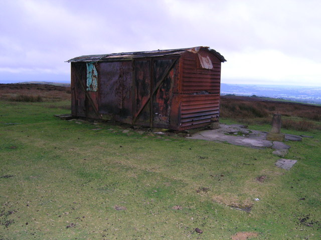
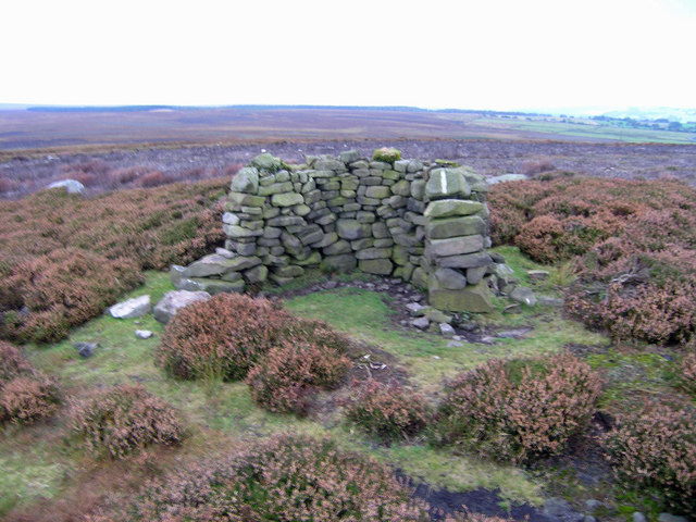
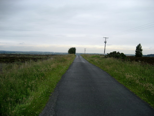
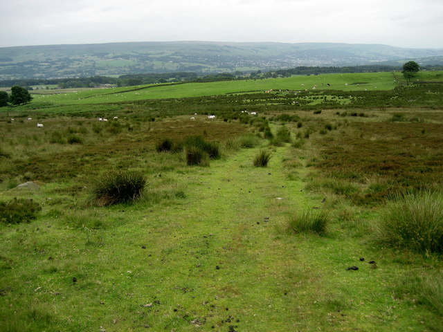
Brickhouse Plantation Images
Images are sourced within 2km of 53.944577/-1.7366731 or Grid Reference SE1749. Thanks to Geograph Open Source API. All images are credited.


Brickhouse Plantation is located at Grid Ref: SE1749 (Lat: 53.944577, Lng: -1.7366731)
Division: West Riding
Administrative County: North Yorkshire
District: Harrogate
Police Authority: North Yorkshire
What 3 Words
///seriously.quack.condense. Near Burley in Wharfedale, West Yorkshire
Nearby Locations
Related Wikis

Snowden Crags
Snowden Crags is a prehistoric archaeological site on Askwith Moor in North Yorkshire, England. Local antiquarian Eric Cowling recorded a stone circle...

Askwith
Askwith is a village and civil parish in North Yorkshire, England, with a population of 220 (2001 census), increasing to 240 at the 2011 Census. The village...
Newall with Clifton
Newall with Clifton (historically also spelt Newell with Clifton) is a civil parish in North Yorkshire, England. It lies two miles north of Otley in West...

Weston, North Yorkshire
Weston is a village and civil parish in the former Harrogate district of North Yorkshire, England. The village is 1.2 miles (2 km) north–west of Otley...

Denton Hall, Wharfedale
Denton Hall is an English country house located to the north of the River Wharfe, at Denton, Borough of Harrogate, North Yorkshire, England between Otley...
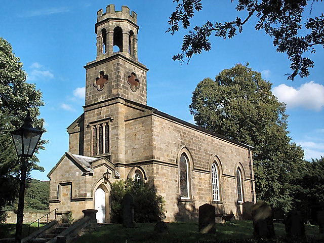
Church of St Helen, Denton
The Church of St Helen, Denton is a parish church in the hamlet of Denton, near Otley, in North Yorkshire, England. The church was built in 1776 by the...

Fewston
Fewston is a village and civil parish in the Harrogate district of North Yorkshire, England. It is situated north of Otley and close to Swinsty and Fewston...

Timble
Timble is a village in the Harrogate district of North Yorkshire, England. It is situated on the slopes of the Washburn valley, north of Otley and close...
Nearby Amenities
Located within 500m of 53.944577,-1.7366731Have you been to Brickhouse Plantation?
Leave your review of Brickhouse Plantation below (or comments, questions and feedback).