Furse Close Copse
Wood, Forest in Hampshire New Forest
England
Furse Close Copse
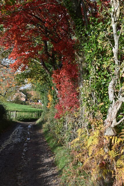
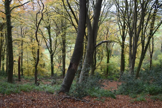
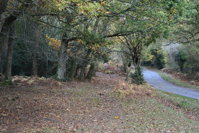
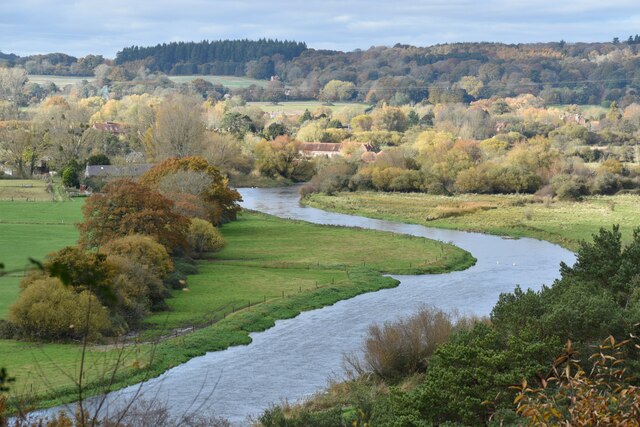
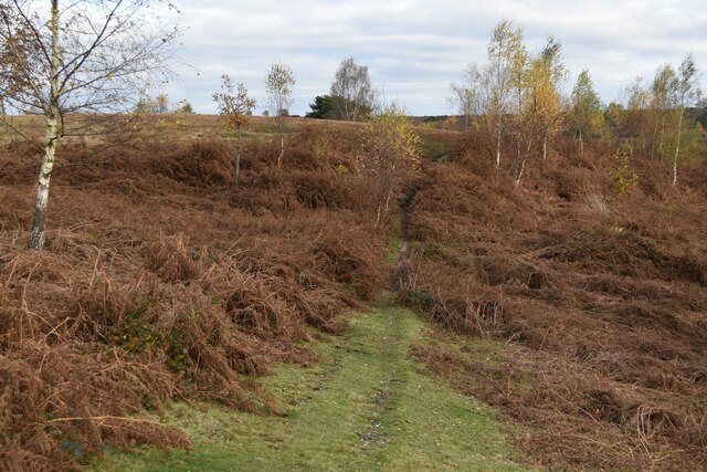
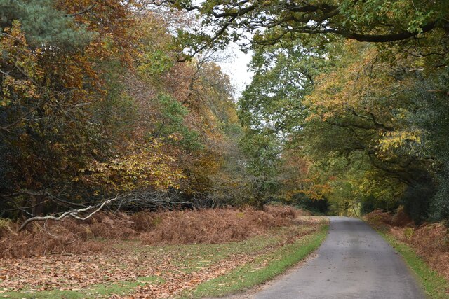
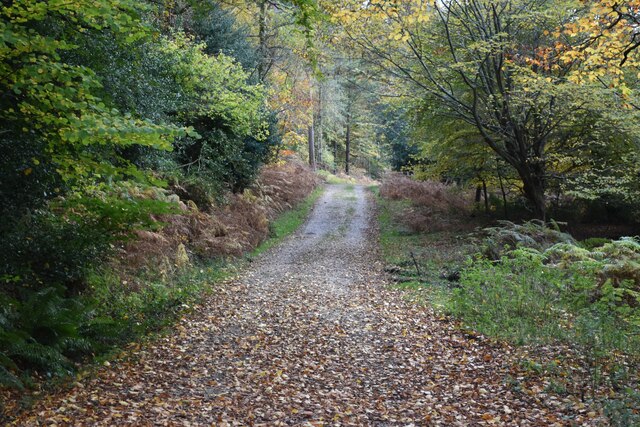
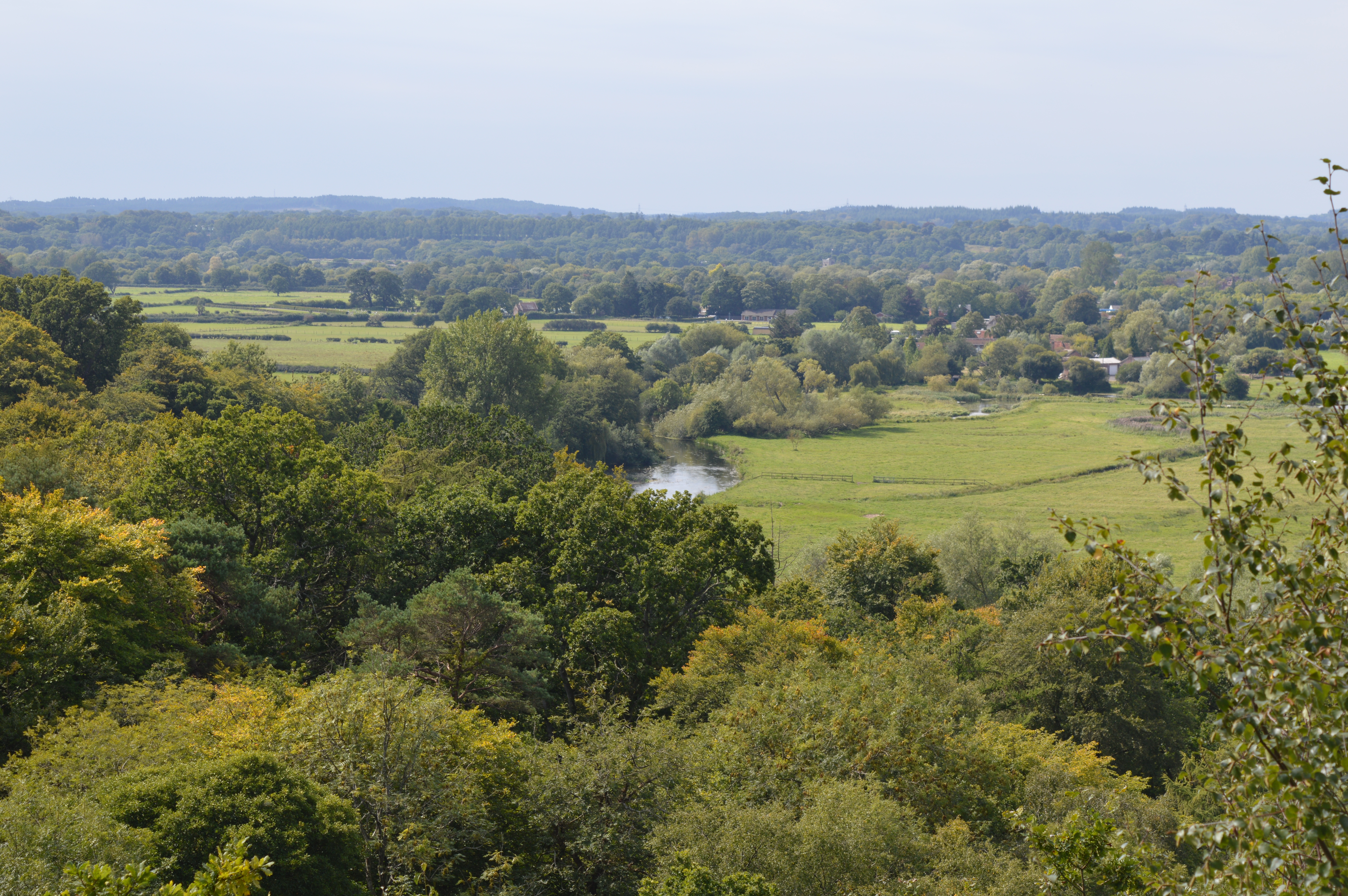
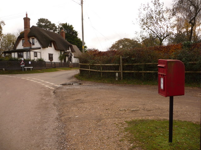
Furse Close Copse is a picturesque woodland located in Hampshire, England. Covering an area of approximately 10 hectares, this charming copse is a haven for nature lovers and outdoor enthusiasts alike. Situated near the village of Furse, it offers a tranquil escape from the hustle and bustle of city life.
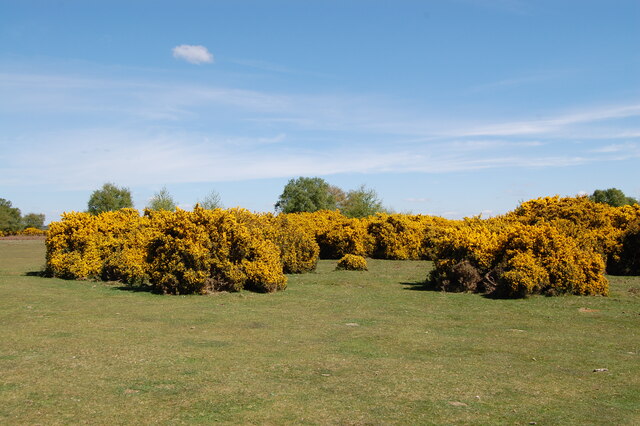
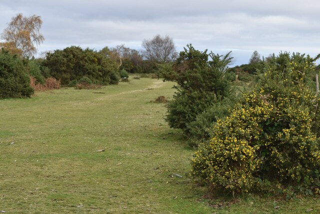
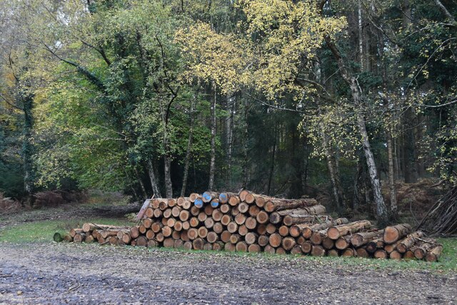
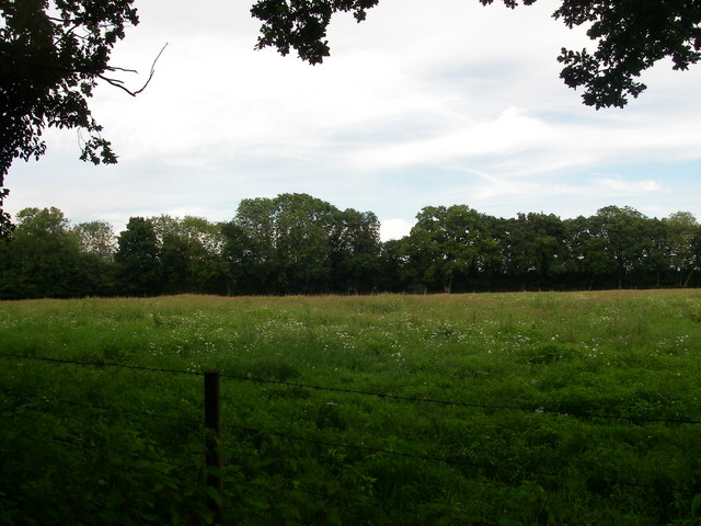
The copse is predominantly made up of a variety of broadleaf trees, including oak, beech, and ash. These towering trees create a dense canopy, providing shade and shelter for an array of wildlife. Birdwatchers will delight in the copse's avian residents, which include songbirds such as the blackbird and the robin, as well as the occasional sighting of woodpeckers and owls.
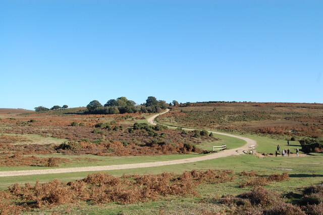
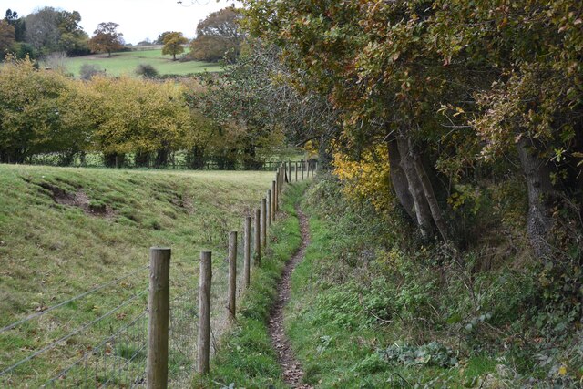
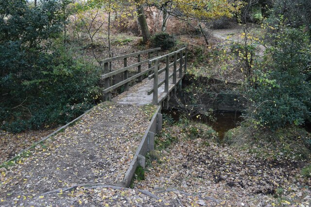
Furse Close Copse boasts a network of well-maintained footpaths, making it an ideal location for walking and hiking. Visitors can explore the copse's winding trails, which meander through the lush undergrowth and lead to hidden clearings. In the springtime, the forest floor is carpeted with bluebells, creating a stunning floral display.
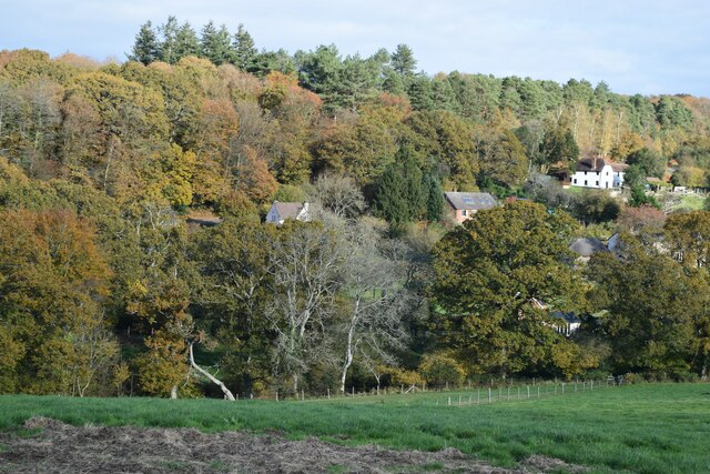
The copse also holds historical significance, as it is believed to have been part of an ancient woodland that once covered much of the Hampshire area. This adds to its allure, as visitors can imagine the centuries of natural beauty and serenity that have unfolded within its boundaries.
Overall, Furse Close Copse is a truly enchanting woodland. With its diverse flora and fauna, peaceful atmosphere, and rich history, it is a must-visit destination for anyone seeking to connect with nature and experience the beauty of Hampshire's countryside.
If you have any feedback on the listing, please let us know in the comments section below.
Furse Close Copse Images
Images are sourced within 2km of 50.936851/-1.754456 or Grid Reference SU1715. Thanks to Geograph Open Source API. All images are credited.
Furse Close Copse is located at Grid Ref: SU1715 (Lat: 50.936851, Lng: -1.754456)
Administrative County: Hampshire
District: New Forest
Police Authority: Hampshire
What 3 Words
///jots.bitters.resolved. Near Fordingbridge, Hampshire
Nearby Locations
Related Wikis
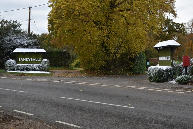
Sandy Balls
Sandy Balls is 120 acres (0.49 km2) of woods and parkland near the New Forest in Hampshire, England. Located between the village of Godshill and the town...
Frankenbury Camp
Frankenbury Camp is the site of an Iron Age univallate hillfort located in Hampshire. The site is on a very slight promontory overlooking the Avon Valley...

Godshill, Hampshire
Godshill is a village and civil parish and in New Forest National Park in Hampshire, England. It is about 1+1⁄2 miles (2.4 km) east of the town of Fordingbridge...
Blissford
Blissford is a hamlet in the civil parish of Hyde situated in the New Forest National Park in Hampshire, England. Its nearest town is Fordingbridge, which...

Burgate, Hampshire
Burgate (divided into Upper Burgate and Lower Burgate) is a hamlet situated on the western edge of the New Forest National Park in Hampshire, England....

The Burgate School and Sixth Form
The Burgate School and Sixth Form (opened in 1957) is an 11–18 academy school. The school is situated in Fordingbridge, Hampshire, and at the current time...

Woodgreen
Woodgreen is a village and civil parish within the New Forest district of Hampshire in England. == Overview == Woodgreen lies between Breamore and Hale...

Stuckton
Stuckton is a hamlet in the New Forest National Park of Hampshire, England. Its nearest town is Fordingbridge, which lies approximately 1 mile (1.7 km...
Nearby Amenities
Located within 500m of 50.936851,-1.754456Have you been to Furse Close Copse?
Leave your review of Furse Close Copse below (or comments, questions and feedback).