Black Plantation
Wood, Forest in Yorkshire Harrogate
England
Black Plantation
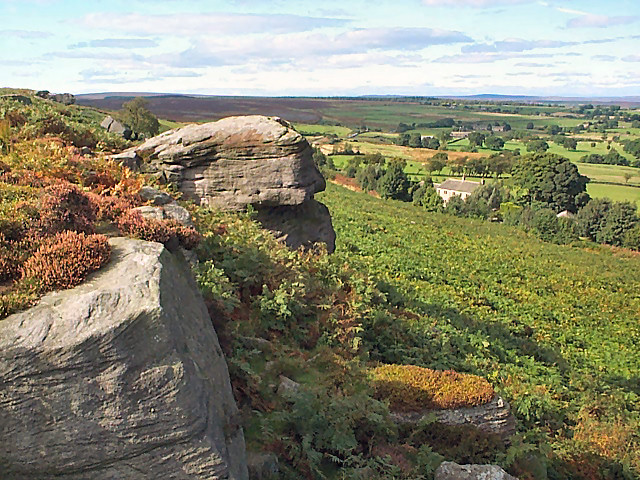
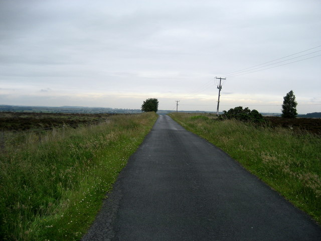
Black Plantation is a picturesque woodland located in Yorkshire, England. Situated in the heart of the county, this enchanting forest covers an expansive area and is renowned for its stunning natural beauty. The woodland is characterized by its dense canopy of tall, majestic trees, predominantly consisting of various species such as oak, beech, and ash.
The name "Black Plantation" is derived from the dark and mysterious atmosphere that permeates the forest, created by the towering trees that block out much of the sunlight. This unique ambiance adds to the allure of the woodland, attracting nature enthusiasts, hikers, and photographers alike.
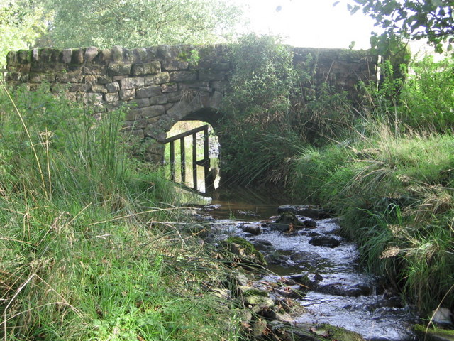
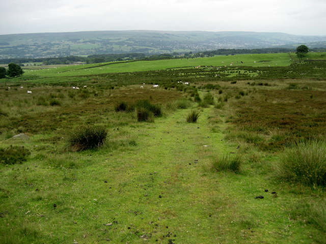
The woodland offers a range of walking trails that wind through its ancient trees, providing visitors with an opportunity to immerse themselves in the tranquility and serenity of the surroundings. The paths are well-maintained and clearly marked, ensuring a safe and enjoyable experience for all. Exploring the woodland, one can encounter an array of wildlife, including deer, rabbits, and a variety of bird species.
Black Plantation is also home to a diverse range of plant life, with a rich understory of ferns, mosses, and wildflowers adding to the forest's natural charm. The forest floor is covered in a thick carpet of fallen leaves, which creates a magical scene during autumn when the foliage turns vibrant shades of red, orange, and gold.
The woodland is easily accessible, with designated parking areas and nearby amenities, including picnic spots and restroom facilities. Whether visiting for a leisurely stroll, a family outing, or a peaceful retreat, Black Plantation offers a truly enchanting experience for nature enthusiasts of all ages.
If you have any feedback on the listing, please let us know in the comments section below.
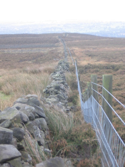
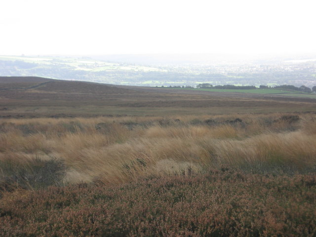
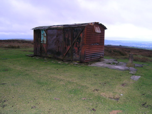
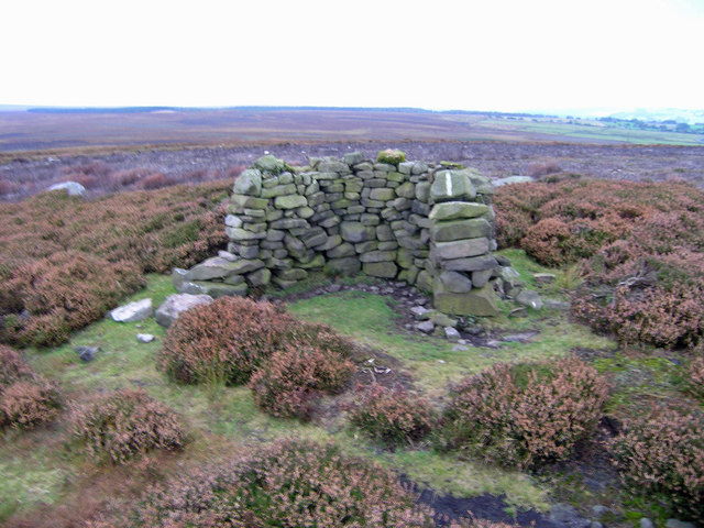
Black Plantation Images
Images are sourced within 2km of 53.948079/-1.7395154 or Grid Reference SE1750. Thanks to Geograph Open Source API. All images are credited.


Black Plantation is located at Grid Ref: SE1750 (Lat: 53.948079, Lng: -1.7395154)
Division: West Riding
Administrative County: North Yorkshire
District: Harrogate
Police Authority: North Yorkshire
What 3 Words
///successor.tangling.dealings. Near Burley in Wharfedale, West Yorkshire
Nearby Locations
Related Wikis

Snowden Crags
Snowden Crags is a prehistoric archaeological site on Askwith Moor in North Yorkshire, England. Local antiquarian Eric Cowling recorded a stone circle...

Askwith
Askwith is a village and civil parish in North Yorkshire, England, with a population of 220 (2001 census), increasing to 240 at the 2011 Census. The village...

Fewston
Fewston is a village and civil parish in the Harrogate district of North Yorkshire, England. It is situated north of Otley and close to Swinsty and Fewston...

Timble
Timble is a village in the Harrogate district of North Yorkshire, England. It is situated on the slopes of the Washburn valley, north of Otley and close...

Denton Hall, Wharfedale
Denton Hall is an English country house located to the north of the River Wharfe, at Denton, Borough of Harrogate, North Yorkshire, England between Otley...
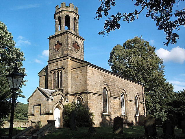
Church of St Helen, Denton
The Church of St Helen, Denton is a parish church in the hamlet of Denton, near Otley, in North Yorkshire, England. The church was built in 1776 by the...
Newall with Clifton
Newall with Clifton (historically also spelt Newell with Clifton) is a civil parish in North Yorkshire, England. It lies two miles north of Otley in West...

Denton, North Yorkshire
Denton is a hamlet and civil parish in the Harrogate district of North Yorkshire, England. At the 2011 Census the population of this civil parish was less...
Nearby Amenities
Located within 500m of 53.948079,-1.7395154Have you been to Black Plantation?
Leave your review of Black Plantation below (or comments, questions and feedback).