Hall Wood
Wood, Forest in Yorkshire Harrogate
England
Hall Wood

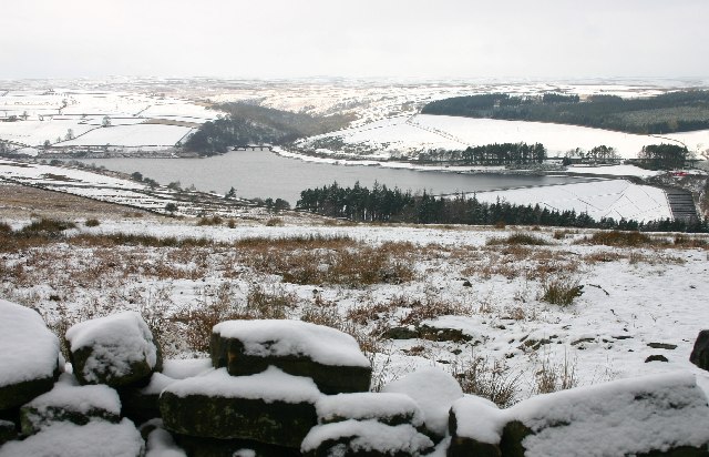
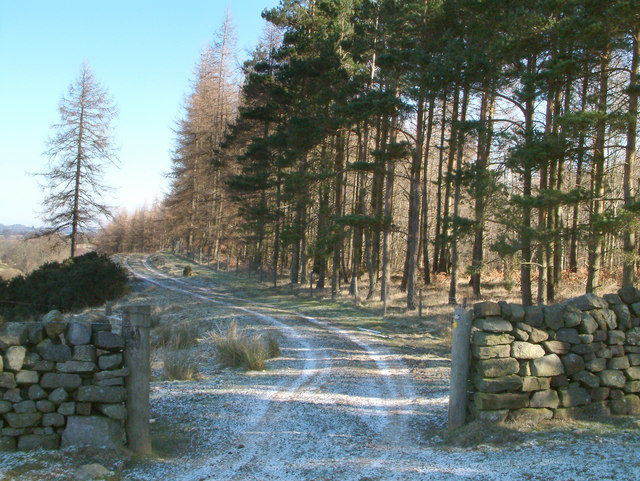
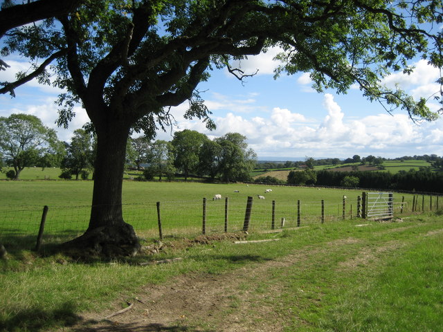
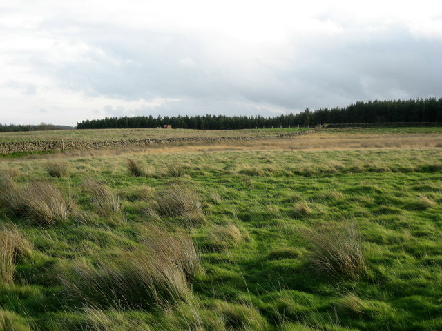
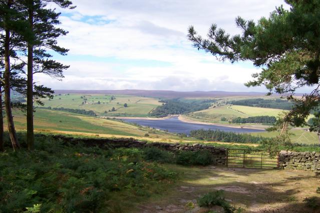
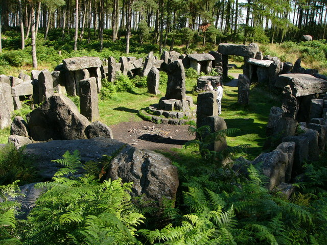
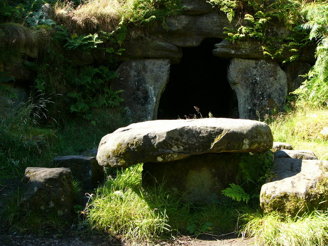
Hall Wood is a picturesque woodland area located in Yorkshire, England. Situated within the larger region of Yorkshire Dales National Park, it spans across an area of approximately 100 acres. Hall Wood is known for its dense canopy of trees, diverse flora and fauna, and tranquil atmosphere.
The woodland consists primarily of broadleaf trees, including oak, beech, and birch, which create a vibrant and colorful landscape throughout the year. The forest floor is blanketed with a variety of wildflowers, ferns, and mosses, adding to the area's natural beauty. The wood is also home to numerous bird species, such as woodpeckers, owls, and songbirds, making it a popular spot for birdwatching enthusiasts.
Visitors to Hall Wood can enjoy a range of activities within the forest. There are several well-maintained trails that wind through the woodland, providing opportunities for hiking, walking, and nature photography. The peaceful ambiance of the wood also makes it an ideal place for relaxation and meditation.
In addition to its natural attractions, Hall Wood offers educational opportunities for visitors. The Yorkshire Dales National Park Authority organizes guided walks and workshops to educate people about the importance of woodland conservation and the various species that inhabit the area.
Overall, Hall Wood in Yorkshire is a captivating forest that captivates visitors with its natural beauty and tranquil atmosphere. Whether one seeks outdoor adventure, wildlife observation, or simply a peaceful retreat, Hall Wood offers a charming haven in the heart of Yorkshire.
If you have any feedback on the listing, please let us know in the comments section below.
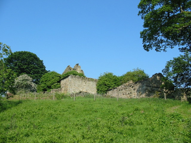
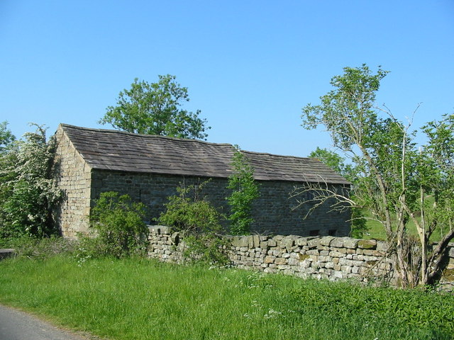
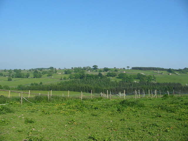
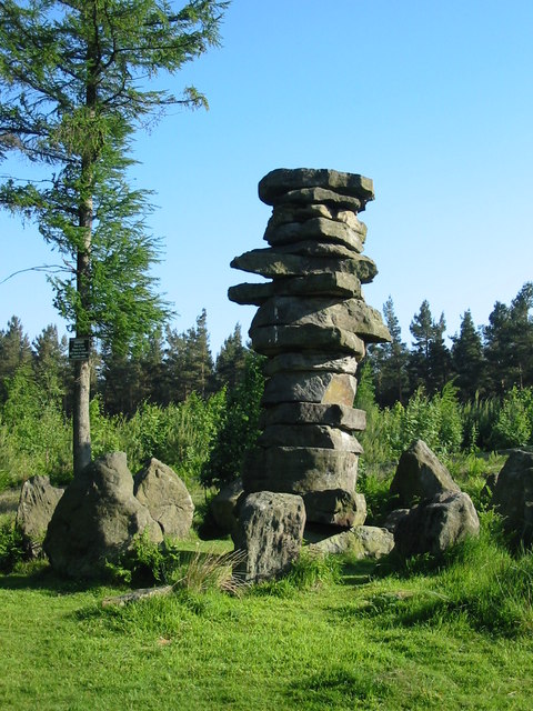
Hall Wood Images
Images are sourced within 2km of 54.213919/-1.7380005 or Grid Reference SE1779. Thanks to Geograph Open Source API. All images are credited.


Hall Wood is located at Grid Ref: SE1779 (Lat: 54.213919, Lng: -1.7380005)
Division: North Riding
Administrative County: North Yorkshire
District: Harrogate
Police Authority: North Yorkshire
What 3 Words
///rings.crumble.cashiers. Near Masham, North Yorkshire
Nearby Locations
Related Wikis

Leighton, North Yorkshire
Leighton is a hamlet in the civil parish of Healey in the Harrogate district of North Yorkshire, England. It is near Leighton Reservoir that provides for...

Healey, North Yorkshire
Healey is a small village and civil parish in the Harrogate district of North Yorkshire, England. It is situated in the valley of the River Burn, to the...

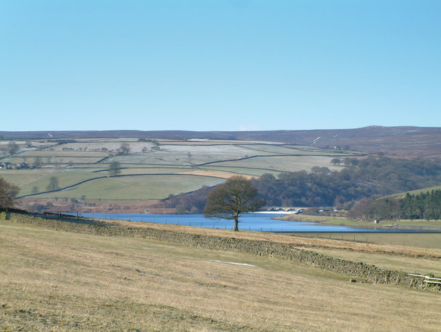
Leighton Reservoir
Leighton Reservoir is a reservoir which drains via the River Burn to the River Ure in North Yorkshire, England. It neighbours Roundhill Reservoir and is...

Colsterdale Light Railway
The Colsterdale Light Railway (CLR) was a narrow-gauge railway line in Colsterdale, North Yorkshire, England. It was built between 1903 and 1905 to allow...

Gollinglith Foot
Gollinglith Foot (GOWN-li FOOT), historically also spelt Gownley Foot, is a hamlet in the civil parish of Healey in the Harrogate district of North Yorkshire...
Ilton, North Yorkshire
Ilton is a village in North Yorkshire, England, 3 miles south-west of Masham. It is the principal settlement in the civil parish of Ilton cum Pott, in...

Fearby
Fearby is a village and civil parish in North Yorkshire, England. It is located in the valley of the River Burn 2 miles (3 km) west of Masham. Nearby settlements...

Ellingstring
Ellingstring is a village and civil parish in Wensleydale in North Yorkshire, England, about 5 miles (8 km) south-east of Leyburn, and 3.5 miles (5.6 km...
Nearby Amenities
Located within 500m of 54.213919,-1.7380005Have you been to Hall Wood?
Leave your review of Hall Wood below (or comments, questions and feedback).