Marebottom Tip Plantation
Wood, Forest in Derbyshire High Peak
England
Marebottom Tip Plantation

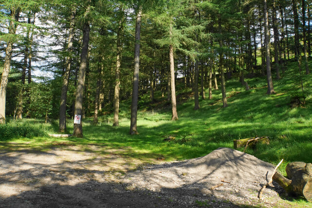
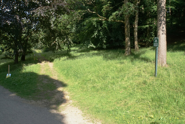
Marebottom Tip Plantation is a sprawling woodland located in Derbyshire, England. Covering an area of approximately 200 acres, this forested area is a natural haven for wildlife and an ideal destination for outdoor enthusiasts.
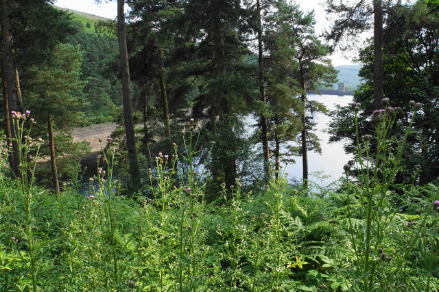
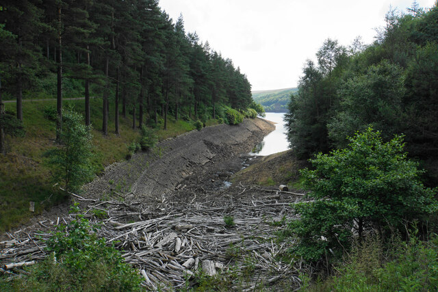
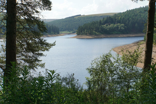
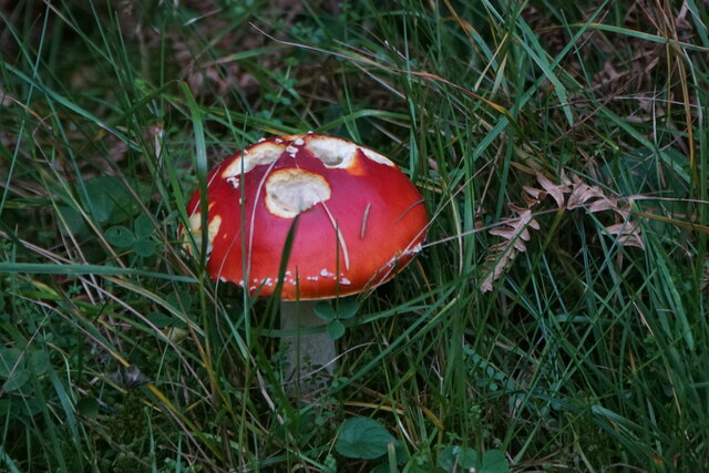
The plantation is characterized by a diverse range of trees, including oak, beech, and birch, which create a rich and vibrant landscape throughout the year. These trees provide shelter and food for a variety of bird species, making it a popular spot for birdwatching. The plantation is also home to a wide array of other wildlife, including deer, foxes, and squirrels.
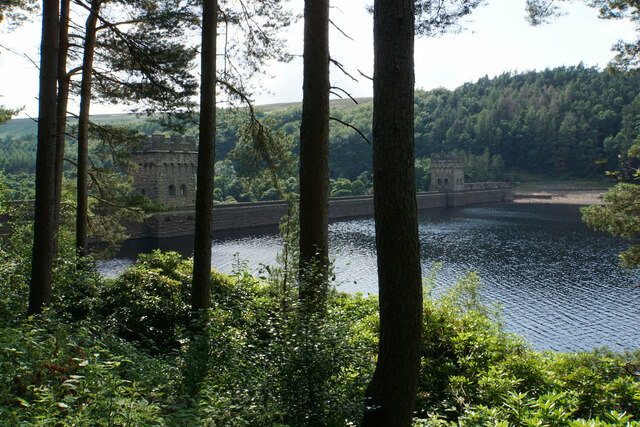
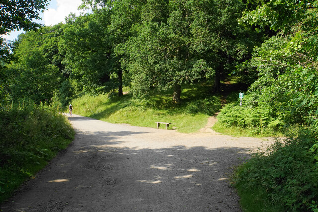
The woodland features well-maintained footpaths, allowing visitors to explore the plantation at their own pace. Walking through the plantation, one can enjoy the peaceful ambiance, surrounded by the tranquility of nature. In the spring, the forest floor becomes carpeted with a colorful display of wildflowers, creating a picturesque scene.
Marebottom Tip Plantation offers opportunities for various recreational activities such as hiking, jogging, and picnicking. Many visitors also enjoy capturing the beauty of the woodland through photography. The plantation is easily accessible, with ample parking available for those arriving by car.
Overall, Marebottom Tip Plantation in Derbyshire is a nature lover's paradise, offering a serene escape from the bustle of everyday life. With its stunning natural beauty and diverse wildlife, it is a must-visit destination for anyone seeking a peaceful retreat in the heart of the English countryside.
If you have any feedback on the listing, please let us know in the comments section below.
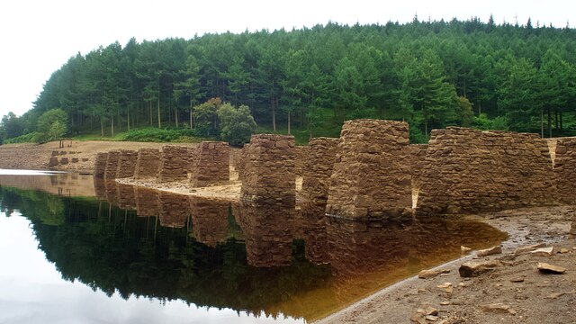
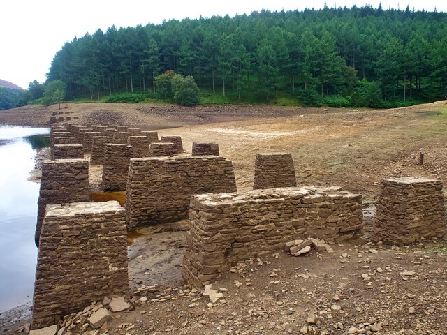
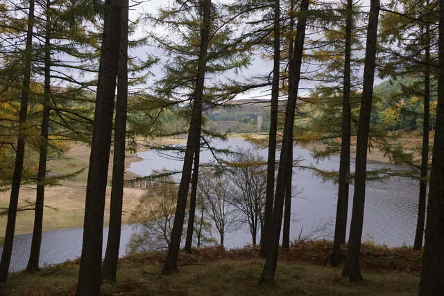
Marebottom Tip Plantation Images
Images are sourced within 2km of 53.428087/-1.7474726 or Grid Reference SK1692. Thanks to Geograph Open Source API. All images are credited.

Marebottom Tip Plantation is located at Grid Ref: SK1692 (Lat: 53.428087, Lng: -1.7474726)
Administrative County: Derbyshire
District: High Peak
Police Authority: Derbyshire
What 3 Words
///lawfully.alcove.trombone. Near Hope Valley, Derbyshire
Related Wikis

River Westend
The River Westend flows through the Dark Peak of the Derbyshire Peak District in England. Its source is at Bleaklow Stones on Bleaklow, from where it...

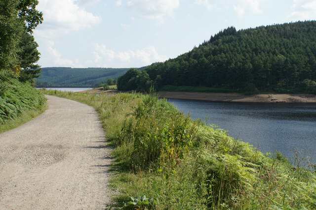
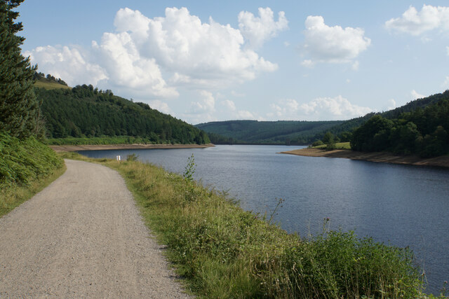
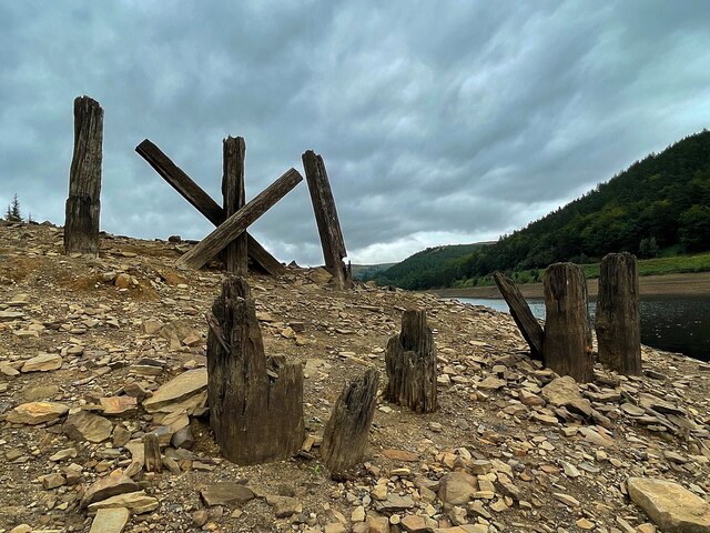
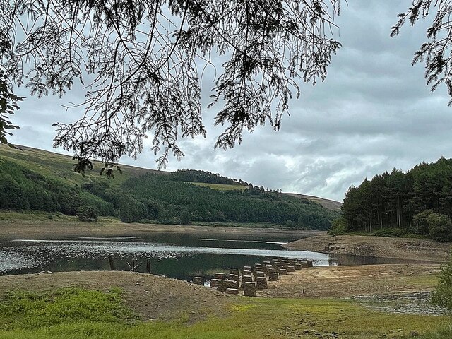
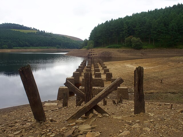
Howden Reservoir
The Howden Reservoir is a Y-shaped reservoir, the uppermost of the three in the Upper Derwent Valley, England. The western half of the reservoir lies in...

Derwent Reservoir (Derbyshire)
Derwent Reservoir is the middle of three reservoirs in the Upper Derwent Valley in the north of Derbyshire, England. It lies approximately 10 mi (16 km...

Howden Edge
Howden Edge (grid reference SK187943) is a peak in the north-east of the Upper Derwent Valley area of the Peak District National Park in England. At 545...

High Stones
High Stones, at 548 metres (1,798 ft), is the highest point within the boundaries of both the City of Sheffield and South Yorkshire, England.High Stones...

Lost Lad
Lost Lad is a hill, 518 metres (1,699 ft) high on the Derwent Edge in the Peak District in the county of Derbyshire in England. It is a subpeak of Back...

Alport Castles
The Alport Castles are a landslip feature in the Peak District National Park in Derbyshire. At over half a mile long, it is thought to be the largest landslide...

Margery Hill
Margery Hill is a 546-metre (1,791 ft) hill on the Howden Moors in South Yorkshire, England. It lies towards the northern boundary of the Peak District...
Nearby Amenities
Located within 500m of 53.428087,-1.7474726Have you been to Marebottom Tip Plantation?
Leave your review of Marebottom Tip Plantation below (or comments, questions and feedback).