Aldermore Spinney

Wood, Forest in Warwickshire North Warwickshire

England

Aldermore Spinney

M6Toll
M6Toll Credit: Alexander P Kapp

Aldermore Spinney is a picturesque woodland located in Warwickshire, England. Situated in the heart of the county, this enchanting forest covers an area of approximately 200 acres. The Spinney is predominantly composed of alder trees, which give it its name, along with a variety of other native tree species such as oak, beech, and birch.

The woodland is known for its dense foliage and rich biodiversity. It provides a habitat for numerous animal species, including deer, foxes, badgers, and a wide range of birdlife. Nature enthusiasts frequent Aldermore Spinney for its tranquil atmosphere and the opportunity to observe wildlife in its natural habitat.

The woodland is crisscrossed by a network of footpaths, allowing visitors to explore its beauty at their leisure. The trails wind through the forest, offering glimpses of small ponds and streams that meander through the landscape. The Spinney is also home to a small lake, which adds to its scenic charm.

Aldermore Spinney is a popular destination for outdoor activities such as walking, jogging, and cycling. It provides a peaceful retreat for individuals seeking solace in nature, away from the hustle and bustle of urban life. Picnic areas are available for those who wish to relax and enjoy the serenity of the surroundings.

Overall, Aldermore Spinney is a cherished natural gem in Warwickshire, offering a beautiful woodland setting where visitors can reconnect with nature and enjoy the tranquility of the forest.

If you have any feedback on the listing, please let us know in the comments section below.

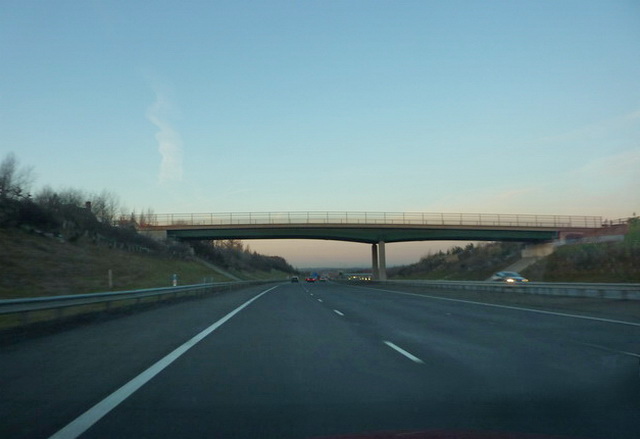
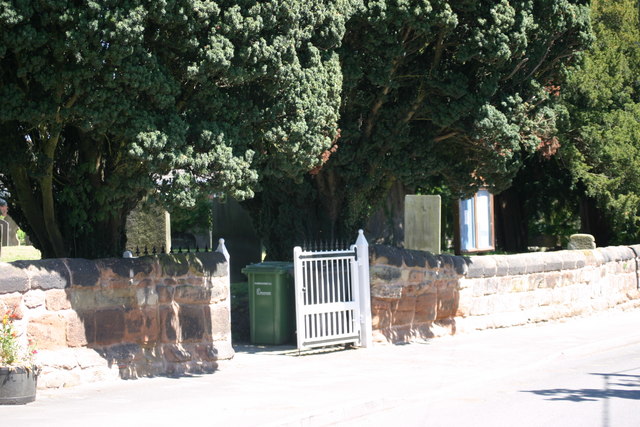
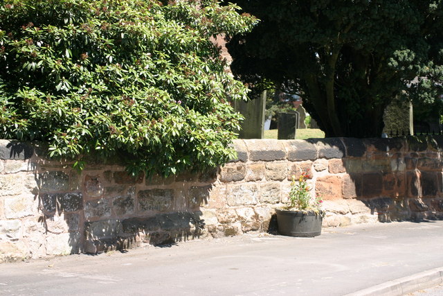
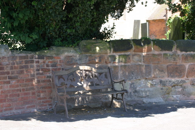
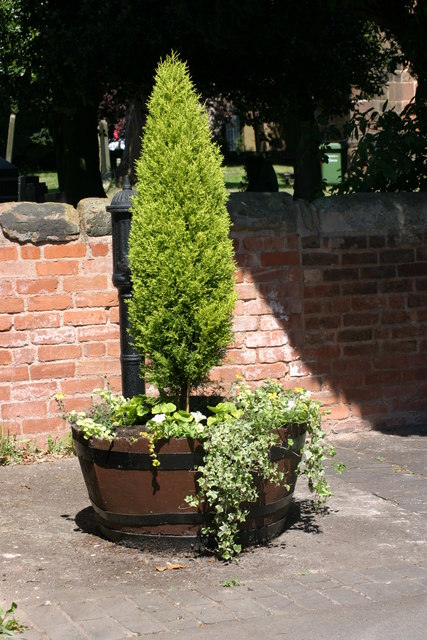
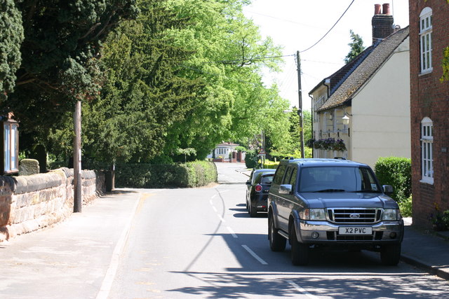
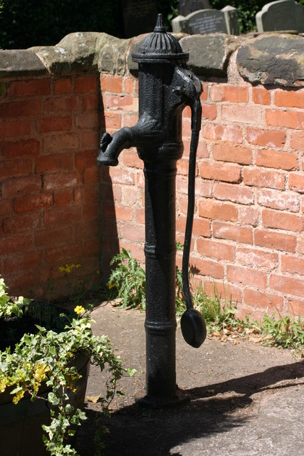
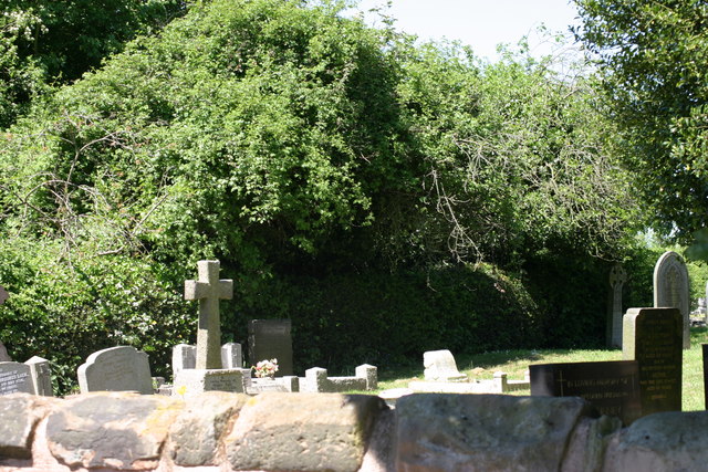
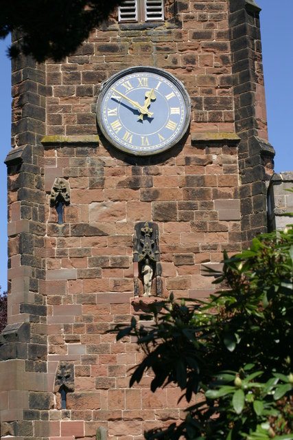
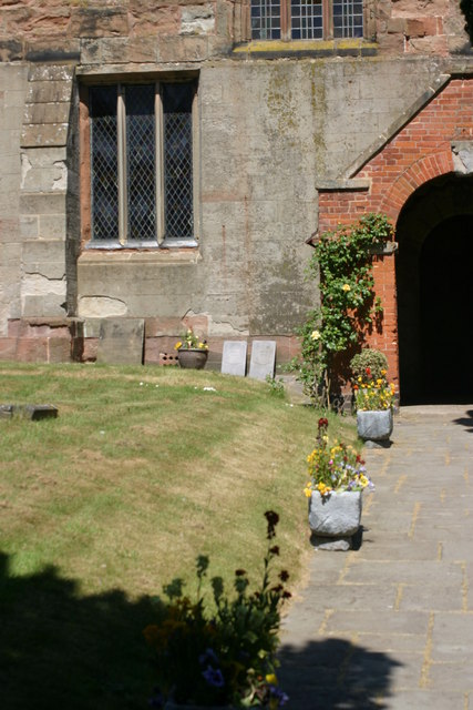
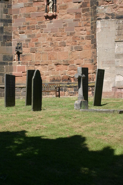
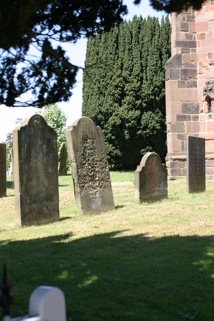
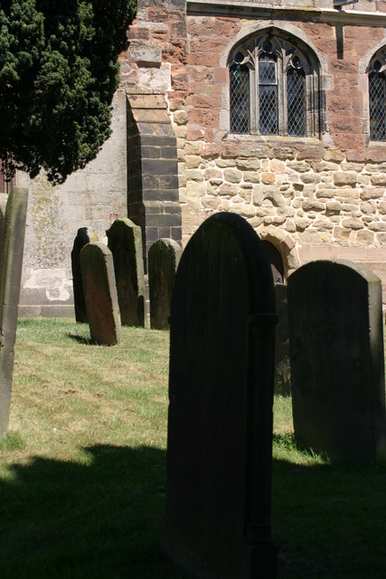
Aldermore Spinney Images

Images are sourced within 2km of 52.575036/-1.7538869 or Grid Reference SP1697. Thanks to Geograph Open Source API. All images are credited.

St John the Baptist, Church, Church Gates  (1) This photograph shows a view of this churches, Church gate.
St John the Baptist, Church, Church Gates (1)
This photograph shows a view of this churches, Church gate.
St John the Baptist, Church, Church Wall This photograph shows a section of St John the Baptists, Church, Church wall. This photograph <a href="https://www.geograph.org.uk/photo/2339184">SP1798 : St John the Baptist, Church, Church Gates  (1)</a> shows a view of the Main Church gates, situated along this length of wall.
St John the Baptist, Church, Church Wall
This photograph shows a section of St John the Baptists, Church, Church wall. This photograph SP1798 : St John the Baptist, Church, Church Gates (1) shows a view of the Main Church gates, situated along this length of wall.
Village Bench This photograph shows a view of a Bench situated outside, the Church wall of St John the Baptist, Church.
Village Bench
This photograph shows a view of a Bench situated outside, the Church wall of St John the Baptist, Church.
Tree and plant display, outside St John the Baptist, Church This tree and plant display is located outside, St John the Baptist Church, note the old black water pump behind the tree.
Tree and plant display, outside St John the Baptist, Church
This tree and plant display is located outside, St John the Baptist Church, note the old black water pump behind the tree.
Church Lane (1) The above photograph shows a view of Church Lane, part of which is located next to, St John the Baptist, Church. This photograph <a href="https://www.geograph.org.uk/photo/2339184">SP1798 : St John the Baptist, Church, Church Gates  (1)</a> shows a view next to this Church.
Church Lane (1)
The above photograph shows a view of Church Lane, part of which is located next to, St John the Baptist, Church. This photograph SP1798 : St John the Baptist, Church, Church Gates (1) shows a view next to this Church.
Original Old Water Pump The above photograph shows a view of an old water pump, which is an original. The above water pump can also be seen partially in this photograph <a href="https://www.geograph.org.uk/photo/2339241">SP1798 : Tree and plant display, outside St John the Baptist, Church</a> behind the tree.
Original Old Water Pump
The above photograph shows a view of an old water pump, which is an original. The above water pump can also be seen partially in this photograph SP1798 : Tree and plant display, outside St John the Baptist, Church behind the tree.
St John the Baptist, Church, Graveyard  (1) The above photograph shows a view of St John the Baptists, Churches Graveyard taken the other side of the Graveyard wall, while standing on the public foot path. This photograph <a href="https://www.geograph.org.uk/photo/2339201">SP1798 : St John the Baptist, Church, Church Wall</a> shows a view of this wall from another angle.
St John the Baptist, Church, Graveyard (1)
The above photograph shows a view of St John the Baptists, Churches Graveyard taken the other side of the Graveyard wall, while standing on the public foot path. This photograph SP1798 : St John the Baptist, Church, Church Wall shows a view of this wall from another angle.
St John the Baptist, Church, Church Tower  (1) This photograph shows the Churches, Church Tower, note the statue in a recess of the tower wall, below the Clock face. This photograph <a href="https://www.geograph.org.uk/photo/2345978">SP1798 : St John the Baptist, Church, Graveyard  (1)</a> shows a view of this Churches Graveyard.
St John the Baptist, Church, Church Tower (1)
This photograph shows the Churches, Church Tower, note the statue in a recess of the tower wall, below the Clock face. This photograph SP1798 : St John the Baptist, Church, Graveyard (1) shows a view of this Churches Graveyard.
St John the Baptist, Church Tower, Statue The above photograph shows a close up view of a Statue that is situated in a recess located in the Church tower wall. This photograph <a href="https://www.geograph.org.uk/photo/2346009">SP1798 : St John the Baptist, Church, Church Tower  (1)</a> shows the statue in more wider context with a fuller view of the Church tower itself.
St John the Baptist, Church Tower, Statue
The above photograph shows a close up view of a Statue that is situated in a recess located in the Church tower wall. This photograph SP1798 : St John the Baptist, Church, Church Tower (1) shows the statue in more wider context with a fuller view of the Church tower itself.
St John the Baptist, Church, Graveyard  (2) This photograph <a href="https://www.geograph.org.uk/photo/2345978">SP1798 : St John the Baptist, Church, Graveyard  (1)</a> shows another view of this Graveyard.
St John the Baptist, Church, Graveyard (2)
This photograph SP1798 : St John the Baptist, Church, Graveyard (1) shows another view of this Graveyard.
St John the Baptist, Church, Main entrance This photograph <a href="https://www.geograph.org.uk/photo/2346009">SP1798 : St John the Baptist, Church, Church Tower  (1)</a> shows another view of this Church.
St John the Baptist, Church, Main entrance
This photograph SP1798 : St John the Baptist, Church, Church Tower (1) shows another view of this Church.
St John the Baptist, Church (1) This photograph <a href="https://www.geograph.org.uk/photo/2345978">SP1798 : St John the Baptist, Church, Graveyard  (1)</a> shows a view of this Churches Graveyard.
St John the Baptist, Church (1)
This photograph SP1798 : St John the Baptist, Church, Graveyard (1) shows a view of this Churches Graveyard.
St John the Baptist, Church, Graveyard  (3) This photograph <a href="https://www.geograph.org.uk/photo/2346077">SP1798 : St John the Baptist, Church, Graveyard  (2)</a> shows another view of this Graveyard.
St John the Baptist, Church, Graveyard (3)
This photograph SP1798 : St John the Baptist, Church, Graveyard (2) shows another view of this Graveyard.
St John the Baptist, Church, Graveyard  (4) This photograph <a href="https://www.geograph.org.uk/photo/2353327">SP1798 : St John the Baptist, Church (1)</a> shows a view of the Church located in this Graveyard.
St John the Baptist, Church, Graveyard (4)
This photograph SP1798 : St John the Baptist, Church (1) shows a view of the Church located in this Graveyard.
St John the Baptist, Church, Graveyard  (5) This photograph <a href="https://www.geograph.org.uk/photo/2353348">SP1798 : St John the Baptist, Church, Graveyard  (3)</a> shows another view of this Graveyard.
St John the Baptist, Church, Graveyard (5)
This photograph SP1798 : St John the Baptist, Church, Graveyard (3) shows another view of this Graveyard.
St John the Baptist, Church, Graveyard  (6) This photograph <a href="https://www.geograph.org.uk/photo/2346009">SP1798 : St John the Baptist, Church, Church Tower  (1)</a> shows a view of the Church next to this Graveyard.
St John the Baptist, Church, Graveyard (6)
This photograph SP1798 : St John the Baptist, Church, Church Tower (1) shows a view of the Church next to this Graveyard.
St John the Baptist, Church Tower  (2) The above photograph shows the Union Flag fluttering in the Wind atop of the Church Tower. This photograph <a href="https://www.geograph.org.uk/photo/2346009">SP1798 : St John the Baptist, Church, Church Tower  (1)</a> shows another view of this tower.
St John the Baptist, Church Tower (2)
The above photograph shows the Union Flag fluttering in the Wind atop of the Church Tower. This photograph SP1798 : St John the Baptist, Church, Church Tower (1) shows another view of this tower.
Show me another place!

Aldermore Spinney is located at Grid Ref: SP1697 (Lat: 52.575036, Lng: -1.7538869)

Administrative County: Warwickshire

District: North Warwickshire

Police Authority: Warwickshire

What 3 Words

///decreased.roof.loads. Near Sutton Coldfield, West Midlands

Nearby Locations

Aldermore Spinney

Related Wikis

Middleton, Warwickshire

Middleton is a small village in the North Warwickshire district of the county of Warwickshire, England. The population of the civil parish at the 2011...

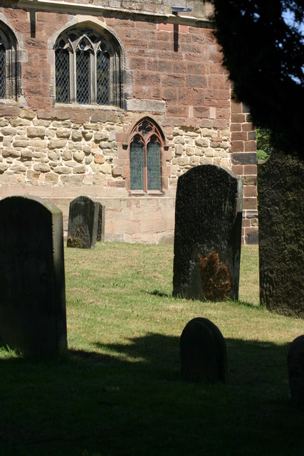
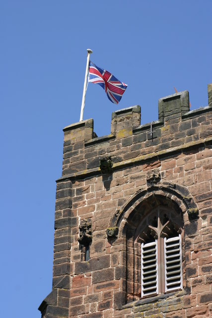
St John the Baptist's Church, Middleton

St John the Baptist is an Anglican parish church in Middleton, Warwickshire. It is a Grade II* listed building. The 17th-century ornithologist Francis...

Bassetts Pole

Bassetts Pole is an area at the Staffordshire–West Midlands–Warwickshire tripoint. Population details can be found under Middleton, Warwickshire. It is...

Moxhull Hall

Moxhull Hall is a hotel, wedding and conference venue in Wishaw, near Sutton Coldfield, in Warwickshire, England. The manor of Moxhull was owned by the...

Allen End

Allen End is a village in Warwickshire, England. Population details can be found under Sutton Coldfield. == External links == Media related to Allen End...

Bodymoor Heath Training Ground

Bodymoor Heath Training Ground is Aston Villa Football Club's training ground, located at Bodymoor Heath in the North Warwickshire district of Warwickshire...

Langley Hall, West Midlands

Langley Hall was a manor house just off Fox Hollies Road, one mile from the centre of Walmley in Sutton Coldfield in the historic county of Warwickshire...

1993 Ryder Cup

The 30th Ryder Cup Matches were held in England at The Belfry in Wishaw, Warwickshire, near Sutton Coldfield. The United States team won a second consecutive...

Nearby Amenities

Located within 500m of 52.575036,-1.7538869
Stoke End
Place: hamlet
Lat/Long: 52.5714542/-1.7517071
The data included in this document is from www.openstreetmap.org. The data is made available under ODbL.

Have you been to Aldermore Spinney?

Leave your review of Aldermore Spinney below (or comments, questions and feedback).