Dalchreichart

Settlement in Inverness-shire

Scotland

Dalchreichart

A887 near Achlain Farm
A887 near Achlain Farm Credit: Steven Brown

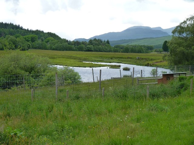
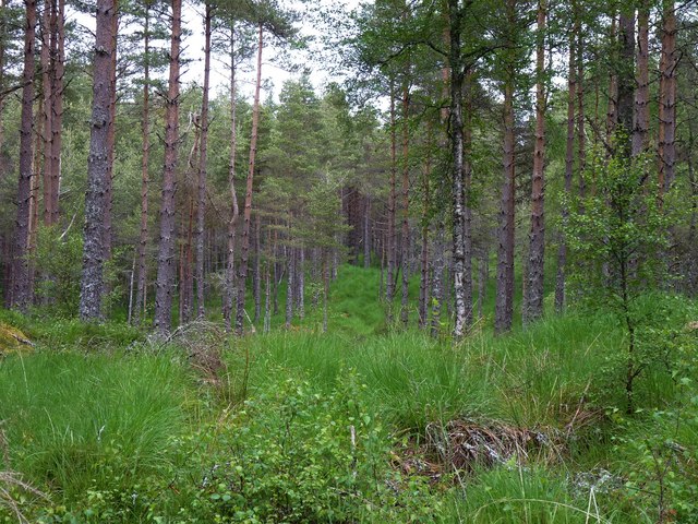
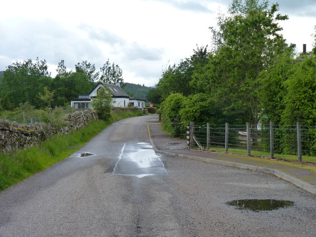
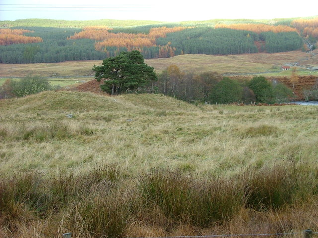
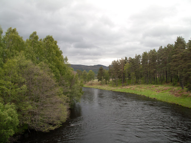
Dalchreichart is a small village situated in the county of Inverness-shire, Scotland. Located approximately 15 miles southeast of the town of Inverness, it lies on the eastern banks of the River Farrar. The village is nestled within the breathtaking Scottish Highlands, surrounded by lush green hills and picturesque landscapes.

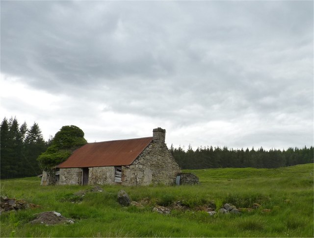
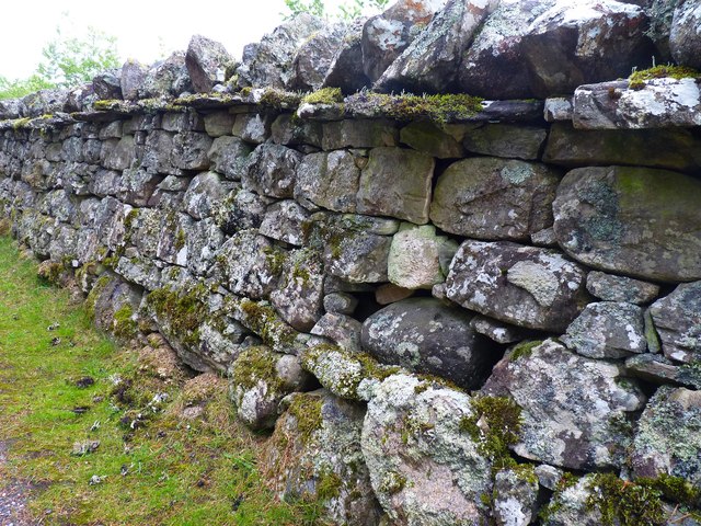
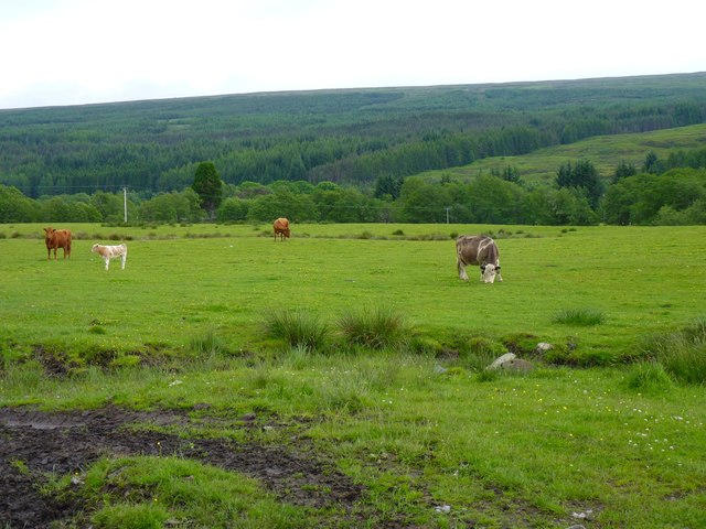
With a population of just over 100 people, Dalchreichart offers a tranquil and close-knit community atmosphere. The village primarily consists of traditional stone houses, giving it a charming and rustic appeal. The local economy is primarily based on agriculture and forestry, with many residents engaged in these industries.

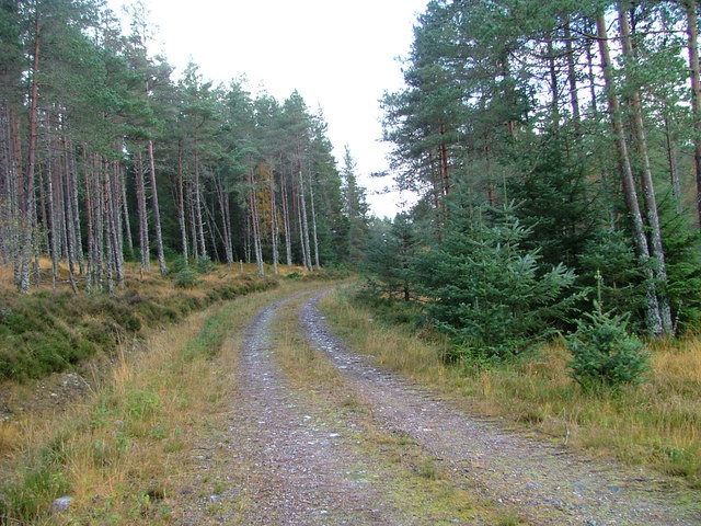
Dalchreichart is known for its stunning natural beauty, attracting visitors who seek to explore the scenic landscapes and engage in outdoor activities. The River Farrar provides opportunities for fishing, with salmon and trout being popular catches. The surrounding hills and forests offer ample opportunities for hiking and wildlife observation, with red deer and various bird species being commonly sighted.

Despite its small size, the village boasts a strong sense of community spirit. It has a primary school, serving the educational needs of the local children, and a village hall that serves as a hub for social gatherings and events. Additionally, there is a small shop that provides basic amenities for both residents and visitors.

Overall, Dalchreichart is a charming Scottish village that offers a peaceful and idyllic setting for those seeking a retreat in the beautiful Scottish Highlands.

If you have any feedback on the listing, please let us know in the comments section below.

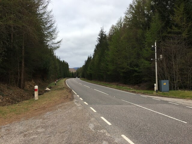
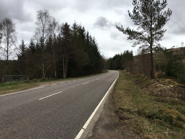
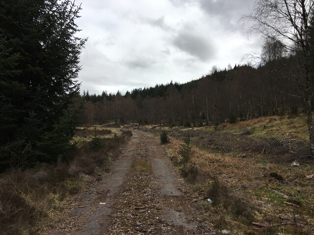
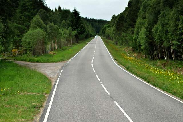
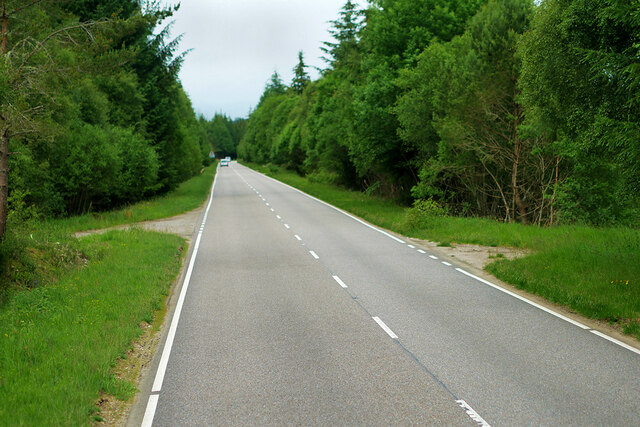
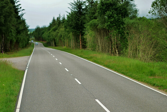
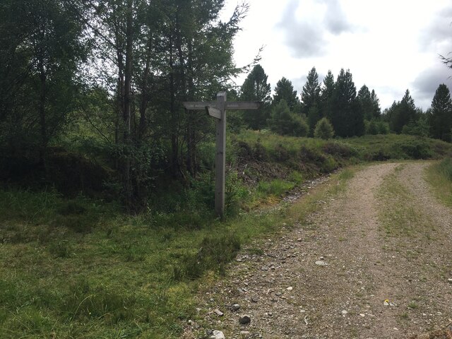
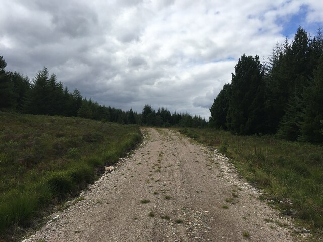
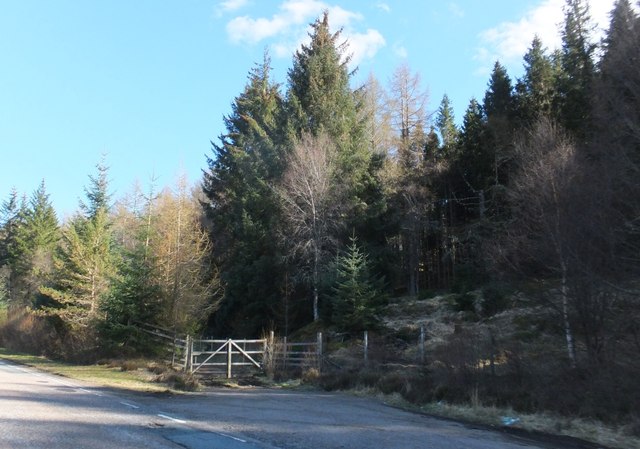
Dalchreichart Images

Images are sourced within 2km of 57.173151/-4.8292 or Grid Reference NH2912. Thanks to Geograph Open Source API. All images are credited.

A887 near Achlain Farm
A887 in Glen Moriston
Old alignment of the A887 in Glen Moriston
A887 Westbound in Glen Moriston The A887 is essentially a link road through Glen Moriston from the A82 to the A87 for traffic travelling between Inverness and Kyle of Lochalsh and the Isle of Skye. Although a trunk route, traffic volumes are relatively low.

The A887 runs for 14½ miles from a turning off the A82 at the small village of Invermoriston near the shore of Loch Ness to the A87 junction at Bunloyne. Traffic for Skye continues along the A87.
A887 Westbound in Glen Moriston
The A887 is essentially a link road through Glen Moriston from the A82 to the A87 for traffic travelling between Inverness and Kyle of Lochalsh and the Isle of Skye. Although a trunk route, traffic volumes are relatively low. The A887 runs for 14½ miles from a turning off the A82 at the small village of Invermoriston near the shore of Loch Ness to the A87 junction at Bunloyne. Traffic for Skye continues along the A87.
Glen Moriston, A887 The A887 is essentially a link road through Glen Moriston from the A82 to the A87 for traffic travelling between Inverness and Kyle of Lochalsh and the Isle of Skye. Although a trunk route, traffic volumes are relatively low.

The A887 runs for 14½ miles from a turning off the A82 at the small village of Invermoriston near the shore of Loch Ness to the A87 junction at Bunloyne. Traffic for Skye continues along the A87.
Glen Moriston, A887
The A887 is essentially a link road through Glen Moriston from the A82 to the A87 for traffic travelling between Inverness and Kyle of Lochalsh and the Isle of Skye. Although a trunk route, traffic volumes are relatively low. The A887 runs for 14½ miles from a turning off the A82 at the small village of Invermoriston near the shore of Loch Ness to the A87 junction at Bunloyne. Traffic for Skye continues along the A87.
A887 Westbound The A887 is essentially a link road through Glen Moriston from the A82 to the A87 for traffic travelling between Inverness and Kyle of Lochalsh and the Isle of Skye. Although a trunk route, traffic volumes are relatively low.

The A887 runs for 14½ miles from a turning off the A82 at the small village of Invermoriston near the shore of Loch Ness to the A87 junction at Bunloyne. Traffic for Skye continues along the A87.
A887 Westbound
The A887 is essentially a link road through Glen Moriston from the A82 to the A87 for traffic travelling between Inverness and Kyle of Lochalsh and the Isle of Skye. Although a trunk route, traffic volumes are relatively low. The A887 runs for 14½ miles from a turning off the A82 at the small village of Invermoriston near the shore of Loch Ness to the A87 junction at Bunloyne. Traffic for Skye continues along the A87.
Track junction near Achlain
Forestry road near Dalchreichart
Pond in marshland Near the north bank of the river Moriston.
Pond in marshland
Near the north bank of the river Moriston.
Coniferous plantation In the woodland on Cnoc a' Bhuachaille.
Coniferous plantation
In the woodland on Cnoc a' Bhuachaille.
Abandoned cottage Near Balintombuie.
Abandoned cottage
Near Balintombuie.
Solid dry-stane dyke Ornamentally constructed wall.
Solid dry-stane dyke
Ornamentally constructed wall.
Cattle in a boggy field Near Balnacarn.
Cattle in a boggy field
Near Balnacarn.
The road through Dalchreichart Village road in Glen Moriston.
The road through Dalchreichart
Village road in Glen Moriston.
A small stand of Scots Pine West of Achlain.
A small stand of Scots Pine
West of Achlain.
Track into Glen Moriston Forest
Gate into forestry on A887
River Moriston The River Moriston drains the valley of the same name; it's seen here looking downstream from Torgyle Bridge which carries the A887.
River Moriston
The River Moriston drains the valley of the same name; it's seen here looking downstream from Torgyle Bridge which carries the A887.
Show me another place!

Dalchreichart is located at Grid Ref: NH2912 (Lat: 57.173151, Lng: -4.8292)

Unitary Authority: Highland

Police Authority: Highlands and Islands

What 3 Words

///smooth.forkful.annoys. Near Cannich, Highland

Related Wikis

Dalchreichart

Dalchreichart (Scottish Gaelic: Dul Chreachaird) is a small hamlet in Glen Moriston, Inverness-shire, in the Highland council area of Scotland. It lies...

Glenmoriston

Glenmoriston or Glen Moriston (Scottish Gaelic: Gleann Moireasdan) is a river glen in the Scottish Highlands, that runs from Loch Ness, at the village...

Achlain

Achlain is a house in Glenmoriston in the Highland council area of Scotland. It is about 15 km west of Invermoriston, next to the A887 road and the River...

Tomchrasky

Tomchrasky is a village in Glen Moriston, in Inverness-shire, Scottish Highlands and is in the Scottish council area of Highland. The village lies on the...

Nearby Amenities

Located within 500m of 57.173151,-4.8292
Post Box
Operator: Royal Mail
Post Box Mounting: pier
Post Box Type: lamp
Ref: IV63 241
Lat/Long: 57.1731407/-4.8285089
Bus Stop
Dalchreichart
Naptan AtcoCode: 6700713856
Naptan Bearing: E
Naptan CommonName: Dalchreichart
Naptan Indicator: o/s Old School
Naptan Landmark: Old School
Naptan NaptanCode: 45328973
Naptan Street: Tomcrasky Road
Naptan Verified: no
Source: naptan_import
Lat/Long: 57.1729049/-4.8319532
Dalchreichart
Name En: Dalchreichart
Name Gd: Dal Chreicheard
Place: hamlet
Wikidata: Q2431518
Lat/Long: 57.1738751/-4.8227068
Power: pole
Lat/Long: 57.172929/-4.8360537
Power: pole
Lat/Long: 57.1731287/-4.8347317
Power: pole
Lat/Long: 57.1732918/-4.8336942
Power: pole
Lat/Long: 57.1735515/-4.8321282
Power: pole
Lat/Long: 57.1735207/-4.8313946
Power: pole
Lat/Long: 57.1734915/-4.8308556
Power: pole
Lat/Long: 57.17361/-4.8301983
Power: pole
Lat/Long: 57.1736911/-4.8290096
Power: pole
Lat/Long: 57.1737431/-4.8276322
Power: pole
Lat/Long: 57.1738397/-4.825894
Power: pole
Lat/Long: 57.1738681/-4.8247906
Power: pole
Lat/Long: 57.1739281/-4.8234716
Power: pole
Lat/Long: 57.1739914/-4.8220044
The data included in this document is from www.openstreetmap.org. The data is made available under ODbL.

Have you been to Dalchreichart?

Leave your review of Dalchreichart below (or comments, questions and feedback).