Bradley Colliery Wood
Wood, Forest in Yorkshire
England
Bradley Colliery Wood
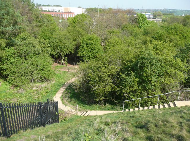
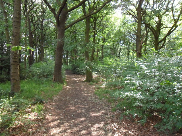
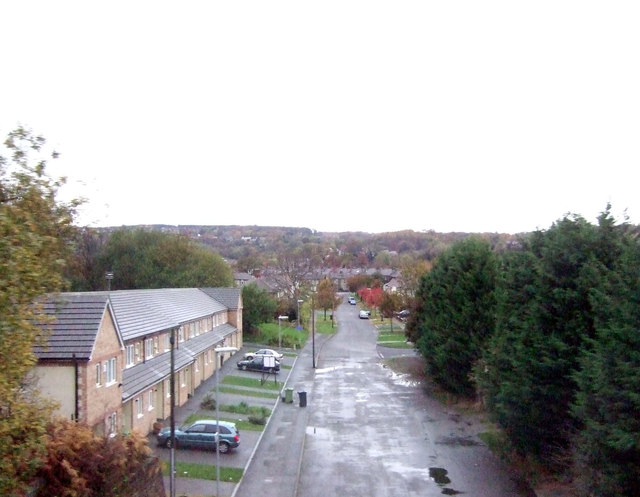
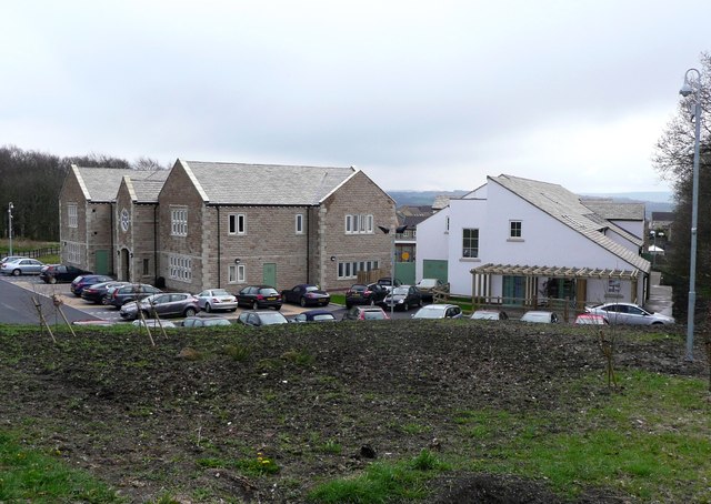
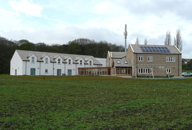
Bradley Colliery Wood is a picturesque woodland located in the county of Yorkshire, England. Covering an area of approximately 80 acres, the wood is situated near the village of Bradley and is a popular destination for nature enthusiasts and hikers alike.
The wood is characterized by its diverse range of tree species, including oak, birch, beech, and pine, which create a rich and vibrant canopy overhead. The forest floor is adorned with an array of wildflowers, such as bluebells and primroses, adding to the wood's natural beauty.
Walking trails wind their way through the wood, offering visitors the opportunity to explore its serene surroundings. These trails are well-maintained and provide access to various points of interest, including a small lake and a babbling brook that flows through the heart of the wood.
Wildlife thrives within Bradley Colliery Wood, with numerous species calling it home. Bird watchers may catch a glimpse of woodpeckers, owls, and various songbirds, while small mammals like squirrels and rabbits scurry about. There have also been occasional sightings of deer, adding to the wood's allure.
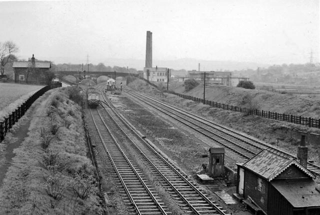
The history of Bradley Colliery Wood is linked to its past as a colliery site. The wood has since reclaimed the land, with remnants of the mining industry still visible, such as old brick structures and disused mine shafts. This adds a sense of intrigue and historical significance to the wood, making it an interesting destination for those interested in the region's industrial heritage.
Overall, Bradley Colliery Wood offers a tranquil escape from the hustle and bustle of everyday life, providing a haven of natural beauty and a glimpse into Yorkshire's past.
If you have any feedback on the listing, please let us know in the comments section below.
Bradley Colliery Wood Images
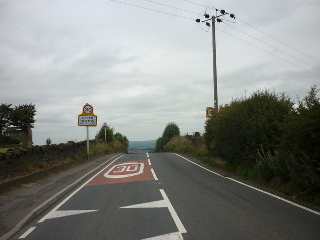
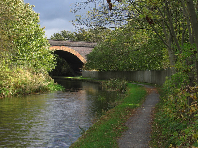
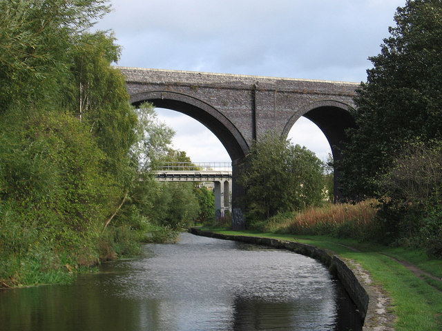
Images are sourced within 2km of 53.675302/-1.7512206 or Grid Reference SE1619. Thanks to Geograph Open Source API. All images are credited.


Bradley Colliery Wood is located at Grid Ref: SE1619 (Lat: 53.675302, Lng: -1.7512206)
Division: West Riding
Unitary Authority: Kirklees
Police Authority: West Yorkshire
What 3 Words
///author.riches.skirt. Near Huddersfield, West Yorkshire
Nearby Locations
Related Wikis

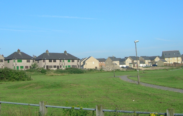
Bradley, Huddersfield
Bradley is a district of Huddersfield, West Yorkshire, England, 3 miles north-east of the town centre. It is generally just off the A62 Leeds Road and...
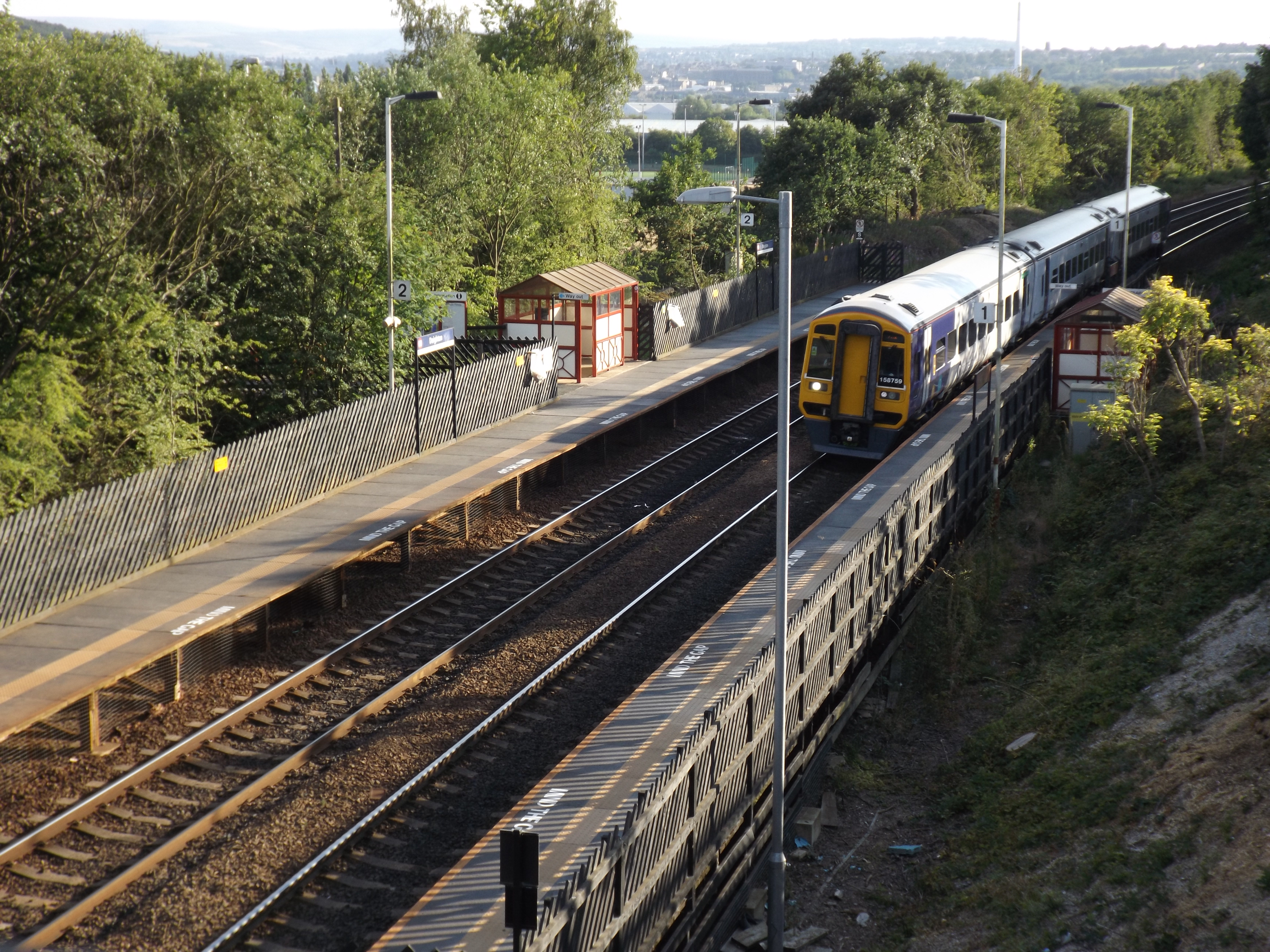
Bradley railway station
Bradley railway station served the district of Bradley, West Yorkshire, England until closure in 1950. == History == Bradley station was opened in 1847...
Deighton railway station
Deighton railway station serves the Deighton area of Huddersfield, West Yorkshire, England. Deighton station is the first station 2 miles (3.2 km) northeast...
Deighton, Huddersfield
Deighton pronounced as Dee-ton is a district of Huddersfield, West Yorkshire, England. It is situated 2 miles (3.2 km) north east of the town centre and...

Colne Bridge
Colne Bridge (English: ) is an historic 18th-century bridge near Huddersfield, West Yorkshire, England. A Grade II listed stone-built arch bridge, it...

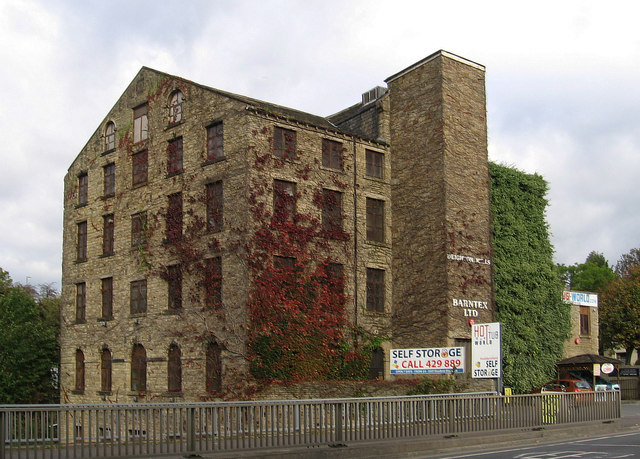
Colne Bridge Mill
Colne Bridge Mill (English: ) was a factory, built in 1775, in the village of Colne Bridge near Bradley and Kirkheaton, Huddersfield, West Yorkshire, England...

Sheepridge, Huddersfield
Sheepridge is a district of Huddersfield, West Yorkshire, England. It is 1.5 miles (2.4 km) to the north-east of the town centre.Sheepridge is situated...
Brackenhall
Brackenhall is a district of Huddersfield, West Yorkshire, England located 2 miles (3 km) north of Huddersfield town centre between Fixby and Sheepridge...
Nearby Amenities
Located within 500m of 53.675302,-1.7512206Have you been to Bradley Colliery Wood?
Leave your review of Bradley Colliery Wood below (or comments, questions and feedback).