Hall Wood
Wood, Forest in Yorkshire
England
Hall Wood
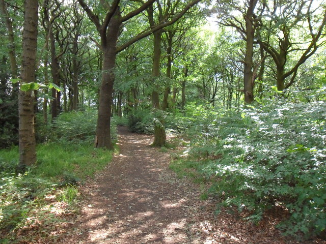
Hall Wood is a picturesque woodland located in the county of Yorkshire, England. Situated near the village of Wood, this forested area spans an estimated 150 acres, making it a significant natural attraction in the region. The wood is characterized by its dense canopy of trees, including oak, beech, and birch, which create a tranquil and serene atmosphere for visitors.
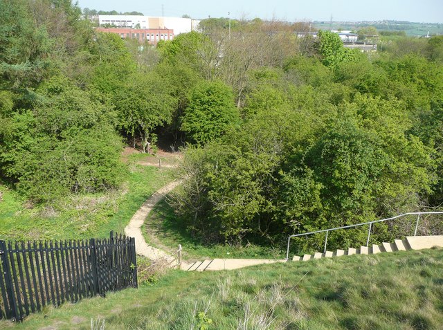
The woodland features a network of well-maintained footpaths and trails, allowing visitors to explore its natural beauty at their own pace. These paths meander through the trees, offering glimpses of wildlife such as deer, birds, and squirrels along the way. The forest floor is adorned with a vibrant carpet of wildflowers during the spring and summer months, further enhancing the scenic appeal of the wood.
Hall Wood is a popular destination for nature enthusiasts, hikers, and families looking to enjoy the great outdoors. It offers ample opportunities for activities such as walking, jogging, and birdwatching. The forest is also a favored spot for picnics, with several designated areas equipped with picnic tables and benches.
In addition to its natural beauty, Hall Wood holds historical significance as well. It is believed to have been part of the hunting grounds for the nearby Wood Hall, a historic manor house dating back to the 17th century. The wood's proximity to the hall adds to its charm and allure, attracting history enthusiasts and architecture admirers.
Overall, Hall Wood in Yorkshire stands as a captivating woodland, offering a tranquil escape from the hustle and bustle of daily life. Its diverse flora and fauna, coupled with its rich history, make it an enchanting destination for nature lovers and history buffs alike.
If you have any feedback on the listing, please let us know in the comments section below.
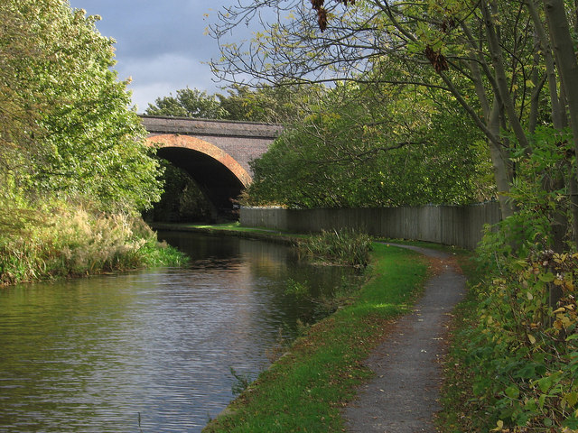
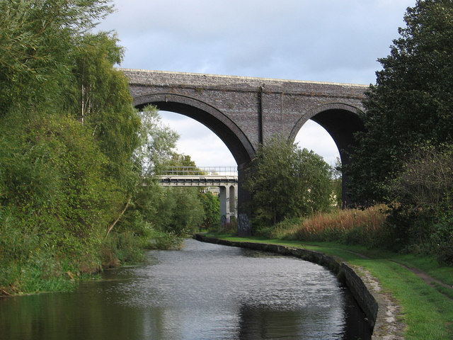
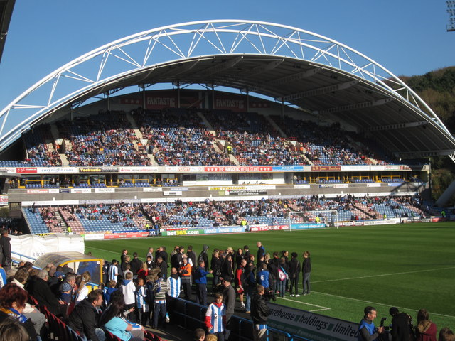
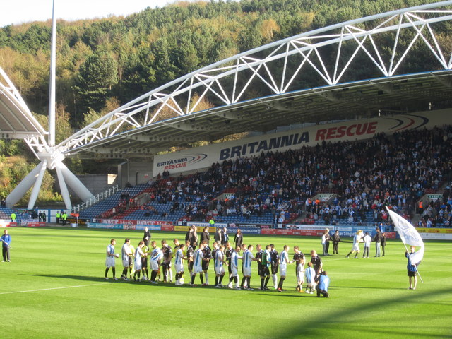
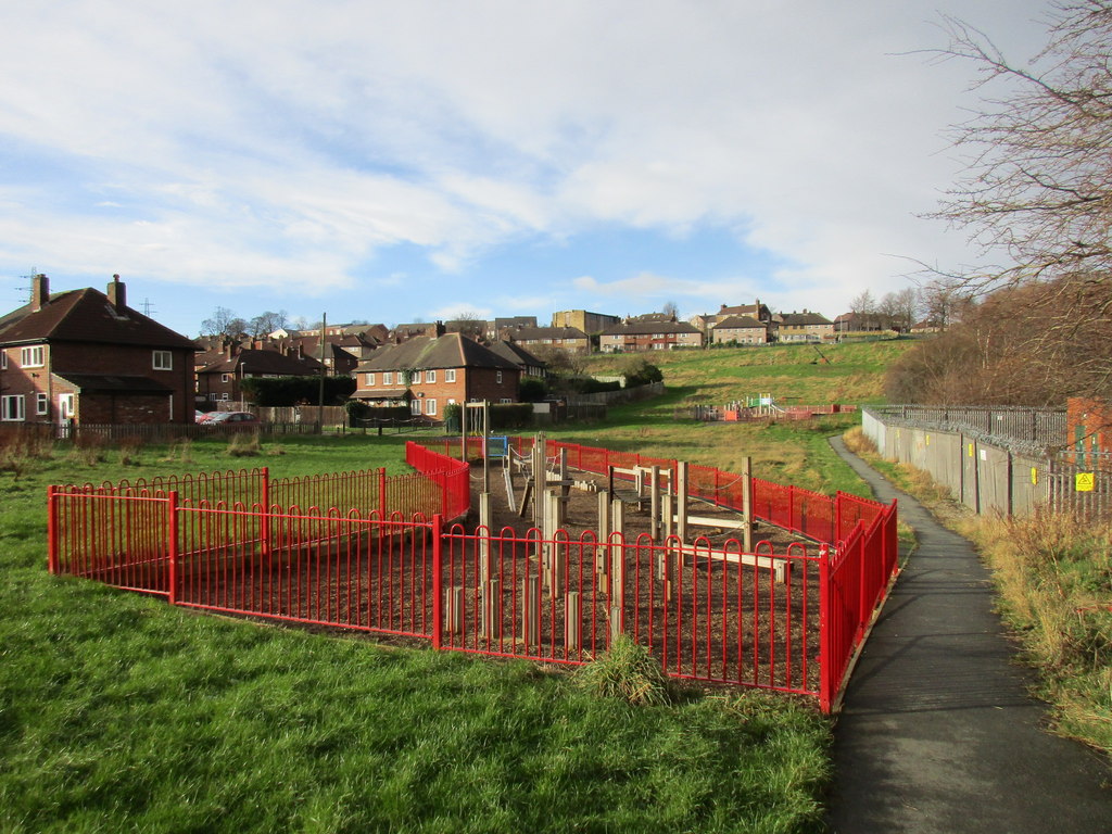
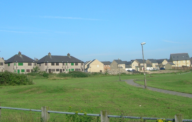
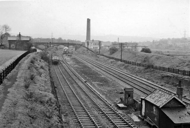
Hall Wood Images
Images are sourced within 2km of 53.667337/-1.7549301 or Grid Reference SE1619. Thanks to Geograph Open Source API. All images are credited.


Hall Wood is located at Grid Ref: SE1619 (Lat: 53.667337, Lng: -1.7549301)
Division: West Riding
Unitary Authority: Kirklees
Police Authority: West Yorkshire
What 3 Words
///slimy.clips.port. Near Huddersfield, West Yorkshire
Nearby Locations
Related Wikis
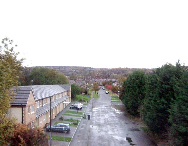
Deighton, Huddersfield
Deighton pronounced as Dee-ton is a district of Huddersfield, West Yorkshire, England. It is situated 2 miles (3.2 km) north east of the town centre and...
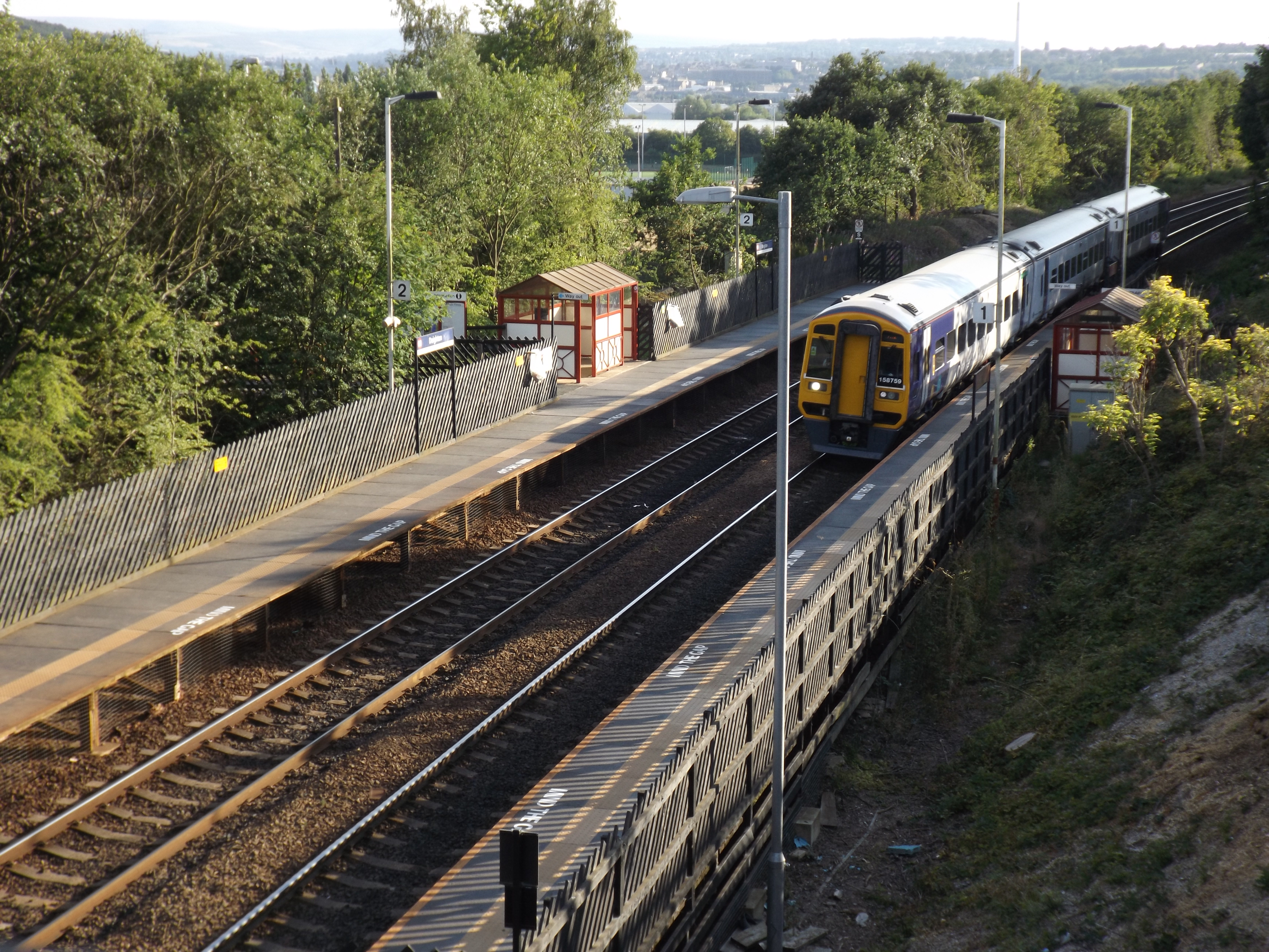
Deighton railway station
Deighton railway station serves the Deighton area of Huddersfield, West Yorkshire, England. Deighton station is the first station 2 miles (3.2 km) northeast...

Sheepridge, Huddersfield
Sheepridge is a district of Huddersfield, West Yorkshire, England. It is 1.5 miles (2.4 km) to the north-east of the town centre.Sheepridge is situated...

North Huddersfield Trust School
North Huddersfield Trust School (formerly Fartown High School) is a coeducational secondary school located in the Fartown area of Huddersfield, West Yorkshire...
Rawthorpe
Rawthorpe is a district of Huddersfield, West Yorkshire, England. It is situated at the top of Kilner Bank. A hill just to the east of Huddersfield town...
Brackenhall
Brackenhall is a district of Huddersfield, West Yorkshire, England located 2 miles (3 km) north of Huddersfield town centre between Fixby and Sheepridge...
Bradley railway station
Bradley railway station served the district of Bradley, West Yorkshire, England until closure in 1950. == History == Bradley station was opened in 1847...

Leeds Road
Leeds Road was a football stadium in Huddersfield, England. It operated from its construction in 1908 until the Kirklees Stadium was opened nearby for...
Nearby Amenities
Located within 500m of 53.667337,-1.7549301Have you been to Hall Wood?
Leave your review of Hall Wood below (or comments, questions and feedback).