Breary Bank Wood

Wood, Forest in Yorkshire Harrogate

England

Breary Bank Wood

Leighton Reservoir Looking westwards from the edge of the Druid's Wood.
Leighton Reservoir Credit: Peter Crump

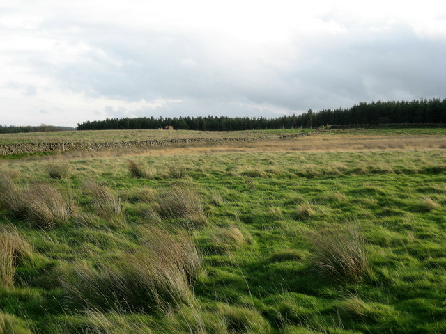
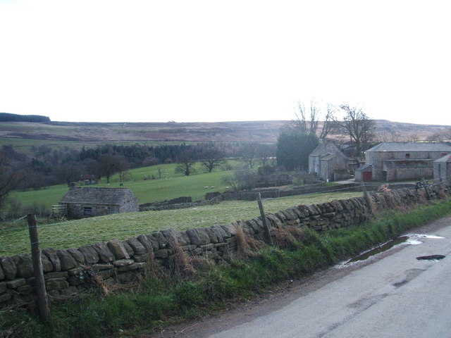
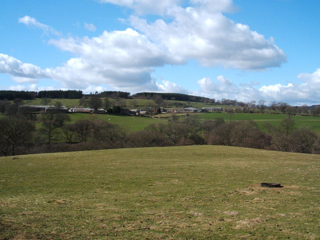
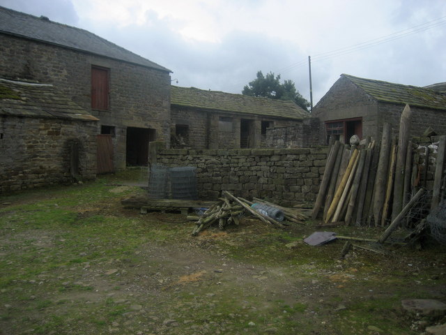
Breary Bank Wood is a charming woodland located in Yorkshire, England. Situated near the market town of Otley, this picturesque forest offers visitors a tranquil escape from the hustle and bustle of everyday life. Covering an area of approximately 100 acres, the wood is characterized by its diverse range of trees, including oak, beech, birch, and sycamore.

As visitors enter Breary Bank Wood, they are greeted by a well-maintained network of paths and trails that wind their way through the forest. These pathways provide easy access for walkers and hikers of all abilities, making it a popular destination for nature enthusiasts and families alike.

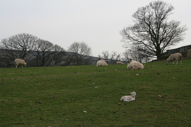
Throughout the wood, visitors can expect to encounter a rich variety of wildlife. From squirrels and deer to a plethora of bird species, Breary Bank Wood is teeming with life. Birdwatchers will delight in the opportunity to spot species such as woodpeckers, owls, and warblers.

Breary Bank Wood is also known for its stunning displays of bluebells in the springtime. The forest floor is blanketed in a vibrant sea of blue, creating a truly magical atmosphere. This natural spectacle attracts photographers and nature lovers from far and wide.

In addition to its natural beauty, Breary Bank Wood offers several amenities for visitors. There are picnic areas and benches scattered throughout the forest, providing the perfect spot for a leisurely lunch or a moment of relaxation. Interpretive signs and information boards are also present, sharing interesting facts about the woodland's flora and fauna.

Overall, Breary Bank Wood is a delightful destination for those seeking a peaceful retreat in the heart of Yorkshire's countryside. With its scenic trails, diverse wildlife, and seasonal displays of bluebells, this woodland is a true gem waiting to be explored.

If you have any feedback on the listing, please let us know in the comments section below.

Breary Bank Wood Images

Images are sourced within 2km of 54.220503/-1.7577275 or Grid Reference SE1580. Thanks to Geograph Open Source API. All images are credited.

Leighton Reservoir Looking westwards from the edge of the Druid's Wood.
Leighton Reservoir
Looking westwards from the edge of the Druid's Wood.
Looking southwest towards Leighton Reservoir.
Leighton Reservoir - Early Autumn Taken earlier in the year to the other photograph, but from the same vantage point!
Leighton Reservoir - Early Autumn
Taken earlier in the year to the other photograph, but from the same vantage point!
Tower Hill Remote farm near Gollinglith
Tower Hill
Remote farm near Gollinglith
Looking over to Ox Close Plantation Looking south over rough pasture to the plantation
Looking over to Ox Close Plantation
Looking south over rough pasture to the plantation
Track near Towler Hill This track has wended its way off Masham Moor, over Gollinglith and Hambleton Litch to finally reach this point, just before it meets the lane near the Leeds Pals Memorial
Track near Towler Hill
This track has wended its way off Masham Moor, over Gollinglith and Hambleton Litch to finally reach this point, just before it meets the lane near the Leeds Pals Memorial
Western limb of Leighton Reservoir Taken from the bridge crossing the reservoir.
Western limb of Leighton Reservoir
Taken from the bridge crossing the reservoir.
Leighton Reservoir Looking across the reservoir towards Clints Hill where the old quarries used during the construction of Roundhill and Leighton reservoirs can be seen. A faint green line which can be seen running horizontally across the fields shows where the narrow gauge railway once ran. This line ran from near Masham Station <a href="https://www.geograph.org.uk/gridref/SE233814">SE233814</a> to the construction site and was used to bring in materials.
Leighton Reservoir
Looking across the reservoir towards Clints Hill where the old quarries used during the construction of Roundhill and Leighton reservoirs can be seen. A faint green line which can be seen running horizontally across the fields shows where the narrow gauge railway once ran. This line ran from near Masham Station SE233814 to the construction site and was used to bring in materials.
Leighton Hall Farm
Leighton Hall Farm
Bridge crossing Pott Beck On route of Ripon Rowel Walk
Bridge crossing Pott Beck
On route of Ripon Rowel Walk
Leighton Hall Farm and Leighton Grange
Approaching Broadmires Wood Path descending into the Burn Valley, with the woods to the right.
Approaching Broadmires Wood
Path descending into the Burn Valley, with the woods to the right.
Descending to Potts Beck Descending to cross the beck, before the path rises towards the hamlet of Leighton.
Descending to Potts Beck
Descending to cross the beck, before the path rises towards the hamlet of Leighton.
Leighton Hall Farm Showing the farmyard and ancillary buildings.
Leighton Hall Farm
Showing the farmyard and ancillary buildings.
Dam wall at Leighton Reservoir
Bridge, Leighton Reservoir
Leighton Reservoir
Leighton Reservoir
Dozing Lamb, Leighton Hall Farm This lamb was dozing with its eyes closed in the hazy afternoon sun. We managed to pass by without disturbing it.
Dozing Lamb, Leighton Hall Farm
This lamb was dozing with its eyes closed in the hazy afternoon sun. We managed to pass by without disturbing it.
Show me another place!

Breary Bank Wood is located at Grid Ref: SE1580 (Lat: 54.220503, Lng: -1.7577275)

Division: North Riding

Administrative County: North Yorkshire

District: Harrogate

Police Authority: North Yorkshire

What 3 Words

///blogs.masking.speeding. Near Masham, North Yorkshire

Related Wikis

Gollinglith Foot

Gollinglith Foot (GOWN-li FOOT), historically also spelt Gownley Foot, is a hamlet in the civil parish of Healey in the Harrogate district of North Yorkshire...

Leighton, North Yorkshire

Leighton is a hamlet in the civil parish of Healey in the Harrogate district of North Yorkshire, England. It is near Leighton Reservoir that provides for...
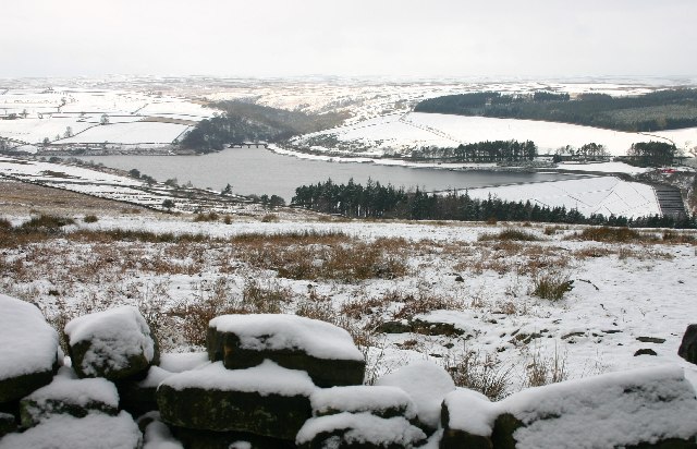
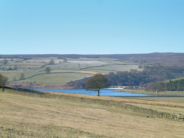
Leighton Reservoir

Leighton Reservoir is a reservoir which drains via the River Burn to the River Ure in North Yorkshire, England. It neighbours Roundhill Reservoir and is...

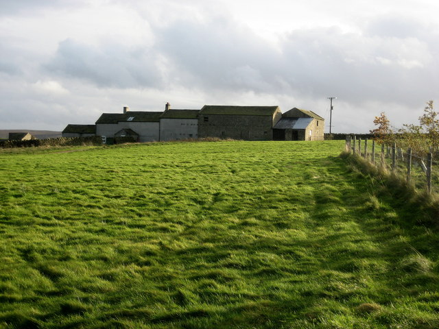
Healey, North Yorkshire

Healey is a small village and civil parish in the Harrogate district of North Yorkshire, England. It is situated in the valley of the River Burn, to the...

Colsterdale

Colsterdale is the valley of the River Burn, a tributary of the River Ure, in the Yorkshire Dales in North Yorkshire, England. It gives its name to a hamlet...

Colsterdale Light Railway

The Colsterdale Light Railway (CLR) was a narrow-gauge railway line in Colsterdale, North Yorkshire, England. It was built between 1903 and 1905 to allow...

Ellingstring

Ellingstring is a village and civil parish in Wensleydale in North Yorkshire, England, about 5 miles (8 km) south-east of Leyburn, and 3.5 miles (5.6 km...

Roundhill Reservoir

Roundhill Reservoir is situated near Leighton Reservoir in North Yorkshire, England. It was constructed by Harrogate Corporation early in the 20th century...

Nearby Amenities

Located within 500m of 54.220503,-1.7577275
Building: yes
Lat/Long: 54.2215151/-1.7565888
Building: yes
Lat/Long: 54.2197999/-1.7600857
Building: yes
Lat/Long: 54.2211109/-1.7599999
Breary Banks
Place: hamlet
Lat/Long: 54.2174452/-1.7548329
Power: pole
Lat/Long: 54.2229077/-1.7632463
Power: pole
Lat/Long: 54.2226644/-1.7619814
Power: pole
Lat/Long: 54.2224534/-1.7609311
Power: pole
Lat/Long: 54.2222139/-1.7596565
Power: pole
Lat/Long: 54.2219477/-1.7583233
Power: pole
Lat/Long: 54.2211378/-1.7564731
Power: pole
Lat/Long: 54.2205713/-1.755374
Power: pole
Lat/Long: 54.2202291/-1.7546814
Power: pole
Lat/Long: 54.2201378/-1.7530296
Power: pole
Lat/Long: 54.2200542/-1.751937
Power: pole
Lat/Long: 54.2199553/-1.7503925
Power: pole
Lat/Long: 54.2208945/-1.7653924
Power: pole
Lat/Long: 54.2216454/-1.7643064
Power: pole
Lat/Long: 54.2224686/-1.7630902
Power: pole
Lat/Long: 54.2234248/-1.7634869
Power: pole
Lat/Long: 54.217632/-1.7538262
Power: pole
Lat/Long: 54.2184971/-1.7535499
Power: pole
Lat/Long: 54.2195323/-1.7532216
The data included in this document is from www.openstreetmap.org. The data is made available under ODbL.

Have you been to Breary Bank Wood?

Leave your review of Breary Bank Wood below (or comments, questions and feedback).