Broadmeadow Covert

Wood, Forest in Gloucestershire Cotswold

England

Broadmeadow Covert

Stone Stile, Quenington Off Mawley Road on Gloucestershire footpath BQU8 looking SW. The view looking NE is <a href="https://www.geograph.org.uk/photo/7069903">SP1404 : Stone Stile, Quenington</a>.
Stone Stile, Quenington Credit: Mr Red

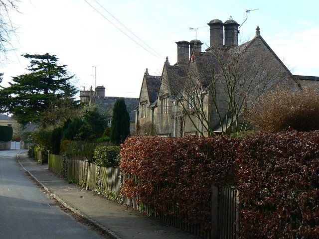
Broadmeadow Covert is a picturesque woodland located in the county of Gloucestershire, England. Situated in the heart of the Forest of Dean, it covers an extensive area of approximately 200 acres. The forest is renowned for its rich wildlife and diverse ecosystem, attracting nature enthusiasts and walkers alike.

The woodland predominantly consists of mixed deciduous trees, including beech, oak, and ash, creating a stunning canopy of greenery throughout the year. Underneath the towering trees, a lush undergrowth of ferns, bluebells, and wildflowers thrives, adding to the enchanting atmosphere.

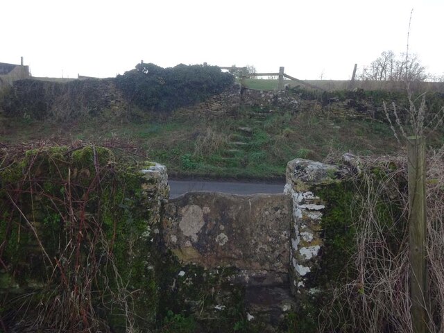
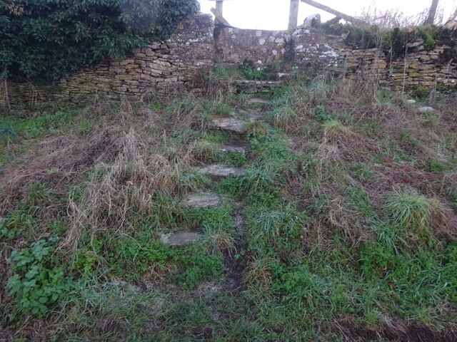
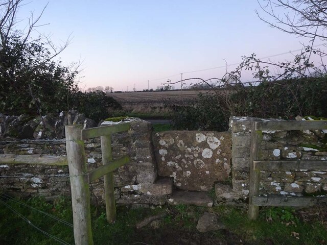
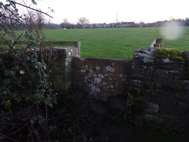
Broadmeadow Covert is intersected by several well-maintained footpaths, allowing visitors to explore the area and discover its hidden treasures. The trails wind their way through the woodland, providing glimpses of charming streams, small ponds, and ancient tree stumps. These paths are suitable for all levels of walkers, offering a peaceful and tranquil environment for those seeking a break from the hustle and bustle of everyday life.

The forest is also home to a wide array of wildlife, including deer, badgers, foxes, and a variety of bird species. Keen birdwatchers can spot woodpeckers, tawny owls, and buzzards, among others. The woodland's diverse ecosystem supports a plethora of flora and fauna, making it a haven for conservation efforts and biodiversity.

Broadmeadow Covert is a popular destination for outdoor enthusiasts, families, and nature lovers who can enjoy picnics, photography, and wildlife spotting. With its natural beauty and serene ambiance, this woodland provides a perfect escape into nature in the heart of Gloucestershire.

If you have any feedback on the listing, please let us know in the comments section below.

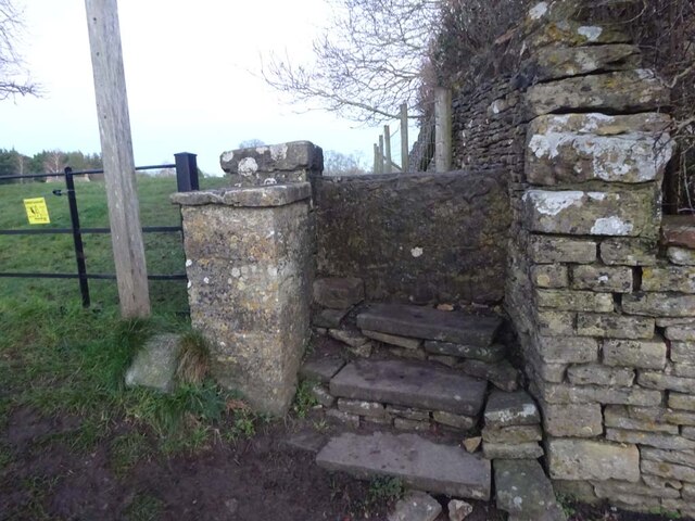
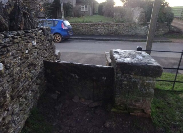
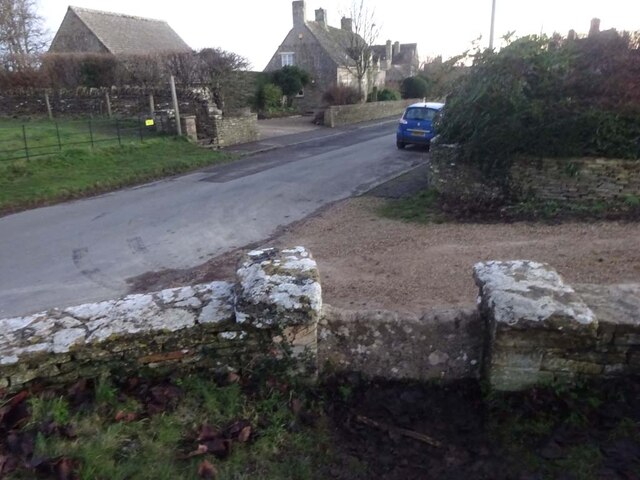
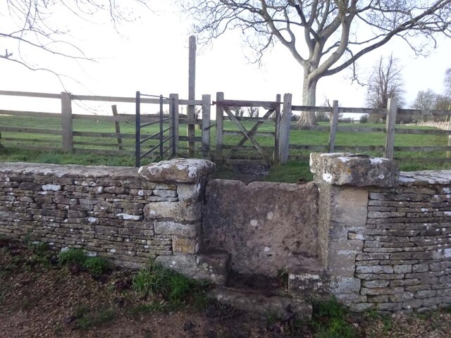
Broadmeadow Covert Images

Images are sourced within 2km of 51.750609/-1.7711792 or Grid Reference SP1505. Thanks to Geograph Open Source API. All images are credited.

Stone Stile, Quenington Off Mawley Road on Gloucestershire footpath BQU8 looking SW. The view looking NE is <a href="https://www.geograph.org.uk/photo/7069903">SP1404 : Stone Stile, Quenington</a>.
Stone Stile, Quenington
Off Mawley Road on Gloucestershire footpath BQU8 looking SW. The view looking NE is SP1404 : Stone Stile, Quenington.
Stone Stile, Quenington Off Mawley Road on Gloucestershire footpath BQU8 looking NE. The view looking SW is <a href="https://www.geograph.org.uk/photo/7069895">SP1404 : Stone Stile, Quenington</a>.
Stone Stile, Quenington
Off Mawley Road on Gloucestershire footpath BQU8 looking NE. The view looking SW is SP1404 : Stone Stile, Quenington.
Stone Stile, Quenington Looking NE to Victoria Road on Gloucestershire footpath BQU8. The view from the road is <a href="https://www.geograph.org.uk/photo/7069936">SP1404 : Stone Stile, Quenington</a>.
Stone Stile, Quenington
Looking NE to Victoria Road on Gloucestershire footpath BQU8. The view from the road is SP1404 : Stone Stile, Quenington.
Stone Stile, Quenington Looking SW from Victoria Road to Gloucestershire footpath BQU8. The view from the field is <a href="https://www.geograph.org.uk/photo/7069934">SP1404 : Stone Stile, Quenington</a>.
Stone Stile, Quenington
Looking SW from Victoria Road to Gloucestershire footpath BQU8. The view from the field is SP1404 : Stone Stile, Quenington.
Stone Stile, Quenington Of a u/c road on Gloucestershire footpath BQU10 across a flood meadow looking North from the field. The view looking South from the road is <a href="https://www.geograph.org.uk/photo/7070726">SP1404 : Stone Stile, Quenington</a>.
Stone Stile, Quenington
Of a u/c road on Gloucestershire footpath BQU10 across a flood meadow looking North from the field. The view looking South from the road is SP1404 : Stone Stile, Quenington.
Stone Stile, Quenington Off an u/c road on Gloucestershire footpath BQU10 across a flood meadow looking South. The view looking North is <a href="https://www.geograph.org.uk/photo/7070722">SP1404 : Stone Stile, Quenington</a>.
Stone Stile, Quenington
Off an u/c road on Gloucestershire footpath BQU10 across a flood meadow looking South. The view looking North is SP1404 : Stone Stile, Quenington.
Stone Stile, Quenington From Victoria Road looking NE to a flood meadow with Gloucestershire footpath BQU10 running diagonally left. The view looking SW is <a href="https://www.geograph.org.uk/photo/7070744">SP1404 : Stone Stile, Quenington</a>.
Stone Stile, Quenington
From Victoria Road looking NE to a flood meadow with Gloucestershire footpath BQU10 running diagonally left. The view looking SW is SP1404 : Stone Stile, Quenington.
Stone Stile, Quenington Looking SW from a flood meadow on Gloucestershire footpath BQU10 toward Victoria Road. The view looking NE is <a href="https://www.geograph.org.uk/photo/7070738">SP1404 : Stone Stile, Quenington</a>. The stile across the road is seen on <a title="https://www.geograph.org.uk/photo/7070763" href="https://www.geograph.org.uk/photo/7070763">Link</a> & <a title="https://www.geograph.org.uk/photo/7070738" href="https://www.geograph.org.uk/photo/7070738">Link</a>
Stone Stile, Quenington
Looking SW from a flood meadow on Gloucestershire footpath BQU10 toward Victoria Road. The view looking NE is SP1404 : Stone Stile, Quenington. The stile across the road is seen on Link & Link
Stone Stile, Quenington Looking NE across Victoria Road from Gloucestershire footpath BQU9. The view looking SW is <a href="https://www.geograph.org.uk/photo/7070768">SP1404 : Stone Stile, Quenington</a>. The stile on the other side of the road is seen on <a title="https://www.geograph.org.uk/photo/7070744" href="https://www.geograph.org.uk/photo/7070744">Link</a> & <a title="https://www.geograph.org.uk/photo/7070738" href="https://www.geograph.org.uk/photo/7070738">Link</a>.
Stone Stile, Quenington
Looking NE across Victoria Road from Gloucestershire footpath BQU9. The view looking SW is SP1404 : Stone Stile, Quenington. The stile on the other side of the road is seen on Link & Link.
Stone Stile, Quenington Looking SW from Victoria Road to Gloucestershire footpath BQU9. The view looking NE is <a href="https://www.geograph.org.uk/photo/7070763">SP1404 : Stone Stile, Quenington</a>.
Stone Stile, Quenington
Looking SW from Victoria Road to Gloucestershire footpath BQU9. The view looking NE is SP1404 : Stone Stile, Quenington.
Stone Stile, Coln St Aldwyns Looking SE from Gloucestershire footpath KCA3. The view from the road is <a href="https://www.geograph.org.uk/photo/7070804">SP1405 : Stone Stile, Coln St Aldwyns</a>.
Stone Stile, Coln St Aldwyns
Looking SE from Gloucestershire footpath KCA3. The view from the road is SP1405 : Stone Stile, Coln St Aldwyns.
Stone Stile, Coln St Aldwyns Looking NW to Gloucestershire footpath KCA3. The view to the road is <a href="https://www.geograph.org.uk/photo/7070802">SP1405 : Stone Stile, Coln St Aldwyns</a>.
Stone Stile, Coln St Aldwyns
Looking NW to Gloucestershire footpath KCA3. The view to the road is SP1405 : Stone Stile, Coln St Aldwyns.
Stone Stile, Coln St Aldwyns Looking North from the Salt Way to Gloucestershire footpath KCA2. The view looking South is <a href="https://www.geograph.org.uk/photo/7070817">SP1405 : Stone Stile, Coln St Aldwyns</a>.
Stone Stile, Coln St Aldwyns
Looking North from the Salt Way to Gloucestershire footpath KCA2. The view looking South is SP1405 : Stone Stile, Coln St Aldwyns.
Stone Stile, Coln St Aldwyns Looking South to the Salt Way from Gloucestershire footpath KCA2. The view looking North is <a href="https://www.geograph.org.uk/photo/7070813">SP1405 : Stone Stile, Coln St Aldwyns</a>.
Stone Stile, Coln St Aldwyns
Looking South to the Salt Way from Gloucestershire footpath KCA2. The view looking North is SP1405 : Stone Stile, Coln St Aldwyns.
Stone Stile, Coln St Aldwyns Looking East from the road to Bibury and Aldsworth to Gloucestershire footpath KCA3. The view looking West is <a href="https://www.geograph.org.uk/photo/7070825">SP1405 : Stone Stile, Coln St Aldwyns</a>.
Stone Stile, Coln St Aldwyns
Looking East from the road to Bibury and Aldsworth to Gloucestershire footpath KCA3. The view looking West is SP1405 : Stone Stile, Coln St Aldwyns.
Stone Stile, Coln St Aldwyns Looking West to the road to Bibury and Aldsworth from Gloucestershire footpath KCA3. The view looking East is <a href="https://www.geograph.org.uk/photo/7070824">SP1405 : Stone Stile, Coln St Aldwyns</a>.
Stone Stile, Coln St Aldwyns
Looking West to the road to Bibury and Aldsworth from Gloucestershire footpath KCA3. The view looking East is SP1405 : Stone Stile, Coln St Aldwyns.
Stone Stile, Coln St Aldwyns Looking NW to Gloucestershire footpath KCA2 at the entrance to a drive. The view looking SE is <a href="https://www.geograph.org.uk/photo/7070832">SP1405 : Stone Stile, Coln St Aldwyns</a>.
Stone Stile, Coln St Aldwyns
Looking NW to Gloucestershire footpath KCA2 at the entrance to a drive. The view looking SE is SP1405 : Stone Stile, Coln St Aldwyns.
Stone Stile, Coln St Aldwyns Looking SE from Gloucestershire footpath KCA2 at the entrance to a drive. The view looking NW is <a href="https://www.geograph.org.uk/photo/7070831">SP1405 : Stone Stile, Coln St Aldwyns</a>.
Stone Stile, Coln St Aldwyns
Looking SE from Gloucestershire footpath KCA2 at the entrance to a drive. The view looking NW is SP1405 : Stone Stile, Coln St Aldwyns.
Show me another place!

Broadmeadow Covert is located at Grid Ref: SP1505 (Lat: 51.750609, Lng: -1.7711792)

Administrative County: Gloucestershire

District: Cotswold

Police Authority: Gloucestershire

What 3 Words

///loudness.rubble.cornfield. Near Fairford, Gloucestershire

Related Wikis

Hatherop

Hatherop is a village and civil parish in the Cotswolds Area of Outstanding Natural Beauty, about 2.5 miles (4.0 km) north of Fairford in Gloucestershire...

Coln St. Aldwyns

Coln St. Aldwyns (sometimes Coln St. Aldwyn) is a village and civil parish in the Cotswold district of the English county of Gloucestershire. == History... ==

Quenington Preceptory

Quenington Preceptory was a preceptory of the Knights Hospitaller in Quenington, Gloucestershire, England. The manor of Quenington was given by Agnes de...

Quenington

Quenington is a nucleated village and larger rural civil parish in the Cotswold district of Gloucestershire, England, on the River Coln 8 miles (13 km...

RAF Southrop

Royal Air Force Southrop or more simply RAF Southrop is a former Royal Air Force satellite station west of the village of Southrop, Gloucestershire during...

Aldsworth

Aldsworth is a village and civil parish in the Cotswold district of Gloucestershire, about ten miles north-east of Cirencester. In 2010 its population...

Bibury Court

Bibury Court is a Grade I listed Jacobean country house in Bibury, Gloucestershire, England.The River Coln flows to the south of the property. == History... ==

Farmor's School

Farmor's School is a secondary school with academy status in Fairford, Gloucestershire. Including the Sixth Form, the school currently has about 1,000...

Have you been to Broadmeadow Covert?

Leave your review of Broadmeadow Covert below (or comments, questions and feedback).