Agra Crags Plantation

Wood, Forest in Yorkshire Harrogate

England

Agra Crags Plantation

Tower Hill Remote farm near Gollinglith
Tower Hill Credit: Chris Heaton

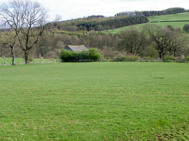
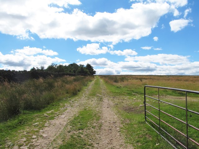
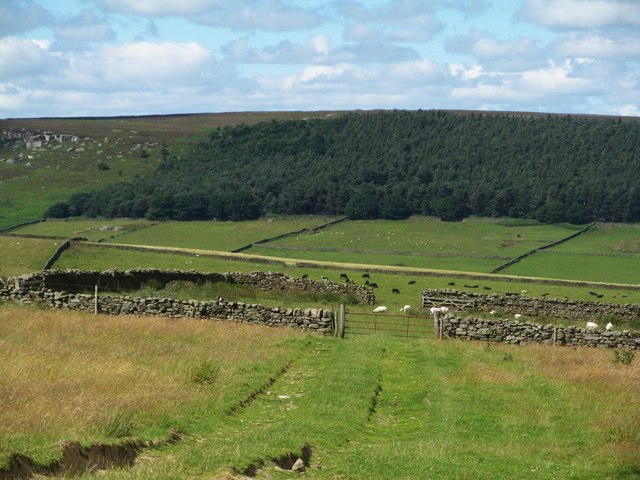
Agra Crags Plantation is a picturesque woodland located in Yorkshire, England. Covering an area of approximately 200 acres, it is a popular destination for nature lovers and outdoor enthusiasts. The plantation is nestled within the beautiful countryside of Yorkshire, offering visitors a serene and tranquil environment to explore.

The woodland is predominantly composed of various species of trees, including oak, birch, and beech. The dense canopy provides ample shade, creating a cool and pleasant atmosphere even during the hot summer months. The forest floor is adorned with a rich carpet of moss and ferns, adding to the enchanting ambiance of the plantation.

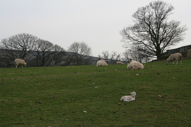
Agra Crags Plantation is home to a diverse range of wildlife, making it a haven for nature enthusiasts. Visitors can spot various species of birds, such as woodpeckers, owls, and thrushes, as they flit through the treetops. Squirrels and rabbits are commonly sighted scurrying amongst the undergrowth, while deer sightings are not uncommon.

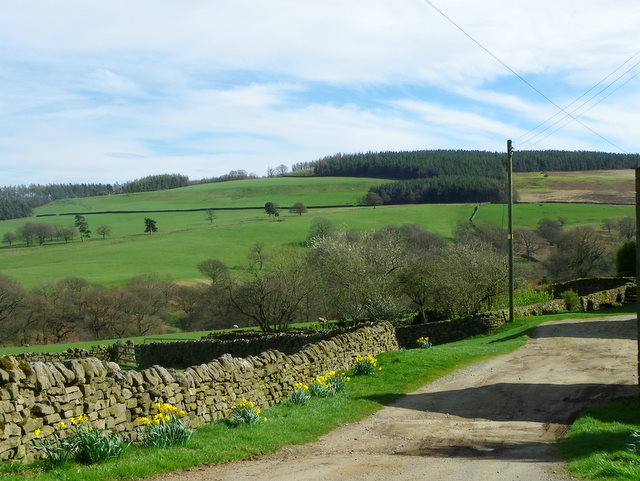
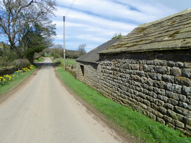
The plantation offers well-maintained walking trails, allowing visitors to explore the woodland at their own pace. These trails wind through the forest, providing stunning views of the surrounding countryside. Additionally, there are picnic areas scattered throughout the plantation, where visitors can relax and enjoy their surroundings.

Agra Crags Plantation is a cherished natural gem in Yorkshire, attracting locals and tourists alike. With its lush greenery, diverse wildlife, and peaceful atmosphere, it offers a delightful escape from the hustle and bustle of everyday life. Whether one seeks a leisurely stroll, a bird-watching adventure, or simply a moment of tranquility, this woodland sanctuary has something to offer for everyone.

If you have any feedback on the listing, please let us know in the comments section below.

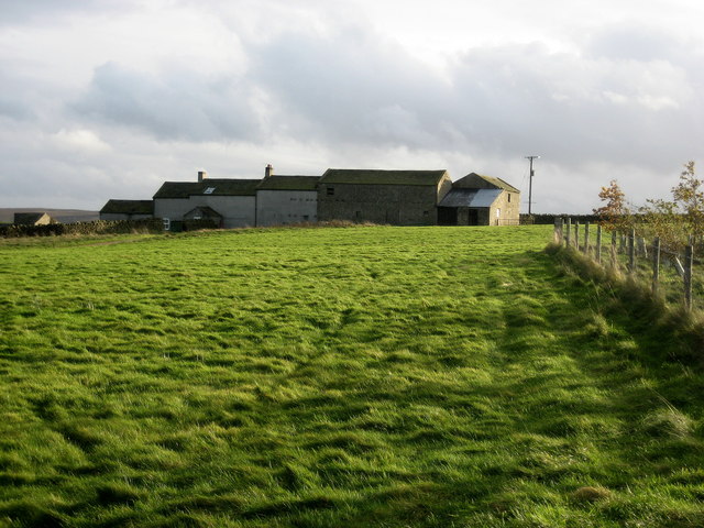
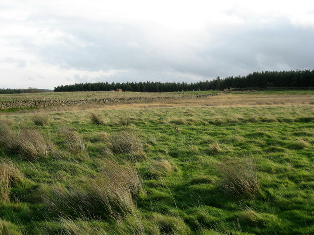
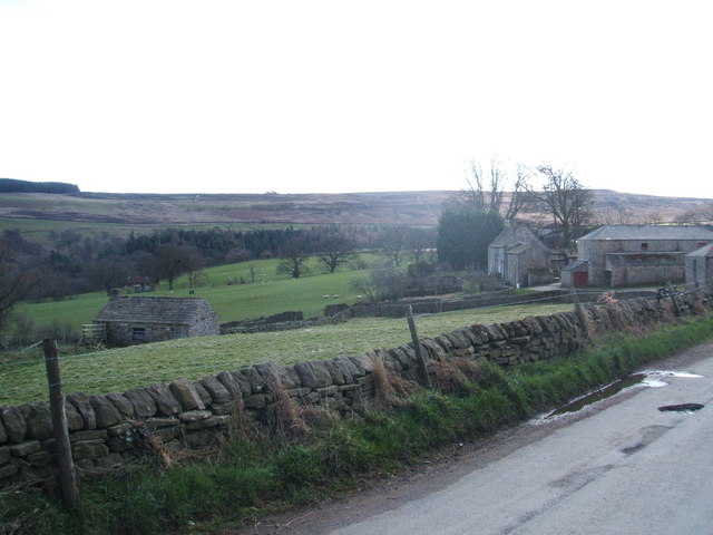
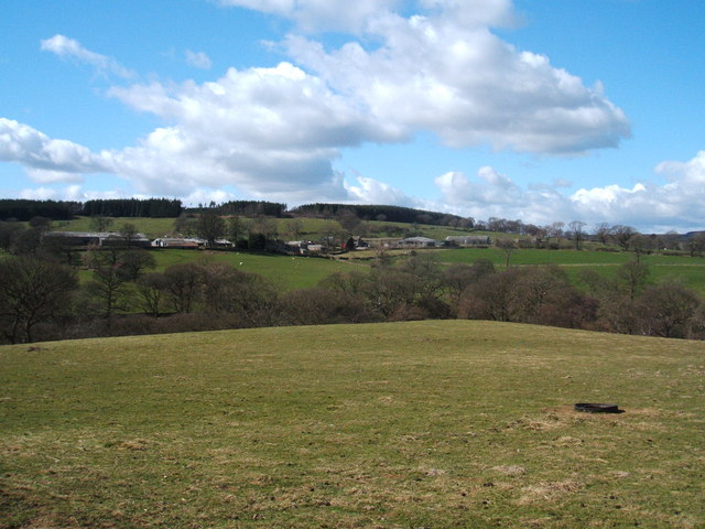
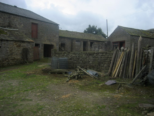
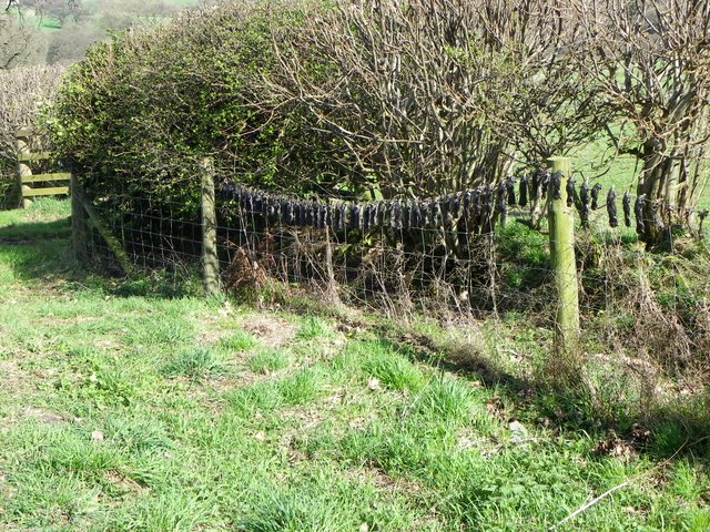
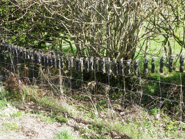
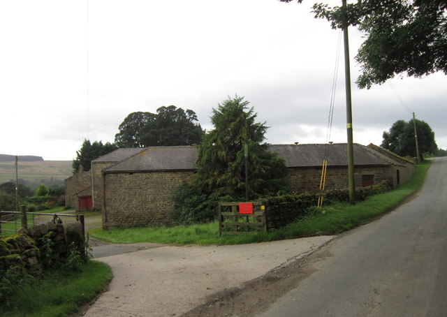
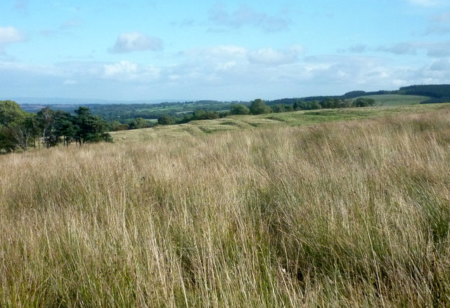
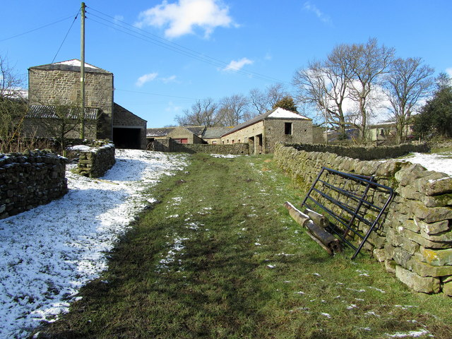
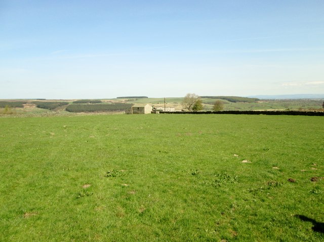
Agra Crags Plantation Images

Images are sourced within 2km of 54.227106/-1.7606953 or Grid Reference SE1581. Thanks to Geograph Open Source API. All images are credited.

Tower Hill Remote farm near Gollinglith
Tower Hill
Remote farm near Gollinglith
Looking over to Ox Close Plantation Looking south over rough pasture to the plantation
Looking over to Ox Close Plantation
Looking south over rough pasture to the plantation
Leighton Hall Farm
Leighton Hall Farm
Leighton Hall Farm and Leighton Grange
Leighton Hall Farm Showing the farmyard and ancillary buildings.
Leighton Hall Farm
Showing the farmyard and ancillary buildings.
Dozing Lamb, Leighton Hall Farm This lamb was dozing with its eyes closed in the hazy afternoon sun. We managed to pass by without disturbing it.
Dozing Lamb, Leighton Hall Farm
This lamb was dozing with its eyes closed in the hazy afternoon sun. We managed to pass by without disturbing it.
Mole gibbet, Leighton Good to see bizarre medieval practices alive and well in Yorkshire.
Mole gibbet, Leighton
Good to see bizarre medieval practices alive and well in Yorkshire.
Mole gibbet, Leighton Molehills were very noticeable in many of the fields in this area of Yorkshire. This farmer is waging war against them and has exhibited the little black bodies on the fence. The moles are mainly killed using scissor traps or tunnel traps.
Mole gibbet, Leighton
Molehills were very noticeable in many of the fields in this area of Yorkshire. This farmer is waging war against them and has exhibited the little black bodies on the fence. The moles are mainly killed using scissor traps or tunnel traps.
Pasture near Leighton The fields in the area are mainly used for sheep grazing.
Pasture near Leighton
The fields in the area are mainly used for sheep grazing.
Drive, Leighton Hall Farm The driveway has a colourful display of daffodils along it.
Drive, Leighton Hall Farm
The driveway has a colourful display of daffodils along it.
Minor road, Leighton Hall Farm The minor road passes the farm buildings.  There is an Ordnance Survey bench mark on the building.
Minor road, Leighton Hall Farm
The minor road passes the farm buildings. There is an Ordnance Survey bench mark on the building.
Bench Mark, Leighton Hall The bench mark is on the north west angle of the farm building.  For a view of the building <a href="https://www.geograph.org.uk/photo/2551703">SE1679 : Minor road, Leighton Hall Farm</a> and for further information on the bench mark and others in the area <span class="nowrap"><a title="http://www.bench-marks.org.uk/bm39121" rel="nofollow ugc noopener" href="http://www.bench-marks.org.uk/bm39121">Link</a><img style="margin-left:2px;" alt="External link" title="External link - shift click to open in new window" src="https://s1.geograph.org.uk/img/external.png" width="10" height="10"/></span>
Bench Mark, Leighton Hall
The bench mark is on the north west angle of the farm building. For a view of the building SE1679 : Minor road, Leighton Hall Farm and for further information on the bench mark and others in the area LinkExternal link
Leighton Hall Farm
Leighton Hall Farm
Leeds Pals Village in Colsterdale In 1914, during the first World War, a village and camp site was established in Colsterdale to accommodate men from Leeds who were training prior to their deployment to France. This regiment was known as the Leeds Pals. The photograph show the marks in the landscape made by the huts now long since gone. A Memorial to these men is just to the north of this field.
Leeds Pals Village in Colsterdale
In 1914, during the first World War, a village and camp site was established in Colsterdale to accommodate men from Leeds who were training prior to their deployment to France. This regiment was known as the Leeds Pals. The photograph show the marks in the landscape made by the huts now long since gone. A Memorial to these men is just to the north of this field.
Leighton Hall Farm Farming operation located in Leighton, above the valley created by Pott Beck
Leighton Hall Farm
Farming operation located in Leighton, above the valley created by Pott Beck
Six  Dales  Trail  to  Towler  Hill  Farm You can see for miles up here the weather is perfect, still a few miles to go to Middleham
Six Dales Trail to Towler Hill Farm
You can see for miles up here the weather is perfect, still a few miles to go to Middleham
Track to the moor Farm track at Towler Hill. The track is not a right of way and neither is it on access land, so not of interest to walkers.
Track to the moor
Farm track at Towler Hill. The track is not a right of way and neither is it on access land, so not of interest to walkers.
Marginal land at Towler Hill Rough grazing and sheep pasture close to Towler Hill farm. The view is north towards West Agra Plantation overlooking Colsterdale.
Marginal land at Towler Hill
Rough grazing and sheep pasture close to Towler Hill farm. The view is north towards West Agra Plantation overlooking Colsterdale.
Show me another place!

Agra Crags Plantation is located at Grid Ref: SE1581 (Lat: 54.227106, Lng: -1.7606953)

Division: North Riding

Administrative County: North Yorkshire

District: Harrogate

Police Authority: North Yorkshire

What 3 Words

///lakeside.quench.grownup. Near Masham, North Yorkshire

Related Wikis

Gollinglith Foot

Gollinglith Foot (GOWN-li FOOT), historically also spelt Gownley Foot, is a hamlet in the civil parish of Healey in the Harrogate district of North Yorkshire...

Leighton, North Yorkshire

Leighton is a hamlet in the civil parish of Healey in the Harrogate district of North Yorkshire, England. It is near Leighton Reservoir that provides for...

Healey, North Yorkshire

Healey is a small village and civil parish in the Harrogate district of North Yorkshire, England. It is situated in the valley of the River Burn, to the...

Leighton Reservoir

Leighton Reservoir is a reservoir which drains via the River Burn to the River Ure in North Yorkshire, England. It neighbours Roundhill Reservoir and is...

Colsterdale

Colsterdale is the valley of the River Burn, a tributary of the River Ure, in the Yorkshire Dales in North Yorkshire, England. It gives its name to a hamlet...

Ellingstring

Ellingstring is a village and civil parish in Wensleydale in North Yorkshire, England, about 5 miles (8 km) south-east of Leyburn, and 3.5 miles (5.6 km...

Colsterdale Light Railway

The Colsterdale Light Railway (CLR) was a narrow-gauge railway line in Colsterdale, North Yorkshire, England. It was built between 1903 and 1905 to allow...

Fearby

Fearby is a village and civil parish in North Yorkshire, England. It is located in the valley of the River Burn 2 miles (3 km) west of Masham. Nearby settlements...

Nearby Amenities

Located within 500m of 54.227106,-1.7606953
Building: yes
Lat/Long: 54.2303514/-1.7625318
Building: yes
Lat/Long: 54.2239614/-1.7645711
Building: yes
Lat/Long: 54.2244955/-1.7652621
Gollinglith Foot
Place: hamlet
Wikidata: Q92444595
Lat/Long: 54.2251518/-1.7661595
Telephone
Booth: K6
Covered: booth
Lat/Long: 54.2242897/-1.7661244
Post Box
Brand: Royal Mail
Brand Wikidata: Q638098
Collection Times: Mo-Fr 16:00; Sa 12:45
Operator: Royal Mail
Operator Wikidata: Q638098
Post Box Type: lamp
Ref: HG4 4
Lat/Long: 54.2243001/-1.7661239
The data included in this document is from www.openstreetmap.org. The data is made available under ODbL.

Have you been to Agra Crags Plantation?

Leave your review of Agra Crags Plantation below (or comments, questions and feedback).