How Gill Plantation

Wood, Forest in Yorkshire Harrogate

England

How Gill Plantation

Leeds Pals Village in Colsterdale In 1914, during the first World War, a village and camp site was established in Colsterdale to accommodate men from Leeds who were training prior to their deployment to France. This regiment was known as the Leeds Pals. The photograph show the marks in the landscape made by the huts now long since gone. A Memorial to these men is just to the north of this field.
Leeds Pals Village in Colsterdale Credit: John Sparshatt

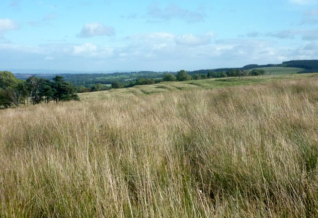
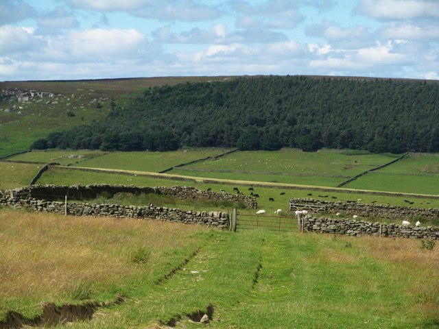
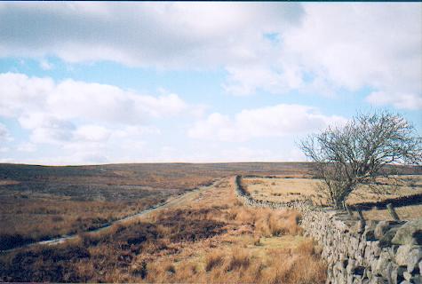
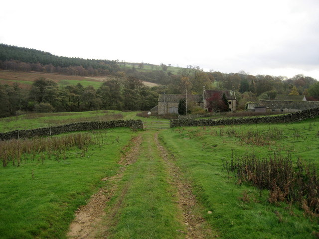
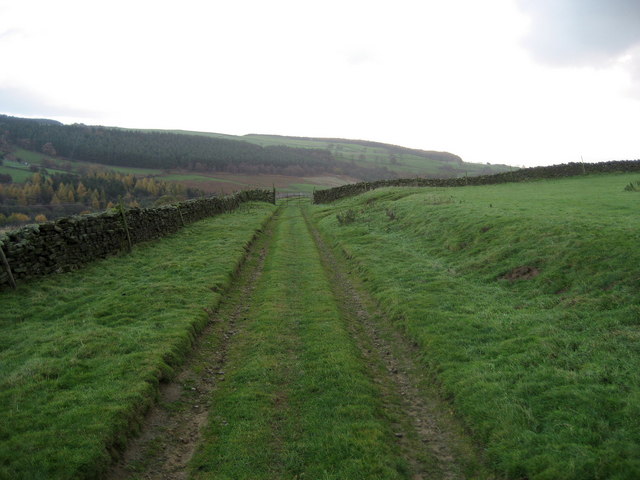
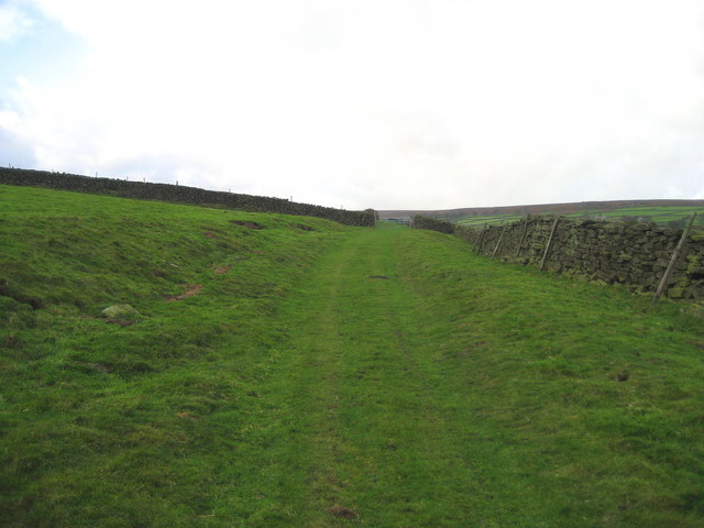
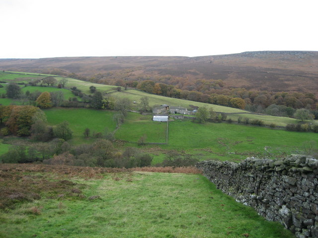
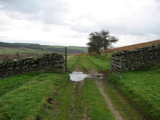
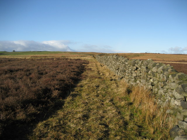
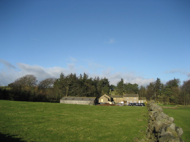
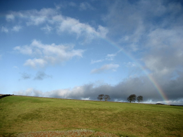
Gill Plantation, located in Yorkshire, is a sprawling woodland area renowned for its natural beauty and rich biodiversity. Covering a vast expanse of land, this forested region is a sanctuary for a wide variety of flora and fauna, making it a popular destination for nature lovers, hikers, and wildlife enthusiasts.

The plantation is characterized by its dense woodlands, towering trees, and lush undergrowth. The diverse range of tree species includes oak, beech, birch, and pine, creating a captivating tapestry of colors throughout the year. The forest floor is carpeted with an array of wildflowers, ferns, and mosses, providing a habitat for numerous small mammals, insects, and birds.

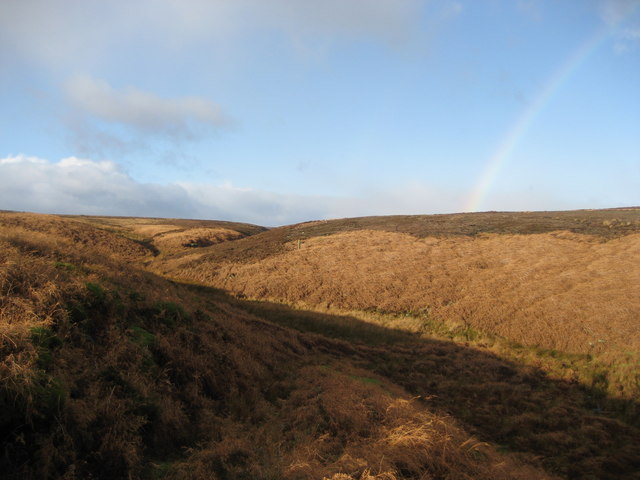
Traversing through Gill Plantation, visitors can experience the tranquil ambiance and serenity of nature. Well-maintained trails wind their way through the forest, offering breathtaking views of the surrounding landscape. The sound of rustling leaves and the occasional chirping of birds fill the air, providing a soothing retreat from the hustle and bustle of city life.

In addition to its scenic beauty, Gill Plantation also plays a crucial role in conservation efforts. The forest serves as a vital habitat for several endangered species, including the red squirrel and various species of bats. It is also home to a diverse range of bird species, such as woodpeckers, owls, and songbirds, making it a popular spot for birdwatching.

Overall, Gill Plantation stands as a natural treasure in Yorkshire, offering a haven for both wildlife and humans alike. Its enchanting woodlands, diverse ecosystems, and conservation efforts make it a must-visit destination for those seeking a peaceful and immersive experience in nature.

If you have any feedback on the listing, please let us know in the comments section below.

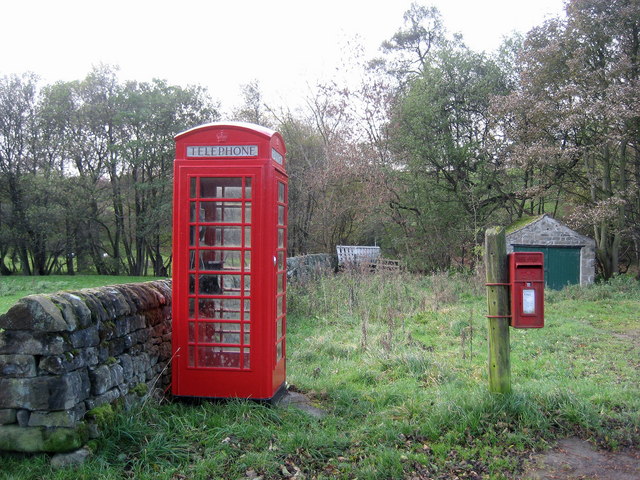
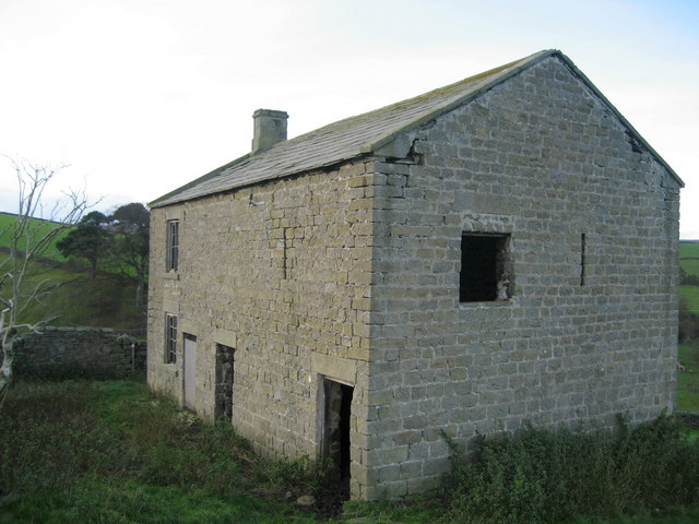
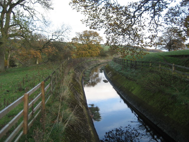
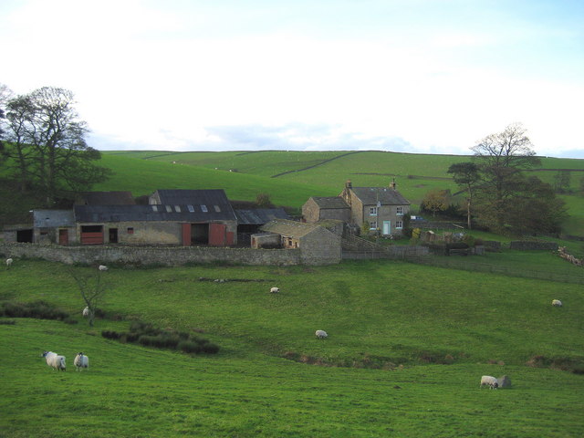
How Gill Plantation Images

Images are sourced within 2km of 54.231037/-1.7674683 or Grid Reference SE1581. Thanks to Geograph Open Source API. All images are credited.

Leeds Pals Village in Colsterdale In 1914, during the first World War, a village and camp site was established in Colsterdale to accommodate men from Leeds who were training prior to their deployment to France. This regiment was known as the Leeds Pals. The photograph show the marks in the landscape made by the huts now long since gone. A Memorial to these men is just to the north of this field.
Leeds Pals Village in Colsterdale
In 1914, during the first World War, a village and camp site was established in Colsterdale to accommodate men from Leeds who were training prior to their deployment to France. This regiment was known as the Leeds Pals. The photograph show the marks in the landscape made by the huts now long since gone. A Memorial to these men is just to the north of this field.
Marginal land at Towler Hill Rough grazing and sheep pasture close to Towler Hill farm. The view is north towards West Agra Plantation overlooking Colsterdale.
Marginal land at Towler Hill
Rough grazing and sheep pasture close to Towler Hill farm. The view is north towards West Agra Plantation overlooking Colsterdale.
Track over Witton Moor Much of Witton Moor is now open access land, with this track being the best approach.
Track over Witton Moor
Much of Witton Moor is now open access land, with this track being the best approach.
Gollinglith Foot from Coal Road Looking east towards a residence in the hamlet of Gollinglith Foot by the infant River Burn
Gollinglith Foot from Coal Road
Looking east towards a residence in the hamlet of Gollinglith Foot by the infant River Burn
Coal Road (East 1) Ancient track used for the transportation of coal off Colsterdale Moor
Coal Road (East 1)
Ancient track used for the transportation of coal off Colsterdale Moor
Coal Road (East 2) Ancient track used for the transportation of coal off Colsterdale Moor
Coal Road (East 2)
Ancient track used for the transportation of coal off Colsterdale Moor
Low Houses The farmstead and surrounding area of Colsterdale as seen from below the Coal Road, with Agra Moor in the background
Low Houses
The farmstead and surrounding area of Colsterdale as seen from below the Coal Road, with Agra Moor in the background
Coal Road (Central) Ancient track used for the transportation of coal.  An excellent walk along this track can be enjoyed with wonderful views over Colsterdale to the north
Coal Road (Central)
Ancient track used for the transportation of coal. An excellent walk along this track can be enjoyed with wonderful views over Colsterdale to the north
Gollinglith Foot Hamlet beside the River Burn, whose services include a letter box and telephone kiosk
Gollinglith Foot
Hamlet beside the River Burn, whose services include a letter box and telephone kiosk
Pickersgill House Abandoned residence not far from the Leeds Pals War Memorial
Pickersgill House
Abandoned residence not far from the Leeds Pals War Memorial
Water Channel by Spout House Substantial water channel connected to Spruce Gill Beck, which seems out of place in such a remote area
Water Channel by Spout House
Substantial water channel connected to Spruce Gill Beck, which seems out of place in such a remote area
Spout House Farm Farmstead near Gollinglith Foot in Colsterdale
Spout House Farm
Farmstead near Gollinglith Foot in Colsterdale
Wall over Tranmire Bog Dry stone enclosure wall heading north west over the rough ground of Tranmire Bog towards Witton Moor
Wall over Tranmire Bog
Dry stone enclosure wall heading north west over the rough ground of Tranmire Bog towards Witton Moor
Tranmire Isolated farmstead surrounded by enclosed pastures, which are themselves surrounded by moorland - like an island
Tranmire
Isolated farmstead surrounded by enclosed pastures, which are themselves surrounded by moorland - like an island
Watercourse below Tranmire Hill Following this gill upstream to its source on Agra Moor - the rainbow is a bonus, but not a geograph (wrong square).
Watercourse below Tranmire Hill
Following this gill upstream to its source on Agra Moor - the rainbow is a bonus, but not a geograph (wrong square).
Witton Moor The moor from East Belt Plantation. Anyone tempted to wander in beware!  It is open access but I noticed a number of vicious looking contraptions like giant mousetraps with spikes on the throwing arm - anything like a stoat or fox caught in these things would die a slow agonising death, and wouldn't improve the walkers feet either.
Witton Moor
The moor from East Belt Plantation. Anyone tempted to wander in beware! It is open access but I noticed a number of vicious looking contraptions like giant mousetraps with spikes on the throwing arm - anything like a stoat or fox caught in these things would die a slow agonising death, and wouldn't improve the walkers feet either.
Rainbow over Tranmire Hill Pastures attached to the isolated farmstead of Tranmire - an oasis surrounded by moorland
Rainbow over Tranmire Hill
Pastures attached to the isolated farmstead of Tranmire - an oasis surrounded by moorland
Upland pastures near Tranmire Bog Wet and soggy pastures on the edge of extensive moorland near Tranmire
Upland pastures near Tranmire Bog
Wet and soggy pastures on the edge of extensive moorland near Tranmire
Show me another place!

How Gill Plantation is located at Grid Ref: SE1581 (Lat: 54.231037, Lng: -1.7674683)

Division: North Riding

Administrative County: North Yorkshire

District: Harrogate

Police Authority: North Yorkshire

What 3 Words

///reply.riverboat.robe. Near Masham, North Yorkshire

Related Wikis

Gollinglith Foot

Gollinglith Foot (GOWN-li FOOT), historically also spelt Gownley Foot, is a hamlet in the civil parish of Healey in the Harrogate district of North Yorkshire...

Colsterdale

Colsterdale is the valley of the River Burn, a tributary of the River Ure, in the Yorkshire Dales in North Yorkshire, England. It gives its name to a hamlet...

Leighton, North Yorkshire

Leighton is a hamlet in the civil parish of Healey in the Harrogate district of North Yorkshire, England. It is near Leighton Reservoir that provides for...

Ellingstring

Ellingstring is a village and civil parish in Wensleydale in North Yorkshire, England, about 5 miles (8 km) south-east of Leyburn, and 3.5 miles (5.6 km...

Healey, North Yorkshire

Healey is a small village and civil parish in the Harrogate district of North Yorkshire, England. It is situated in the valley of the River Burn, to the...

Leighton Reservoir

Leighton Reservoir is a reservoir which drains via the River Burn to the River Ure in North Yorkshire, England. It neighbours Roundhill Reservoir and is...

Colsterdale Light Railway

The Colsterdale Light Railway (CLR) was a narrow-gauge railway line in Colsterdale, North Yorkshire, England. It was built between 1903 and 1905 to allow...

East Witton

East Witton is a village and civil parish in Wensleydale in North Yorkshire, England. It lies south of Leyburn, in the Richmondshire district. Richard...

Related Videos

2 March 2023

March 23 Holiday time with Jane and Jazz.

Richard Whiteley Grave Countdown Presenter. Famous Celebrity Graves

Richard Whiteley OBE DL 28 December born 1943 – 26 June 2005. Richard Whiteley was an English presenter, and journalist, ...

Nearby Amenities

Located within 500m of 54.231037,-1.7674683
Building: yes
Lat/Long: 54.2303514/-1.7625318
The data included in this document is from www.openstreetmap.org. The data is made available under ODbL.

Have you been to How Gill Plantation?

Leave your review of How Gill Plantation below (or comments, questions and feedback).