Scotland Wood
Wood, Forest in Warwickshire Stratford-on-Avon
England
Scotland Wood
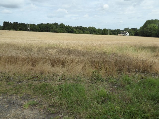
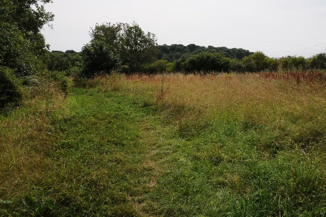
Scotland Wood is a small woodland area located in Warwickshire, England. Situated near the village of Wood, this forested area covers approximately 50 acres of land. The wood is a designated Site of Special Scientific Interest (SSSI) due to its ecological significance and rich biodiversity.
The woodland is predominantly composed of native broadleaf trees, such as oak, beech, and ash, which create a dense canopy overhead. These trees provide a habitat for a diverse range of flora and fauna, including a variety of bird species, mammals, and insects. The forest floor is covered in a thick layer of mosses, ferns, and wildflowers, adding to the wood's natural beauty.
The wood is crisscrossed by several well-maintained footpaths, allowing visitors to explore its peaceful surroundings and enjoy the tranquility of nature. These paths provide access to different areas of the woodland, including a small pond and a meadow, which further enhances the biodiversity of the site.
Scotland Wood is a popular destination for nature enthusiasts, walkers, and wildlife photographers. Visitors can expect to encounter various bird species, such as woodpeckers, owls, and thrushes, as well as small mammals like squirrels and rabbits. The wood is also home to a range of insects, including butterflies and dragonflies, which thrive in its diverse ecosystem.
Overall, Scotland Wood offers a serene and picturesque environment for those seeking to connect with nature and explore the beauty of Warwickshire's woodlands. Its protected status as an SSSI ensures the preservation of its unique ecological features for future generations to enjoy.
If you have any feedback on the listing, please let us know in the comments section below.
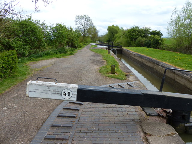
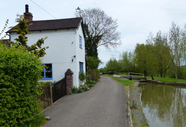
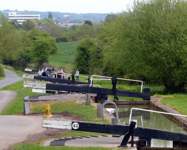
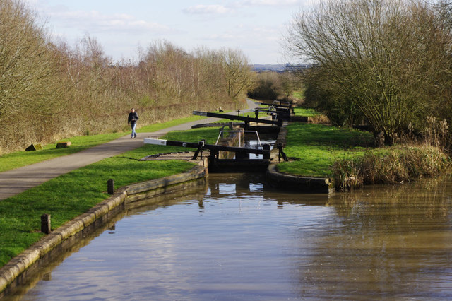
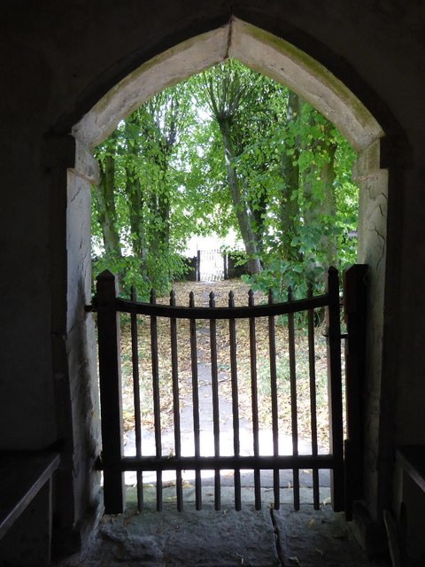
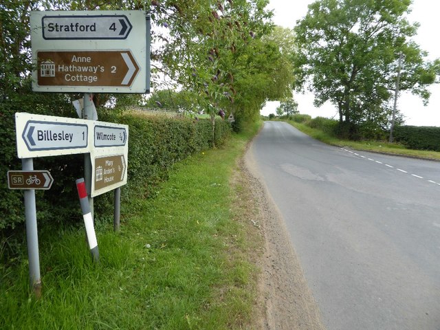
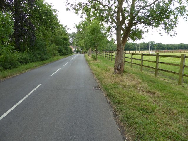
Scotland Wood Images
Images are sourced within 2km of 52.202045/-1.7719286 or Grid Reference SP1556. Thanks to Geograph Open Source API. All images are credited.


Scotland Wood is located at Grid Ref: SP1556 (Lat: 52.202045, Lng: -1.7719286)
Administrative County: Warwickshire
District: Stratford-on-Avon
Police Authority: Warwickshire
What 3 Words
///tools.backs.cherished. Near Wilmcote, Warwickshire
Nearby Locations
Related Wikis
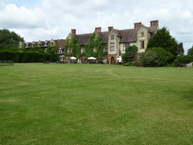
Billesley, Warwickshire
Billesley is a village and civil parish in the Stratford district of Warwickshire, England, between Stratford and Alcester. According to the 2001 Census...

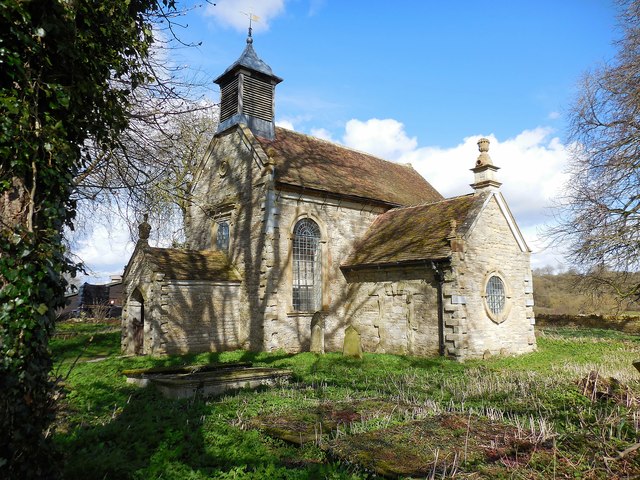
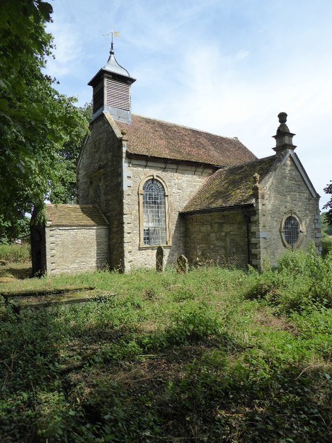
All Saints Church, Billesley
All Saints Church is a redundant Anglican church in the village of Billesley, Warwickshire, England. It is recorded in the National Heritage List for...
Barlichway Hundred
Barlichway Hundred or Barlinchway Hundred was a historic hundred of the county of Warwickshire in England. It covered the west of the county, including...
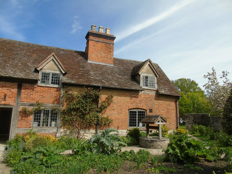
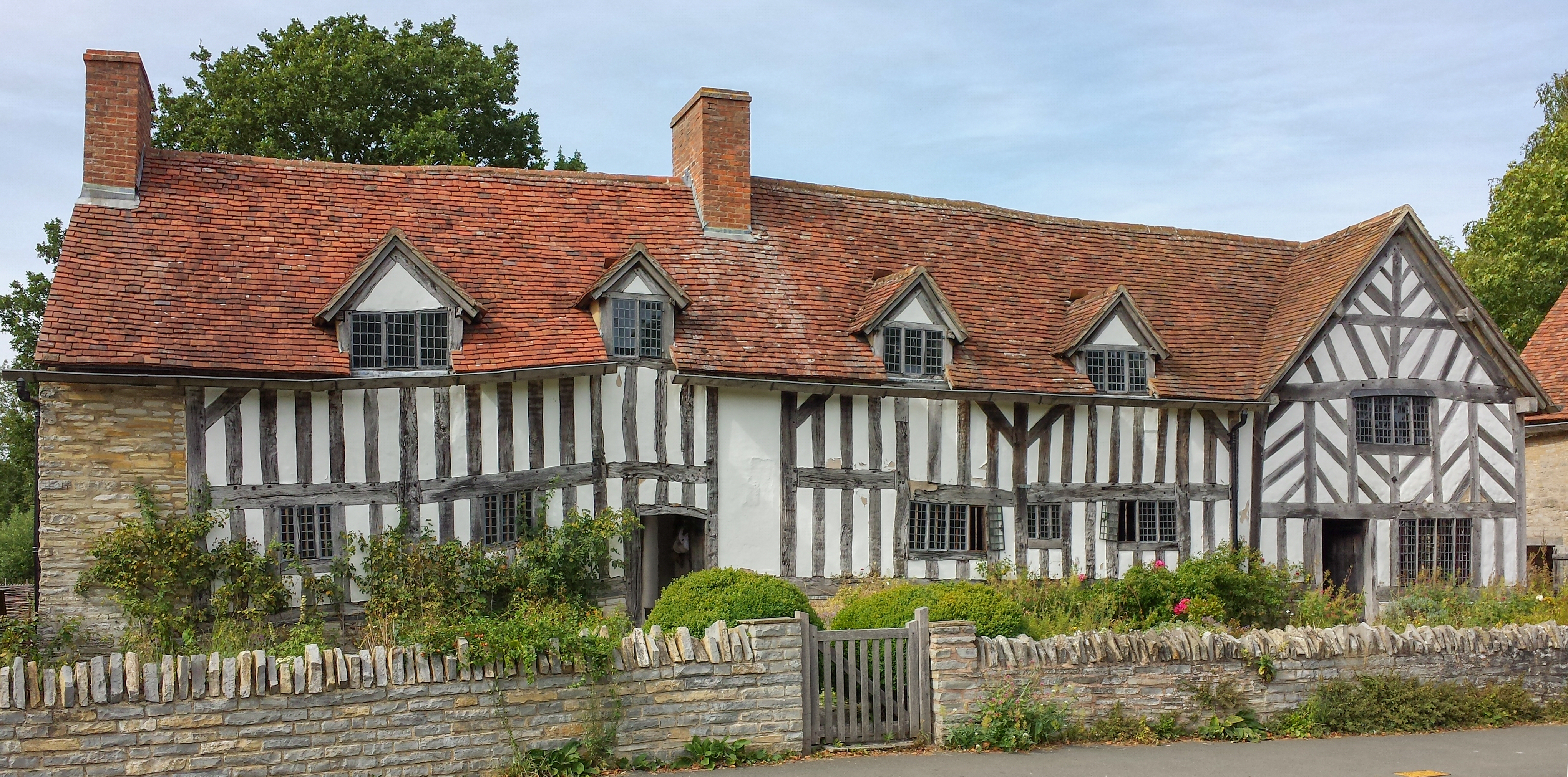
Mary Arden's Farm
Mary Arden's Farm, also known as Mary Arden's House, is the farmhouse of Mary Shakespeare (née Arden), the mother of Elizabethan playwright William Shakespeare...
Wilmcote
Wilmcote is a village, and since 2004 a separate civil parish, in the English county of Warwickshire, about 3 miles (5 km) north of Stratford-upon-Avon...

St Peter's Church, Binton
St Peter's Church is the Anglican church in the village of Binton in Warwickshire. == History == There has been a church on the site since at least 1286...

Binton
Binton is a village and civil parish in the Stratford district of Warwickshire, England. It is about five miles (8.0 km) west of Stratford-upon-Avon. According...

Wilmcote railway station
Wilmcote railway station serves the village of Wilmcote, about 4 miles (6.4 km) north of Stratford-upon-Avon in Warwickshire, England. The station is run...
Related Videos

How to Make and Distil Your Own Gin Recipe | The Shakespeare Distillery
Do you ever wonder how gin recipes are crafted? In today's video I'll show you the methodology behind how gin recipes are ...

Dodwell Park Campsite | Dodwell | Campsite Review | An IDEAL SITE for Visiting Stratford-upon-Avon
Dodwell Park Campsite. Dodwell. Campsite Review. An IDEAL SITE for Visiting Stratford-upon-Avon. In this video we review ...

Dodwell Park Campsite | Stratford-upon-Avon | Warwickshire | 3 Minute Review
Dodwell Park Campsite. Stratford-upon-Avon. Warwickshire. 3 Minute Review. Full video on our main channel: ...

Bishopton Lane, Stratford Upon Avon.
Bishopton Lane 1.00pm Wednesday 17th Feb. No consideration to residents given by Stratford council or Taylor Wimpey.
Nearby Amenities
Located within 500m of 52.202045,-1.7719286Have you been to Scotland Wood?
Leave your review of Scotland Wood below (or comments, questions and feedback).