Holme Wood
Wood, Forest in Durham
England
Holme Wood

Holme Wood is a dense forest located in the county of Durham, England. Covering an area of approximately 500 acres, it is a notable natural landmark in the region. The wood is situated near the village of Holme, which gives it its name, and is surrounded by picturesque countryside.
The forest is predominantly composed of deciduous trees, such as oak, birch, and beech, which create a lush and vibrant canopy during the warmer months. The varied vegetation provides a habitat for a diverse range of wildlife, including deer, foxes, and a multitude of bird species. This makes Holme Wood a popular destination for nature enthusiasts and birdwatchers.
The wood is crisscrossed by a network of well-maintained footpaths, allowing visitors to explore its beauty and tranquility. These paths wind through the forest, leading to open clearings and secluded areas, where one can find peace and solitude amidst the natural surroundings. Additionally, there are several picnic areas and benches scattered throughout the wood, providing visitors with the opportunity to relax and enjoy a meal amidst the peaceful ambiance.
Holme Wood also holds historical significance, as it is believed to have been in existence for centuries. There are remnants of ancient stone walls and boundary markers, suggesting that the wood has been used and protected by humans for generations.
Overall, Holme Wood is a stunning and serene forest, offering a respite from the hustle and bustle of everyday life. With its diverse flora and fauna, picturesque footpaths, and historical significance, it is a place of natural beauty and cultural importance in Durham.
If you have any feedback on the listing, please let us know in the comments section below.
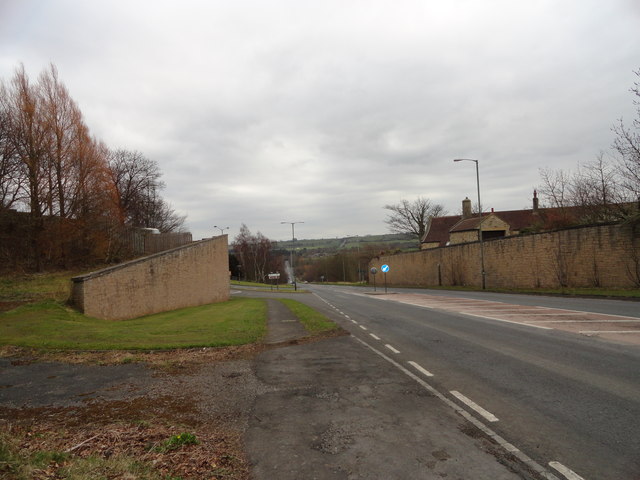
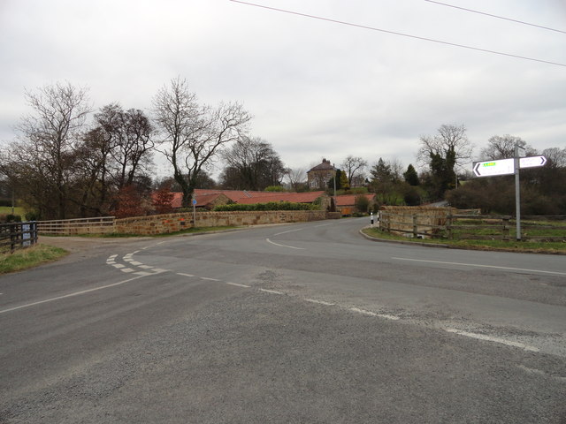
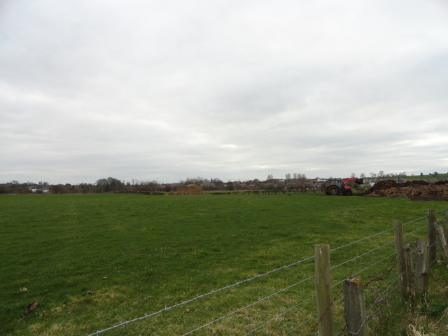
Holme Wood Images
Images are sourced within 2km of 54.671697/-1.7583241 or Grid Reference NZ1530. Thanks to Geograph Open Source API. All images are credited.


Holme Wood is located at Grid Ref: NZ1530 (Lat: 54.671697, Lng: -1.7583241)
Unitary Authority: County Durham
Police Authority: Durham
What 3 Words
///overlaps.gates.waxing. Near High Etherley, Co. Durham
Nearby Locations
Related Wikis
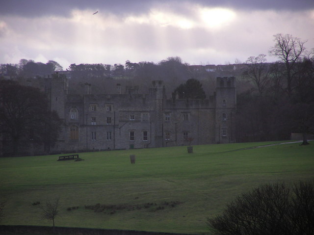
Witton Castle
Witton Castle is a much-altered 15th-century castle, which is the centrepiece of a holiday and caravan country park at Witton le Wear, near Bishop Auckland...

Witton-le-Wear (SSSI)
Witton-le-Wear (SSSI) is a Site of Special Scientific Interest located in the valley of the River Wear, immediately east of the village of Witton-le-Wear...

Witton-le-Wear railway station
Witton-le-Wear railway station is a railway station on the Weardale heritage railway serves the village of Witton-le-Wear in County Durham, North East...

Witton-le-Wear
Witton-le-Wear is a village in County Durham, North East England. It is situated on the north bank of the River Wear, 6 km (3.7 mi) to the north-west of...
Witton Park Colliery
Witton Park Colliery was a coal mine in Witton Park, Witton-le-Wear near Bishop Auckland, County Durham, Northern England. == Development == Part of the...
Wear Valley Junction railway station
Wear Valley Junction railway station primarily served as an interchange between the Wear Valley Line and the Weardale Extension Railway (WXR) between 1847...

Witton Park
Witton Park is a village in County Durham, in England. It is situated to the west of Bishop Auckland. In 2001 it had a population of 384. == Famous... ==
Phoenix Row
Phoenix Row incorporating Belts Gill and Softley Dene Farm (formerly Glebe Farm) is a hamlet of about 30 houses in County Durham, in England. It is situated...
Nearby Amenities
Located within 500m of 54.671697,-1.7583241Have you been to Holme Wood?
Leave your review of Holme Wood below (or comments, questions and feedback).