Boundary Ash Belt
Wood, Forest in Gloucestershire Cotswold
England
Boundary Ash Belt

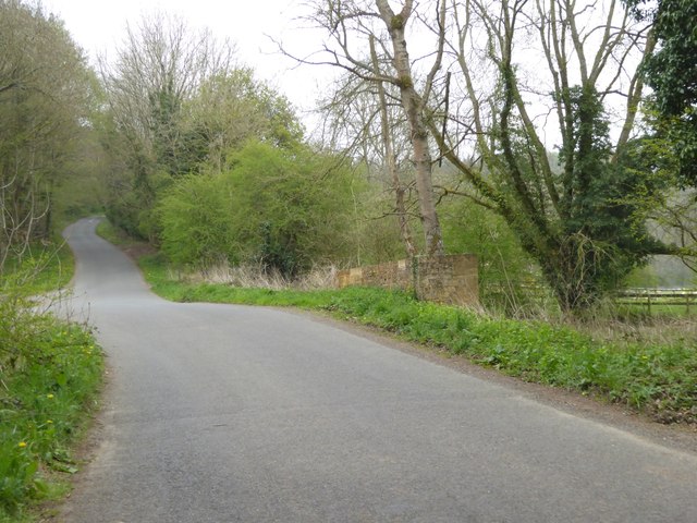
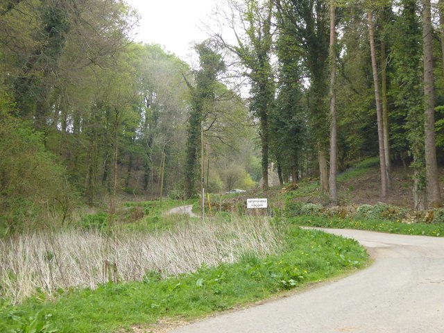
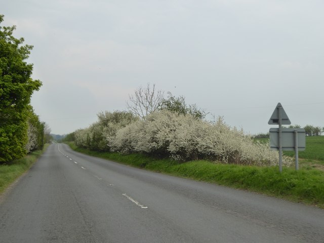
Boundary Ash Belt is a woodland area located in Gloucestershire, England. Spread across a vast expanse, it is a part of the larger Forest of Dean. The woodland is renowned for its diverse range of plant and animal species, making it a significant ecological hotspot in the region.
The woodland consists of a mixture of deciduous and coniferous trees, including oak, beech, birch, and pine. These trees create a dense canopy, providing shelter and habitat for various wildlife species. The forest floor is covered in a rich carpet of ferns, mosses, and wildflowers, adding to the area's natural beauty.
Boundary Ash Belt is crisscrossed by numerous walking trails and footpaths, allowing visitors to explore the woodland and immerse themselves in its serene atmosphere. The paths wind through the trees, offering glimpses of wildlife such as deer, foxes, badgers, and a variety of bird species.
The woodland is also popular among nature enthusiasts and birdwatchers, as it is home to several rare and protected bird species, including the pied flycatcher and the redstart. These birds nest and breed in the dense vegetation, making Boundary Ash Belt an important site for conservation efforts.
The woodland is managed by local authorities and conservation organizations to ensure its preservation and protection. Visitors are encouraged to follow designated trails and adhere to any guidelines put in place to safeguard the fragile ecosystem.
Boundary Ash Belt, Gloucestershire, is a natural gem that offers a tranquil escape for nature lovers and a haven for wildlife in the heart of England.
If you have any feedback on the listing, please let us know in the comments section below.
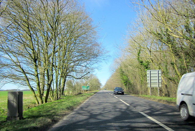
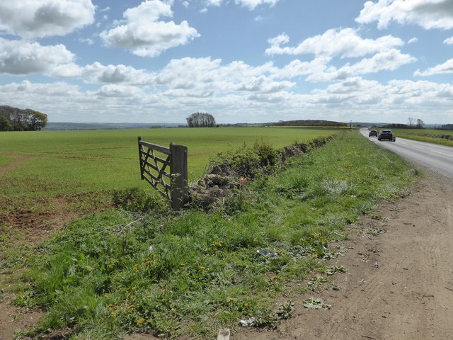
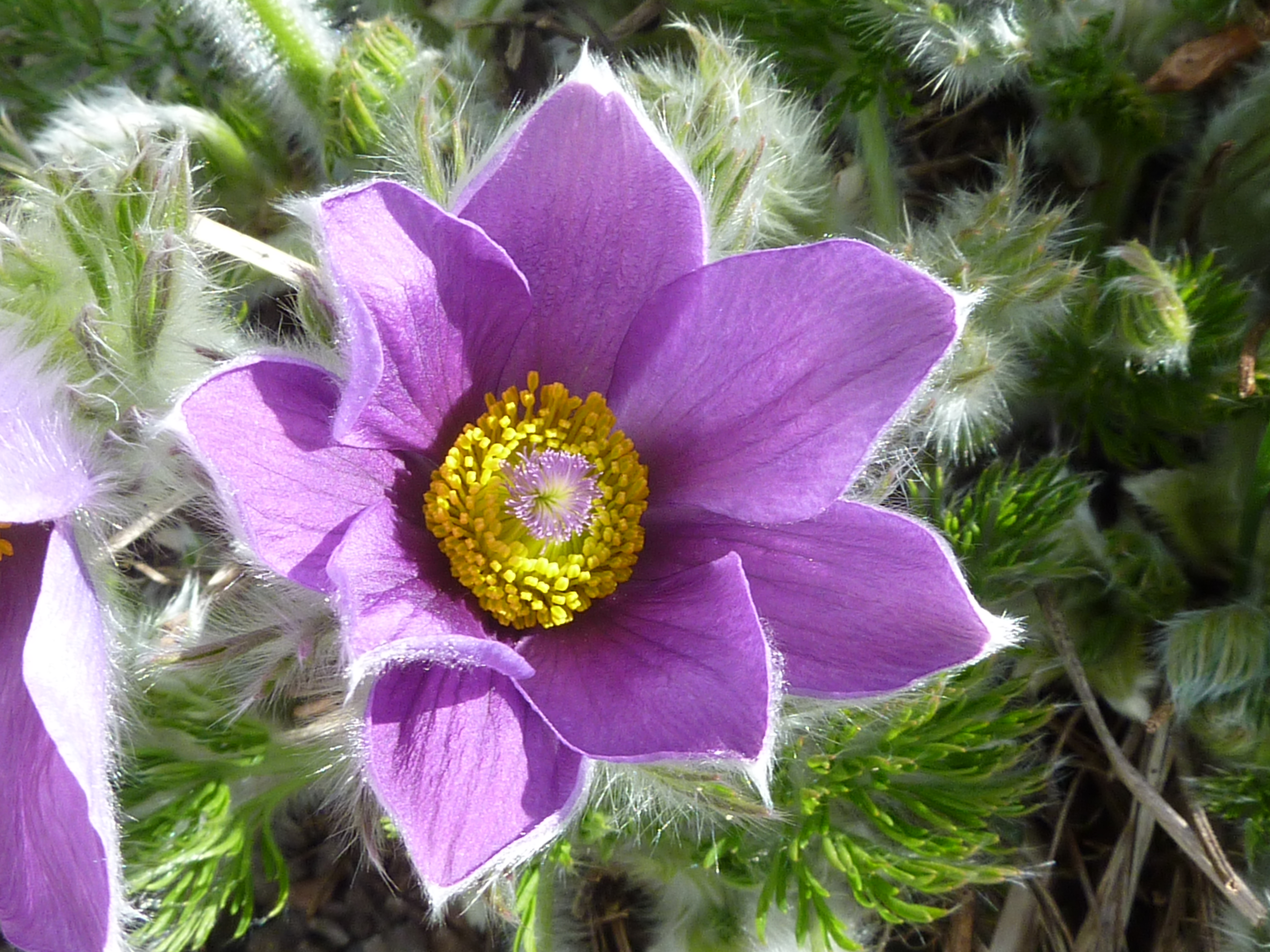
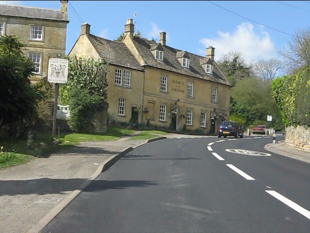
Boundary Ash Belt Images
Images are sourced within 2km of 51.982187/-1.7799618 or Grid Reference SP1531. Thanks to Geograph Open Source API. All images are credited.


Boundary Ash Belt is located at Grid Ref: SP1531 (Lat: 51.982187, Lng: -1.7799618)
Administrative County: Gloucestershire
District: Cotswold
Police Authority: Gloucestershire
What 3 Words
///soaks.crumple.batches. Near Blockley, Gloucestershire
Nearby Locations
Related Wikis
Bourton Down
Bourton Down (grid reference SP142313) is an 11.17-hectare (27.6-acre) biological Site of Special Scientific Interest near Bourton-on-the-Hill in Gloucestershire...

Hinchwick
Hinchwick is a small village in Gloucestershire, England at grid reference SP145300. Hinchwick Manor was built by architect Charles Robert Cockerell in...

Sezincote (settlement)
Sezincote or Seasoncote is a settlement and civil parish comprising Sezincote House and its estate, situated about 3 miles from Stow-on-the-Wold in the...
Sezincote House
Sezincote House (pronounced seas in coat) is the centre of a country estate in the civil parish of Sezincote, in the county of Gloucestershire, England...
Bourton-on-the-Hill
Bourton-on-the-Hill is a village and civil parish in the Cotswold district of Gloucestershire, England, and about 2 miles (3 km) west of Moreton-in-Marsh...

Hornsleasow Quarry
Hornsleasow Quarry (grid reference SP131322) is a 3.5-hectare (8.6-acre) geological Site of Special Scientific Interest in Gloucestershire, notified in...

Church of St Lawrence, Bourton-on-the-Hill
The Anglican Church of St Lawrence at Bourton-on-the-Hill in the Cotswold District of Gloucestershire, England was built in the 12th century. It is a grade...

Ganborough
Ganborough is a hamlet located along the A424 road, approximately 2 miles NNW of Stow on the Wold. Ganborough is located in Gloucestershire, a county in...
Nearby Amenities
Located within 500m of 51.982187,-1.7799618Have you been to Boundary Ash Belt?
Leave your review of Boundary Ash Belt below (or comments, questions and feedback).