Cow Close Wood
Wood, Forest in Yorkshire Harrogate
England
Cow Close Wood
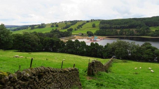
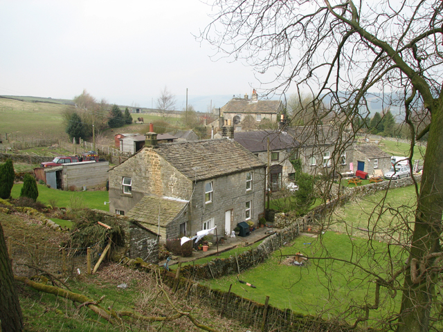
Cow Close Wood is a picturesque woodland located in Yorkshire, England. It covers an area of approximately 50 acres and is situated in close proximity to the village of Cow Close. The wood is known for its diverse range of flora and fauna, making it a popular destination for nature enthusiasts.
The woodland is predominantly composed of deciduous trees, including oak, ash, and beech, which provide a colorful canopy during the autumn months. The forest floor is carpeted with a variety of wildflowers, such as bluebells and primroses, adding to the natural beauty of the area.
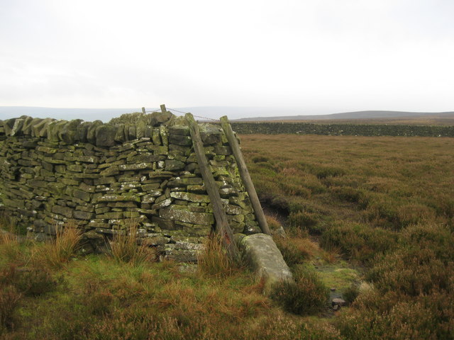
Numerous walking trails crisscross Cow Close Wood, allowing visitors to explore the different sections of the forest. These paths are well-maintained and offer a peaceful and tranquil atmosphere, making it an ideal location for a leisurely stroll or a family picnic.
Wildlife thrives in Cow Close Wood, with sightings of various bird species, including woodpeckers and owls, being common. The wood is also home to small mammals, such as squirrels and hedgehogs, as well as a variety of insects and butterflies.
The management of Cow Close Wood is overseen by a local conservation group, ensuring the preservation and protection of the woodland. Regular maintenance activities, such as tree planting and invasive species control, are carried out to maintain the ecological balance of the forest.
Overall, Cow Close Wood offers a peaceful retreat from the hustle and bustle of daily life, providing visitors with the opportunity to connect with nature and enjoy the beauty of Yorkshire's countryside.
If you have any feedback on the listing, please let us know in the comments section below.
Cow Close Wood Images
Images are sourced within 2km of 54.10962/-1.7688817 or Grid Reference SE1568. Thanks to Geograph Open Source API. All images are credited.


Cow Close Wood is located at Grid Ref: SE1568 (Lat: 54.10962, Lng: -1.7688817)
Division: West Riding
Administrative County: North Yorkshire
District: Harrogate
Police Authority: North Yorkshire
What 3 Words
///makeup.provider.dome. Near Pateley Bridge, North Yorkshire
Nearby Locations
Related Wikis
Wath-in-Nidderdale
Wath, sometimes known as Wath-in-Nidderdale to distinguish it from other places named Wath, is a village in the Harrogate district of North Yorkshire,...

Wath-in-Nidderdale railway station
Wath-in-Nidderdale railway station, was one of two intermediate stations on the Nidd Valley Light Railway, in Wath-in-Nidderdale, Yorkshire, England. The...
Heathfield, North Yorkshire
Heathfield is a hamlet in the civil parish of Stonebeck Down in upper Nidderdale, in North Yorkshire, England. It lies on a broad terrace on the west...

Gouthwaite Reservoir
Gouthwaite Reservoir is in Nidderdale, North Yorkshire, England. It is one of many reservoirs in the area, others include Roundhill Reservoir and Angram...
Six Dales Trail
The Six Dales Trail is a long distance footpath in North Yorkshire, England, with a short section in West Yorkshire. It is 38 miles (61 km) long and connects...
Nidderdale High School
Nidderdale High School is a coeducational secondary school located in Pateley Bridge, North Yorkshire, England. The school is named after Nidderdale, one...
Pateley Bridge railway station (Nidd Valley Light Railway)
Pateley Bridge railway station (NVLR) was a railway station serving the southern terminus of the Nidd Valley Light Railway, in Pateley Bridge, North Yorkshire...

High and Low Bishopside
High and Low Bishopside is a civil parish in Nidderdale in the Harrogate district, in the county of North Yorkshire, England. It includes the town of Pateley...
Have you been to Cow Close Wood?
Leave your review of Cow Close Wood below (or comments, questions and feedback).