Dark Coppice
Wood, Forest in Gloucestershire Cotswold
England
Dark Coppice

Dark Coppice is a stunning wood located in Gloucestershire, England. Covering an area of approximately 100 acres, it is a prime example of a well-preserved ancient woodland. The forest is characterized by its dense canopy of trees, creating a mysterious and enchanting atmosphere for visitors.
The wood is primarily composed of native tree species such as oak, beech, and ash, which have thrived in this area for centuries. These tall and majestic trees provide a vital habitat for a variety of wildlife, including birds, insects, and small mammals. The forest floor is adorned with a rich carpet of wildflowers, ferns, and mosses, adding to the wood's natural beauty.
Dark Coppice is a popular destination for nature enthusiasts, hikers, and photographers. Its well-maintained trails offer visitors the opportunity to explore the wood's diverse flora and fauna. The serene ambiance and peaceful surroundings make it an ideal spot for those seeking solace and tranquility in nature.
The wood is also steeped in history and folklore. It is believed to have been used for charcoal production during medieval times, hence its name "Coppice." The ancient trees and remnants of charcoal kilns serve as a reminder of this past industry.
Dark Coppice is an important site for conservation and is managed by local authorities to preserve its natural heritage. It provides a valuable resource for environmental education and research, allowing visitors to learn about the importance of woodlands in maintaining biodiversity.
Overall, Dark Coppice is a captivating and ecologically significant woodland that offers a unique experience for anyone wishing to immerse themselves in the beauty of nature.
If you have any feedback on the listing, please let us know in the comments section below.
Dark Coppice Images
Images are sourced within 2km of 52.06929/-1.7807015 or Grid Reference SP1541. Thanks to Geograph Open Source API. All images are credited.


Dark Coppice is located at Grid Ref: SP1541 (Lat: 52.06929, Lng: -1.7807015)
Administrative County: Gloucestershire
District: Cotswold
Police Authority: Gloucestershire
What 3 Words
///elated.smothered.pine. Near Chipping Campden, Gloucestershire
Nearby Locations
Related Wikis
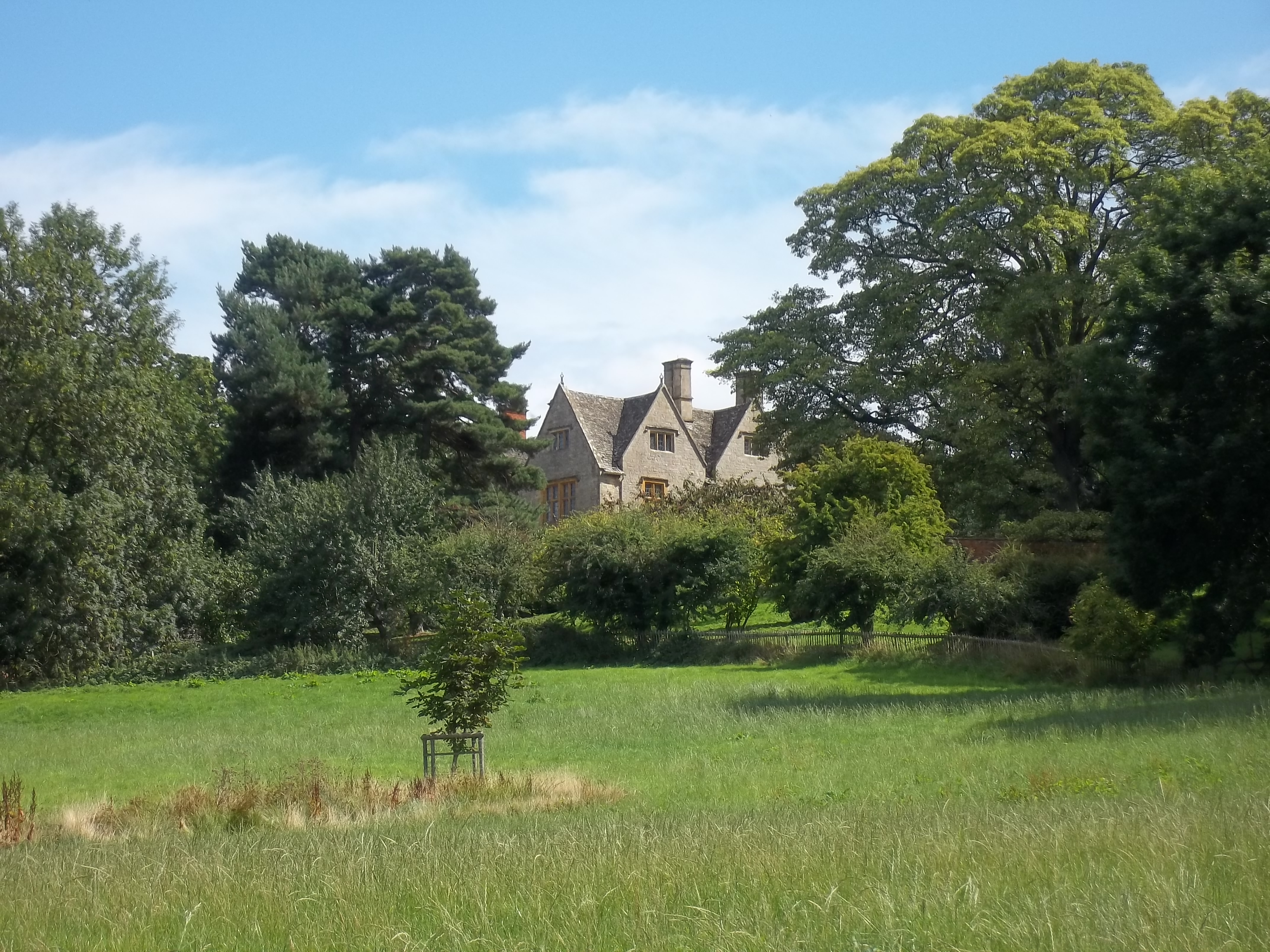
Burnt Norton (house)
Burnt Norton is a manor house in Aston-sub-Edge, near Chipping Campden, Gloucestershire, best known for being the inspiration for T. S. Eliot's poem of...

Campden Tunnel Gravel Pit
Campden Tunnel Gravel Pit (grid reference SP161408) is a 0.2-hectare (0.49-acre) geological Site of Special Scientific Interest in Gloucestershire, notified...

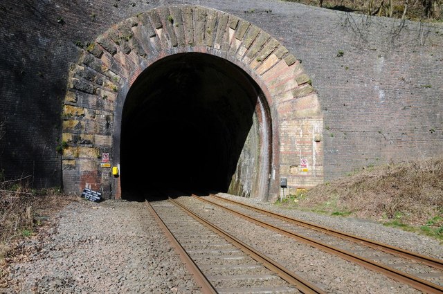
Mickleton Halt railway station
Mickleton Halt was a railway station on the Great Western Railway line between Oxford and Worcester Shrub Hill to serve Mickleton and the surrounding villages...
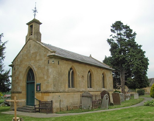
Aston-sub-Edge
Aston Subedge (also written Aston-sub-Edge) is a village and civil parish in the Cotswold district of Gloucestershire, England, close by the border with...
Chipping Campden School
Chipping Campden School is a non-selective secondary school and sixth form with academy status located in Chipping Campden, in the English county of Gloucestershire...

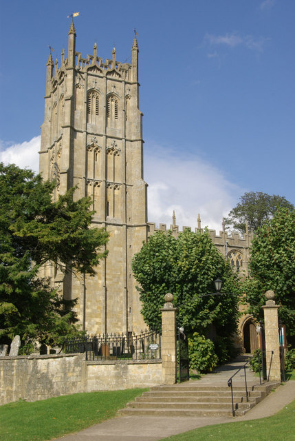
Church of St James, Chipping Campden
The Anglican Church of St James at Chipping Campden in the Cotswold District of Gloucestershire, England was built in the 15th century incorporating an...
Ernest Wilson Memorial Garden
Ernest Wilson Memorial Garden is located at the north eastern edge of Chipping Campden in Gloucestershire, England, in an area of the High Street known...
Chipping Campden
Chipping Campden is a market town in the Cotswold district of Gloucestershire, England. It is notable for its terraced High Street, dating from the 14th...
Nearby Amenities
Located within 500m of 52.06929,-1.7807015Have you been to Dark Coppice?
Leave your review of Dark Coppice below (or comments, questions and feedback).