Aubone Plantation

Wood, Forest in Northumberland

England

Aubone Plantation

Gorfen Letch Taken from the adjacent square because this looked like a private drive which lead only to the house. Half of the driveway and house are in the square.
Gorfen Letch Credit: Christine Westerback

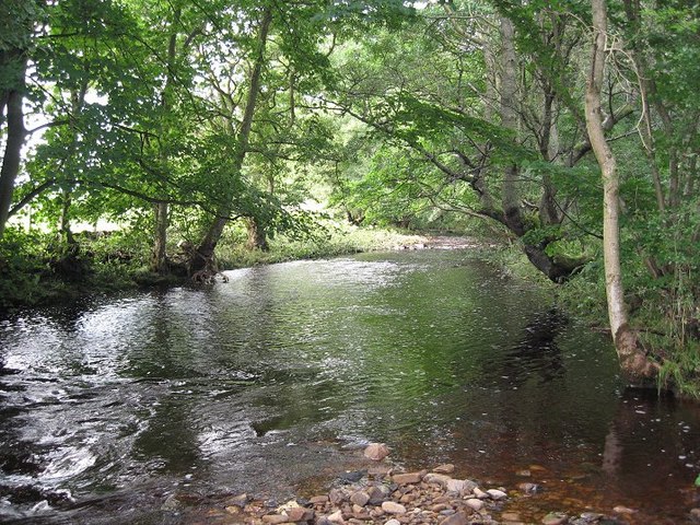
Aubone Plantation is a picturesque woodland area located in the county of Northumberland, in the northeast of England. Covering an expansive area of lush greenery, the plantation is known for its dense forest and diverse range of trees and plants.

The woodland is predominantly made up of native species such as oak, beech, and ash, which create a thriving ecosystem and provide a habitat for a wide variety of wildlife. The forest floor is adorned with an array of vibrant wildflowers, adding a splash of color to the scenery.

Aubone Plantation offers a tranquil retreat for nature enthusiasts and outdoor lovers. Its well-maintained walking trails wind through the woodland, allowing visitors to explore the enchanting surroundings at their own pace. The trails are suitable for all levels of fitness and offer opportunities for hiking, jogging, or simply enjoying a leisurely stroll.

The plantation also features several picnic areas, perfect for those looking to enjoy a peaceful meal amidst the natural beauty. Families often visit the plantation to take advantage of the open spaces, which provide ample room for children to play and explore.

Aubone Plantation is open to the public year-round, with the changing seasons offering a different experience each visit. From the vibrant foliage in the autumn to the fresh blooms in the spring, there is always something captivating to see in this Northumberland woodland. Overall, Aubone Plantation is a hidden gem, offering a serene escape from the hustle and bustle of everyday life.

If you have any feedback on the listing, please let us know in the comments section below.

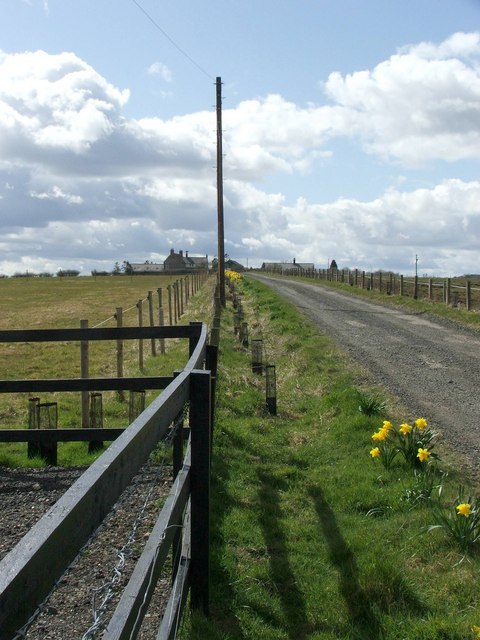
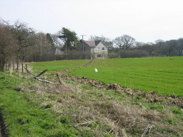
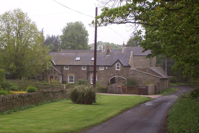
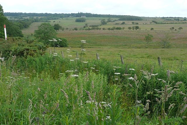
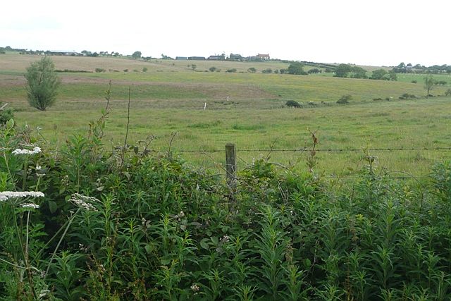
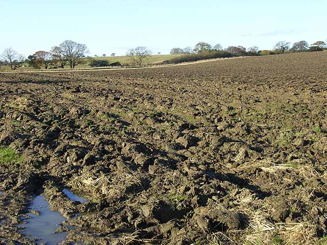
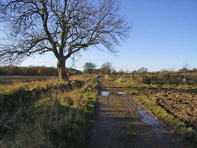
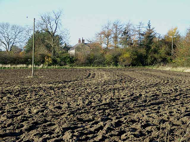
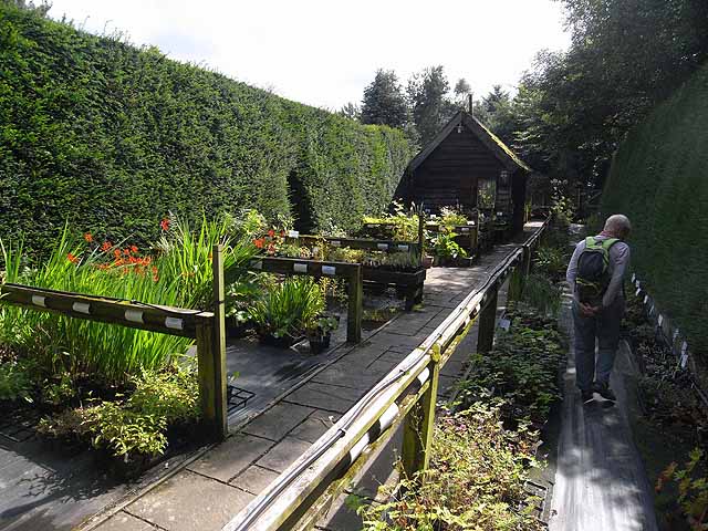
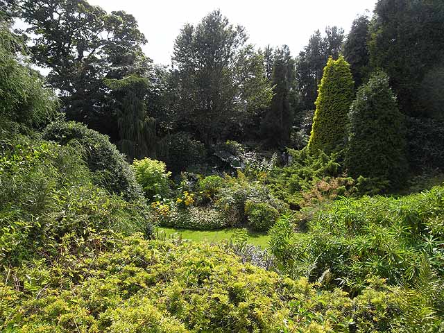
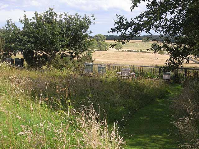
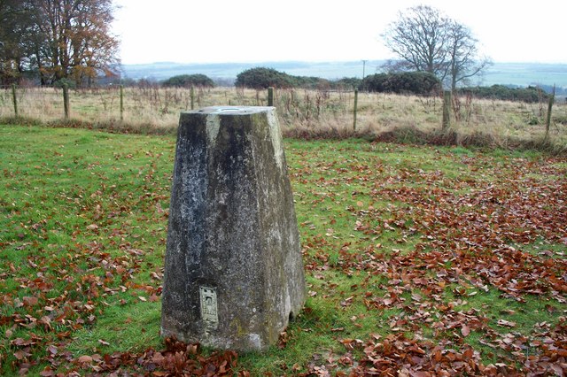
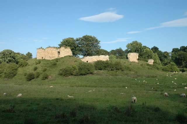
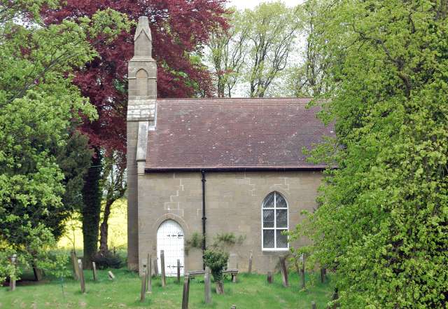
Aubone Plantation Images

Images are sourced within 2km of 55.198738/-1.7654679 or Grid Reference NZ1589. Thanks to Geograph Open Source API. All images are credited.

Gorfen Letch Taken from the adjacent square because this looked like a private drive which lead only to the house. Half of the driveway and house are in the square.
Gorfen Letch
Taken from the adjacent square because this looked like a private drive which lead only to the house. Half of the driveway and house are in the square.
The Oaks
The Oaks
Townhead Farm, Stanton
West of Gorfenletch From the minor road crossing the south-west corner of the square and looking north.  Harelaw is the building just to the right of the second line of low trees.
West of Gorfenletch
From the minor road crossing the south-west corner of the square and looking north. Harelaw is the building just to the right of the second line of low trees.
South of Gorfenletch From the minor road in the south-west of the square.  Gorfenletch cattle barn is the low building above the tree to the left.  The prominent building on the hill is Gorfenletch Farmhouse.  The farm was sold in lots between 2001 and 2006.
South of Gorfenletch
From the minor road in the south-west of the square. Gorfenletch cattle barn is the low building above the tree to the left. The prominent building on the hill is Gorfenletch Farmhouse. The farm was sold in lots between 2001 and 2006.
Ploughed field at Abshield Recently ploughed field in autumn.
Ploughed field at Abshield
Recently ploughed field in autumn.
Farm road from Abshields to Berryhill Although just a farm road, carries the status of a public road, theoretically open to all traffic.
Farm road from Abshields to Berryhill
Although just a farm road, carries the status of a public road, theoretically open to all traffic.
Abshields Farm Looking across a freshly-ploughed field.
Abshields Farm
Looking across a freshly-ploughed field.
Entrance to Bide-a-Wee Cottage Gardens The entrance and plant sales area of Bide-a-Wee Cottage Gardens <span class="nowrap"><a title="http://www.bideawee.co.uk/" rel="nofollow ugc noopener" href="http://www.bideawee.co.uk/">Link</a><img style="margin-left:2px;" alt="External link" title="External link - shift click to open in new window" src="https://s1.geograph.org.uk/img/external.png" width="10" height="10"/></span> , an impressive and immaculately kept garden open to the public two afternoons a week.
Entrance to Bide-a-Wee Cottage Gardens
The entrance and plant sales area of Bide-a-Wee Cottage Gardens LinkExternal link , an impressive and immaculately kept garden open to the public two afternoons a week.
Bide-a-Wee Cottage Gardens Bide-a-Wee Cottage Gardens <span class="nowrap"><a title="http://www.bideawee.co.uk/" rel="nofollow ugc noopener" href="http://www.bideawee.co.uk/">Link</a><img style="margin-left:2px;" alt="External link" title="External link - shift click to open in new window" src="https://s1.geograph.org.uk/img/external.png" width="10" height="10"/></span> , an impressive and immaculately kept garden open to the public two afternoons a week. The gardens have been developed on the site of a former quarry over the course of the last twenty five years.
Bide-a-Wee Cottage Gardens
Bide-a-Wee Cottage Gardens LinkExternal link , an impressive and immaculately kept garden open to the public two afternoons a week. The gardens have been developed on the site of a former quarry over the course of the last twenty five years.
Beehives at Bide-a-Wee Cottage Gardens Tucked away beyond the visitor area of Bide-a-Wee Cottage Gardens, these beehives overlook open farmland.
Beehives at Bide-a-Wee Cottage Gardens
Tucked away beyond the visitor area of Bide-a-Wee Cottage Gardens, these beehives overlook open farmland.
The Trig' point at Beacon Hill. Overlooking the view to the south.
The Trig' point at Beacon Hill.
Overlooking the view to the south.
Seat with a view at Beacon Hill
Old piece of agricultural equipment A disused cattle Crush
Old piece of agricultural equipment
A disused cattle Crush
Cow shed
Cow shed
Gas Installation
Gas Installation
Fence Burn A tributary of the River Font.
Fence Burn
A tributary of the River Font.
Country road by Stantonfence A fine display of autumn leaf colour.
Country road by Stantonfence
A fine display of autumn leaf colour.
Show me another place!

Aubone Plantation is located at Grid Ref: NZ1589 (Lat: 55.198738, Lng: -1.7654679)

Unitary Authority: Northumberland

Police Authority: Northumbria

What 3 Words

///hatter.kitchens.washroom. Near Longhorsley, Northumberland

Related Wikis

Nearby Amenities

Located within 500m of 55.198738,-1.7654679
Todd Hill
Place: locality
Lat/Long: 55.1993211/-1.7617741
The data included in this document is from www.openstreetmap.org. The data is made available under ODbL.

Have you been to Aubone Plantation?

Leave your review of Aubone Plantation below (or comments, questions and feedback).