Big Peg's Wood

Wood, Forest in Staffordshire East Staffordshire

England

Big Peg's Wood

Signpost on the Manifold Way Approaching Coldwall Bridge with the River Dove currently over to the left.
Signpost on the Manifold Way Credit: Bill Boaden

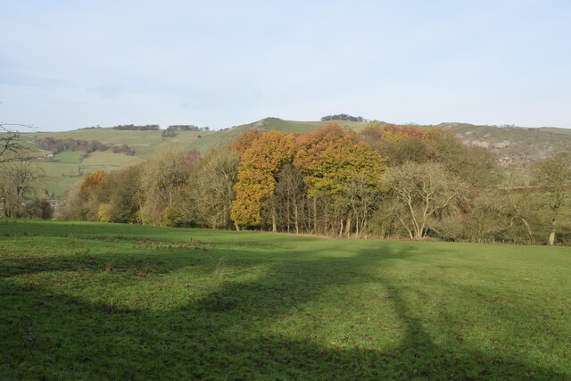
Big Peg's Wood is a picturesque woodland located in Staffordshire, England. Covering an area of approximately 100 acres, the woodland is known for its natural beauty and diverse range of flora and fauna. It is situated on the outskirts of the historic town of Stafford, making it easily accessible for both locals and tourists alike.

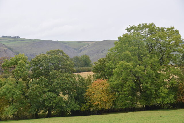
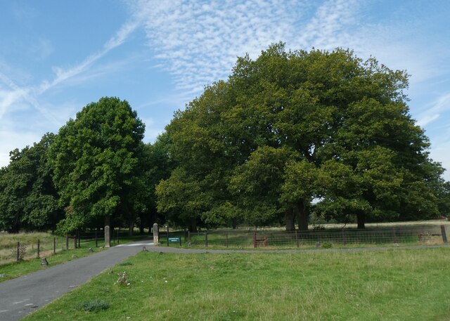
The wood is characterized by its dense canopy of towering oak, beech, and ash trees, creating a tranquil and serene atmosphere. The forest floor is covered in a thick carpet of bluebells during the springtime, adding a splash of color to the landscape. Additionally, wildflowers such as primroses and wood anemones can be found throughout the wood.

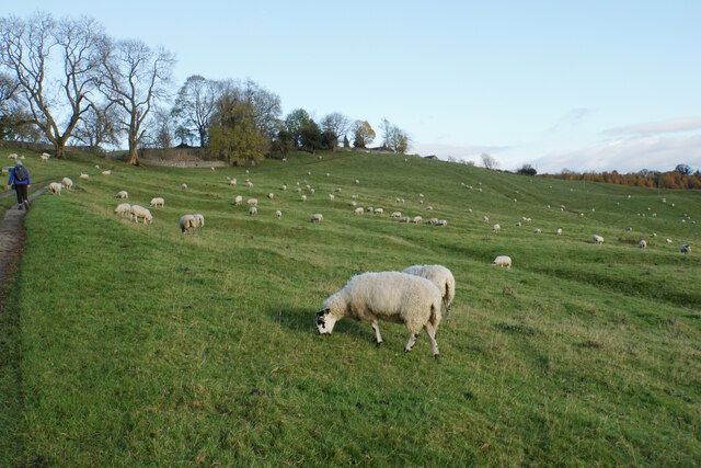
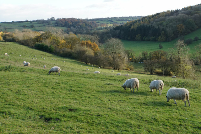
Big Peg's Wood is home to a variety of wildlife, making it a popular spot for nature enthusiasts and birdwatchers. Visitors may be lucky enough to catch a glimpse of deer, foxes, badgers, and a wide range of bird species, including woodpeckers, owls, and various songbirds.

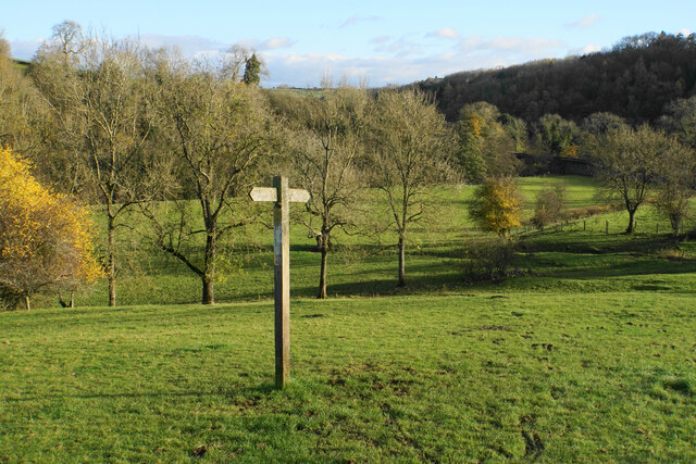
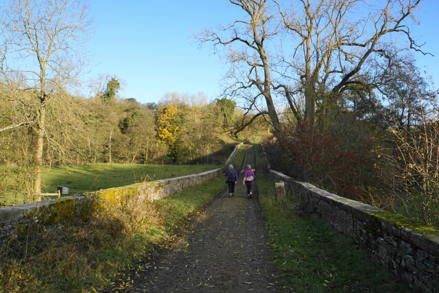
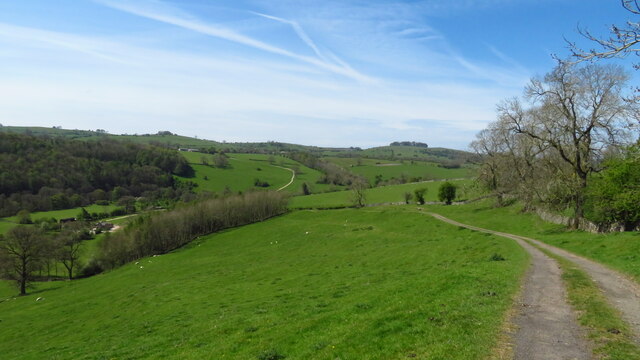
The woodland offers several walking trails, allowing visitors to explore the beauty of the area at their own pace. These paths wind through the trees, providing opportunities for peaceful walks and nature photography. There are also designated picnic areas, where visitors can take a break and enjoy a meal amidst the tranquility of the wood.

Overall, Big Peg's Wood is a hidden gem in Staffordshire, providing a haven for those seeking solace in nature. Its natural beauty, diverse wildlife, and peaceful atmosphere make it a must-visit destination for anyone looking to escape the hustle and bustle of everyday life.

If you have any feedback on the listing, please let us know in the comments section below.

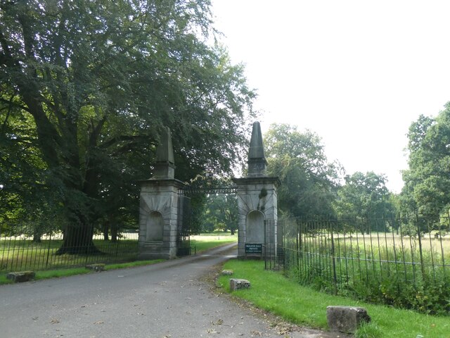
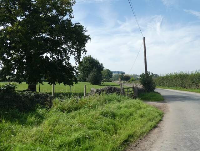
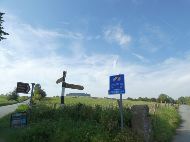
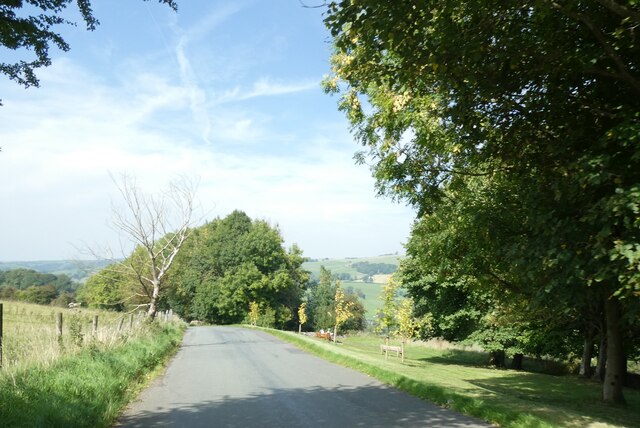
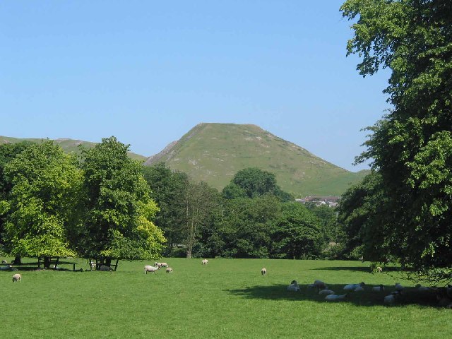
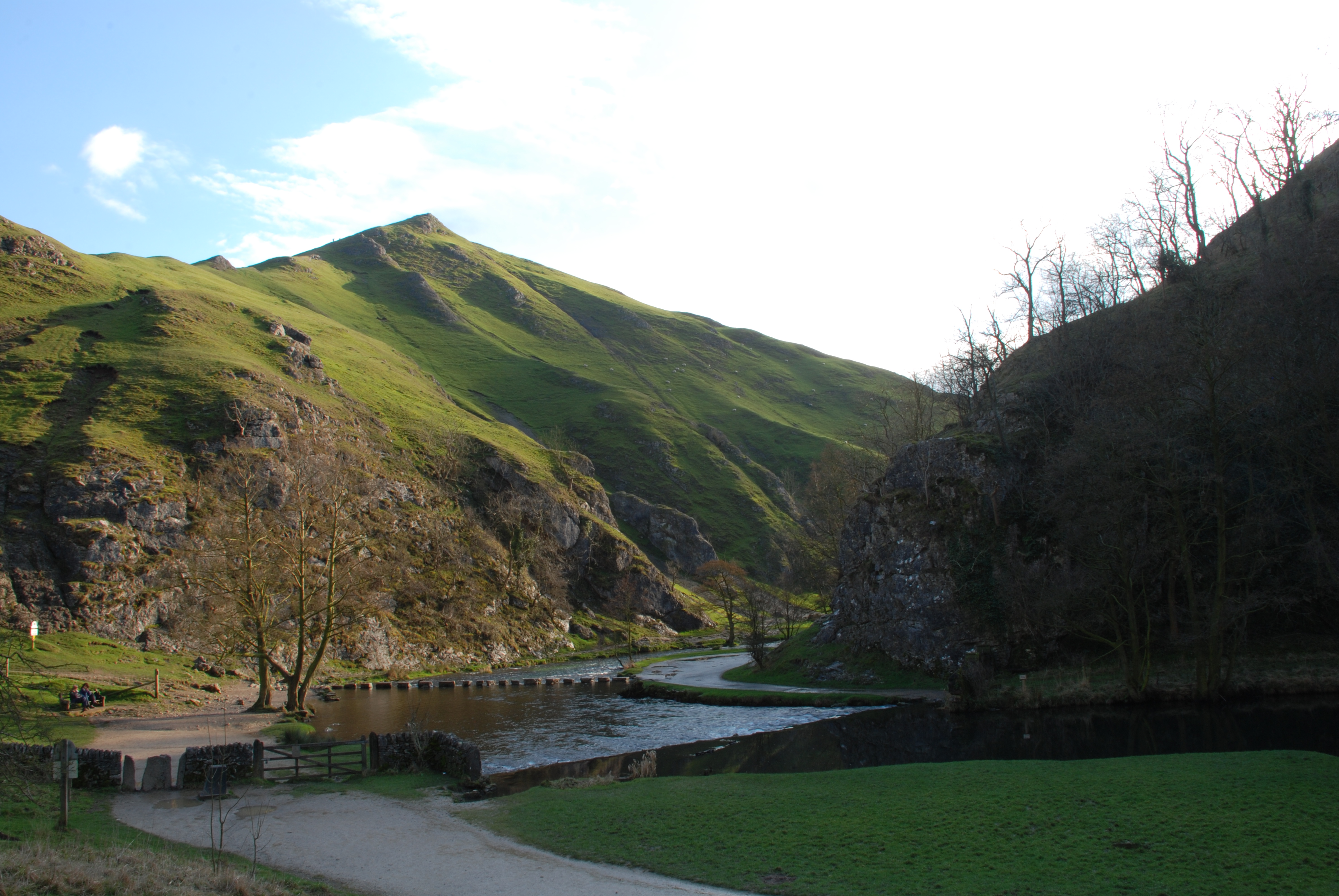
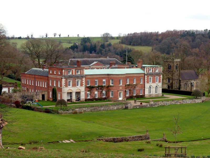
Big Peg's Wood Images

Images are sourced within 2km of 53.042616/-1.7773961 or Grid Reference SK1549. Thanks to Geograph Open Source API. All images are credited.

Signpost on the Manifold Way Approaching Coldwall Bridge with the River Dove currently over to the left.
Signpost on the Manifold Way
Approaching Coldwall Bridge with the River Dove currently over to the left.
Track onto Coldwall Bridge Part of the Limestone Way which will cross the River Dove.
Track onto Coldwall Bridge
Part of the Limestone Way which will cross the River Dove.
Sheep-dotted hillside The Limestone Way climbs a farm track on the left to the village of Thorpe which is at the top of the hill.
Sheep-dotted hillside
The Limestone Way climbs a farm track on the left to the village of Thorpe which is at the top of the hill.
Sheep above the River Dove Looking down the valley from a hillside near Thorpe.
Sheep above the River Dove
Looking down the valley from a hillside near Thorpe.
Autumn view from Blore Pastures  Taken from Blore Pastures Picnic site looking across towards Bunster Hill and the mouth of Dovedale.
Autumn view from Blore Pastures
Taken from Blore Pastures Picnic site looking across towards Bunster Hill and the mouth of Dovedale.
Benchmark, Coldwall Bridge Detail of the Ordnance Survey rivet benchmark on the north parapet of Coldwall Bridge. The rivet is missing and the cut arrow is unusually elaborate. The benchmark is located on the county boundary of Staffordshire and Derbyshire, it marks a height of 135.0173m above mean sea level (Ordnance Datum Newlyn) last verified in 1949 (location photograph <a href="https://www.geograph.org.uk/photo/7326506">SK1449 : Boundary stone, Coldwall Bridge</a>).
Benchmark, Coldwall Bridge
Detail of the Ordnance Survey rivet benchmark on the north parapet of Coldwall Bridge. The rivet is missing and the cut arrow is unusually elaborate. The benchmark is located on the county boundary of Staffordshire and Derbyshire, it marks a height of 135.0173m above mean sea level (Ordnance Datum Newlyn) last verified in 1949 (location photograph SK1449 : Boundary stone, Coldwall Bridge).
Milepost, Coldwall Lane This Grade II listed stone milepost, still bearing its cast iron plate reading Cheadle 11, was erected following construction of the Blythe Marsh, Oakamoor to Thorpe turnpike road.  Turnpike trusts had a legal obligation to erect milestones or mileposts along all roads for which they were responsible.
This section of the road, now in places only used as a farm track, fell into disuse as early motor vehicles struggled with the gradients, road users preferring to use alternative routes.
Milepost, Coldwall Lane
This Grade II listed stone milepost, still bearing its cast iron plate reading Cheadle 11, was erected following construction of the Blythe Marsh, Oakamoor to Thorpe turnpike road. Turnpike trusts had a legal obligation to erect milestones or mileposts along all roads for which they were responsible. This section of the road, now in places only used as a farm track, fell into disuse as early motor vehicles struggled with the gradients, road users preferring to use alternative routes.
Boundary stone, Coldwall Bridge Coldwall Bridge carried the Blythe Marsh, Oakamoor to Thorpe turnpike road over the River Dove.  The county boundary between Staffordshire and Derbyshire which follows the centre of the River is marked by the projecting boundary stone, upon the top of which is an Ordnance Survey rivet benchmark (detail photograph <a href="https://www.geograph.org.uk/photo/7087421">SK1449 : Benchmark, Coldwall Bridge</a>).
This section of the turnpike road, now in places only used as a farm track, fell into disuse as early motor vehicles struggled with the gradients, road users preferring to use alternative routes.
Boundary stone, Coldwall Bridge
Coldwall Bridge carried the Blythe Marsh, Oakamoor to Thorpe turnpike road over the River Dove. The county boundary between Staffordshire and Derbyshire which follows the centre of the River is marked by the projecting boundary stone, upon the top of which is an Ordnance Survey rivet benchmark (detail photograph SK1449 : Benchmark, Coldwall Bridge). This section of the turnpike road, now in places only used as a farm track, fell into disuse as early motor vehicles struggled with the gradients, road users preferring to use alternative routes.
View towards Dove Dale  Taken from the picnic area on Blore Pasture.
View towards Dove Dale
Taken from the picnic area on Blore Pasture.
Track leading down to Coldwall Bridge from Thorpe
Old Milestone by Ilam-Moor Lane, west of Blore Stone post (plate lost) by the UC road, Ilam-Moor Lane, in parish of Blore with Swinscoe (Staffordshire Moorlands District), West of Blore cross-roads, on grass verge, on South side of road. Cheadle iron plate, erected by the Cheadle to Butterton Moor (District of Cheadle) turnpike trust in the 19th century. 

Inscription once read:-
(CHEADLE)
(10)

Staffordshire HER.
HER Number: 20672 <span class="nowrap"><a title="https://www.heritagegateway.org.uk/Gateway/Results_Single.aspx?uid=MST5936&resourceID=1010" rel="nofollow ugc noopener" href="https://www.heritagegateway.org.uk/Gateway/Results_Single.aspx?uid=MST5936&resourceID=1010">Link</a><img style="margin-left:2px;" alt="External link" title="External link - shift click to open in new window" src="https://s1.geograph.org.uk/img/external.png" width="10" height="10"/></span>

Milestone Society National ID: ST_CDBM10
Old Milestone by Ilam-Moor Lane, west of Blore
Stone post (plate lost) by the UC road, Ilam-Moor Lane, in parish of Blore with Swinscoe (Staffordshire Moorlands District), West of Blore cross-roads, on grass verge, on South side of road. Cheadle iron plate, erected by the Cheadle to Butterton Moor (District of Cheadle) turnpike trust in the 19th century. Inscription once read:- (CHEADLE) (10) Staffordshire HER. HER Number: 20672 LinkExternal link Milestone Society National ID: ST_CDBM10
Gateposts on road to Okeover Hall
Ornate gates of Okeover Hall
Road up Yerley Hill
Road up Yerley Hill
Flat road at the top of Yerley Hill
Verge and field gate near Coldwall Farm
An addendum to the road sign, near Blore Hall Unsuitable for HGVs on the original sign, with the addition "And coaches"; presumably in the past some coach drivers thought that they could use the road
An addendum to the road sign, near Blore Hall
Unsuitable for HGVs on the original sign, with the addition "And coaches"; presumably in the past some coach drivers thought that they could use the road
Road across Blore Pastures
Show me another place!

Big Peg's Wood is located at Grid Ref: SK1549 (Lat: 53.042616, Lng: -1.7773961)

Administrative County: Staffordshire

District: East Staffordshire

Police Authority: Staffordshire

What 3 Words

///reforming.distanced.decreased. Near Ashbourne, Derbyshire

Related Wikis

Nearby Amenities

Located within 500m of 53.042616,-1.7773961
Ele: 149.1290283
Lat/Long: 53.0460096/-1.7751266
Barrier: stile
Material: stone
Source: survey;gps
Stile: squeezer
Lat/Long: 53.0443047/-1.7780581
Barrier: stile
Material: wood
Source: survey;gps
Stile: stepover
Lat/Long: 53.0444596/-1.7730006
Barrier: stile
Lat/Long: 53.0435356/-1.7799645
Barrier: stile
Lat/Long: 53.0437102/-1.7732639
Barrier: stile
Material: stone
Source: survey;gps
Stile: squeezer
Lat/Long: 53.0446396/-1.7805949
Barrier: stile
Material: wood
Source: survey;gps
Stile: stepover
Lat/Long: 53.0446557/-1.7808667
Barrier: stile
Material: stone
Source: survey;gps
Stile: squeezer
Lat/Long: 53.044695/-1.7806468
Bench
Backrest: yes
Lat/Long: 53.0449123/-1.7786808
Historic: milestone
Lat/Long: 53.0448845/-1.7778499
The data included in this document is from www.openstreetmap.org. The data is made available under ODbL.

Have you been to Big Peg's Wood?

Leave your review of Big Peg's Wood below (or comments, questions and feedback).