Churchyard Copse

Wood, Forest in Gloucestershire Cotswold

England

Churchyard Copse

Bunker's Hill, Farmington Near the head of the Sherborne Brook, with the valley seen from the Monarch's Way on footpath KFA 7/1.
Bunker's Hill, Farmington Credit: Derek Harper

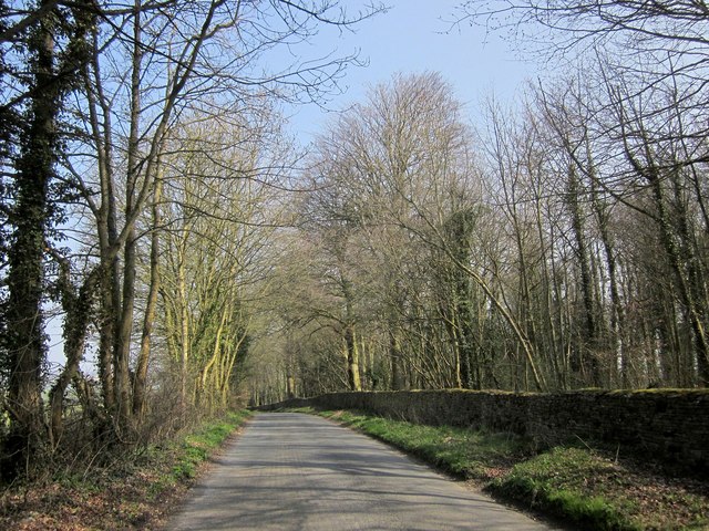
Churchyard Copse is a picturesque woodland located in Gloucestershire, England. Nestled between the rolling hills of the Cotswolds, this enchanting forest covers an area of approximately 20 acres. It is a popular destination for nature lovers, hikers, and birdwatchers alike.

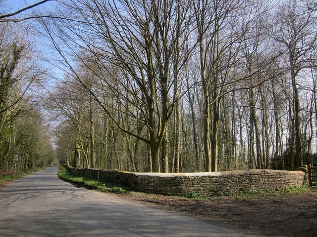
The copse is characterized by a diverse array of tree species, including oak, beech, and ash. These towering trees provide a lush canopy, creating a cool and serene atmosphere within the woodland. The forest floor is covered with a rich carpet of moss, ferns, and wildflowers, adding to its natural beauty.

Tranquil pathways wind their way through Churchyard Copse, allowing visitors to explore the woodland at their own pace. As one ventures deeper into the forest, they may come across a small stream, gently trickling through the undergrowth. This babbling brook adds a soothing soundtrack to the already peaceful surroundings.

The copse is also home to a variety of wildlife. Bird species such as woodpeckers, thrushes, and nuthatches can be spotted flitting among the branches, while small mammals like squirrels and rabbits scurry through the underbrush. In spring, the forest is alive with the sound of chirping birds and the scent of blooming flowers.

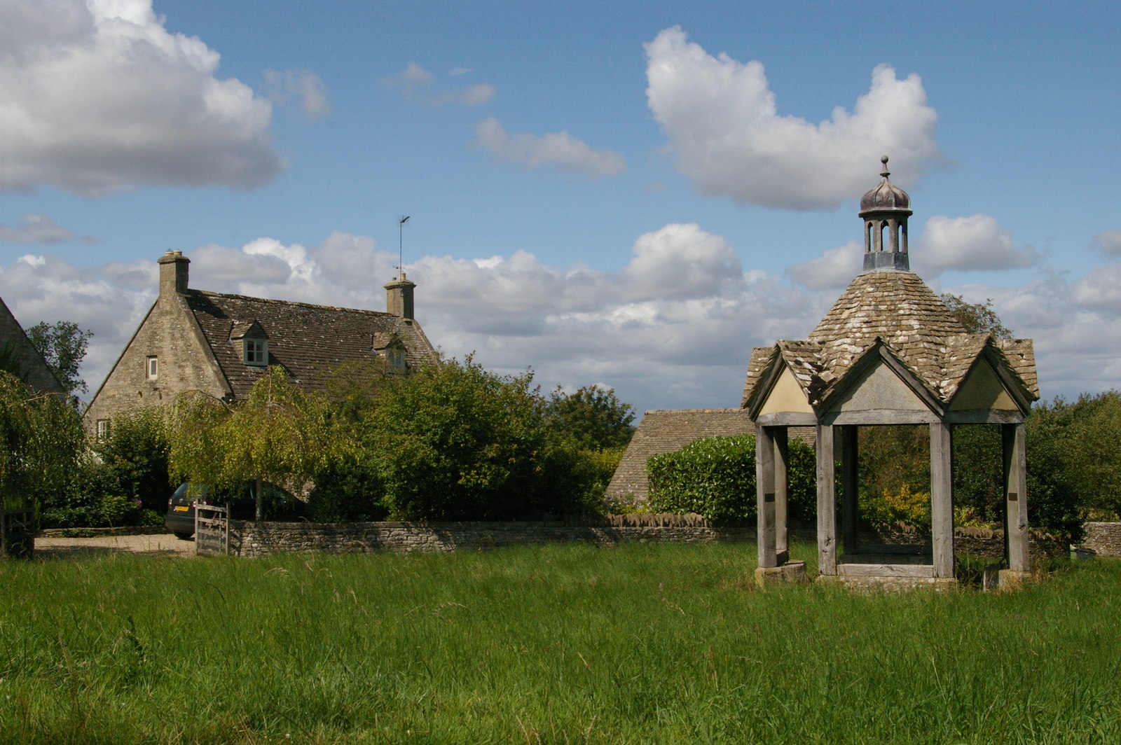
Churchyard Copse holds historical significance as well, with an old churchyard located on its edge. This ancient burial ground dates back to the medieval period and adds a touch of mystery to the woodland. It serves as a reminder of the copse's long-standing connection to the local community.

Overall, Churchyard Copse is a captivating woodland that offers a tranquil escape from the hustle and bustle of everyday life. Its natural beauty, diverse flora and fauna, and historical charm make it a must-visit destination for nature enthusiasts in Gloucestershire.

If you have any feedback on the listing, please let us know in the comments section below.

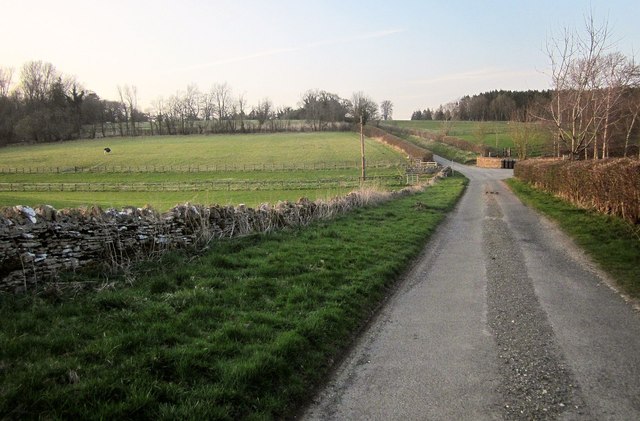
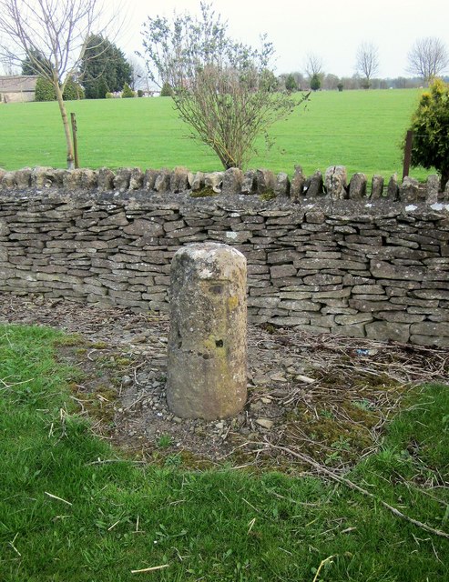
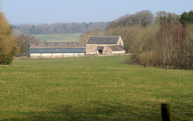
Churchyard Copse Images

Images are sourced within 2km of 51.835414/-1.7862354 or Grid Reference SP1415. Thanks to Geograph Open Source API. All images are credited.

Bunker's Hill, Farmington Near the head of the Sherborne Brook, with the valley seen from the Monarch's Way on footpath KFA 7/1.
Bunker's Hill, Farmington
Near the head of the Sherborne Brook, with the valley seen from the Monarch's Way on footpath KFA 7/1.
Bunker's Hill, Farmington Semi-detached cottages at the end of a cul-de-sac, overlooking the Sherborne Brook valley. The Monarch's Way crosses the footbridge visible here on footpath KFA 7/1.
Bunker's Hill, Farmington
Semi-detached cottages at the end of a cul-de-sac, overlooking the Sherborne Brook valley. The Monarch's Way crosses the footbridge visible here on footpath KFA 7/1.
Sherborne Brook At least, this becomes the Sherborne Brook further downstream; it may have another name in this upper part, but it isn't mapped.
Sherborne Brook
At least, this becomes the Sherborne Brook further downstream; it may have another name in this upper part, but it isn't mapped.
Path near Farmington Footpath KFA 8/2 running a little above the Sherborne Brook. A footpath crossroads is reached when the path gets to the hedge on the left; here the Diamond Way crosses the valley.
Path near Farmington
Footpath KFA 8/2 running a little above the Sherborne Brook. A footpath crossroads is reached when the path gets to the hedge on the left; here the Diamond Way crosses the valley.
False Oxlip near the Sherborne Brook By footpath KFA 8/3.
False Oxlip near the Sherborne Brook
By footpath KFA 8/3.
In the Sherborne Brook valley Footpath KFA 8/3 runs along the valley floor. On the right is Folly Copse.
In the Sherborne Brook valley
Footpath KFA 8/3 runs along the valley floor. On the right is Folly Copse.
Culvert, Empshill Farm The Sherborne Brook enters a culvert to take it beneath the lane (between the walls) from Farmington and the farm. Maps suggest it remains below ground for 200 metres. This is on footpath KFA 8/3 which ends at the gate onto the lane ahead.
Culvert, Empshill Farm
The Sherborne Brook enters a culvert to take it beneath the lane (between the walls) from Farmington and the farm. Maps suggest it remains below ground for 200 metres. This is on footpath KFA 8/3 which ends at the gate onto the lane ahead.
Lane to Farmington A lane from the A40, here passing Empshill Farm on the right as it crosses the culverted Sherborne Brook (see <a href="https://www.geograph.org.uk/photo/4667374">SP1314 : Culvert, Empshill Farm</a>).
Lane to Farmington
A lane from the A40, here passing Empshill Farm on the right as it crosses the culverted Sherborne Brook (see SP1314 : Culvert, Empshill Farm).
Farmland near Empshill Copse An April view of the September scene in <a href="https://www.geograph.org.uk/photo/1515265">SP1414 : Cotswold downland near Empshill Copse</a>. On the left is Empshill Copse.
Farmland near Empshill Copse
An April view of the September scene in SP1414 : Cotswold downland near Empshill Copse. On the left is Empshill Copse.
Lane to Farmington Pillars Mature trees line the last 270 metres up to the A40. The pillars can be seen in <a href="https://www.geograph.org.uk/photo/3011531">SP1414 : Road junction near Farmington</a>.
Lane to Farmington Pillars
Mature trees line the last 270 metres up to the A40. The pillars can be seen in SP1414 : Road junction near Farmington.
Farmington Pillars These are gate piers for Farmington Lodge, which is nearly a mile away behind the camera. They give onto the A40, and are C18 <span class="nowrap"><a title="http://list.historicengland.org.uk/resultsingle.aspx?uid=1090501&searchtype=mapsearch" rel="nofollow ugc noopener" href="http://list.historicengland.org.uk/resultsingle.aspx?uid=1090501&searchtype=mapsearch">Link</a><img style="margin-left:2px;" alt="External link" title="External link - shift click to open in new window" src="https://s1.geograph.org.uk/img/external.png" width="10" height="10"/></span> .
Farmington Pillars
These are gate piers for Farmington Lodge, which is nearly a mile away behind the camera. They give onto the A40, and are C18 LinkExternal link .
Milestone, A40 This circular limestone column dates from the C18 <span class="nowrap"><a title="http://list.historicengland.org.uk/resultsingle.aspx?uid=1090502&searchtype=mapsearch" rel="nofollow ugc noopener" href="http://list.historicengland.org.uk/resultsingle.aspx?uid=1090502&searchtype=mapsearch">Link</a><img style="margin-left:2px;" alt="External link" title="External link - shift click to open in new window" src="https://s1.geograph.org.uk/img/external.png" width="10" height="10"/></span> .
Milestone, A40
This circular limestone column dates from the C18 LinkExternal link .
Field by the A40 Seen from the stretch of the road shown in <a href="https://www.geograph.org.uk/photo/293452">SP1413 : Corner of a field by the A40 at New Barn Farm</a>.
Field by the A40
Seen from the stretch of the road shown in SP1413 : Corner of a field by the A40 at New Barn Farm.
Parish boundary by the A40 Between Sherborne (left) and Farmington, the boundary running along the field boundary.
Parish boundary by the A40
Between Sherborne (left) and Farmington, the boundary running along the field boundary.
Farmland near Radbutt's Corner Seen from the road from Lodge Park.
Farmland near Radbutt's Corner
Seen from the road from Lodge Park.
Road to Sherborne With West Belt, a belt of trees about 60 metres across, alongside on the right. On the left is merely a line of trees.
Road to Sherborne
With West Belt, a belt of trees about 60 metres across, alongside on the right. On the left is merely a line of trees.
The Oranges Farm, Sherborne Farm buildings seen from the road shown in <a href="https://www.geograph.org.uk/photo/4668946">SP1514 : Road to Sherborne</a> through a gap between Teardrop Wood and Stoney Copse.
The Oranges Farm, Sherborne
Farm buildings seen from the road shown in SP1514 : Road to Sherborne through a gap between Teardrop Wood and Stoney Copse.
Road to Sherborne From the same spot as <a href="https://www.geograph.org.uk/photo/4668969">SP1514 : The Oranges Farm, Sherborne</a>, which looks to the left. As with <a href="https://www.geograph.org.uk/photo/4668946">SP1514 : Road to Sherborne</a>, the West Belt on the right continues but is about to narrow, and ends in 150 metres.
Road to Sherborne
From the same spot as SP1514 : The Oranges Farm, Sherborne, which looks to the left. As with SP1514 : Road to Sherborne, the West Belt on the right continues but is about to narrow, and ends in 150 metres.
Show me another place!

Churchyard Copse is located at Grid Ref: SP1415 (Lat: 51.835414, Lng: -1.7862354)

Administrative County: Gloucestershire

District: Cotswold

Police Authority: Gloucestershire

What 3 Words

///stag.clotting.options. Near Northleach, Gloucestershire

Related Wikis

Church of St Peter, Farmington

The Anglican Church of St Peter at Farmington in the Cotswold District of Gloucestershire, England was built in the 12th century. It is a grade I listed...

Farmington, Gloucestershire

Farmington is a village located in the county of Gloucestershire, in England. As of 2011 the village had 112 residents. It is mentioned in the Domesday...

Sherborne House, Gloucestershire

Sherborne House is a large house in the village of Sherborne, Gloucestershire, England. It is a former country house that has been converted into flats...

Eastington, Cotswold

Eastington is a hamlet and former civil parish, now in the parish of Northleach with Eastington, in the Cotswold district, in the English county of Gloucestershire...

Have you been to Churchyard Copse?

Leave your review of Churchyard Copse below (or comments, questions and feedback).