Bittam Copse

Wood, Forest in Gloucestershire Cotswold

England

Bittam Copse

The A40 heading west near Sherborne
The A40 heading west near Sherborne Credit: Steve Daniels

Bittam Copse is a picturesque woodland located in the county of Gloucestershire, England. Situated near the village of Bittam, this enchanting forest covers an area of approximately 40 acres. The copse is primarily composed of native broadleaf trees, such as oak, beech, and birch, which create a diverse and vibrant ecosystem.

The woodland is a popular destination for nature enthusiasts and hikers, offering a tranquil and serene environment. The forest floor is adorned with a rich carpet of bluebells and wildflowers during the spring season, creating a breathtaking sight. The dense canopy provided by the towering trees offers shade and shelter to a variety of wildlife, including squirrels, badgers, and numerous bird species.

Bittam Copse is crossed by a network of well-maintained footpaths and trails, allowing visitors to explore its beauty while enjoying a leisurely walk or a more challenging hike. The paths wind their way through the ancient woodland, offering stunning views of the surrounding countryside and glimpses of the nearby river that runs along the copse.

The woodland is also important for conservation efforts, as it provides a habitat for rare and endangered species. The management of Bittam Copse focuses on preserving its natural beauty while also promoting sustainable forestry practices.

Overall, Bittam Copse is a hidden gem in Gloucestershire, offering visitors a peaceful and immersive experience in a stunning natural setting. Whether one seeks solitude, wildlife spotting, or simply a connection with nature, this wood is a must-visit destination for all nature lovers.

If you have any feedback on the listing, please let us know in the comments section below.
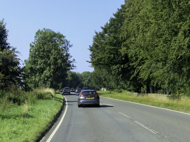
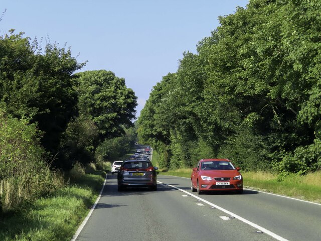
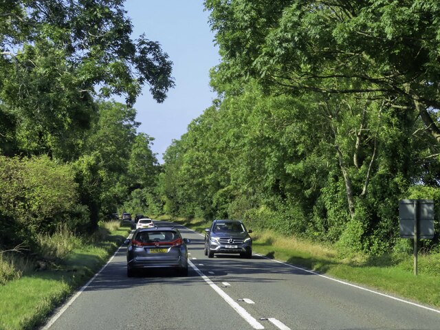
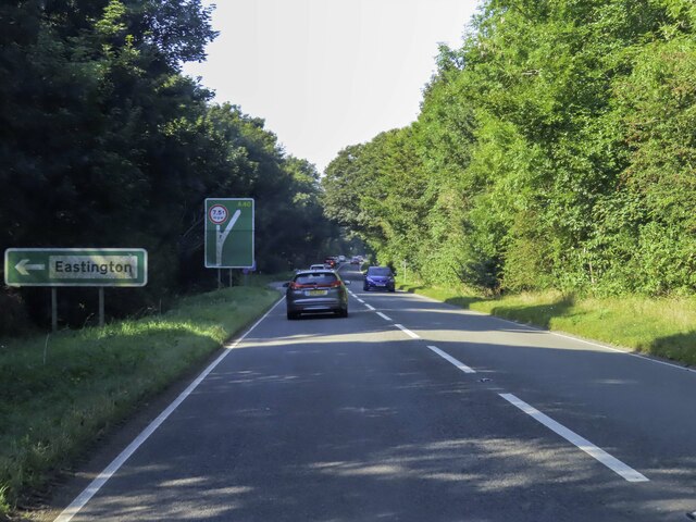
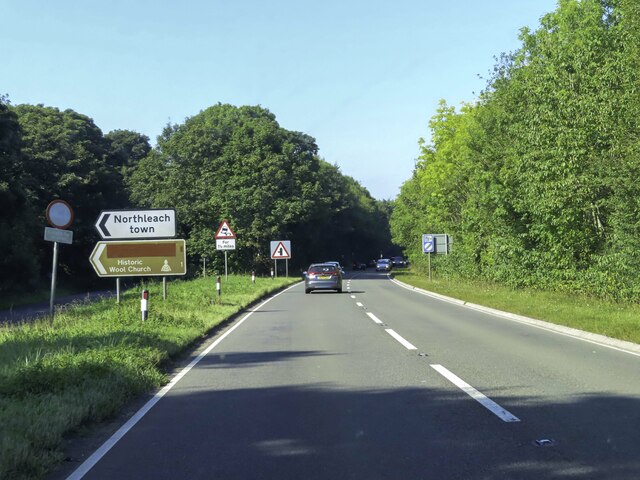
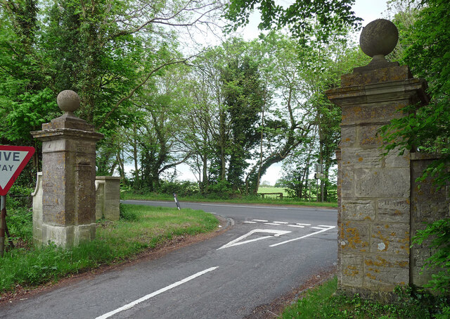
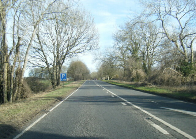
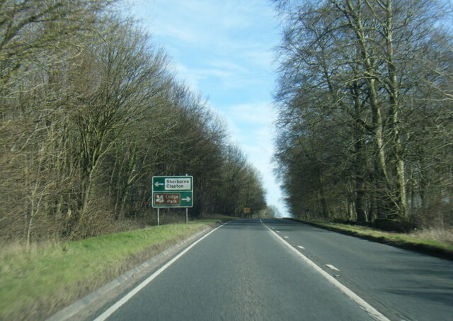
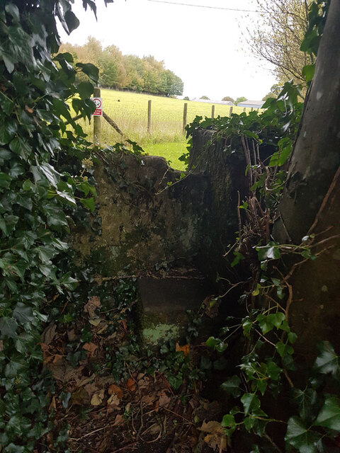
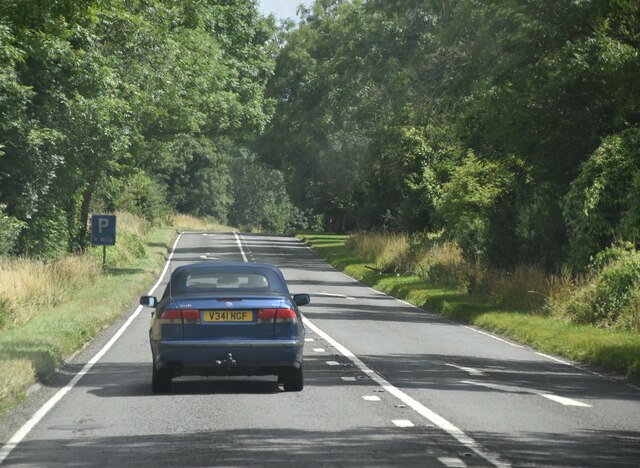
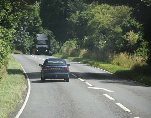
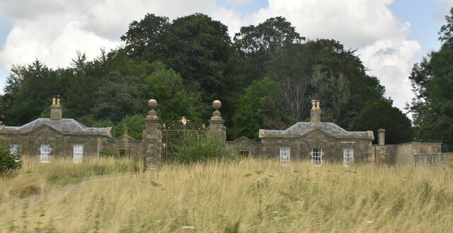
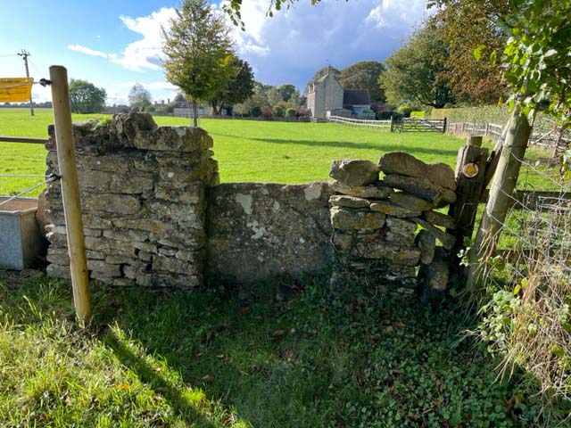
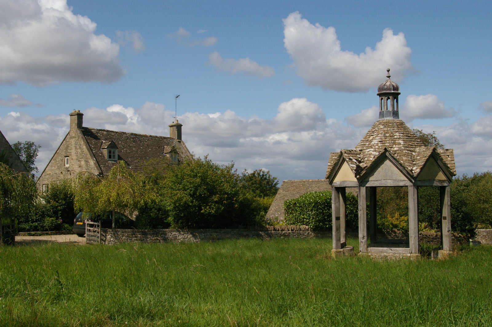
Bittam Copse Images

Images are sourced within 2km of 51.83457/-1.7870086 or Grid Reference SP1415. Thanks to Geograph Open Source API. All images are credited.

The A40 heading west near Sherborne
The A40 heading west near Northleach
Gatepiers near Farmington Mid-C18th, ball finials. South-east of Farmington Lodge. Grade II listed.
Gatepiers near Farmington
Mid-C18th, ball finials. South-east of Farmington Lodge. Grade II listed.
A40 south of Farmington
A40 near New Barn Farm
A40 eastbound at Beech Strip
Stone Stile, Sherborne On the LHS of the entrance to Oranges Farm, on Gloucestershire footpath KSH13, looking SW.
Stone Stile, Sherborne
On the LHS of the entrance to Oranges Farm, on Gloucestershire footpath KSH13, looking SW.
St Peter's church, Farmington Small parish church dating back to the twelfth century <span class="nowrap"><a title="https://historicengland.org.uk/listing/the-list/list-entry/1090503?section=official-list-entry" rel="nofollow ugc noopener" href="https://historicengland.org.uk/listing/the-list/list-entry/1090503?section=official-list-entry">Link</a><img style="margin-left:2px;" alt="External link" title="External link - shift click to open in new window" src="https://s1.geograph.org.uk/img/external.png" width="10" height="10"/></span>
St Peter's church, Farmington
Small parish church dating back to the twelfth century LinkExternal link
A40, eastbound The A40 road runs 256 miles from the City of London to Fishguard. It is a major trunk road and runs through High Wycombe, Oxford, Cheltenham, Ross on Wye, Abergavenny, Llandeilo and Carmarthen.
A40, eastbound
The A40 road runs 256 miles from the City of London to Fishguard. It is a major trunk road and runs through High Wycombe, Oxford, Cheltenham, Ross on Wye, Abergavenny, Llandeilo and Carmarthen.
A40, eastbound
A40, eastbound
Cheltenham Lodges Grade II* listed.
Cheltenham Lodges
Grade II* listed.
St Peter's Church, Farmington
Stone Stile, Farmington On Gloucestershire footpath KFA/3 looking at Farmington Close, the house in the near distance.
The alternative view, East, is <a href="https://www.geograph.org.uk/photo/7635951">SP1315 : Stone Stile, Farmington</a>.
Stone Stile, Farmington
On Gloucestershire footpath KFA/3 looking at Farmington Close, the house in the near distance. The alternative view, East, is SP1315 : Stone Stile, Farmington.
Stone Stile, Farmington On Gloucestershire footpath KFA/3 looking East near "Arrandene".
The alternative view looking at Farmington Close is <a href="https://www.geograph.org.uk/photo/7635948">SP1315 : Stone Stile, Farmington</a>.
Stone Stile, Farmington
On Gloucestershire footpath KFA/3 looking East near "Arrandene". The alternative view looking at Farmington Close is SP1315 : Stone Stile, Farmington.
Show me another place!

Bittam Copse is located at Grid Ref: SP1415 (Lat: 51.83457, Lng: -1.7870086)

Administrative County: Gloucestershire

District: Cotswold

Police Authority: Gloucestershire

What 3 Words

///asteroid.shock.confining. Near Northleach, Gloucestershire

Related Wikis

Have you been to Bittam Copse?

Leave your review of Bittam Copse below (or comments, questions and feedback).