Witton Fell

Wood, Forest in Yorkshire Richmondshire

England

Witton Fell

Path diversion coming? Footpath number 6 in East Witton parish was the subject of an official diversion order when this photo was taken. The path crosses the wall at a stile here and previously went around the sides of a barn, but the building has grown and the current route is through the building.  Diverting the path further along the wall side makes sense as it is the more logical route to the riverside and avoids both the stile and a farm gate [as well as the barn].
Path diversion coming? Credit: Gordon Hatton

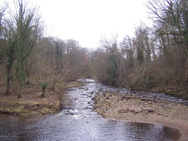
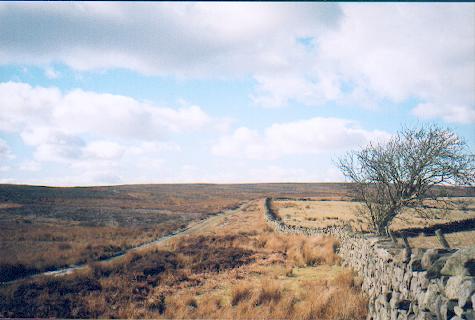
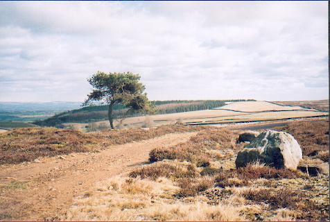
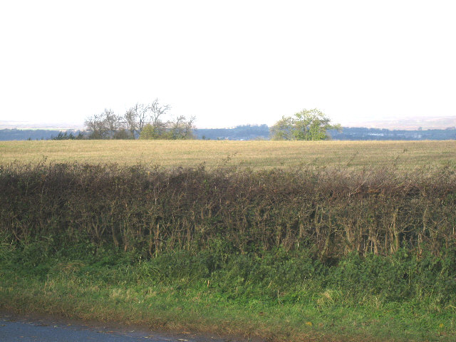
Witton Fell is a picturesque woodland located in the county of Yorkshire, England. Situated near the village of Witton, it covers an area of approximately 100 hectares. The name "Witton" is derived from the Old English words "wudu" and "tun," meaning wood and settlement respectively, highlighting the historical significance of the area as a forested region.

The fell is characterized by its diverse range of trees, including oak, beech, and birch, which create a vibrant and lush environment. The woodland is known for its rich biodiversity, providing a home to various species of flora and fauna. It is particularly renowned for its bird population, with species such as woodpeckers, owls, and warblers frequently spotted in the area.

Witton Fell offers a tranquil escape for nature enthusiasts, providing a range of walking trails and paths that allow visitors to explore the woodland's natural beauty. The well-maintained paths offer stunning views of the surrounding countryside, making it a popular destination for hikers and nature lovers alike.

In addition to its natural beauty, Witton Fell also holds historical significance. The woodland is dotted with remnants of ancient settlements, including burial mounds and enclosures, offering insight into the area's past inhabitants.

Overall, Witton Fell is a captivating woodland in Yorkshire, boasting a diverse range of flora and fauna, breathtaking views, and a rich historical heritage. It is a haven for nature enthusiasts and a place of tranquility and beauty.

If you have any feedback on the listing, please let us know in the comments section below.

Witton Fell Images

Images are sourced within 2km of 54.259121/-1.7909813 or Grid Reference SE1384. Thanks to Geograph Open Source API. All images are credited.

Path diversion coming? Footpath number 6 in East Witton parish was the subject of an official diversion order when this photo was taken. The path crosses the wall at a stile here and previously went around the sides of a barn, but the building has grown and the current route is through the building.  Diverting the path further along the wall side makes sense as it is the more logical route to the riverside and avoids both the stile and a farm gate [as well as the barn].
Path diversion coming?
Footpath number 6 in East Witton parish was the subject of an official diversion order when this photo was taken. The path crosses the wall at a stile here and previously went around the sides of a barn, but the building has grown and the current route is through the building. Diverting the path further along the wall side makes sense as it is the more logical route to the riverside and avoids both the stile and a farm gate [as well as the barn].
Old barn below East Witton The sunny, and lee side of the barn was providing shelter for sheep on this very cold but sunny day. The ruined barn was of interest as it shows how such ruins can become mini refuges for trees and other vegetation away from the nibbling of sheep.
Old barn below East Witton
The sunny, and lee side of the barn was providing shelter for sheep on this very cold but sunny day. The ruined barn was of interest as it shows how such ruins can become mini refuges for trees and other vegetation away from the nibbling of sheep.
The back of the village Looking south along the line of East Witton parish path number 6 as it approaches the back of village houses.
The back of the village
Looking south along the line of East Witton parish path number 6 as it approaches the back of village houses.
Riverbank erosion The Cover has been eroding the bank here and endangering the footpath. The autumn and winter of 2023/4 has seen a succession of floods along Dales rivers and this erosion is probably a result.
Riverbank erosion
The Cover has been eroding the bank here and endangering the footpath. The autumn and winter of 2023/4 has seen a succession of floods along Dales rivers and this erosion is probably a result.
Stepping stones across the Cover After a few days of respite from heavy rain, the dry and frosty conditions has seen water levels drop sufficiently for the stepping stones to be visible - and usable again.
Stepping stones across the Cover
After a few days of respite from heavy rain, the dry and frosty conditions has seen water levels drop sufficiently for the stepping stones to be visible - and usable again.
Witton Fell Taken by the River Ure, this looks south west to Witton Fell. The summit is now well smothered by a plantation - for me, though it marks the entrance of Wensleydale proper.
Witton Fell
Taken by the River Ure, this looks south west to Witton Fell. The summit is now well smothered by a plantation - for me, though it marks the entrance of Wensleydale proper.
River Cover This looks upstream in Woods at Cover Scar, about a mile south of Middleham
River Cover
This looks upstream in Woods at Cover Scar, about a mile south of Middleham
Track over Witton Moor Much of Witton Moor is now open access land, with this track being the best approach.
Track over Witton Moor
Much of Witton Moor is now open access land, with this track being the best approach.
Lonesome Pine, Witton Fell A lonely Scots pine by the shooting track across Witton Fell.
Lonesome Pine, Witton Fell
A lonely Scots pine by the shooting track across Witton Fell.
East Witton View of south side of village green
East Witton
View of south side of village green
Barn Footpath between East Witton and Cover bridge diverts around the barn
Barn
Footpath between East Witton and Cover bridge diverts around the barn
East Witton,  The Church of St John The Evangelist This Church is on the southern boundary of the O/S grid it occupies, slightly to the east of centre.
East Witton, The Church of St John The Evangelist
This Church is on the southern boundary of the O/S grid it occupies, slightly to the east of centre.
The Road To Coverham From East Witton.
The Road To Coverham
From East Witton.
Entering East Witton The Parish Church of East Witton, seen in the background, is dedicated to St. John the Evangelist. It took three years to build, from 1809 to 1812, at the sole expense of Thomas, Earl of Ailesbury, then Lord of the Manor, to celebrate the 50th year of the reign of King George III.
Entering East Witton
The Parish Church of East Witton, seen in the background, is dedicated to St. John the Evangelist. It took three years to build, from 1809 to 1812, at the sole expense of Thomas, Earl of Ailesbury, then Lord of the Manor, to celebrate the 50th year of the reign of King George III.
Sheltering Sheep Since it was neither hot nor wet, it is not clear from what the sheep were trying to shelter under an almost leafless  tree.
Sheltering Sheep
Since it was neither hot nor wet, it is not clear from what the sheep were trying to shelter under an almost leafless tree.
Lower Coverdale Between Coverham and East Witton.
Lower Coverdale
Between Coverham and East Witton.
Between East Witton And Abbey Hill Seen from the A6108 in Coverdale.
Between East Witton And Abbey Hill
Seen from the A6108 in Coverdale.
Waterloo Farm A folded field and a barn beside the A6108.
Waterloo Farm
A folded field and a barn beside the A6108.
Show me another place!

Witton Fell is located at Grid Ref: SE1384 (Lat: 54.259121, Lng: -1.7909813)

Division: North Riding

Administrative County: North Yorkshire

District: Richmondshire

Police Authority: North Yorkshire

What 3 Words

///geologist.clutter.choppy. Near Leyburn, North Yorkshire

Nearby Locations

Witton Fell

Related Wikis

East Witton

East Witton is a village and civil parish in Wensleydale in North Yorkshire, England. It lies south of Leyburn, in the Richmondshire district. Richard...
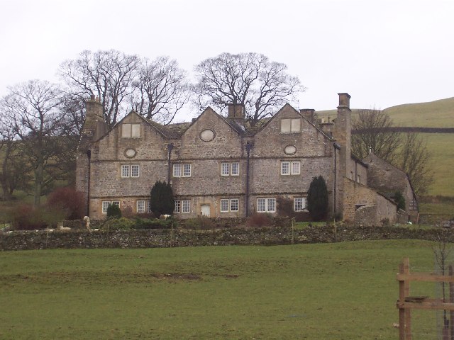
Braithwaite Hall

Braithwaite Hall is a 17th-century manor house in Coverdale in the Yorkshire Dales in England. It lies 1.8 miles (2.9 km) west of the village of East...

River Cover

The River Cover is a river in the Yorkshire Dales in North Yorkshire, England. The Yorkshire Dales Rivers Trust has a remit to conserve the ecological...
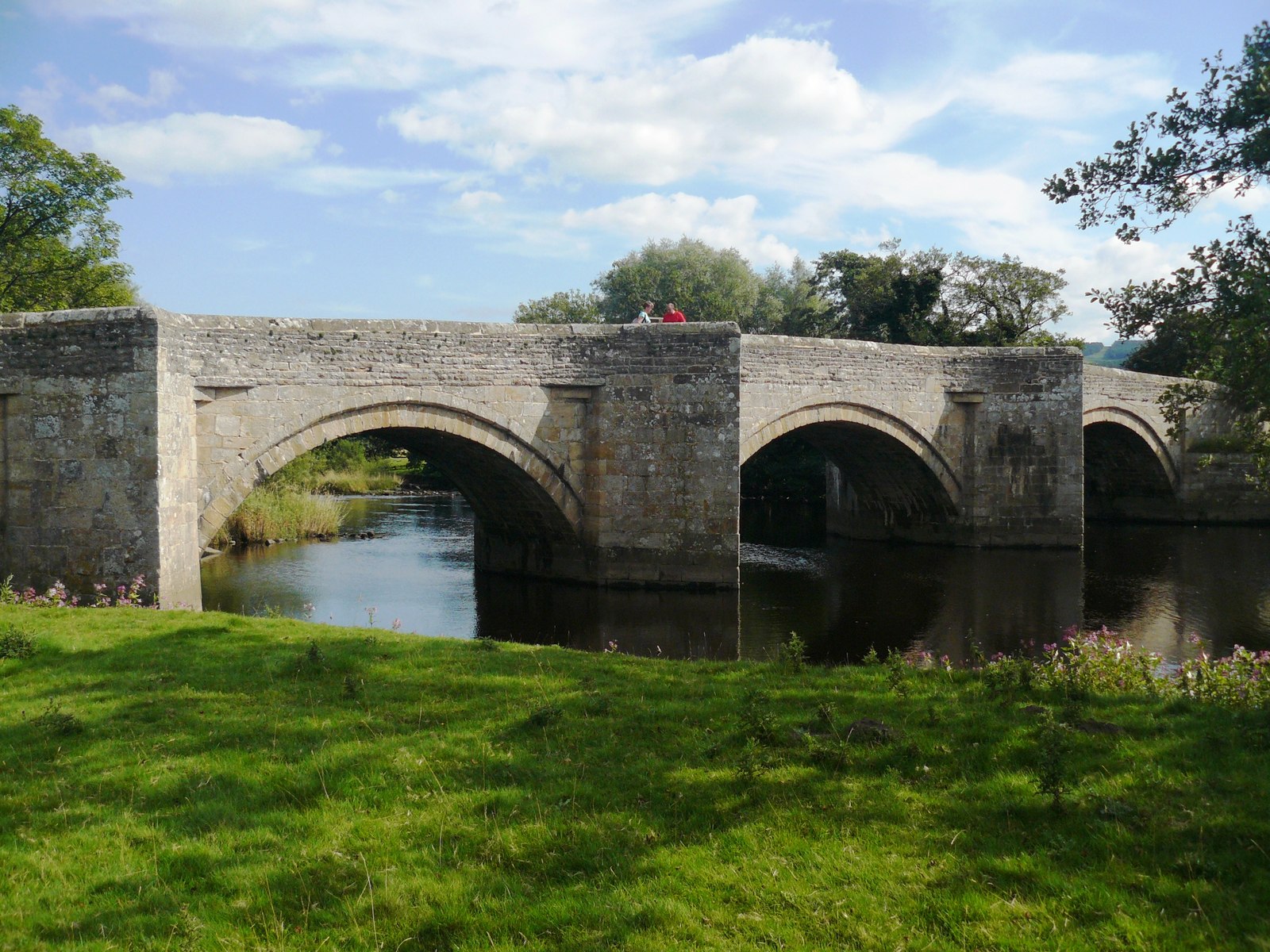
Ulshaw Bridge

Ulshaw Bridge is a hamlet on the River Ure, near to Middleham, in North Yorkshire, England. The hamlet derives its name partly from the Medieval stone...

A6108 road

The A6108 road is an A road in North Yorkshire, England. It runs from the south of Scotch Corner to Ripon going via Richmond and Leyburn across the moors...

Middleham Castle

Middleham Castle is a ruined castle in Middleham in Wensleydale, in the county of North Yorkshire, England. It was built by Robert Fitzrandolph, 3rd Lord...

Middleham

Middleham is a market town and civil parish in the district and county of North Yorkshire, England. It lies in Wensleydale in the Yorkshire Dales, on...

Church of St Mary and St Alkelda, Middleham

The Church of St Mary and St Alkelda is a Church of England parish church in Middleham, Richmondshire, North Yorkshire. The church is a grade I listed...

Have you been to Witton Fell?

Leave your review of Witton Fell below (or comments, questions and feedback).