Four Acre Plantation
Wood, Forest in Derbyshire Derbyshire Dales
England
Four Acre Plantation
Located in the heart of Derbyshire, Four Acre Plantation is a picturesque woodland area covering four acres of land. Situated within close proximity to the bustling town of Derby, this plantation offers a serene and tranquil escape from the urban landscape.
The plantation features a diverse range of tree species, including oak, ash, beech, and birch, creating a rich and vibrant ecosystem. The lush greenery provides an ideal habitat for various wildlife, making it a popular spot for nature enthusiasts and birdwatchers.
Visitors to Four Acre Plantation can enjoy a network of well-maintained walking trails that wind their way through the woodland. These paths offer a chance to immerse oneself in nature, providing opportunities to spot woodland creatures and admire the beautiful flora.
The plantation is also home to a small pond, adding to the charm and natural beauty of the area. Visitors can take a leisurely stroll around the pond, enjoying the peaceful ambiance and perhaps catching glimpses of ducks or other waterfowl.
Four Acre Plantation is easily accessible, with ample parking available for visitors. The plantation is open to the public year-round and offers a range of amenities, including picnic areas and benches for relaxation.
Whether you're seeking a peaceful retreat, a chance to connect with nature, or simply a refreshing walk in the woods, Four Acre Plantation provides a delightful destination. With its stunning scenery and abundant wildlife, it is a true gem in the heart of Derbyshire.
If you have any feedback on the listing, please let us know in the comments section below.
Four Acre Plantation Images
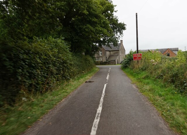
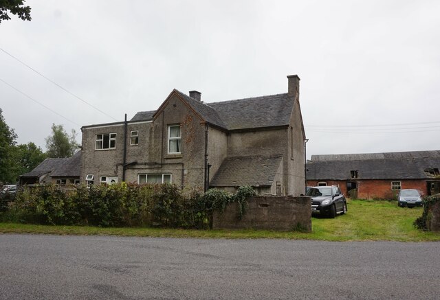
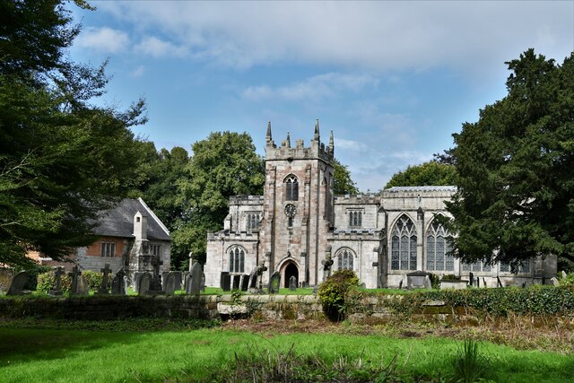
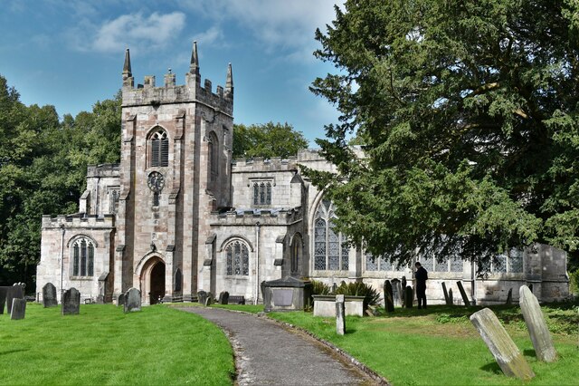
Images are sourced within 2km of 52.974379/-1.8085721 or Grid Reference SK1241. Thanks to Geograph Open Source API. All images are credited.


Four Acre Plantation is located at Grid Ref: SK1241 (Lat: 52.974379, Lng: -1.8085721)
Administrative County: Derbyshire
District: Derbyshire Dales
Police Authority: Derbyshire
What 3 Words
///lamps.departure.baked. Near Mayfield, Staffordshire
Nearby Locations
Related Wikis

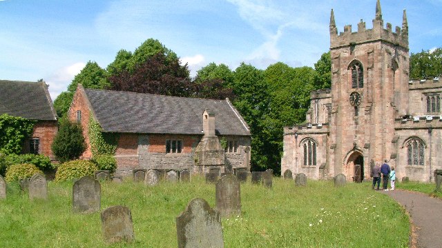
St Mary and St Barlock's Church, Norbury
St Mary and St Barlock's Church, Norbury is a Grade I listed parish church in the Church of England: 289 in Norbury, Derbyshire. == History == The present...
Norbury and Roston
Norbury with Roston is a civil parish in west Derbyshire incorporating the villages of Norbury and Roston. == See also == Listed buildings in Norbury and...
Norbury, Derbyshire
Norbury is a village in Derbyshire, England. It is located 3 miles (4.8 km) north of Rocester, on the B5033 road and the River Dove (which is the traditional...
Norbury Manor
Norbury Manor is a 15th-century Elizabethan manor house and the adjoining 13th-century stone-built medieval hall house, Norbury Hall, known as The Old...

Norbury and Ellaston railway station
Norbury and Ellaston railway station was on a branch of the North Staffordshire Railway between Rocester and Ashbourne. The station, which had a waiting...
Calwich Abbey
Calwich Abbey, previously Calwich Priory, was in turn the name of a medieval Augustinian priory and two successive country houses built on the same site...
Ellastone
Ellastone is a village in the East Staffordshire borough of Staffordshire, in the West Midlands of England. It is on the Staffordshire side of the River...

Anacrehill
Anacrehill is an area of Snelston parish, to the south of the village. The area contains a small number of cottages and farmhouses located on Virginsalley...
Nearby Amenities
Located within 500m of 52.974379,-1.8085721Have you been to Four Acre Plantation?
Leave your review of Four Acre Plantation below (or comments, questions and feedback).