Blackbanks Plantation

Wood, Forest in Durham

England

Blackbanks Plantation

Partridgeclose Mill Bridge over the River Browney Near Partridge Close.
Partridgeclose Mill Bridge over the River Browney Credit: Vivienne Smith

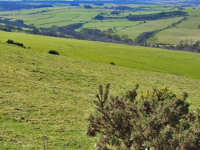
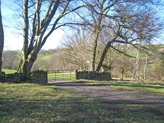
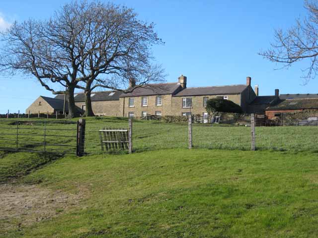
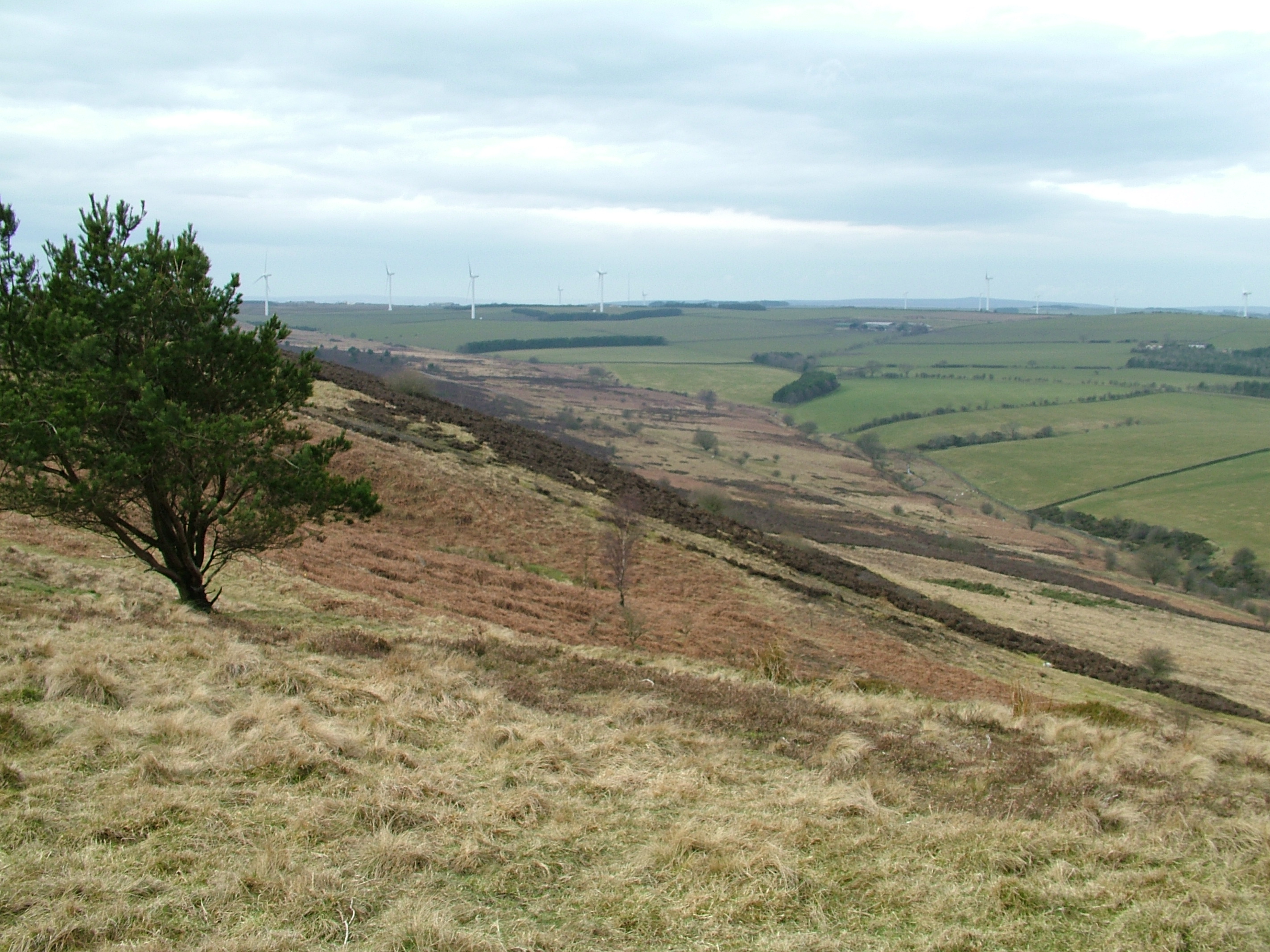
Blackbanks Plantation is a picturesque woodland located in Durham, England. Covering an area of approximately 200 acres, this enchanting forest is a popular destination for nature lovers and outdoor enthusiasts.

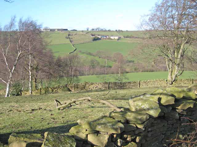
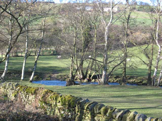
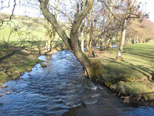
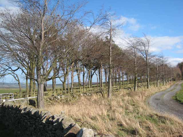
The plantation is characterized by its dense canopy of towering trees, predominantly consisting of oak, beech, and ash. These majestic trees create a serene and tranquil atmosphere, offering a sense of tranquility and escape from the hustle and bustle of everyday life.

As visitors explore the plantation, they will come across a network of well-maintained walking trails that meander through the woods. These paths are perfect for leisurely strolls, family outings, or even more adventurous hikes. The trails are also suitable for cyclists, providing an opportunity to explore the plantation on two wheels.

Wildlife enthusiasts will be delighted to discover an array of animal species that call Blackbanks Plantation their home. From squirrels and rabbits to various species of birds, such as woodpeckers and owls, the plantation provides a haven for diverse wildlife.

Blackbanks Plantation also offers a variety of recreational activities. There are designated picnic areas where visitors can enjoy a meal surrounded by nature's beauty. Additionally, the plantation features a children's play area, providing entertainment for younger visitors.

Overall, Blackbanks Plantation is a captivating woodland that offers a peaceful retreat for individuals seeking solace in nature. With its stunning trees, well-maintained trails, and abundance of wildlife, this enchanting forest is a must-visit destination for nature enthusiasts in Durham.

If you have any feedback on the listing, please let us know in the comments section below.

Blackbanks Plantation Images

Images are sourced within 2km of 54.798825/-1.8000621 or Grid Reference NZ1244. Thanks to Geograph Open Source API. All images are credited.

Partridgeclose Mill Bridge over the River Browney Near Partridge Close.
Partridgeclose Mill Bridge over the River Browney
Near Partridge Close.
Valley of the Pan Burn Looking west from the Tow Law to Cornsay road
Valley of the Pan Burn
Looking west from the Tow Law to Cornsay road
Valley of the River Browney Looking north from a point just east of Cornsay village
Valley of the River Browney
Looking north from a point just east of Cornsay village
Colepike Hall boundary wall The stone pillars once had iron railings between them, doubtless removed and melted down for the war effort.
Colepike Hall boundary wall
The stone pillars once had iron railings between them, doubtless removed and melted down for the war effort.
Satley A remote village in western County Durham. <span class="nowrap"><a title="http://www.durham-pa.gov.uk/durhamcc/K2P.nsf/K2PDetail?readform&PRN=D6873" rel="nofollow ugc noopener" href="http://www.durham-pa.gov.uk/durhamcc/K2P.nsf/K2PDetail?readform&PRN=D6873">Link</a><img style="margin-left:2px;" alt="External link" title="External link - shift click to open in new window" src="https://s1.geograph.org.uk/img/external.png" width="10" height="10"/></span>
Satley
A remote village in western County Durham. LinkExternal link
House near Satley Presumably a converted chapel. In the valley of the Steeley Burn, just below Satley.
House near Satley
Presumably a converted chapel. In the valley of the Steeley Burn, just below Satley.
Browney valley Looking north across the valley to Sunny Brow Cottage on the hillside and East Butsfield on the skyline <a href="https://www.geograph.org.uk/gridref/NZ1145">NZ1145</a>.
Browney valley
Looking north across the valley to Sunny Brow Cottage on the hillside and East Butsfield on the skyline NZ1145.
Beech trees in winter In the floor of the Browney valley.
Beech trees in winter
In the floor of the Browney valley.
The River Browney Sunny Brow Cottage <a href="https://www.geograph.org.uk/gridref/NZ1145">NZ1145</a> can be seen through the trees.
The River Browney
Sunny Brow Cottage NZ1145 can be seen through the trees.
The River Browney The tree-lined watercourse of the upper River Browney, near East Butsfield, looking downstream.
The River Browney
The tree-lined watercourse of the upper River Browney, near East Butsfield, looking downstream.
Sunny Brow Cottage Aptly named. On a steep south-facing bank overlooking the infant River Browney.
Sunny Brow Cottage
Aptly named. On a steep south-facing bank overlooking the infant River Browney.
East Butsfield
East Butsfield
Trees by the roadside at Satley By the B6296 Wolsingham to Lanchester road. Overlooking the valley of the Steeley Burn.
Trees by the roadside at Satley
By the B6296 Wolsingham to Lanchester road. Overlooking the valley of the Steeley Burn.
Green lane at Satley Leading down into the valley of the Steeley Burn.
Green lane at Satley
Leading down into the valley of the Steeley Burn.
Driveway to Hall Hill Farm The trees mark the driveway to Hall Hill Farm, a visitor farm <span class="nowrap"><a title="http://www.hallhillfarm.co.uk" rel="nofollow ugc noopener" href="http://www.hallhillfarm.co.uk">Link</a><img style="margin-left:2px;" alt="External link" title="External link - shift click to open in new window" src="https://s1.geograph.org.uk/img/external.png" width="10" height="10"/></span>.
Driveway to Hall Hill Farm
The trees mark the driveway to Hall Hill Farm, a visitor farm LinkExternal link.
Broadwood Farm
Broadwood Farm
Cottages at Broadwood Farm
Trees at the roadside, Longedge Lane
Show me another place!

Blackbanks Plantation is located at Grid Ref: NZ1244 (Lat: 54.798825, Lng: -1.8000621)

Unitary Authority: County Durham

Police Authority: Durham

What 3 Words

///cure.fatter.manly. Near Lanchester, Co. Durham

Nearby Locations

Blackbanks Plantation

Related Wikis

Hall Hill Farm

Hall Hill Farm is a tourist attraction located in County Durham, near Tow Law, England. == History == Ann Darlington is the current tourism manager at...

Butsfield

Butsfield is a village in County Durham, England. It is situated a few miles to the south of Consett, near the village of Satley. Butsfield Burn Farm is...

Satley

Satley is a village and civil parish in County Durham, England, with a population of 292 in 2001, falling to 282 at the 2011 Census. It is situated six...

Hedleyhope Fell

Hedleyhope Fell is a nature reserve to the north-east of Tow Law, County Durham, England. The reserve is managed by Durham Wildlife Trust and consists...

Nearby Amenities

Located within 500m of 54.798825,-1.8000621
Bus Stop
Partridge Close Road End
Naptan AtcoCode: 13001787B
Naptan Bearing: NE
Naptan CommonName: Partridge Close Road End
Naptan Indicator: north east bound
Naptan Landmark: Landmark not known
Naptan NaptanCode: durajmtd
Naptan Notes: stop not found- assumed location on B6296 10m NE of road leading to Partridge close quarry- durham
Naptan Street: B6296
Naptan Verified: no
Source: naptan_import
Lat/Long: 54.7972974/-1.7974044
Bus Stop
Partridge Close Road End
Naptan AtcoCode: 13001787F
Naptan Bearing: SW
Naptan CommonName: Partridge Close Road End
Naptan Indicator: south west bound
Naptan Landmark: Landmark not known
Naptan NaptanCode: durajmtg
Naptan Notes: stop not found-assumed location on B6296 10m of road leading to Partridge close quarry- durham
Naptan Street: B6296
Naptan Verified: no
Source: naptan_import
Lat/Long: 54.7972522/-1.7972647
Bus Stop
Land House Farm
Naptan AtcoCode: 13001788B
Naptan Bearing: NE
Naptan CommonName: Land House Farm
Naptan Indicator: north east bound
Naptan Landmark: Landmark not known
Naptan NaptanCode: durajmtj
Naptan Notes: stop not found- assumed location on B6296 opposite Land House Farm- durham
Naptan Street: B6296
Naptan Verified: no
Source: naptan_import
Lat/Long: 54.7945011/-1.8020222
Bus Stop
Land House Farm
Naptan AtcoCode: 13001788F
Naptan Bearing: SW
Naptan CommonName: Land House Farm
Naptan Indicator: south west bound
Naptan Landmark: Landmark not known
Naptan NaptanCode: durajmtm
Naptan Notes: assumed location outsite entrance to landhouse farm- durham
Naptan Street: B6296
Naptan Verified: no
Source: naptan_import
Lat/Long: 54.7944469/-1.8018514
Power: pole
Lat/Long: 54.7975044/-1.7930031
Power: pole
Lat/Long: 54.7968736/-1.7938198
Power: pole
Lat/Long: 54.7961182/-1.7947519
Power: pole
Lat/Long: 54.7953397/-1.7958275
The data included in this document is from www.openstreetmap.org. The data is made available under ODbL.

Have you been to Blackbanks Plantation?

Leave your review of Blackbanks Plantation below (or comments, questions and feedback).