Ash Copse

Wood, Forest in Gloucestershire Cotswold

England

Ash Copse

Stone Stile, Bibury Actually in Arlington, the South/West side of Bibury. On Gloucestershire footpath KBY16. This view is looking SW from the farm track (KBY13). The view from the field is <a href="https://www.geograph.org.uk/photo/7060080">SP1106 : Stone Stile, Bibury</a>.
Stone Stile, Bibury Credit: Mr Red

Ash Copse is a charming woodland located in Gloucestershire, England. Situated in the heart of the county, it covers an area of approximately 5 hectares. The copse is part of the larger Forest of Dean, which is renowned for its natural beauty and rich biodiversity.

Ash Copse is predominantly composed of ash trees, which give the woodland its name. The trees stand tall and majestic, forming a dense canopy that provides shade and shelter for an array of wildlife. The forest floor is covered in a thick carpet of lush green vegetation, including ferns, mosses, and wildflowers, adding to the copse's enchanting atmosphere.

The woodland is a haven for various species of birds, such as woodpeckers, thrushes, and owls. It is also home to small mammals like squirrels, badgers, and foxes. As visitors wander through the copse, they may catch glimpses of these creatures going about their daily routines.

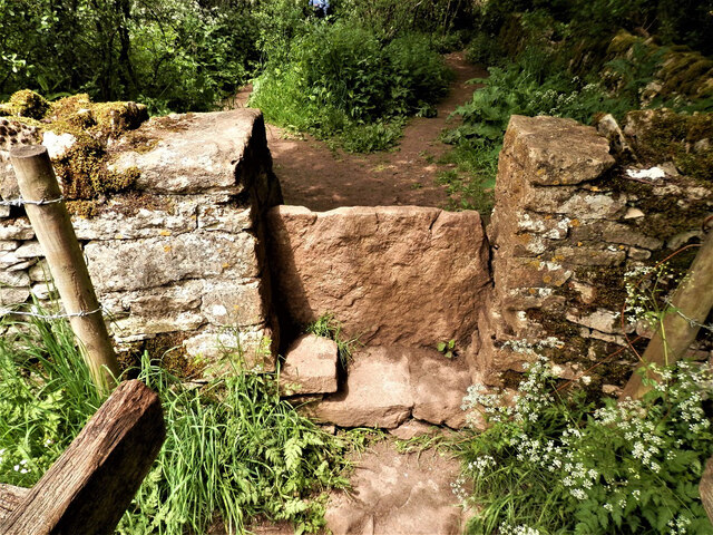
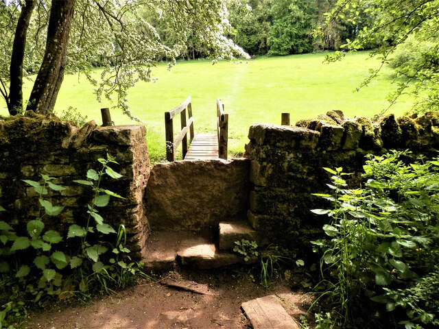
Ash Copse offers a network of well-maintained walking trails, allowing visitors to explore its natural wonders at their own pace. The paths wind through the trees, leading to secluded clearings and tranquil spots where one can sit and soak up the peaceful ambiance.

The copse is open to the public year-round, making it an ideal destination for nature enthusiasts, hikers, and families seeking a day of outdoor adventure. Its proximity to nearby villages and towns makes it easily accessible, while its unspoiled beauty provides a welcome escape from the hustle and bustle of daily life.

In summary, Ash Copse is a picturesque woodland in Gloucestershire, offering visitors a chance to immerse themselves in the beauty of nature. With its towering ash trees, diverse wildlife, and peaceful trails, it is a true gem within the Forest of Dean.

If you have any feedback on the listing, please let us know in the comments section below.
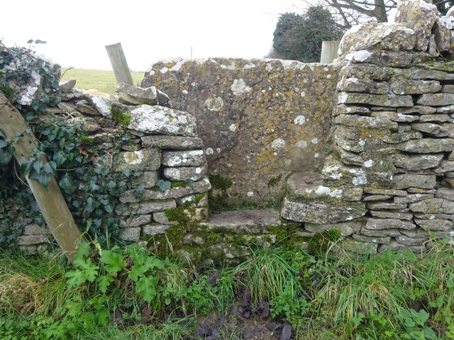
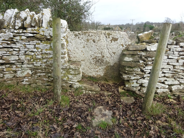
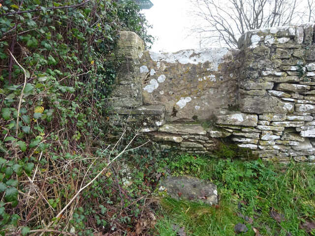
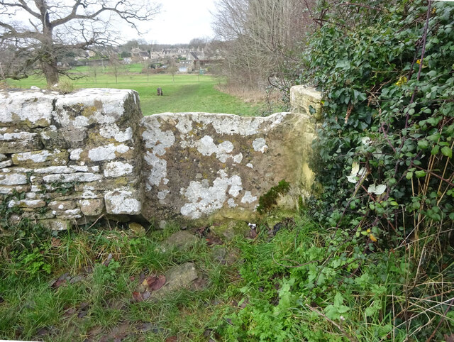
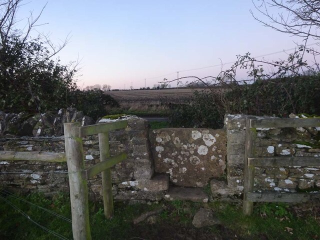
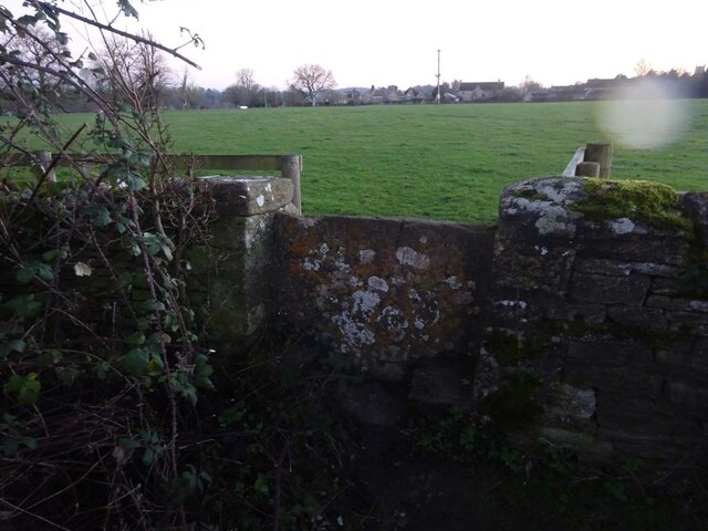
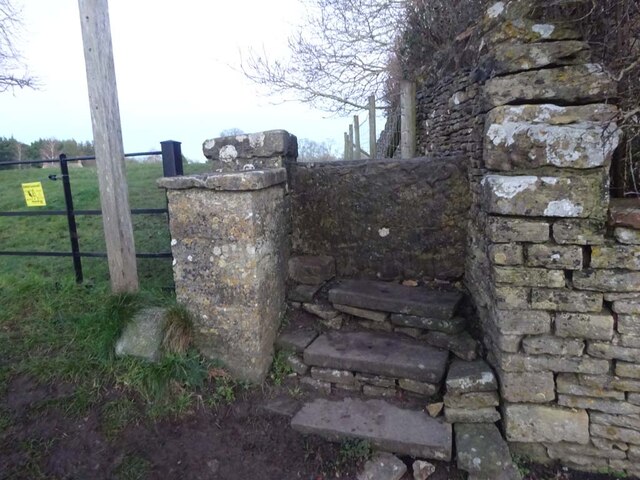
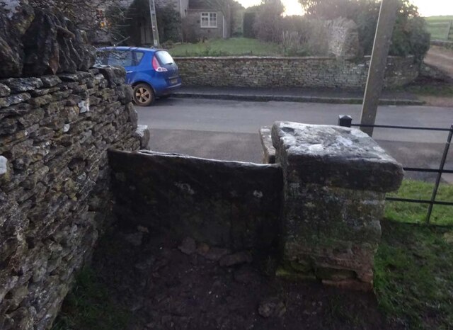
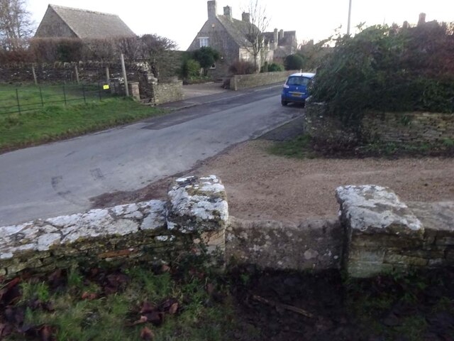
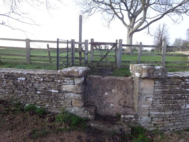
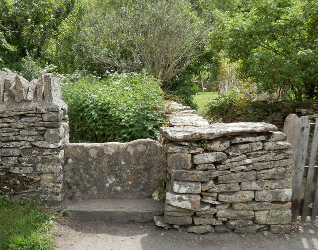
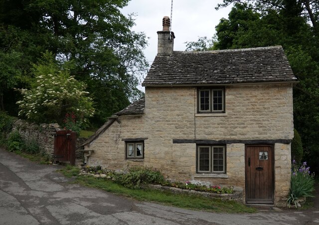
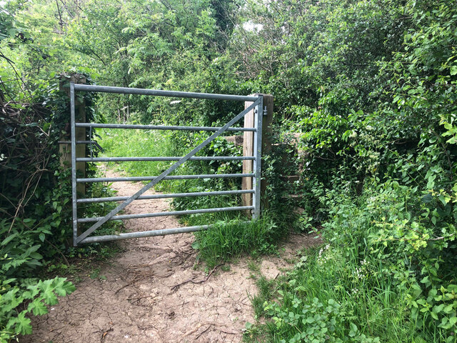
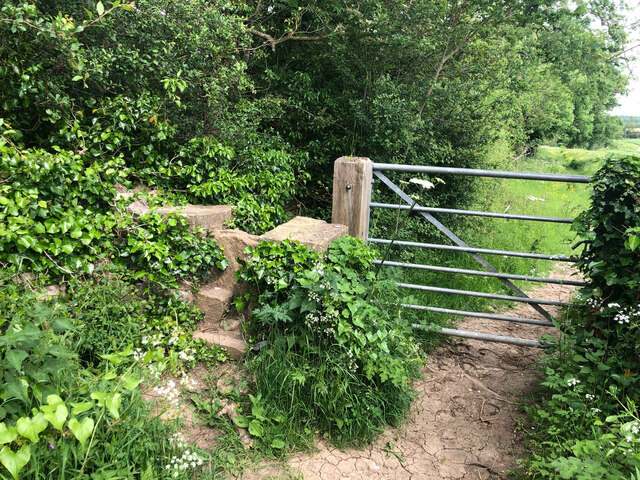
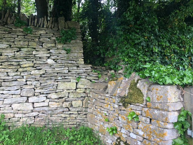
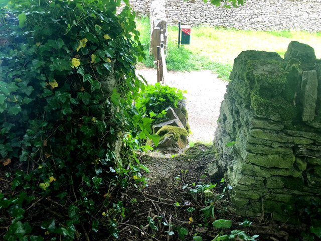
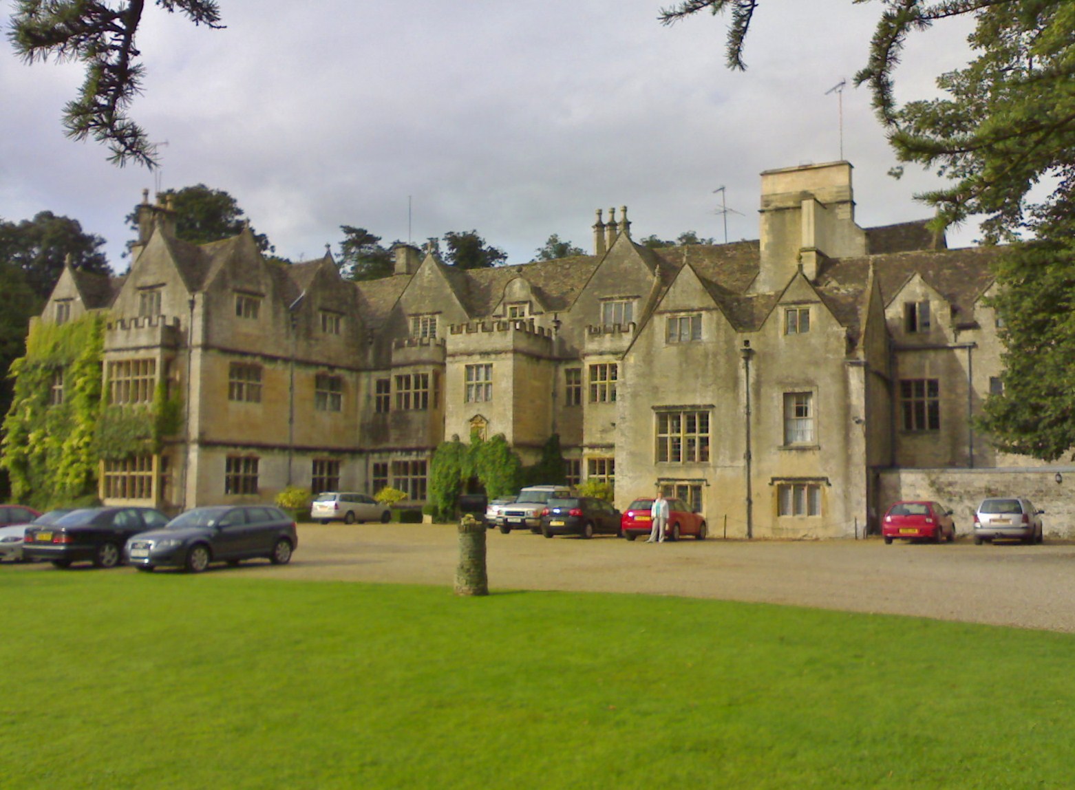
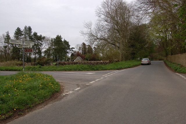
Ash Copse Images

Images are sourced within 2km of 51.747472/-1.818227 or Grid Reference SP1205. Thanks to Geograph Open Source API. All images are credited.

Stone Stile, Bibury Actually in Arlington, the South/West side of Bibury. On Gloucestershire footpath KBY16. This view is looking SW from the farm track (KBY13). The view from the field is <a href="https://www.geograph.org.uk/photo/7060080">SP1106 : Stone Stile, Bibury</a>.
Stone Stile, Bibury
Actually in Arlington, the South/West side of Bibury. On Gloucestershire footpath KBY16. This view is looking SW from the farm track (KBY13). The view from the field is SP1106 : Stone Stile, Bibury.
Stone Stile, Bibury Actually in Arlington, the South/West side of Bibury. On Gloucestershire footpath KBY16. This view is looking NE to the farm track (KBY13). The view from the track is <a href="https://www.geograph.org.uk/photo/7060078">SP1106 : Stone Stile, Bibury</a>.
Stone Stile, Bibury
Actually in Arlington, the South/West side of Bibury. On Gloucestershire footpath KBY16. This view is looking NE to the farm track (KBY13). The view from the track is SP1106 : Stone Stile, Bibury.
Stone Stile, Bibury Looking SE on Gloucestershire footpaths KBY16 & KBY11. The other side, footpath KBY15 runs NE towards the famous Arlington Row that Bibury is noted for. The view from that footpath is <a href="https://www.geograph.org.uk/photo/7060088">SP1106 : Stone Stile, Bibury</a>.
Stone Stile, Bibury
Looking SE on Gloucestershire footpaths KBY16 & KBY11. The other side, footpath KBY15 runs NE towards the famous Arlington Row that Bibury is noted for. The view from that footpath is SP1106 : Stone Stile, Bibury.
Stone Stile, Bibury Looking NW to Gloucestershire footpaths KBY16 & KBY11. This side the footpath KBY15 runs NE towards the famous Arlington Row that Bibury is noted for. The view from the fields is <a href="https://www.geograph.org.uk/photo/7060086">SP1106 : Stone Stile, Bibury</a>.
Stone Stile, Bibury
Looking NW to Gloucestershire footpaths KBY16 & KBY11. This side the footpath KBY15 runs NE towards the famous Arlington Row that Bibury is noted for. The view from the fields is SP1106 : Stone Stile, Bibury.
Stone Stile, Coln St Aldwyns Looking North from the Salt Way to Gloucestershire footpath KCA2. The view looking South is <a href="https://www.geograph.org.uk/photo/7070817">SP1405 : Stone Stile, Coln St Aldwyns</a>.
Stone Stile, Coln St Aldwyns
Looking North from the Salt Way to Gloucestershire footpath KCA2. The view looking South is SP1405 : Stone Stile, Coln St Aldwyns.
Stone Stile, Coln St Aldwyns Looking South to the Salt Way from Gloucestershire footpath KCA2. The view looking North is <a href="https://www.geograph.org.uk/photo/7070813">SP1405 : Stone Stile, Coln St Aldwyns</a>.
Stone Stile, Coln St Aldwyns
Looking South to the Salt Way from Gloucestershire footpath KCA2. The view looking North is SP1405 : Stone Stile, Coln St Aldwyns.
Stone Stile, Coln St Aldwyns Looking East from the road to Bibury and Aldsworth to Gloucestershire footpath KCA3. The view looking West is <a href="https://www.geograph.org.uk/photo/7070825">SP1405 : Stone Stile, Coln St Aldwyns</a>.
Stone Stile, Coln St Aldwyns
Looking East from the road to Bibury and Aldsworth to Gloucestershire footpath KCA3. The view looking West is SP1405 : Stone Stile, Coln St Aldwyns.
Stone Stile, Coln St Aldwyns Looking West to the road to Bibury and Aldsworth from Gloucestershire footpath KCA3. The view looking East is <a href="https://www.geograph.org.uk/photo/7070824">SP1405 : Stone Stile, Coln St Aldwyns</a>.
Stone Stile, Coln St Aldwyns
Looking West to the road to Bibury and Aldsworth from Gloucestershire footpath KCA3. The view looking East is SP1405 : Stone Stile, Coln St Aldwyns.
Stone Stile, Coln St Aldwyns Looking NW to Gloucestershire footpath KCA2 at the entrance to a drive. The view looking SE is <a href="https://www.geograph.org.uk/photo/7070832">SP1405 : Stone Stile, Coln St Aldwyns</a>.
Stone Stile, Coln St Aldwyns
Looking NW to Gloucestershire footpath KCA2 at the entrance to a drive. The view looking SE is SP1405 : Stone Stile, Coln St Aldwyns.
Stone Stile, Coln St Aldwyns Looking SE from Gloucestershire footpath KCA2 at the entrance to a drive. The view looking NW is <a href="https://www.geograph.org.uk/photo/7070831">SP1405 : Stone Stile, Coln St Aldwyns</a>.
Stone Stile, Coln St Aldwyns
Looking SE from Gloucestershire footpath KCA2 at the entrance to a drive. The view looking NW is SP1405 : Stone Stile, Coln St Aldwyns.
Stone Stile, Bibury/Quenington GS2403 On the boundary of Bibury and Quenington with Gloucestershire footpaths KBY13A, BQU3 (left) & BQU2 (right) looking SE. The view looking NW is <a href="https://www.geograph.org.uk/photo/7265278">SP1205 : Stone Stile, Bibury/Quenington GS2403</a>.
Stone Stile, Bibury/Quenington GS2403
On the boundary of Bibury and Quenington with Gloucestershire footpaths KBY13A, BQU3 (left) & BQU2 (right) looking SE. The view looking NW is SP1205 : Stone Stile, Bibury/Quenington GS2403.
Stone Stile, Bibury/Quenington GS2403 On the boundary of Bibury and Quenington with Gloucestershire footpaths KBY13A (background), BQU3 & BQU2, view is looking NW. The view looking SE is <a href="https://www.geograph.org.uk/photo/7265278">SP1205 : Stone Stile, Bibury/Quenington GS2403</a>.
Stone Stile, Bibury/Quenington GS2403
On the boundary of Bibury and Quenington with Gloucestershire footpaths KBY13A (background), BQU3 & BQU2, view is looking NW. The view looking SE is SP1205 : Stone Stile, Bibury/Quenington GS2403.
Stone Stile, Bibury GS2404 Off Awkward Hill (aka Arlington Row, i.e. the houses) on Gloucestershire footpath KBY10 looking South.
Stone Stile, Bibury GS2404
Off Awkward Hill (aka Arlington Row, i.e. the houses) on Gloucestershire footpath KBY10 looking South.
Cottage on Awkward Hill, Bibury
Stone Stile, Bibury On Gloucestershire footpath KBY13, South of Bibury Cricket Ground. Looking NW, the view East is <a href="https://www.geograph.org.uk/photo/7317324">SP1106 : Stone Stile, Bibury</a>.
Stone Stile, Bibury
On Gloucestershire footpath KBY13, South of Bibury Cricket Ground. Looking NW, the view East is SP1106 : Stone Stile, Bibury.
Stone Stile, Bibury On Gloucestershire footpath KBY13, South of Bibury Cricket Ground. Looking East, the view NW is <a href="https://www.geograph.org.uk/photo/7317323">SP1106 : Stone Stile, Bibury</a>.
Stone Stile, Bibury
On Gloucestershire footpath KBY13, South of Bibury Cricket Ground. Looking East, the view NW is SP1106 : Stone Stile, Bibury.
Stone Stile, Bibury A private step stile off Gloucestershire bridleway KBY8 near Bibury Farm and Court Farm. Looking West, the view East from the stile is <a href="https://www.geograph.org.uk/photo/7317347">SP1206 : Stone Stile, Bibury</a>.
Stone Stile, Bibury
A private step stile off Gloucestershire bridleway KBY8 near Bibury Farm and Court Farm. Looking West, the view East from the stile is SP1206 : Stone Stile, Bibury.
Stone Stile, Bibury A private step stile off Gloucestershire bridleway KBY8 near Bibury Farm and Court Farm. Looking East from the stile, the view West is <a href="https://www.geograph.org.uk/photo/7317346">SP1206 : Stone Stile, Bibury</a>.
Stone Stile, Bibury
A private step stile off Gloucestershire bridleway KBY8 near Bibury Farm and Court Farm. Looking East from the stile, the view West is SP1206 : Stone Stile, Bibury.
Show me another place!

Ash Copse is located at Grid Ref: SP1205 (Lat: 51.747472, Lng: -1.818227)

Administrative County: Gloucestershire

District: Cotswold

Police Authority: Gloucestershire

What 3 Words

///trousers.dreaming.evoke. Near Fairford, Gloucestershire

Nearby Locations

Ash Copse Oxhill Wood

Related Wikis

Nearby Amenities

Located within 500m of 51.747472,-1.818227
Barrier: stile
Lat/Long: 51.7484035/-1.8205584
Power: pole
Lat/Long: 51.7504277/-1.8150696
Power: pole
Lat/Long: 51.7493566/-1.815429
Power: pole
Lat/Long: 51.7475017/-1.8160298
Power: pole
Lat/Long: 51.7466747/-1.8164885
Power: pole
Lat/Long: 51.745572/-1.817143
Power: pole
Lat/Long: 51.7434828/-1.8183392
The data included in this document is from www.openstreetmap.org. The data is made available under ODbL.

Have you been to Ash Copse?

Leave your review of Ash Copse below (or comments, questions and feedback).