Oxhill Wood
Wood, Forest in Gloucestershire Cotswold
England
Oxhill Wood
Oxhill Wood is a picturesque woodland located in Gloucestershire, England. Covering an area of approximately 100 acres, this enchanting forest is a popular destination for nature lovers and outdoor enthusiasts alike.
The wood is characterized by its diverse range of tree species, including oak, birch, beech, and ash. The lush canopy created by these majestic trees provides a cool and tranquil atmosphere, making it an ideal spot for a peaceful stroll or a family picnic. The forest floor is adorned with a rich carpet of mosses, ferns, and wildflowers, adding to its natural beauty.
Oxhill Wood is home to a variety of wildlife, making it a haven for nature enthusiasts. Birdwatchers can spot a wide array of avian species, including woodpeckers, owls, and warblers. The forest also serves as a habitat for mammals such as foxes, badgers, and deer, which can occasionally be glimpsed among the trees.
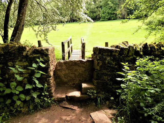
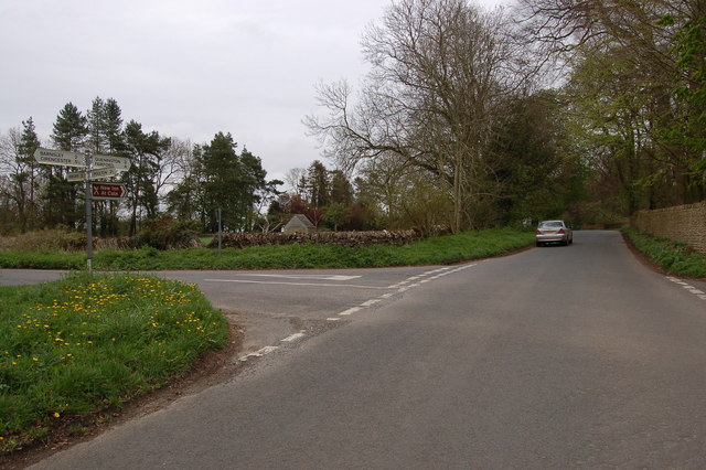
Visitors to Oxhill Wood can explore the numerous walking trails that wind through the forest, offering breathtaking views and opportunities for wildlife spotting. The wood is well-maintained with clear signposts and picnic areas, ensuring a pleasant and convenient experience for visitors.
Managed by the local forestry commission, Oxhill Wood is subject to conservation efforts to preserve its natural beauty and protect its wildlife. The forest is open to the public throughout the year, allowing visitors to experience the changing seasons and the vibrant colors that adorn the wood.
Overall, Oxhill Wood is a captivating woodland retreat, offering a peaceful escape from the hustle and bustle of everyday life while providing a sanctuary for countless plant and animal species.
If you have any feedback on the listing, please let us know in the comments section below.
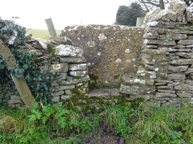
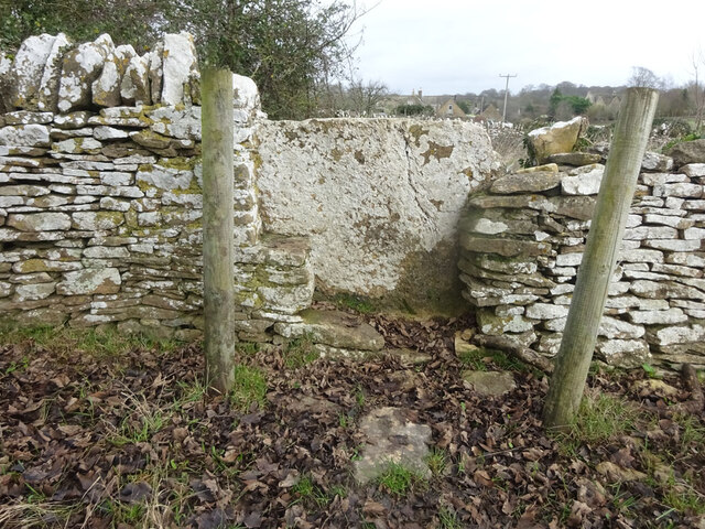
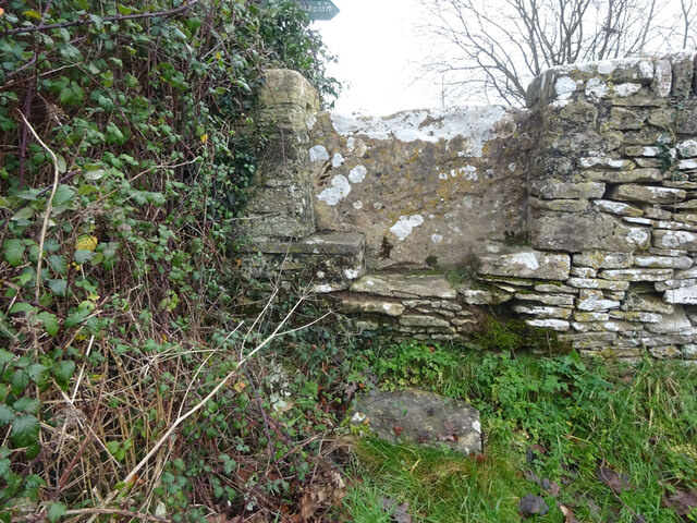
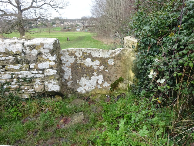
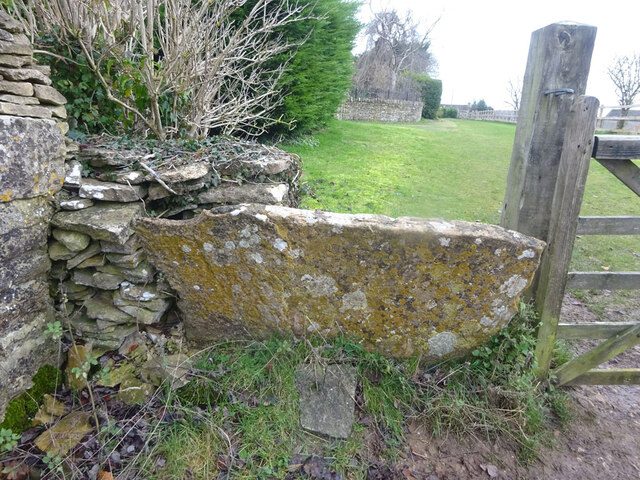
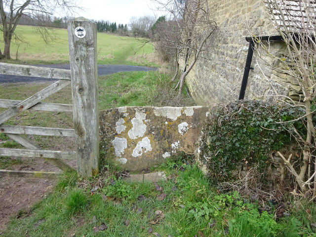
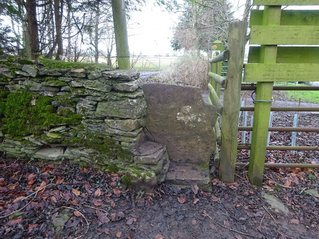
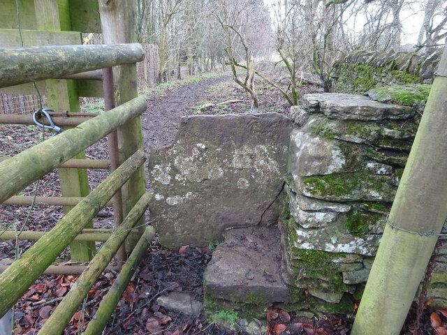
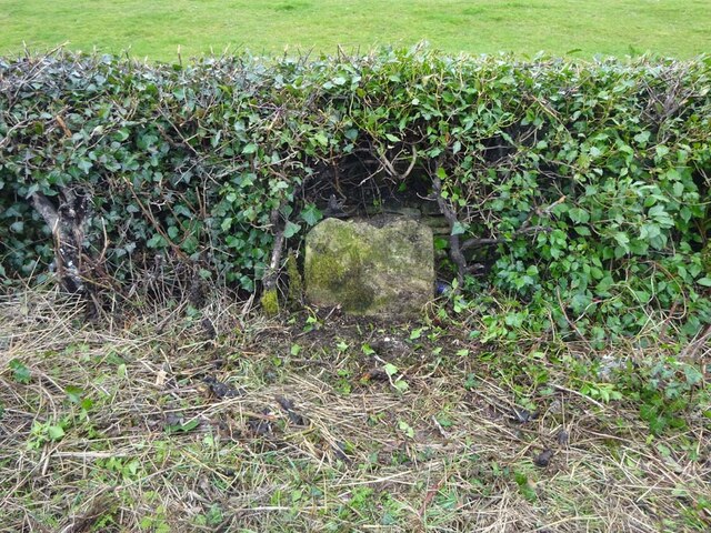
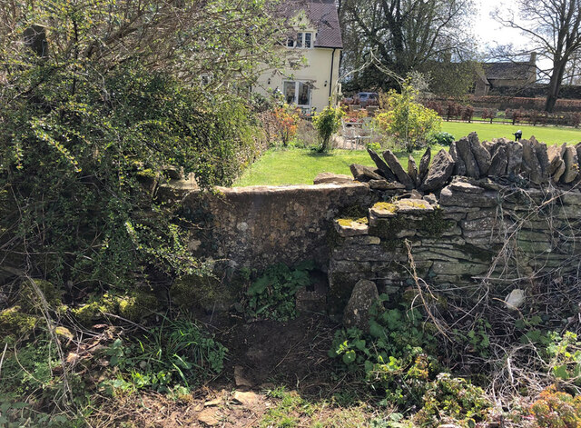
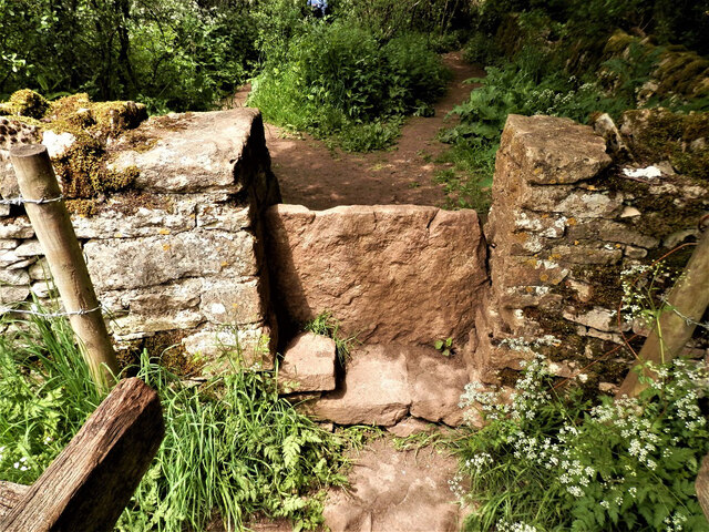
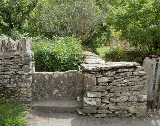
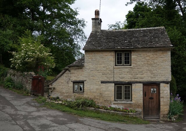
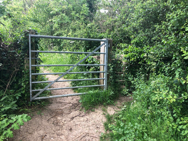
Oxhill Wood Images
Images are sourced within 2km of 51.750505/-1.8256895 or Grid Reference SP1205. Thanks to Geograph Open Source API. All images are credited.


Oxhill Wood is located at Grid Ref: SP1205 (Lat: 51.750505, Lng: -1.8256895)
Administrative County: Gloucestershire
District: Cotswold
Police Authority: Gloucestershire
What 3 Words
///spurring.chose.order. Near Fairford, Gloucestershire
Nearby Locations
Related Wikis
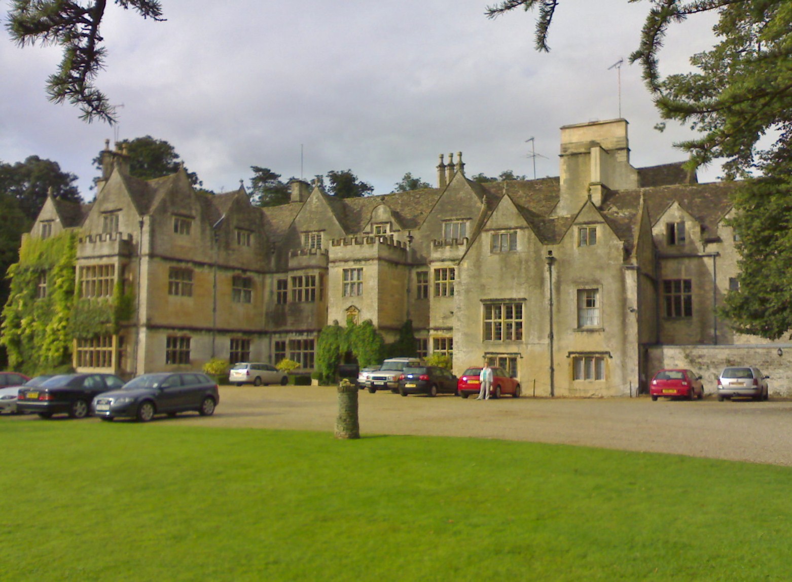
Bibury Court
Bibury Court is a Grade I listed Jacobean country house in Bibury, Gloucestershire, England.The River Coln flows to the south of the property. == History... ==

Church of St Mary, Bibury
The Anglican Church of St Mary at Bibury in the Cotswold District of Gloucestershire, England, was built in the 11th century. It is a grade I listed building...

Bibury
Bibury is a village and civil parish in Gloucestershire, England. It is on the River Coln, a Thames tributary that rises in the same (Cotswold) District...
Arlington Row
Arlington Row at Arlington in the parish of Bibury, Gloucestershire, England was built in the late 14th century as a wool store and converted into weavers...

Arlington, Gloucestershire
Arlington is a Cotswold village in the parish of Bibury, Gloucestershire, England. == History == In 1066 Arlington had two mills and continued to flourish...
Ready Token
Ready Token is a hamlet in Gloucestershire, England, located in the Cotswold Hills near Poulton. Despite comprising only a handful of houses it is located...

Coln St. Aldwyns
Coln St. Aldwyns (sometimes Coln St. Aldwyn) is a village and civil parish in the Cotswold district of the English county of Gloucestershire. == History... ==

Ablington, Gloucestershire
Ablington is a village in the county of Gloucestershire, England. It is located in the Coln Valley and is part of the Bibury civil parish, 6 miles (9...
Nearby Amenities
Located within 500m of 51.750505,-1.8256895Have you been to Oxhill Wood?
Leave your review of Oxhill Wood below (or comments, questions and feedback).