Rams Hill Coppice
Wood, Forest in Warwickshire Stratford-on-Avon
England
Rams Hill Coppice
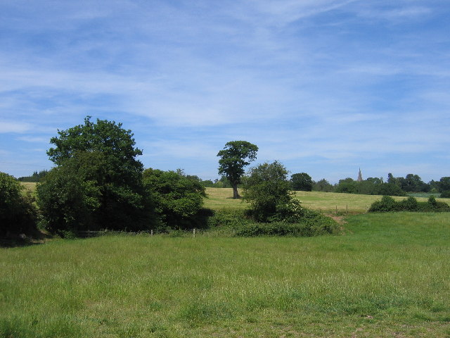
Rams Hill Coppice is a picturesque woodland located in the county of Warwickshire, England. Spanning over a vast area, this enchanting forest is a haven for nature enthusiasts and offers a tranquil escape from the bustling city life.
The woodland is characterized by its dense foliage and towering trees, predominantly consisting of oak, birch, and beech. These trees provide shade and shelter to a diverse range of flora and fauna, making it a thriving ecosystem. The forest floor is adorned with a carpet of wildflowers, adding bursts of color to the serene landscape.
Rams Hill Coppice is home to a variety of wildlife, including deer, rabbits, squirrels, and a myriad of bird species. Birdwatchers can catch a glimpse of woodpeckers, owls, and various migratory birds that frequent the area. The forest also features a small stream that meanders through the trees, creating a soothing ambiance and attracting small aquatic creatures.
The woodland offers a multitude of recreational activities for visitors to indulge in. Hiking and walking trails crisscross the forest, allowing visitors to explore its hidden corners and discover its hidden treasures. For those seeking a more adventurous experience, there are designated areas for camping and picnicking, providing an opportunity to connect with nature and indulge in outdoor activities.
Rams Hill Coppice is steeped in history, with evidence of human habitation dating back centuries. It is believed that the forest was once used for timber production and charcoal burning, as evidenced by old saw pits and remnants of charcoal platforms.
Overall, Rams Hill Coppice is a charming woodland that offers a serene and immersive experience for visitors. Whether it's a leisurely stroll, birdwatching, or simply enjoying the tranquility of nature, this forest is a must-visit destination for nature lovers and outdoor enthusiasts alike.
If you have any feedback on the listing, please let us know in the comments section below.
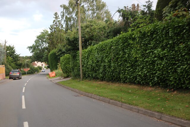
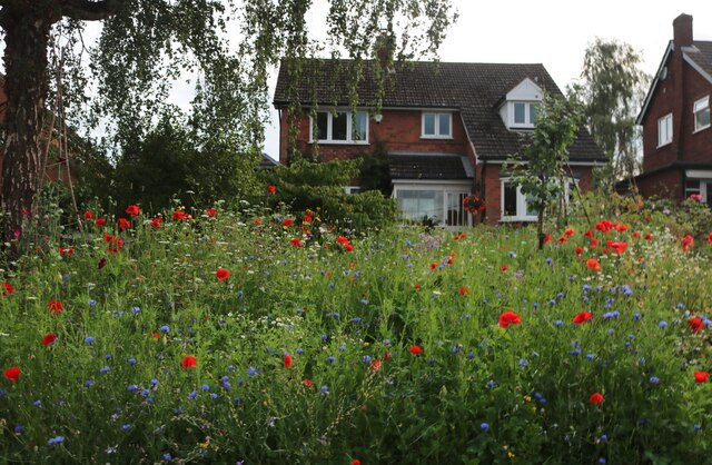
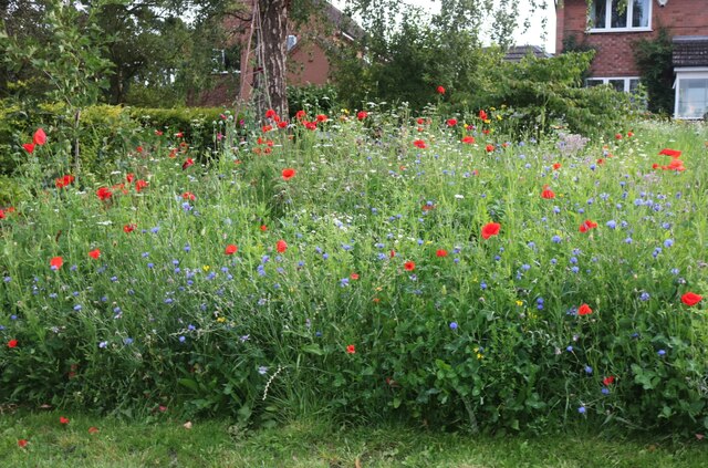
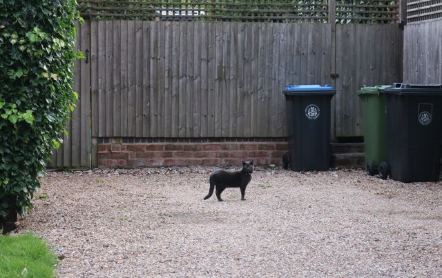
Rams Hill Coppice Images
Images are sourced within 2km of 52.315854/-1.8188155 or Grid Reference SP1268. Thanks to Geograph Open Source API. All images are credited.


Rams Hill Coppice is located at Grid Ref: SP1268 (Lat: 52.315854, Lng: -1.8188155)
Administrative County: Warwickshire
District: Stratford-on-Avon
Police Authority: Warwickshire
What 3 Words
///treatable.dumpling.bedrooms. Near Henley in Arden, Warwickshire
Nearby Locations
Related Wikis
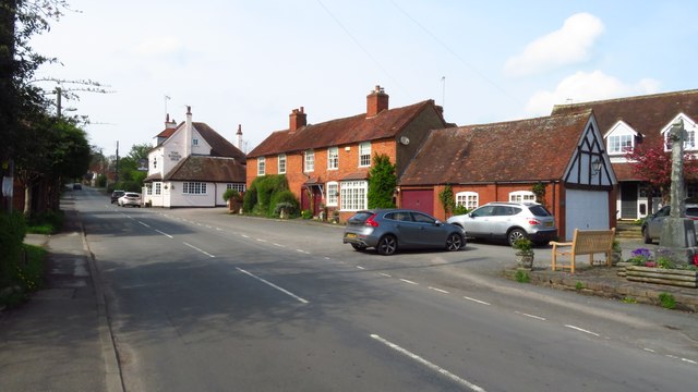
Danzey Green
Danzey Green, sometimes known locally as simply Danzey, is a small rural hamlet in Warwickshire, England. It is within the civil parish of Tanworth-in...

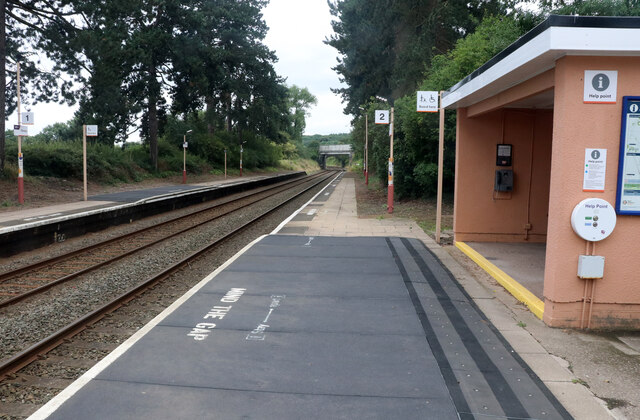
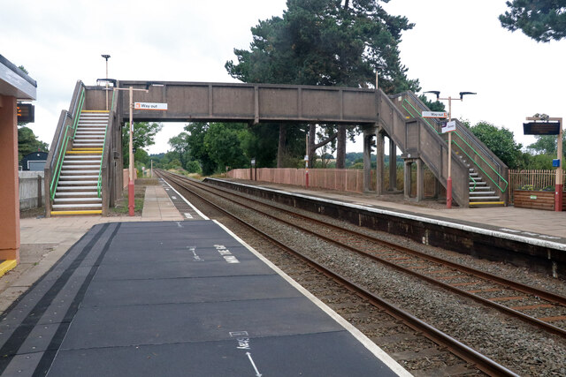
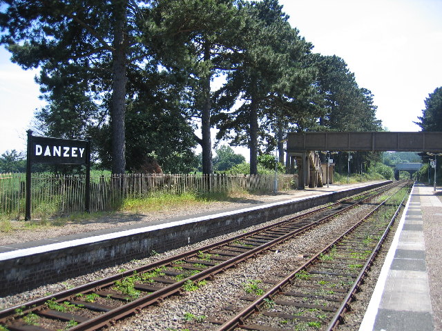
Danzey railway station
Danzey is a railway station which serves the small village of Danzey Green, and the larger but slightly more distant village of Tanworth-in-Arden in Warwickshire...

Ullenhall
Ullenhall is a large town and civil parish in the borough of Redditch, England, situated about 10 miles (16 km) west of Henley in Arden and 18.2 miles...

Barrells Hall
Barrells Hall is a large house in the Warwickshire countryside near Henley-in-Arden. The nearest village is Ullenhall, which for many years was the estate...
Nearby Amenities
Located within 500m of 52.315854,-1.8188155Have you been to Rams Hill Coppice?
Leave your review of Rams Hill Coppice below (or comments, questions and feedback).