North Wood
Wood, Forest in Staffordshire East Staffordshire
England
North Wood
North Wood, Staffordshire, also known as Wood or Forest, is a picturesque village located in the county of Staffordshire, England. Situated amidst rolling hills and lush green landscapes, this rural settlement exudes a tranquil and idyllic charm.
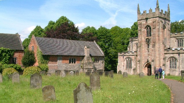
The village is renowned for its rich history, dating back to the medieval period. It was once part of the Cannock Chase Forest, a royal hunting ground during the reign of William the Conqueror. Today, remnants of this history can still be seen in the form of ancient oaks and woodlands that surround the village.
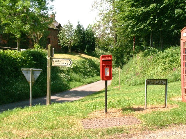
North Wood is characterized by its quaint cottages and traditional architecture. The village center features a small square, lined with local shops, a pub, and a village hall. The community is close-knit, and residents often gather for social events and festivals, fostering a strong sense of camaraderie.
Nature enthusiasts will find North Wood to be a haven. The village is situated on the edge of the Cannock Chase Area of Outstanding Natural Beauty, offering ample opportunities for outdoor activities. Walking trails wind through the woodlands, providing breathtaking views of the surrounding countryside. The area is also home to a diverse range of wildlife, including deer, foxes, and a variety of bird species.
Despite its peaceful setting, North Wood is well-connected to neighboring towns and cities. The village has good road links, with the nearby A34 providing easy access to Stafford and Stoke-on-Trent. Additionally, the bustling city of Birmingham is just a short drive away.
In summary, North Wood, Staffordshire, is a charming village that combines a rich history, natural beauty, and a close-knit community. Its idyllic setting and convenient location make it an appealing place to live for those seeking a peaceful rural lifestyle.
If you have any feedback on the listing, please let us know in the comments section below.
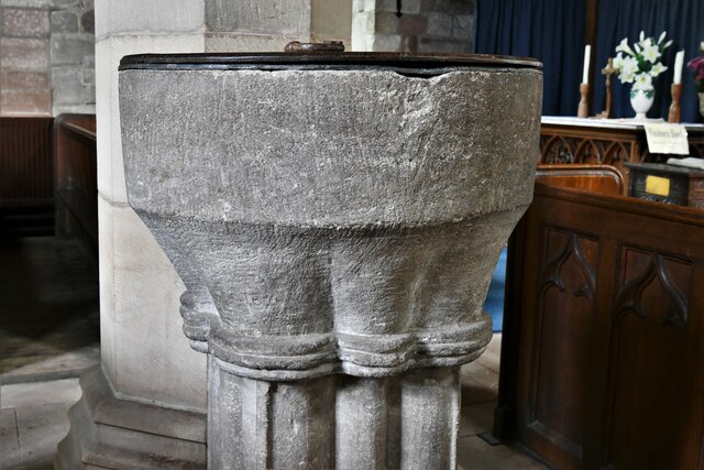
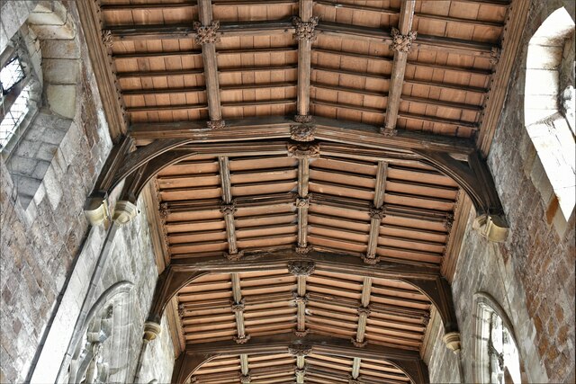
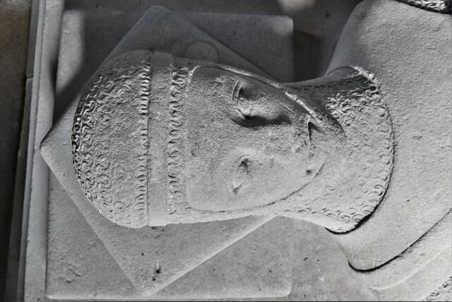
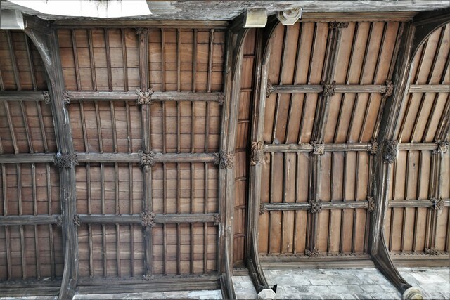
North Wood Images
Images are sourced within 2km of 52.995643/-1.8166875 or Grid Reference SK1244. Thanks to Geograph Open Source API. All images are credited.


North Wood is located at Grid Ref: SK1244 (Lat: 52.995643, Lng: -1.8166875)
Administrative County: Staffordshire
District: East Staffordshire
Police Authority: Staffordshire
What 3 Words
///downfield.tinted.blaze. Near Mayfield, Staffordshire
Nearby Locations
Related Wikis

Calwich Abbey
Calwich Abbey, previously Calwich Priory, was in turn the name of a medieval Augustinian priory and two successive country houses built on the same site...
Ellastone
Ellastone is a village in the East Staffordshire borough of Staffordshire, in the West Midlands of England. It is on the Staffordshire side of the River...

Stanton, Staffordshire
Stanton is a small village situated at the eastern end of the Weaver Hills, Staffordshire, England. Stanton is located 146 miles (235.0 km) north-west...
Norbury and Roston
Norbury with Roston is a civil parish in west Derbyshire incorporating the villages of Norbury and Roston. == See also == Listed buildings in Norbury and...

Norbury, Derbyshire
Norbury is a village in Derbyshire, England. It is located 3 miles (4.8 km) north of Rocester, on the B5033 road and the River Dove (which is the traditional...
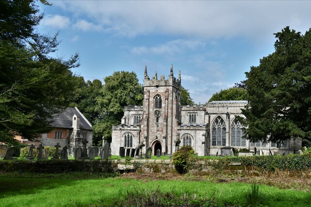
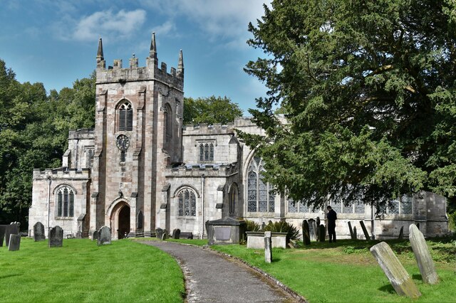
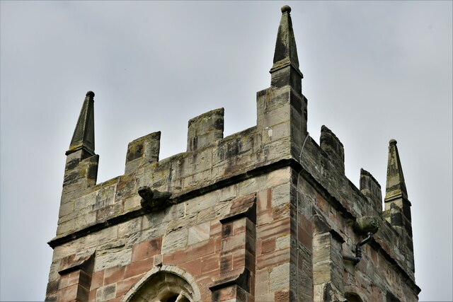
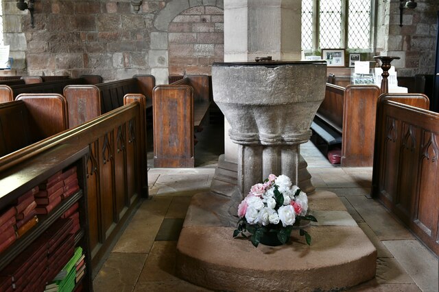
St Mary and St Barlock's Church, Norbury
St Mary and St Barlock's Church, Norbury is a Grade I listed parish church in the Church of England: 289 in Norbury, Derbyshire. == History == The present...
Norbury and Ellaston railway station
Norbury and Ellaston railway station was on a branch of the North Staffordshire Railway between Rocester and Ashbourne. The station, which had a waiting...
Norbury Manor
Norbury Manor is a 15th-century Elizabethan manor house and the adjoining 13th-century stone-built medieval hall house, Norbury Hall, known as The Old...
Nearby Amenities
Located within 500m of 52.995643,-1.8166875Have you been to North Wood?
Leave your review of North Wood below (or comments, questions and feedback).