Rangemoor Wood

Wood, Forest in Staffordshire East Staffordshire

England

Rangemoor Wood

Toll House, B5032 On the B5032 between Mayfield and Elstone, Staffordshire, near the hamlet of Calwich, 3 miles SE of Ashbourne, Derbyshire. On the 1878/81 map labelled as "Mayfield TP". Served the Spath & Hanging Bridge Turnpike Trust.

Inscription: Tollgate Cottage // 19 Calwich 97

Milestone Society National ID: ST.MYF01
Toll House, B5032 Credit: Mike Parsons

Rangemoor Wood is a picturesque woodland located in Staffordshire, England. Covering an area of approximately 50 hectares, it is a popular destination for nature enthusiasts and outdoor adventurers alike. The wood is situated near the village of Rangemoor, just a few miles south of the town of Stafford.

The woodland is predominantly composed of broadleaf trees, including oak, ash, and beech, creating a diverse and vibrant ecosystem. The dense canopy provides shelter for a variety of wildlife species, making it a haven for birdwatchers and animal lovers. Visitors may spot native species such as woodpeckers, squirrels, and deer while exploring the area.

Rangemoor Wood offers a network of well-maintained footpaths and trails, allowing visitors to explore the woodland at their own pace. These paths wind through the trees, offering glimpses of beautiful wildflowers and tranquil streams along the way. The wood is also home to a small pond, providing a serene spot for peaceful reflection.

In addition to its natural beauty, Rangemoor Wood holds historical significance. It is believed that the woodland has been in existence for centuries, and remnants of ancient settlements can still be found within its boundaries. These historical features add an extra layer of intrigue to the wood, attracting history enthusiasts and archaeology buffs.

Overall, Rangemoor Wood is a captivating and idyllic destination for nature lovers, history enthusiasts, and those seeking a peaceful escape from the bustle of everyday life. Its rich biodiversity, scenic trails, and historical significance make it a must-visit location in Staffordshire.

If you have any feedback on the listing, please let us know in the comments section below.

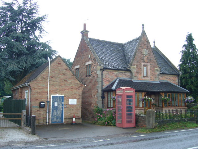
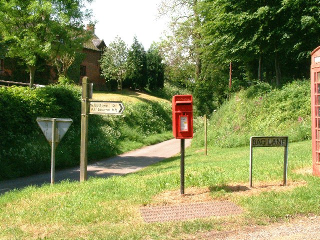
Rangemoor Wood Images

Images are sourced within 2km of 53.000963/-1.8161137 or Grid Reference SK1244. Thanks to Geograph Open Source API. All images are credited.

Toll House, B5032 On the B5032 between Mayfield and Elstone, Staffordshire, near the hamlet of Calwich, 3 miles SE of Ashbourne, Derbyshire. On the 1878/81 map labelled as "Mayfield TP". Served the Spath & Hanging Bridge Turnpike Trust.

Inscription: Tollgate Cottage // 19 Calwich 97

Milestone Society National ID: ST.MYF01
Toll House, B5032
On the B5032 between Mayfield and Elstone, Staffordshire, near the hamlet of Calwich, 3 miles SE of Ashbourne, Derbyshire. On the 1878/81 map labelled as "Mayfield TP". Served the Spath & Hanging Bridge Turnpike Trust. Inscription: Tollgate Cottage // 19 Calwich 97 Milestone Society National ID: ST.MYF01
Toll Gate Cottage, Wootton An ex Toll House at a junction in Hall Lane. It served the Darley Moor & Ellaston Turnpike Trust in the 18ᵗʰ & 19ᵗʰ C.

Milestone Society National ID: ST.WOO
Toll Gate Cottage, Wootton
An ex Toll House at a junction in Hall Lane. It served the Darley Moor & Ellaston Turnpike Trust in the 18ᵗʰ & 19ᵗʰ C. Milestone Society National ID: ST.WOO
Ellastone Telephone Exchange on the left. The ornate building on the right is probably an estate house of Calwich Abbey or one of the other "handsome seats" in the vicinity <span class="nowrap"><a title="http://www.genuki.org.uk/big/eng/STS/Ellastone/index.html" rel="nofollow ugc noopener" href="http://www.genuki.org.uk/big/eng/STS/Ellastone/index.html">Link</a><img style="margin-left:2px;" alt="External link" title="External link - shift click to open in new window" src="https://s1.geograph.org.uk/img/external.png" width="10" height="10"/></span>
Ellastone Telephone Exchange
on the left. The ornate building on the right is probably an estate house of Calwich Abbey or one of the other "handsome seats" in the vicinity LinkExternal link
Stanton Chapel in Bankside, Stanton. The stone over the door is inscribed "Primitive Methodist Chapel erected at the sole expense of David Smith. AD 1824". Primitive Methodism started only 30 km away on <a href="https://www.geograph.org.uk/gridref/SJ8557">SJ8557</a> Mow Cop in 1807.
Stanton Chapel
in Bankside, Stanton. The stone over the door is inscribed "Primitive Methodist Chapel erected at the sole expense of David Smith. AD 1824". Primitive Methodism started only 30 km away on SJ8557 Mow Cop in 1807.
St Mary's Church Stanton, Staffordshire
St Mary's Church
Stanton, Staffordshire
Rhodes Cottage Sallyfield Lane, Stanton, Staffordshire. Note the topiary.
Rhodes Cottage
Sallyfield Lane, Stanton, Staffordshire. Note the topiary.
Three Oaks Farm off Sallyfield Lane, Stanton, Staffordshire
Three Oaks Farm
off Sallyfield Lane, Stanton, Staffordshire
Parkland cattle Looking towards Upper Ellastone from the Limestone Way.
Parkland cattle
Looking towards Upper Ellastone from the Limestone Way.
Pastoral with ruin Close to The Hutts Farm and viewed from the Limestone Way.
Pastoral with ruin
Close to The Hutts Farm and viewed from the Limestone Way.
Woodland and fields near Ellastone
The guardian of the Limestone Way
Dydon View from the Limestone Way.
Dydon
View from the Limestone Way.
A fruitful hedge This summer has been excellent for hedgerow fruit and these hawthorns are heavy with haws.
A fruitful hedge
This summer has been excellent for hedgerow fruit and these hawthorns are heavy with haws.
Footbridge over a stream The stream, leads from Cockley Wood down to meet the River Dove near a weir. Marshy land, part of the River Dove's flood plain, lies beyond the footbridge and houses are built on a ridge above this.
Footbridge over a stream
The stream, leads from Cockley Wood down to meet the River Dove near a weir. Marshy land, part of the River Dove's flood plain, lies beyond the footbridge and houses are built on a ridge above this.
Cockley Wood and marshy ground Beyond the marshy ground lies Cockley Wood.
Cockley Wood and marshy ground
Beyond the marshy ground lies Cockley Wood.
Weir on the River Dove The weir is situated at a sharp meander in the river.
Weir on the River Dove
The weir is situated at a sharp meander in the river.
Stone houses in Wootton village
The road to the Weaver Hills Back lane in Wootton leads to the Weaver Hills.
The road to the Weaver Hills
Back lane in Wootton leads to the Weaver Hills.
Show me another place!

Rangemoor Wood is located at Grid Ref: SK1244 (Lat: 53.000963, Lng: -1.8161137)

Administrative County: Staffordshire

District: East Staffordshire

Police Authority: Staffordshire

What 3 Words

///recall.summit.barrel. Near Mayfield, Staffordshire

Related Wikis

Stanton, Staffordshire

Stanton is a small village situated at the eastern end of the Weaver Hills, Staffordshire, England. Stanton is located 146 miles (235.0 km) north-west...

Calwich Abbey

Calwich Abbey, previously Calwich Priory, was in turn the name of a medieval Augustinian priory and two successive country houses built on the same site...

Wootton, Staffordshire

Wootton is a village and civil parish in Staffordshire, England. The village is situated approximately 20 miles (30 km) east from Stoke-on-Trent and 20...

Ellastone

Ellastone is a village in the East Staffordshire borough of Staffordshire, in the West Midlands of England. It is on the Staffordshire side of the River...

Thorswood

Thorswood is a nature reserve of the Staffordshire Wildlife Trust, situated in the Weaver Hills near the village of Stanton, in Staffordshire, England...

Norbury and Roston

Norbury with Roston is a civil parish in west Derbyshire incorporating the villages of Norbury and Roston. == See also == Listed buildings in Norbury and...

Norbury, Derbyshire

Norbury is a village in Derbyshire, England. It is located 3 miles (4.8 km) north of Rocester, on the B5033 road and the River Dove (which is the traditional...

St Mary and St Barlock's Church, Norbury

St Mary and St Barlock's Church, Norbury is a Grade I listed parish church in the Church of England: 289  in Norbury, Derbyshire. == History == The present...

Nearby Amenities

Located within 500m of 53.000963,-1.8161137
Ele: 133.5078125
Lat/Long: 52.9980635/-1.810901
Ele: 135.6706543
Lat/Long: 52.9971684/-1.8121965
Ele: 130.6239014
Lat/Long: 52.997576/-1.8117251
Ele: 134.7094727
Lat/Long: 52.9971418/-1.8122621
Barrier: stile
Ele: 131.5852051
Material: wood
Source: survey;gps
Steps: 1
Stile: stepover
Lat/Long: 52.9975868/-1.811748
Ele: 130.6239014
Lat/Long: 52.9975716/-1.8118284
Barrier: stile
Ele: 114.5218506
Steps: 1
Stile: stepover
Lat/Long: 52.9980635/-1.813778
Passing Place
Lat/Long: 52.9974137/-1.8156353
Ele: 145.7645264
Lat/Long: 53.0012029/-1.8092328
Barrier: stile
Ele: 136.1513672
Steps: 1
Stile: stepover
Lat/Long: 53.0001447/-1.8104414
Barrier: stile
Ele: 117.1655273
Stile: squeezer
Lat/Long: 52.999269/-1.8110503
Ele: 116.6848145
Lat/Long: 52.9991995/-1.8109724
Ele: 111.1573486
Lat/Long: 52.9990023/-1.8117986
Ele: 111.3977051
Lat/Long: 52.9989966/-1.8118179
Ele: 115.0025635
Lat/Long: 52.9986788/-1.8125991
Ele: 113.0799561
Lat/Long: 52.9989259/-1.8120946
Barrier: stile
Material: wood
Source: survey;gps
Stile: stepover
Lat/Long: 52.9971735/-1.8122986
Access: yes
Barrier: stile
Foot: yes
Stile: stepover
Vehicle: no
Lat/Long: 52.9974123/-1.8125818
Barrier: stile
Material: wood
Source: survey;gps
Stile: stepover
Lat/Long: 52.9980414/-1.8109289
Access: yes
Barrier: stile
Foot: yes
Stile: stepover
Vehicle: no
Lat/Long: 52.9974712/-1.8126526
Access: yes
Barrier: stile
Foot: yes
Stile: stepover
Vehicle: no
Lat/Long: 52.9980859/-1.8131927
Access: yes
Barrier: stile
Foot: yes
Stile: stepover
Vehicle: no
Lat/Long: 52.9981041/-1.8132645
Fixme: path incomplete
Lat/Long: 52.9982386/-1.8109873
Access: yes
Barrier: stile
Foot: yes
Material: wood
Stile: stepover
Lat/Long: 52.9976223/-1.811847
The data included in this document is from www.openstreetmap.org. The data is made available under ODbL.

Have you been to Rangemoor Wood?

Leave your review of Rangemoor Wood below (or comments, questions and feedback).