Burnt Plantation
Wood, Forest in Yorkshire Richmondshire
England
Burnt Plantation

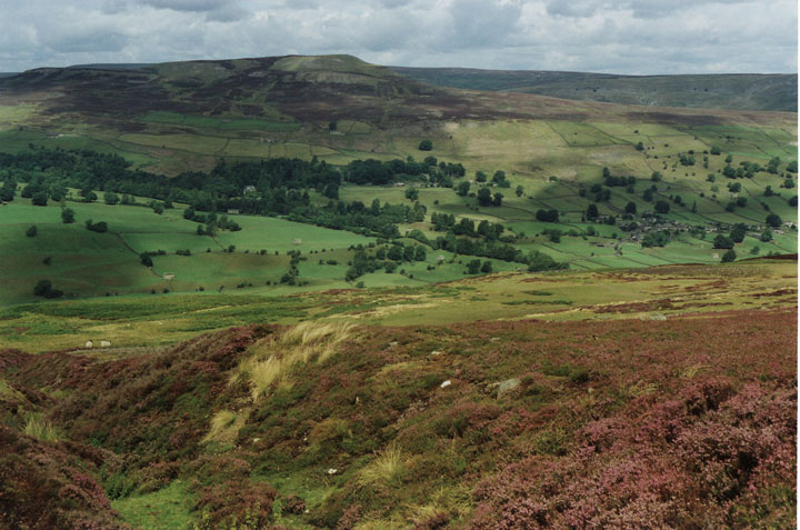
Burnt Plantation, located in Yorkshire, is a captivating woodland area that attracts nature enthusiasts, hikers, and birdwatchers alike. Situated in the heart of the Yorkshire Dales National Park, this forested region is renowned for its diverse flora and fauna, as well as its tranquil and picturesque setting.
Covering an area of approximately 500 acres, Burnt Plantation boasts an impressive array of plant species, including ancient oaks, birches, beeches, and conifers. These trees create a dense canopy, providing shade and shelter for a plethora of wildlife. Bluebells, ferns, and wildflowers carpet the forest floor, adding a splash of color to the landscape during the spring and summer months.
The forest is crisscrossed by numerous walking trails, allowing visitors to explore its beauty at their own pace. Along these paths, one can discover hidden clearings, babbling brooks, and even the remains of a historic charcoal kiln, which dates back to the 19th century when the forest was used for timber production.
Burnt Plantation is also a haven for birdlife, with over 80 species recorded in the area. Birdwatchers can spot woodland birds such as woodpeckers, owls, and various species of warblers, as well as larger birds of prey, including buzzards and kestrels.
In conclusion, Burnt Plantation in Yorkshire offers a serene escape for nature lovers seeking to immerse themselves in the beauty of a woodland paradise. Its rich biodiversity, scenic trails, and abundance of birdlife make it a must-visit destination for those looking to reconnect with nature.
If you have any feedback on the listing, please let us know in the comments section below.
Burnt Plantation Images
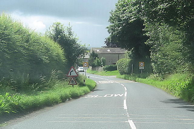
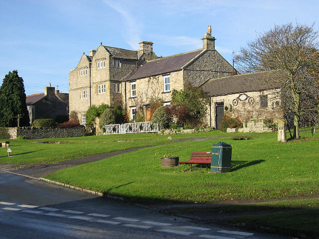
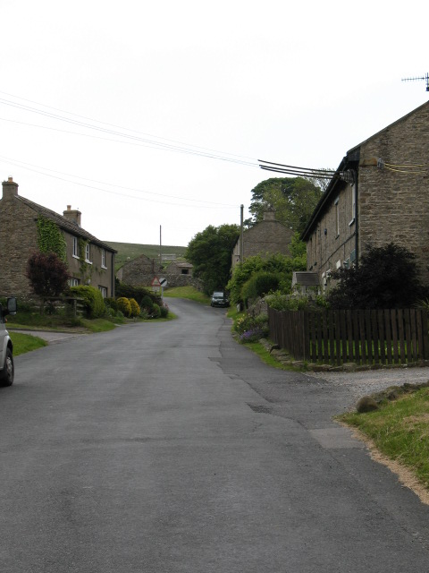
Images are sourced within 2km of 54.350636/-1.8239181 or Grid Reference SE1195. Thanks to Geograph Open Source API. All images are credited.


Burnt Plantation is located at Grid Ref: SE1195 (Lat: 54.350636, Lng: -1.8239181)
Division: North Riding
Administrative County: North Yorkshire
District: Richmondshire
Police Authority: North Yorkshire
What 3 Words
///uplifting.tolerable.outhouse. Near Leyburn, North Yorkshire
Related Wikis

Walburn, North Yorkshire
Walburn is a hamlet and civil parish in North Yorkshire, England. It is located in lower Swaledale, 5 miles (8 km) south-west of Richmond. The population...
Swaledale
Swaledale is a valley in North Yorkshire, England. It is one of the Yorkshire Dales, which are part of the Pennines, and within the Yorkshire Dales National...

Stainton, west North Yorkshire
Stainton is a hamlet and civil parish in the North Yorkshire district of North Yorkshire, England. It is located just outside the Yorkshire Dales National...
Bellerby
Bellerby is a village and civil parish in North Yorkshire, England, about 7 miles (11 km) south-west of Richmond. The village has one pub, the Cross Keys...
Downholme
Downholme is a village and civil parish in North Yorkshire, England. It is situated approximately 4 miles (6 km) west from the market town of Richmond...

Barden, Richmondshire
Barden is a hamlet and civil parish in North Yorkshire, England. It is about 5 miles (8 km) south of Richmond. According to the 2001 census the parish...
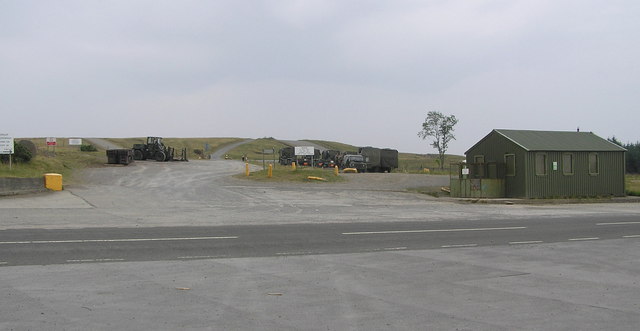
Hipswell Moor
Hipswell Moor is an area used for military training, near Catterick Garrison in North Yorkshire, England. It includes parts of the civil parishes of Barden...
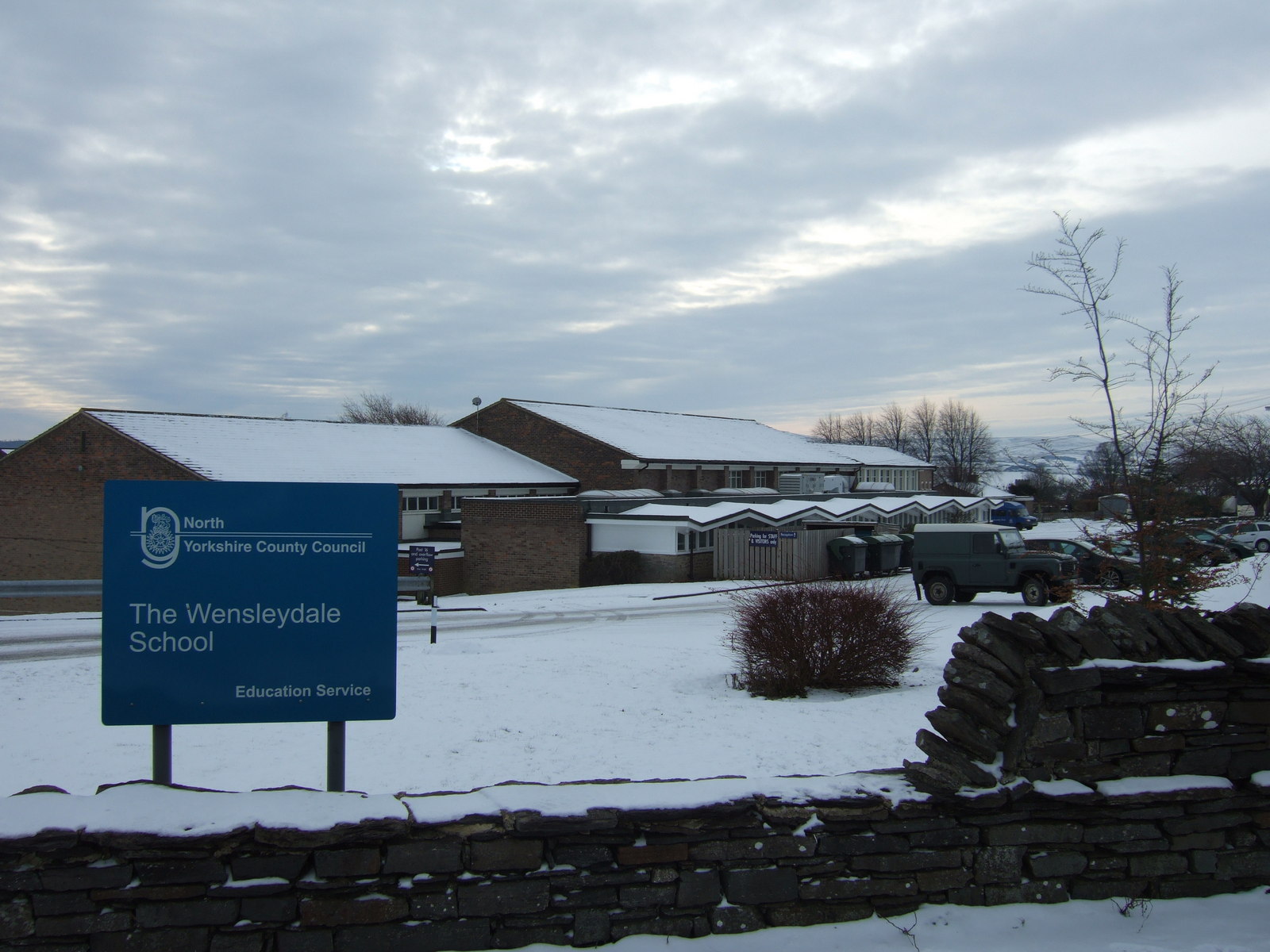
The Wensleydale School
The Wensleydale School and Sixth Form is a co-educational comprehensive school situated on Richmond Road, Leyburn, North Yorkshire, England. == History... ==
Nearby Amenities
Located within 500m of 54.350636,-1.8239181Have you been to Burnt Plantation?
Leave your review of Burnt Plantation below (or comments, questions and feedback).