Normanton Gorse
Wood, Forest in Wiltshire
England
Normanton Gorse

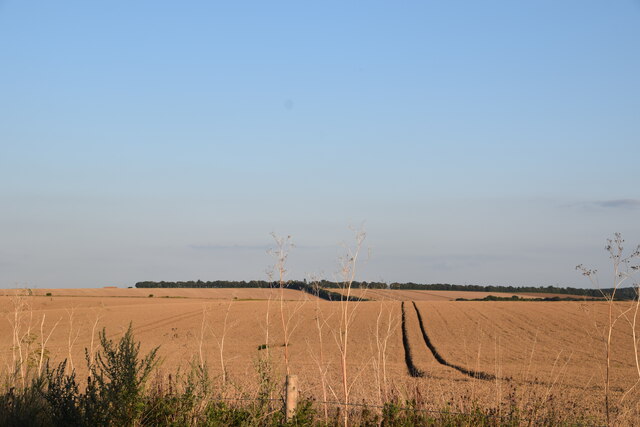
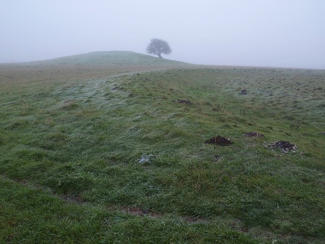
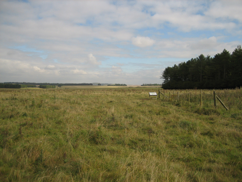
Normanton Gorse is a small woodland located in the county of Wiltshire, England. Situated near the town of Malmesbury, this charming forest covers an area of approximately 50 acres. The woodland is primarily composed of oak and beech trees, creating a dense and vibrant canopy that provides shelter and habitat for a variety of wildlife.
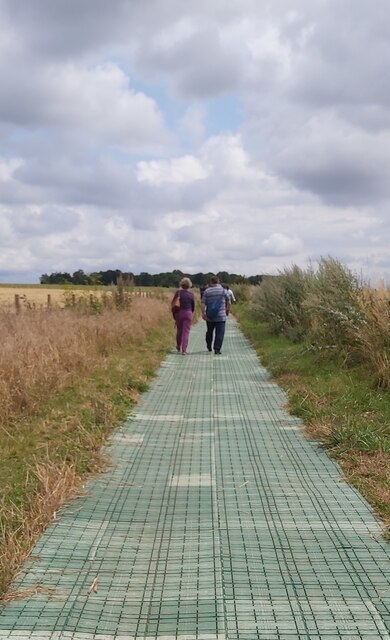
Normanton Gorse offers a peaceful and serene environment, making it a popular destination for nature lovers and outdoor enthusiasts. The forest is crisscrossed by numerous footpaths and trails, allowing visitors to explore the area and discover its hidden gems. These paths offer a chance to observe the rich biodiversity of the woodland, including various bird species, small mammals, and insects.
The woodland is also known for its wildflowers, which bloom in abundance during the spring and summer months. Bluebells, primroses, and wood anemones create a colorful carpet on the forest floor, adding to the beauty of the surroundings. Additionally, the presence of a small stream running through Normanton Gorse adds to its picturesque charm.
The forest is managed by the local authorities, ensuring its preservation and the maintenance of its natural ecosystem. It is a designated Site of Special Scientific Interest (SSSI), highlighting its ecological importance and the need for its protection.
Normanton Gorse, with its tranquil atmosphere, scenic beauty, and diverse wildlife, offers a delightful escape from the hustle and bustle of everyday life. Whether it is for a leisurely stroll, birdwatching, or simply enjoying the serenity of nature, this woodland provides a haven for visitors seeking a connection with the natural world.
If you have any feedback on the listing, please let us know in the comments section below.
Normanton Gorse Images
Images are sourced within 2km of 51.172242/-1.8385888 or Grid Reference SU1141. Thanks to Geograph Open Source API. All images are credited.


Normanton Gorse is located at Grid Ref: SU1141 (Lat: 51.172242, Lng: -1.8385888)
Unitary Authority: Wiltshire
Police Authority: Wiltshire
What 3 Words
///tester.acrobats.spelled. Near Lark Hill, Wiltshire
Nearby Locations
Related Wikis
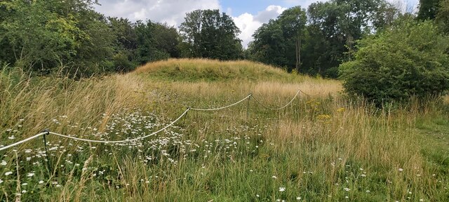
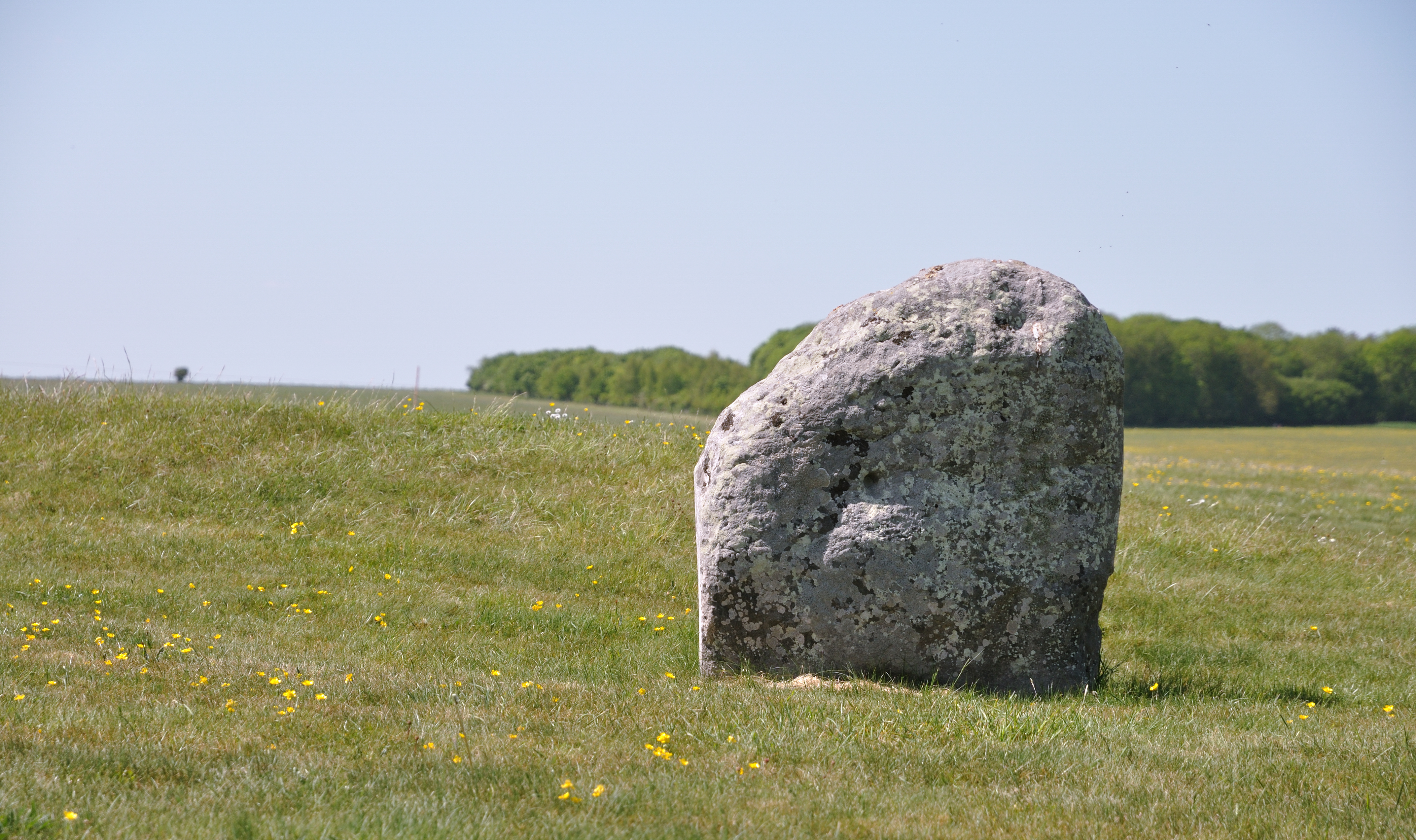
Bush Barrow
Bush Barrow is a site of the early British Bronze Age Wessex culture (c. 2000 BC), at the western end of the Normanton Down Barrows cemetery in Wiltshire...

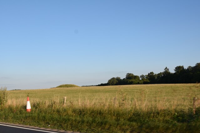
Normanton Down Barrows
Normanton Down is a Neolithic and Bronze Age barrow cemetery, about 0.6 miles (1 km) south of Stonehenge in Wiltshire, England. The burials date from...

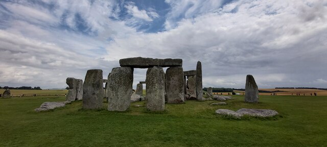
Heelstone Ditch
Heelstone Ditch is a roughly circular feature surrounding the Heel Stone at Stonehenge. It is not known if there was an intended relationship between the...
Stonehenge road tunnel
The Stonehenge road tunnel is a planned tunnel in Wiltshire, England, drawn up by National Highways to upgrade the A303 road. It would move the A303 into...
Stonehenge Landscape
The Stonehenge Landscape is a property of The National Trust, located on Salisbury Plain in Wiltshire, England. The estate (formerly known as Stonehenge...

Excavations at Stonehenge
Records of archaeological excavations at the Stonehenge site date back to the early 17th century. == Early research == The first known excavations at Stonehenge...
Station Stones
The Station Stones are elements of the prehistoric monument of Stonehenge. Originally there were four stones, resembling the four corners of a rectangle...

Altar Stone (Stonehenge)
The Altar Stone is a recumbent central megalith at Stonehenge in England, dating to Stonehenge phase 3i, around 2600 BCE. It is identified as Stone 80...
Nearby Amenities
Located within 500m of 51.172242,-1.8385888Have you been to Normanton Gorse?
Leave your review of Normanton Gorse below (or comments, questions and feedback).