Cheshire Wood
Wood, Forest in Staffordshire Staffordshire Moorlands
England
Cheshire Wood
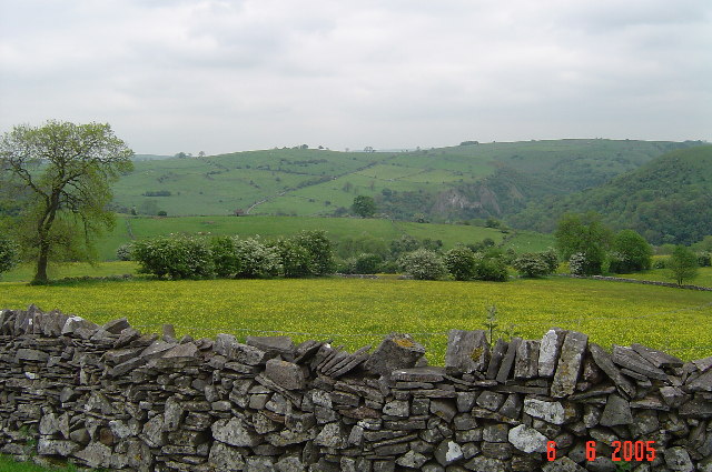
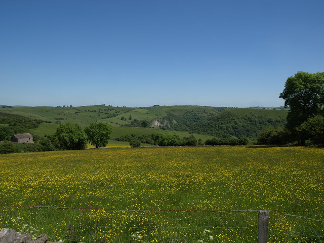
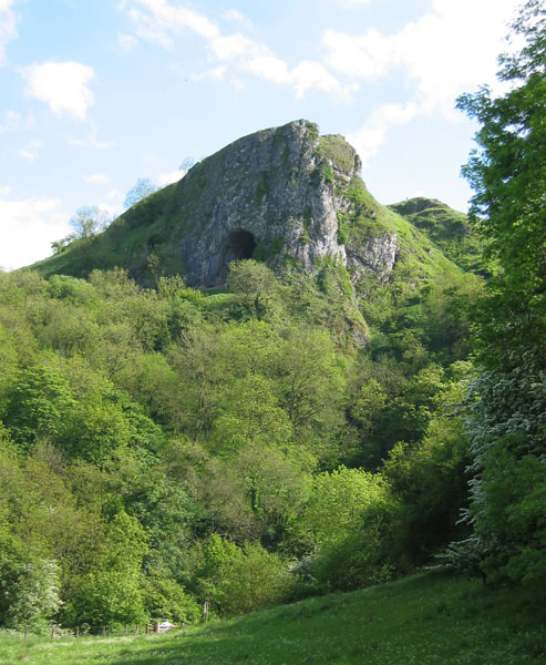
Cheshire Wood is a picturesque forest located in Staffordshire, England. Spanning over several acres, this woodland area is known for its natural beauty and diverse wildlife. It is situated near the village of Cheshire, hence the name.
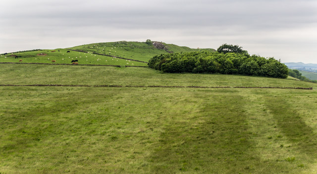
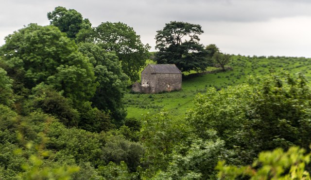
The wood is characterized by its dense canopy of trees, predominantly consisting of oak, beech, and birch. The varying heights of the trees create a layered effect, providing shelter for a wide range of flora and fauna. The forest floor is covered in a carpet of moss, ferns, and wildflowers, creating a vibrant and colorful landscape.
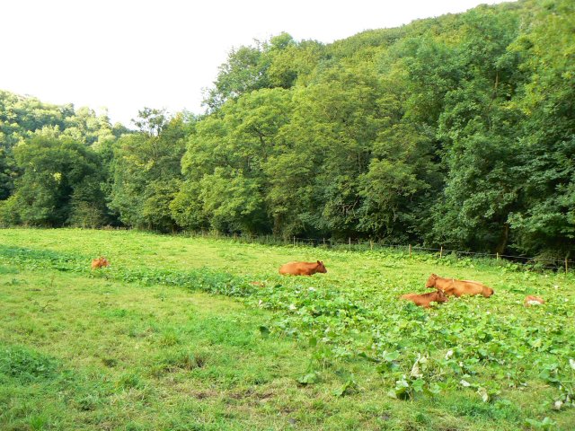
Cheshire Wood is home to a multitude of wildlife species, including deer, foxes, badgers, and a variety of bird species. Birdwatchers often frequent the area to spot woodpeckers, owls, and various migratory birds. The forest also houses many insects, such as butterflies and dragonflies, adding to the biodiversity of the area.
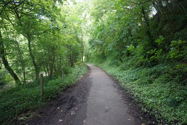
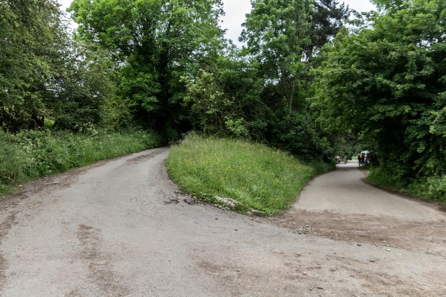
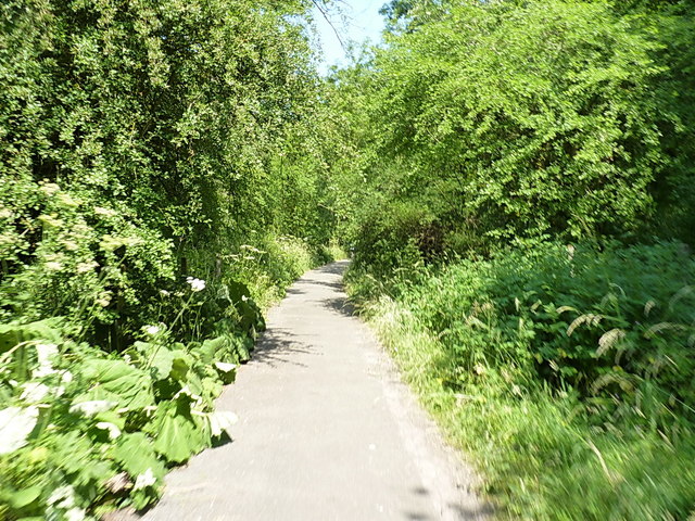
The wood is crisscrossed by a network of walking trails, enabling visitors to explore its natural wonders. These paths wind through the forest, offering breathtaking views and opportunities for peaceful solitude. The tranquil atmosphere of Cheshire Wood makes it a popular destination for nature lovers, hikers, and photographers.
The forest is well-maintained and protected by local authorities to preserve its natural state. Visitors are encouraged to follow the designated trails and adhere to the rules and regulations of the area to ensure the conservation of this unique woodland. Cheshire Wood is a true gem of Staffordshire, offering a serene escape into nature for anyone seeking solace and tranquility.
If you have any feedback on the listing, please let us know in the comments section below.
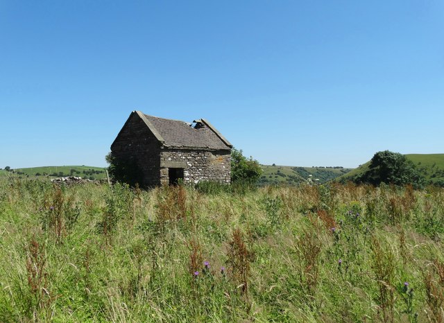
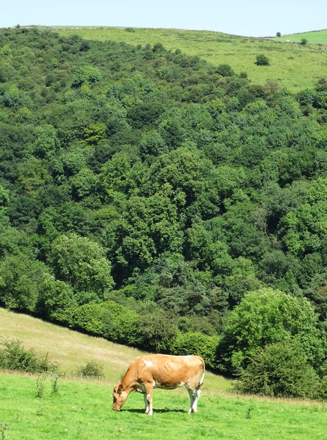
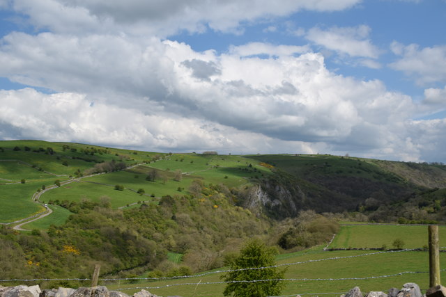
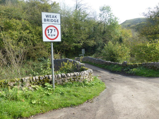
Cheshire Wood Images
Images are sourced within 2km of 53.077521/-1.8325961 or Grid Reference SK1153. Thanks to Geograph Open Source API. All images are credited.


Cheshire Wood is located at Grid Ref: SK1153 (Lat: 53.077521, Lng: -1.8325961)
Administrative County: Staffordshire
District: Staffordshire Moorlands
Police Authority: Staffordshire
What 3 Words
///driftwood.takeover.beads. Near Newhaven, Derbyshire
Nearby Locations
Related Wikis

Castern Wood
Castern Wood is a nature reserve of the Staffordshire Wildlife Trust. It is an ancient woodland, with scrub and grassland, on the eastern slopes of the...
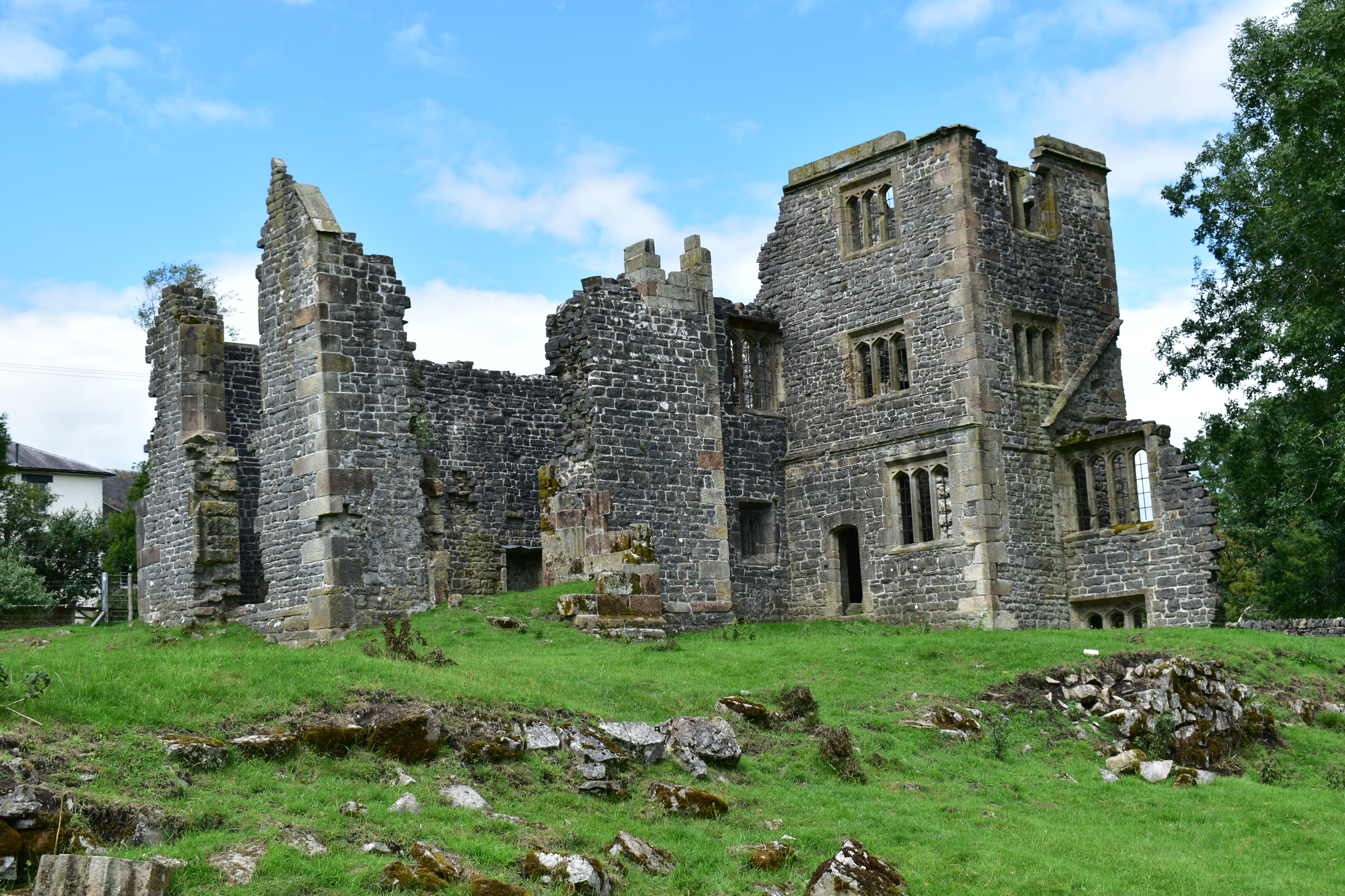
Throwley Old Hall
Throwley Old Hall is a ruined stately home near the village of Calton and adjacent to the River Manifold, in north-east Staffordshire, England. It is a...
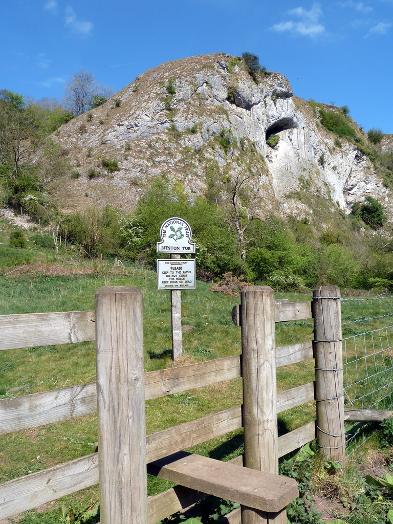
Beeston Tor
Beeston Tor (grid reference SK105540) is a limestone cliff in Staffordshire. It overlooks the confluence of the River Hamps with the River Manifold, and...

Long Low, Wetton
Long Low is a Neolithic and Bronze Age site in the English county of Staffordshire. It is about 2 km SE of Wetton (grid reference SK122539).It consists...
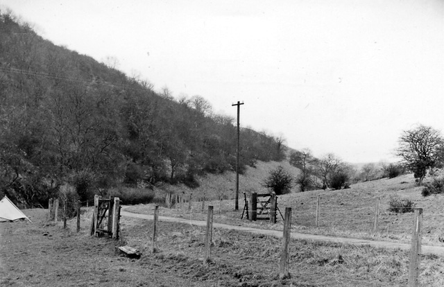
Beeston Tor railway station
Beeston Tor railway station was a minor station which served the Beeston Tor in Grindon, Staffordshire. The site is now part of the Manifold Way. ��2...
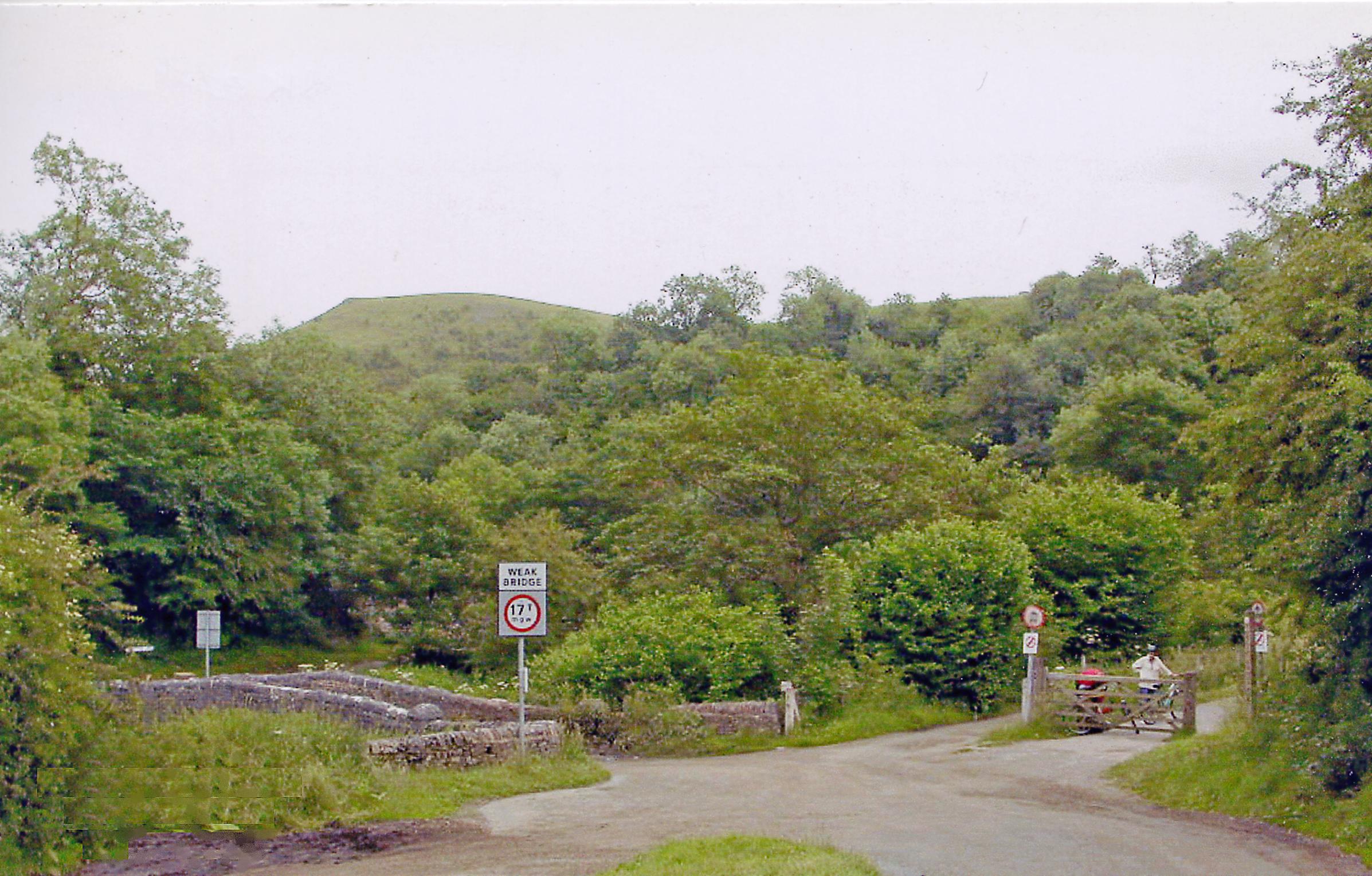
Grindon railway station
Grindon railway station was a station on the Leek and Manifold Light Railway. It served the village of Grindon in Staffordshire. The site is now part of...

Wetton, Staffordshire
Wetton is a village in the Peak District National Park, North Staffordshire, at the top of the east side of the Manifold Valley. The population recorded...
Thor's Cave
Thor's Cave (also known as Thor's House Cavern and Thyrsis's Cave) is a natural cavern located at SK09865496 in the Manifold Valley of the White Peak in...
Nearby Amenities
Located within 500m of 53.077521,-1.8325961Have you been to Cheshire Wood?
Leave your review of Cheshire Wood below (or comments, questions and feedback).