Boathouse Plantation
Wood, Forest in Yorkshire Richmondshire
England
Boathouse Plantation
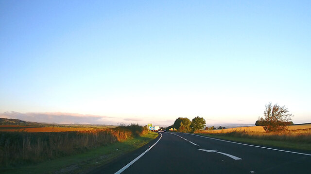
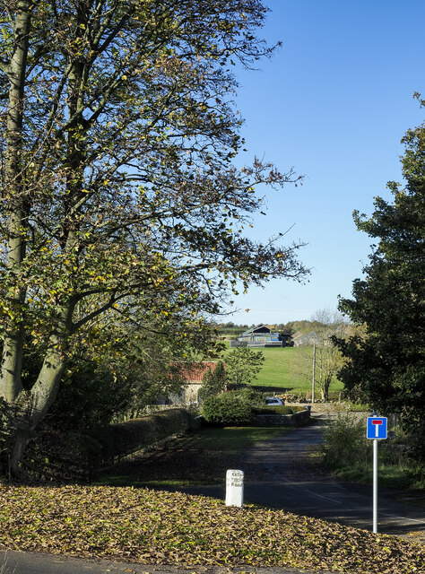
Boathouse Plantation, located in Yorkshire, is a captivating woodland area known for its natural beauty and lush greenery. Nestled in the heart of the county, this enchanting forest offers a serene escape from the hustle and bustle of everyday life.
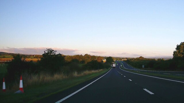
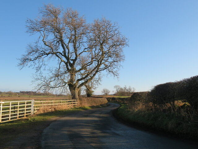
Covering an extensive area, Boathouse Plantation is home to a variety of tree species, including oak, beech, and pine. The tall, majestic trees create a dense canopy that filters sunlight and provides a tranquil atmosphere. The forest floor is adorned with a carpet of vibrant wildflowers, adding splashes of color to the landscape.
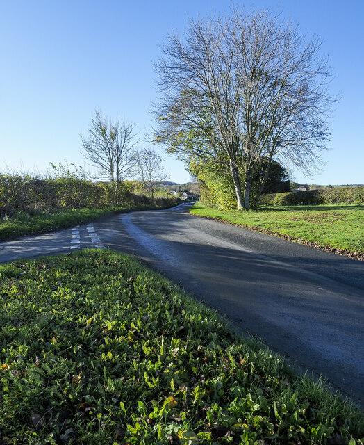
The plantation is intersected by winding footpaths and trails, allowing visitors to explore its wonders at their own pace. These well-maintained paths lead to hidden gems such as a picturesque boathouse, which sits beside a serene lake. The reflective waters mirror the surrounding trees, creating a postcard-worthy scene.
Nature enthusiasts will delight in the abundant wildlife that calls Boathouse Plantation home. Squirrels scamper through the treetops, their playful antics a joy to watch. Birdsong fills the air as numerous avian species flit between the branches, including woodpeckers and thrushes.
For those seeking a peaceful retreat, Boathouse Plantation offers secluded picnic spots where visitors can unwind and soak in the tranquil ambiance. The plantation is also a popular destination for photographers and artists, who are drawn to its picturesque landscapes and unique flora and fauna.
In conclusion, Boathouse Plantation in Yorkshire is a captivating woodland retreat that offers a peaceful escape into nature's embrace. Its diverse flora and fauna, scenic trails, and serene lake make it a must-visit destination for nature lovers and seekers of tranquility.
If you have any feedback on the listing, please let us know in the comments section below.
Boathouse Plantation Images
Images are sourced within 2km of 54.478355/-1.8269358 or Grid Reference NZ1109. Thanks to Geograph Open Source API. All images are credited.


Boathouse Plantation is located at Grid Ref: NZ1109 (Lat: 54.478355, Lng: -1.8269358)
Division: North Riding
Administrative County: North Yorkshire
District: Richmondshire
Police Authority: North Yorkshire
What 3 Words
///kipper.dormant.rigs. Near Barningham, Co. Durham
Nearby Locations
Related Wikis

Dalton, west North Yorkshire
Dalton is a village and civil parish in North Yorkshire in England. Dalton is situated about six miles north-west of Richmond and about five miles south...

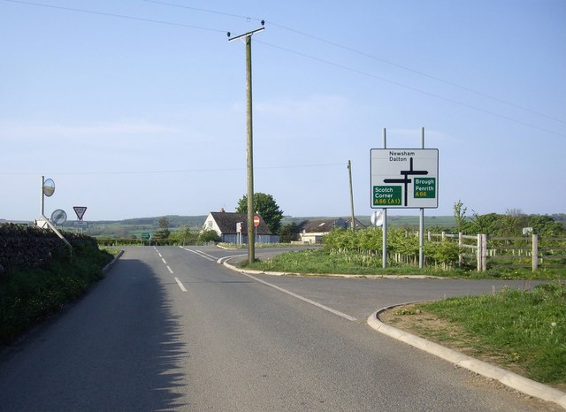
Newsham, Richmondshire
Newsham is a village and civil parish in the Richmondshire district of North Yorkshire, England. The village is 8 miles (13 km) north west of Richmond...

Gayles, North Yorkshire
Gayles is a village and civil parish in the Richmondshire district of North Yorkshire, England. Gayles is established in the district ward of Gilling West...

Barningham Park
Barningham Park is a Grade II* listed country house and 7,000 acre estate located in the village of Barningham, County Durham (formerly the North Riding...

West Layton
West Layton is a village and civil parish in the Richmondshire district of North Yorkshire, England, close to the border with County Durham and a few miles...
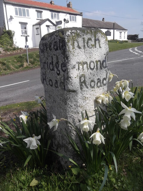
Barningham, County Durham
Barningham is a village in County Durham, in the Pennines of England. == History == Barningham is listed in the Domesday Book under the Gilling Wapentake...

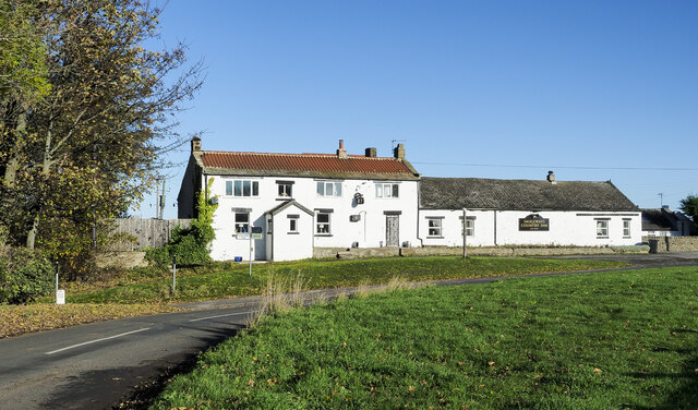
Milbank Arms, Barningham
The Milbank Arms is a Grade II listed public house at Barningham, County Durham. Built in the early 19th century, it spent a period as a hotel before converting...

Ravensworth
Ravensworth is a village and civil parish in the Holmedale valley, within the Richmondshire district of North Yorkshire, England. It is approximately...
Nearby Amenities
Located within 500m of 54.478355,-1.8269358Have you been to Boathouse Plantation?
Leave your review of Boathouse Plantation below (or comments, questions and feedback).