Charnock Wood
Wood, Forest in Gloucestershire Cotswold
England
Charnock Wood
Charnock Wood is a picturesque woodland located in the county of Gloucestershire, England. Situated near the village of Charnock, the wood covers an area of approximately 50 hectares. It forms part of the larger Forest of Dean, renowned for its natural beauty and rich biodiversity.
The wood is predominantly composed of broadleaf trees, with a diverse range of species including oak, beech, ash, and birch. These majestic trees provide a dense canopy, casting dappled sunlight on the forest floor. The undergrowth is lush and varied, featuring ferns, bluebells, and wild garlic, creating a vibrant and enchanting atmosphere.
Charnock Wood is intersected by several walking trails, allowing visitors to explore its natural wonders. These paths wind through the woodland, providing opportunities for leisurely strolls and peaceful contemplation. The area is also popular among birdwatchers, as it is home to a variety of avian species such as woodpeckers, tits, and finches.
The wood is managed by the Forestry Commission, who strive to maintain its ecological integrity while providing recreational access to the public. They implement sustainable forestry practices, ensuring the long-term health and vitality of the woodland. Charnock Wood is open to the public year-round, offering a tranquil retreat for nature lovers and outdoor enthusiasts alike.
In conclusion, Charnock Wood in Gloucestershire is a captivating forested area within the Forest of Dean. With its diverse range of trees, vibrant undergrowth, and well-maintained trails, it provides a serene and immersive experience for visitors, allowing them to connect with nature and appreciate the beauty of this ancient woodland.
If you have any feedback on the listing, please let us know in the comments section below.
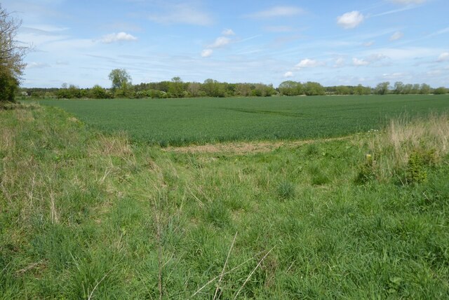
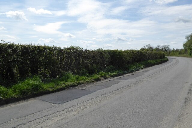
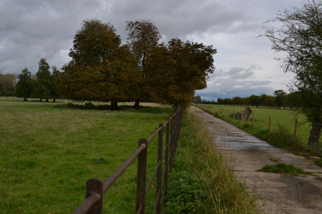
Charnock Wood Images
Images are sourced within 2km of 51.666434/-1.8495943 or Grid Reference SU1096. Thanks to Geograph Open Source API. All images are credited.


Charnock Wood is located at Grid Ref: SU1096 (Lat: 51.666434, Lng: -1.8495943)
Administrative County: Gloucestershire
District: Cotswold
Police Authority: Gloucestershire
What 3 Words
///fulfilled.spare.brotherly. Near Cricklade, Wiltshire
Nearby Locations
Related Wikis

Down Ampney
Down Ampney (pronounced Amney) is a medium-sized village located in Cotswold district in Gloucestershire, in England. The population taken at the 2011...
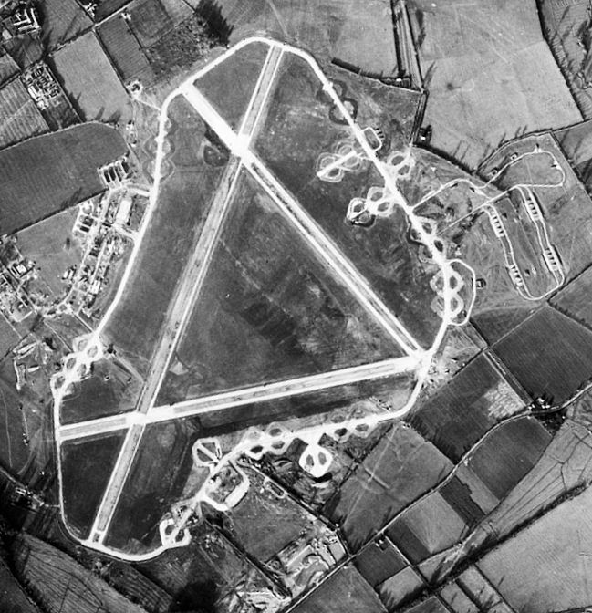
RAF Down Ampney
Royal Air Force Down Ampney or more simply RAF Down Ampney is a former Royal Air Force station located 1.8 miles (2.9 km) north east of Cricklade, Wiltshire...

Latton, Wiltshire
Latton is a village and civil parish in Wiltshire, England, 1.5 miles (2.4 km) north of Cricklade, on the county border with Gloucestershire. The village...
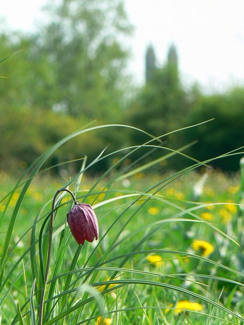
North Meadow, Cricklade
North Meadow, Cricklade (grid reference SU094946) is a hay meadow near the town of Cricklade, in Wiltshire, England. It is 24.6 hectares in size. It is...
Nearby Amenities
Located within 500m of 51.666434,-1.8495943Have you been to Charnock Wood?
Leave your review of Charnock Wood below (or comments, questions and feedback).