Bean Hay Copse
Wood, Forest in Gloucestershire Cotswold
England
Bean Hay Copse
Bean Hay Copse is a charming woodland located in Gloucestershire, England. Covering an area of approximately 20 acres, this forest is a popular destination for nature enthusiasts and those seeking a peaceful retreat.
The copse is predominantly composed of broadleaf trees, including oak, beech, and ash, which create a dense canopy that provides shade and shelter for a variety of wildlife. The forest floor is carpeted with a rich undergrowth of ferns, bluebells, and wild garlic, adding to the serene and picturesque atmosphere.
Bean Hay Copse is intersected by several winding footpaths, which offer visitors the opportunity to explore the area at their own pace. These pathways lead to secluded clearings and viewpoints, allowing visitors to admire the natural beauty of the surrounding countryside.
The copse is home to a diverse range of wildlife, including deer, foxes, badgers, and a multitude of bird species. The tranquil environment of Bean Hay Copse provides an ideal habitat for these creatures, making it a fantastic spot for wildlife observation and photography.
The woodland is managed by the local council, ensuring that it remains a well-maintained and accessible area for public enjoyment. Visitors can expect to find amenities such as picnic areas, benches, and informative signage throughout the copse, enhancing the overall visitor experience.
Bean Hay Copse is a haven for nature lovers and a peaceful escape from the hustle and bustle of everyday life. Whether you are seeking a leisurely walk, a place to reconnect with nature, or simply a tranquil spot to relax, this woodland in Gloucestershire offers it all.
If you have any feedback on the listing, please let us know in the comments section below.
Bean Hay Copse Images
Images are sourced within 2km of 51.66289/-1.855606 or Grid Reference SU1096. Thanks to Geograph Open Source API. All images are credited.


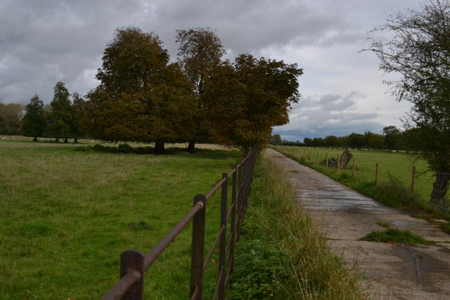
![A circular walk around Cricklade [58] The footpath continues to follow the field edge as it heads towards Eysey.
Starting in the town of Cricklade, the walk passes through Latton and Eysey before following the River Thames back to Cricklade.](https://s2.geograph.org.uk/geophotos/06/34/09/6340930_6ed8eaff.jpg)
![A circular walk around Cricklade [59] The footpath passes two water troughs in the corner of the field.
Starting in the town of Cricklade, the walk passes through Latton and Eysey before following the River Thames back to Cricklade.](https://s3.geograph.org.uk/geophotos/06/34/09/6340931_8ec0eebe.jpg)
![A circular walk around Cricklade [60] Seen from the footpath are the farm buildings of the oddly named Lertoll Well.
Starting in the town of Cricklade, the walk passes through Latton and Eysey before following the River Thames back to Cricklade.](https://s1.geograph.org.uk/geophotos/06/34/09/6340933_b074ead3.jpg)
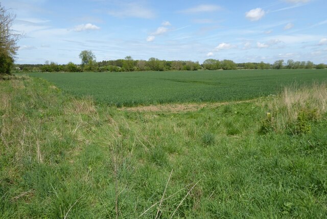
![A circular walk around Cricklade [61] This view from the footpath across the fields towards Cricklade shows how flat the area is.
Starting in the town of Cricklade, the walk passes through Latton and Eysey before following the River Thames back to Cricklade.](https://s2.geograph.org.uk/geophotos/06/34/09/6340934_7fb8c51c.jpg)
![A circular walk around Cricklade [62] Some cows sheltering from the sun in the corner of the field. Seen from the footpath.
Starting in the town of Cricklade, the walk passes through Latton and Eysey before following the River Thames back to Cricklade.](https://s3.geograph.org.uk/geophotos/06/34/09/6340935_8d72964a.jpg)
![A circular walk around Cricklade [63] A rather overgrown kissing gate in the corner of the field leads to a right turn and a rise up a bank which takes the footpath onto the road.
Starting in the town of Cricklade, the walk passes through Latton and Eysey before following the River Thames back to Cricklade.](https://s1.geograph.org.uk/geophotos/06/34/09/6340937_1481fc2d.jpg)
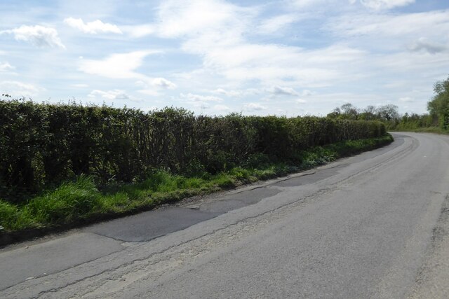
![A circular walk around Cricklade [64] The footpath emerges onto the road which runs from the A419 to Fairford and Kempsford. The footpath uses the road to cross Sheeppen Bridge over Ampney Brook then leaves the road to follow the brook towards Eysey.
Starting in the town of Cricklade, the walk passes through Latton and Eysey before following the River Thames back to Cricklade.](https://s3.geograph.org.uk/geophotos/06/34/09/6340939_5c2c5c28.jpg)
Bean Hay Copse is located at Grid Ref: SU1096 (Lat: 51.66289, Lng: -1.855606)
Administrative County: Gloucestershire
District: Cotswold
Police Authority: Gloucestershire
What 3 Words
///award.daunted.mend. Near Cricklade, Wiltshire
Nearby Locations
Related Wikis


Nearby Amenities
Located within 500m of 51.66289,-1.855606Have you been to Bean Hay Copse?
Leave your review of Bean Hay Copse below (or comments, questions and feedback).