Naze Nib Plantation
Wood, Forest in Yorkshire Craven
England
Naze Nib Plantation

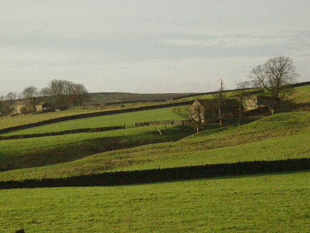
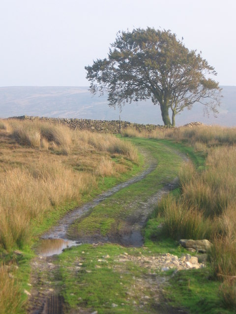
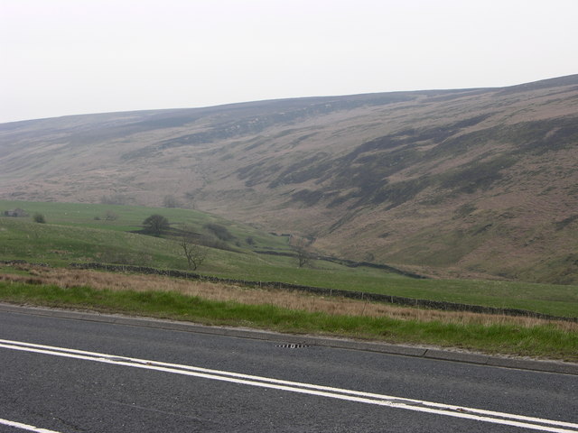
Naze Nib Plantation is a picturesque woodland located in Yorkshire, England. Situated in the heart of the county, this enchanting forest spans across a vast area, providing a serene and idyllic setting for visitors to explore and enjoy.
Covering approximately 200 acres, Naze Nib Plantation is predominantly made up of dense oak and beech trees, with a diverse range of other species scattered throughout the area. The forest floor is adorned with a rich carpet of mosses, ferns, and wildflowers, creating a vibrant and colorful landscape during the spring and summer months.
The woodland is crisscrossed by a network of well-maintained walking trails, allowing visitors to meander through the forest and immerse themselves in its natural beauty. These trails provide ample opportunities for birdwatching, as Naze Nib Plantation is home to a variety of avian species, including woodpeckers, owls, and various songbirds.
Naze Nib Plantation is also known for its diverse wildlife population. Squirrels scurry amongst the treetops, while rabbits and deer can often be spotted grazing in the open clearings. The forest is a haven for nature enthusiasts and provides an excellent opportunity for wildlife photography and observation.
The woodland is managed by a dedicated team of conservationists, who work tirelessly to preserve its natural charm and protect the indigenous flora and fauna. Their efforts ensure that Naze Nib Plantation remains a sanctuary for both wildlife and visitors alike.
Whether seeking solitude in nature or looking to indulge in outdoor activities, Naze Nib Plantation offers a perfect escape from the hustle and bustle of everyday life. Its breathtaking beauty and peaceful ambiance make it a must-visit destination for nature lovers and adventurers in Yorkshire.
If you have any feedback on the listing, please let us know in the comments section below.
Naze Nib Plantation Images
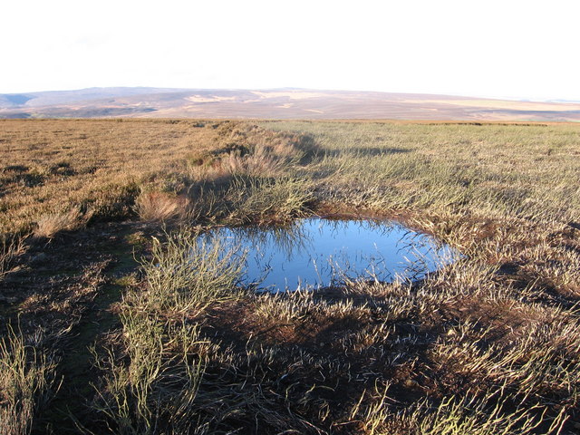
Images are sourced within 2km of 53.9819/-1.8504365 or Grid Reference SE0953. Thanks to Geograph Open Source API. All images are credited.

![Landslide by Kex Gill The swell of uneven ground part filling the valley bottom here is the result of a landslide or slope failure on the hillside behind. Note the line of low crags [High Combe] which define the edge of the landslip, which may have been caused by glacial meltwaters eroding the valley and destabilising the area above.](https://s0.geograph.org.uk/geophotos/01/17/72/1177228_a122f952.jpg)
![Old and new roads Looking downhill along the A59 [left], with the old road to the right. This section leading east from Bolton Bridge used to be a winding and tortuous ascent, but the road was re-engineered in the 1970's. Still a hazardous road with sections of three lane, whilst North Yorkshire Police are often here waiting for speeders.](https://s0.geograph.org.uk/geophotos/01/17/72/1177236_ef067388.jpg)


Naze Nib Plantation is located at Grid Ref: SE0953 (Lat: 53.9819, Lng: -1.8504365)
Division: West Riding
Administrative County: North Yorkshire
District: Craven
Police Authority: North Yorkshire
What 3 Words
///lively.clever.princely. Near Addingham, West Yorkshire
Nearby Locations
Related Wikis

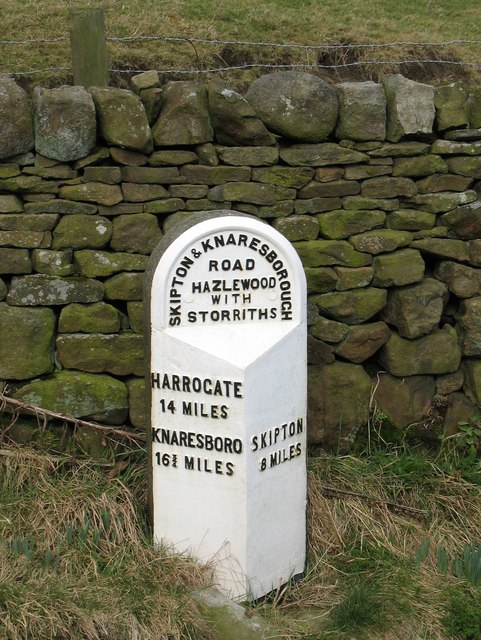
Hazlewood with Storiths
Hazlewood with Storiths is a civil parish in the Craven district of North Yorkshire, England. The population of the civil parish as of the 2011 census...

Hazlewood
Hazlewood is a hamlet in the English county of North Yorkshire. Hazlewood lies to the east of the town of Skipton by 7.5 miles (12.1 km) and is located...
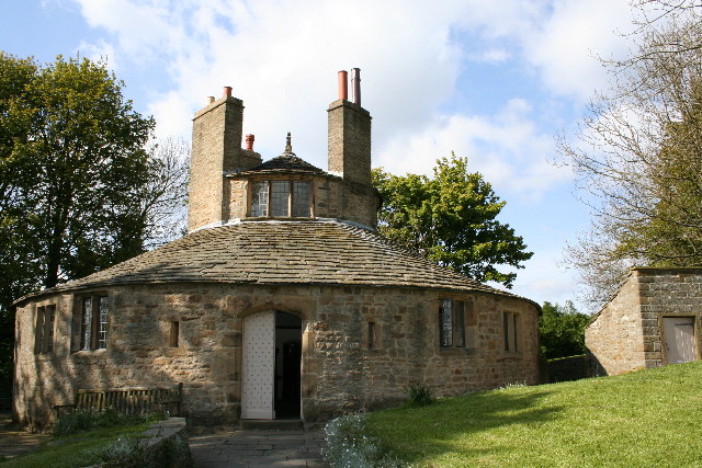
Beamsley Hospital
Beamsley Hospital is an Almshouse building at Beamsley, near Skipton in North Yorkshire, and founded in 1593 by the Lady Margaret Russell, the Countess...

Bolton Abbey
Bolton Abbey in Wharfedale, North Yorkshire, England, takes its name from the ruins of the 12th-century Augustinian monastery now known as Bolton Priory...
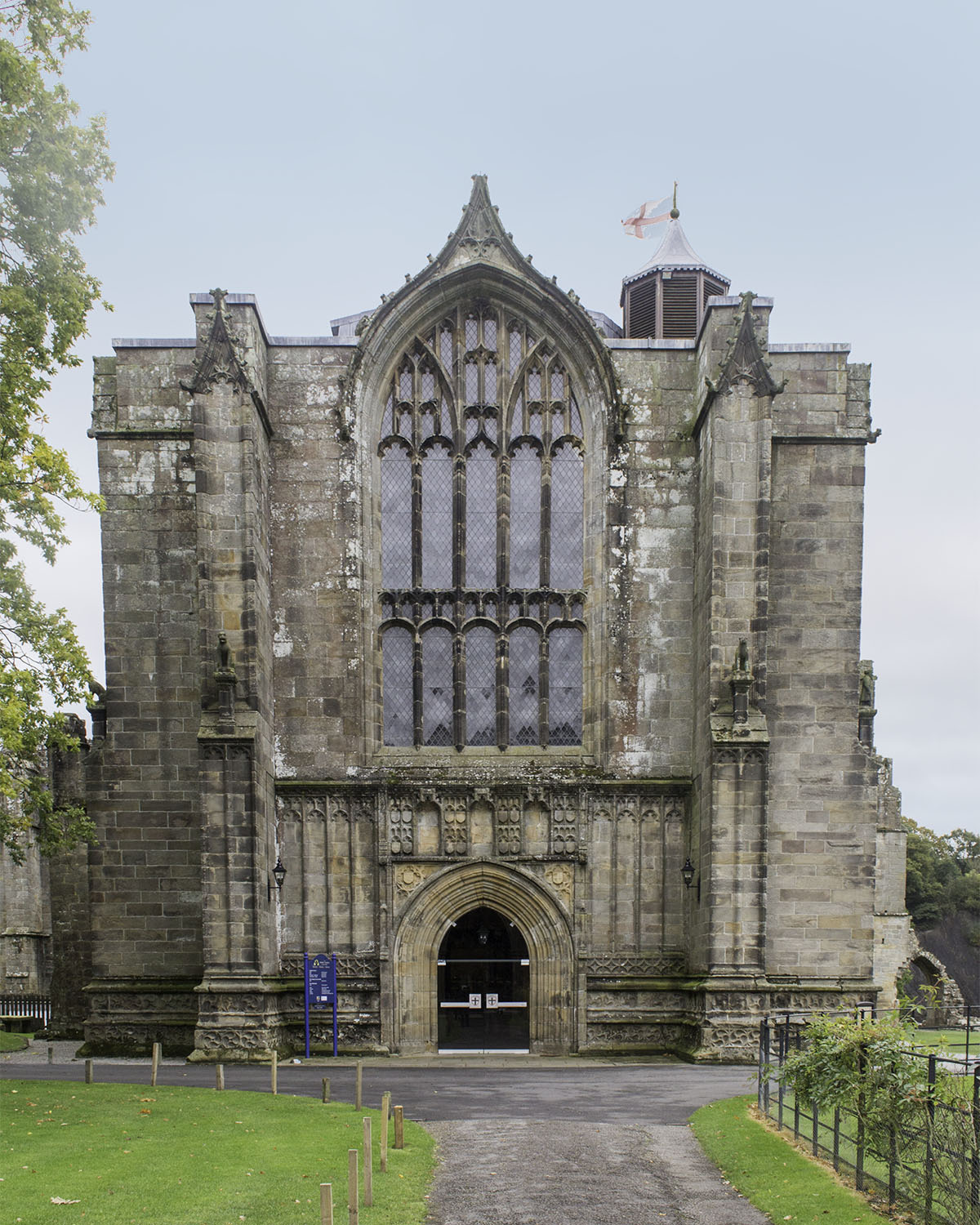
Bolton Priory
Bolton Priory, whose full title is The Priory Church of St Mary and St Cuthbert, Bolton Abbey, is a Grade I listed parish church of the Church of England...

Cavendish memorial fountain
The Cavendish memorial fountain is a drinking fountain erected in 1886 at Bolton Abbey, North Yorkshire, England as a memorial to Lord Frederick Cavendish...
Beamsley
Beamsley is a village and civil parish in the Craven district of North Yorkshire, England. It is just within the boundary of the Yorkshire Dales National...

Bolton Abbey (village)
Bolton Abbey is a village and civil parish in the Craven district of North Yorkshire, England, 22 miles (35 km) north-west of Leeds. The village lies in...
Nearby Amenities
Located within 500m of 53.9819,-1.8504365Have you been to Naze Nib Plantation?
Leave your review of Naze Nib Plantation below (or comments, questions and feedback).