Austby Wood

Wood, Forest in Yorkshire Harrogate

England

Austby Wood

Round Hill tumulus, Middleton Moor To the north are a number of cupstones with which this tumulus may be associated... or maybe not. Beyond is the view across Wharfedale, with Addingham Moor in the distance to the left.
Round Hill tumulus, Middleton Moor Credit: David Spencer

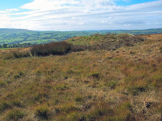
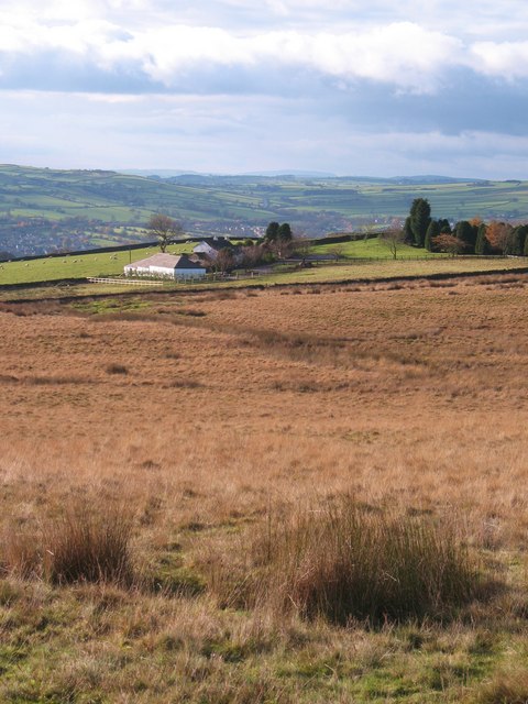
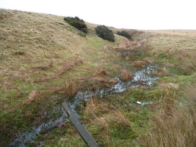
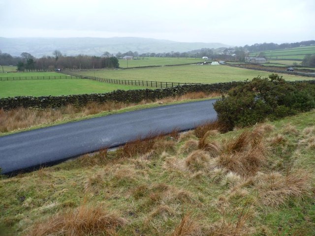
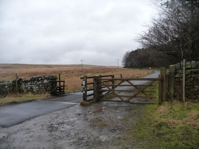
Austby Wood is a picturesque forest located in the county of Yorkshire, England. With its lush greenery and diverse wildlife, it is a haven for nature enthusiasts and an ideal spot for a peaceful retreat. The wood covers an area of approximately 100 acres and is predominantly made up of deciduous trees such as oak, beech, and birch, which create a vibrant tapestry of colors throughout the seasons.

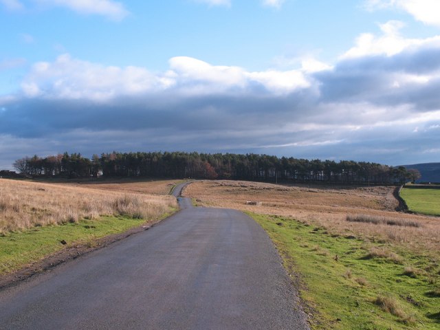
The wood boasts an extensive network of walking trails, allowing visitors to explore its beauty at their own pace. These trails meander through the forest, offering glimpses of enchanting flora and fauna along the way. Bluebells carpet the forest floor in spring, while in autumn, the trees transform into a dazzling display of reds, oranges, and golds.

The diverse range of wildlife in Austby Wood is another highlight of the area. Birdwatchers can delight in spotting various species, including woodpeckers, nuthatches, and tawny owls. Deer are also known to roam the forest, adding to its natural charm. The wood is well-preserved and managed, ensuring the protection of its inhabitants and the preservation of its natural beauty.

Austby Wood is a popular destination for outdoor activities such as hiking, photography, and picnicking. It offers visitors a chance to escape the hustle and bustle of everyday life and immerse themselves in the tranquility of nature. Whether it's a leisurely stroll or an adventurous hike, Austby Wood promises a serene and captivating experience for all who visit.

If you have any feedback on the listing, please let us know in the comments section below.
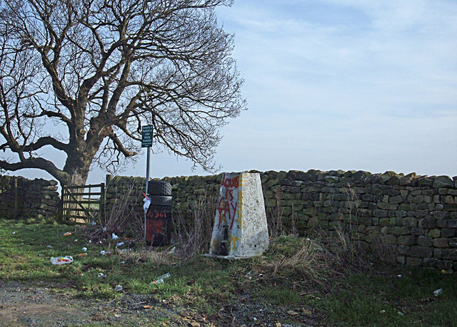
Austby Wood Images

Images are sourced within 2km of 53.940207/-1.8506616 or Grid Reference SE0949. Thanks to Geograph Open Source API. All images are credited.

Round Hill tumulus, Middleton Moor To the north are a number of cupstones with which this tumulus may be associated... or maybe not. Beyond is the view across Wharfedale, with Addingham Moor in the distance to the left.
Round Hill tumulus, Middleton Moor
To the north are a number of cupstones with which this tumulus may be associated... or maybe not. Beyond is the view across Wharfedale, with Addingham Moor in the distance to the left.
Ling Park Trig Pillar Situated at 245 metres above sea level on the back road between Ilkley and Beamsley. This would have been a very pleasant location had it not been for the rubbish strewn around and the graffiti.
Ling Park Trig Pillar
Situated at 245 metres above sea level on the back road between Ilkley and Beamsley. This would have been a very pleasant location had it not been for the rubbish strewn around and the graffiti.
Road across Middleton Low Moor A section of the road between Langbar and Middleton where it runs across open moorland. Ling Park Plantation is seen in the distance.
Road across Middleton Low Moor
A section of the road between Langbar and Middleton where it runs across open moorland. Ling Park Plantation is seen in the distance.
Low Moor, Langbar Low Moor, close to where it gives way to improved land at about 250m above sea level in lower Wharfedale.
Low Moor, Langbar
Low Moor, close to where it gives way to improved land at about 250m above sea level in lower Wharfedale.
Footpath on Low Moor A rather muddy soggy excuse for a footpath follows the stunted wall on Low Moor, heading towards Chapel House
Footpath on Low Moor
A rather muddy soggy excuse for a footpath follows the stunted wall on Low Moor, heading towards Chapel House
Moor End Farm Farmhouse on the edge of Langbar Moor
Moor End Farm
Farmhouse on the edge of Langbar Moor
Track leading onto Langbar Moor Rough track leaving the lane beside Moor End Farm
Track leading onto Langbar Moor
Rough track leaving the lane beside Moor End Farm
Milestone on Middleton Moor For a view of the location see <a href="https://www.geograph.org.uk/photo/3009035">SE1150 : Hunger Hill track on Middleton Moor</a>
Milestone on Middleton Moor
For a view of the location see SE1150 : Hunger Hill track on Middleton Moor
Hunger Hill track on Middleton Moor To the left of the pole is the milestone shown at <a href="https://www.geograph.org.uk/photo/3009025">SE1150 : Milestone on Middleton Moor</a>
There's a benchmark on the milestone
Hunger Hill track on Middleton Moor
To the left of the pole is the milestone shown at SE1150 : Milestone on Middleton Moor There's a benchmark on the milestone
Lane to Nesfield at Low Moor
Moor End Farm
Moor End Farm
Gully of a moorland stream coming from Delves Tarn On the east side of Hardings Lane, near Moor End Farm.
Gully of a moorland stream coming from Delves Tarn
On the east side of Hardings Lane, near Moor End Farm.
Moorland stream coming from Delves Tarn About to pass under Hardings Lane.
Moorland stream coming from Delves Tarn
About to pass under Hardings Lane.
Moor End Farm, Langbar Farming at the edge of moorland, about 240 metres above sea level.
Moor End Farm, Langbar
Farming at the edge of moorland, about 240 metres above sea level.
Fencing in a land of drystone walls Field boundaries on the west side of Hardings Lane at Moor End, Langbar.
Fencing in a land of drystone walls
Field boundaries on the west side of Hardings Lane at Moor End, Langbar.
Unmapped path on Middleton Low Moor On the east side of Hardings Lane. A continuation of Nesfield Lane.
Unmapped path on Middleton Low Moor
On the east side of Hardings Lane. A continuation of Nesfield Lane.
Cattle grid, Hardings Lane On a wet and windy winter's afternoon, a runner in bright yellow is making their way up Ellishaw Hill.
Cattle grid, Hardings Lane
On a wet and windy winter's afternoon, a runner in bright yellow is making their way up Ellishaw Hill.
Trig point between Ellishaw Hill and Ling Park At 245 metres above sea level.
Trig point between Ellishaw Hill and Ling Park
At 245 metres above sea level.
Show me another place!

Austby Wood is located at Grid Ref: SE0949 (Lat: 53.940207, Lng: -1.8506616)

Division: West Riding

Administrative County: North Yorkshire

District: Harrogate

Police Authority: North Yorkshire

What 3 Words

///cult.comedy.earful. Near Addingham, West Yorkshire

Related Wikis

Nesfield

Nesfield is a small village, 2 miles (3.2 km) north-west of Ilkley on the north bank of the River Wharfe, in the civil parish of Nesfield with Langbar...

Ilkley Golf Club

Ilkley Golf Club is a golf club in North Yorkshire, England, just outside the town of Ilkley in West Yorkshire. It is located about a mile to the northwest...

St Peter's Church, Addingham

St Peter's Church is a Church of England parish church in Addingham, West Yorkshire. It is a Grade I listed building, with the main structure dating to...

Dales Way

The Dales Way is an 78.5-mile (126.3 km) long-distance footpath in Northern England, from (south-east to north-west) Ilkley, West Yorkshire, to Bowness...

Heathcote, Ilkley

Heathcote is a Neoclassical-style villa in Ilkley, West Yorkshire, England. Designed by architect Edwin Lutyens, it was his first comprehensive use of...

Addingham railway station

Addingham railway station was on the Midland Railway route from Skipton to Ilkley. It served the village of Addingham in West Yorkshire, England. ��2...

Ilkley Lido

Ilkley Lido is an open-air swimming pool in the West Yorkshire, England, spa town of Ilkley, part of a complex that also includes an indoor heated swimming...
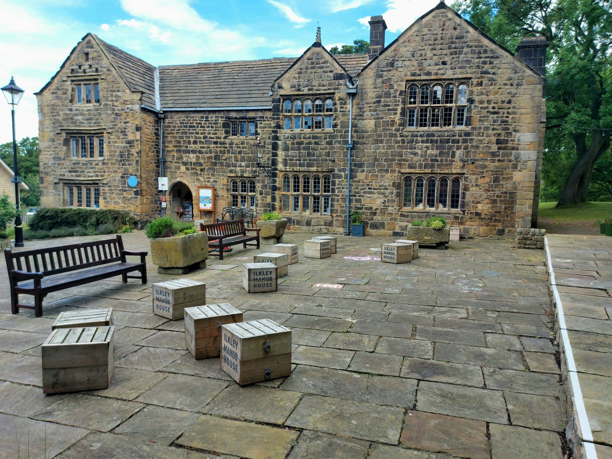
Ilkley Manor House

Ilkley Manor House, Ilkley, West Yorkshire, England, is a local heritage museum, art gallery, and live venue, and was established in the present building...

Nearby Amenities

Located within 500m of 53.940207,-1.8506616
High Austby
Building: yes
Source: NPE
Lat/Long: 53.9404013/-1.8494894
Barrier: stile
Lat/Long: 53.9398738/-1.853858
Barrier: stile
Lat/Long: 53.9399865/-1.8500117
Barrier: stile
Lat/Long: 53.9402992/-1.8574622
Barrier: stile
Lat/Long: 53.9402266/-1.8481399
Ford: yes
Lat/Long: 53.942697/-1.8552578
The data included in this document is from www.openstreetmap.org. The data is made available under ODbL.

Have you been to Austby Wood?

Leave your review of Austby Wood below (or comments, questions and feedback).