Adelphi Plantations

Wood, Forest in Durham

England

Adelphi Plantations

Ploughed fields and hedgerow On the B6296 Lanchester to Wolsingham road. West Carr Farm <a href="https://www.geograph.org.uk/gridref/NZ1140">NZ1140</a> can be seen on the hillside opposite. High Hedley Hope Windfarm <a href="https://www.geograph.org.uk/photo/146415">NZ1440 : High Hedley Hope Windfarm</a> is on the skyline.
Ploughed fields and hedgerow Credit: Oliver Dixon

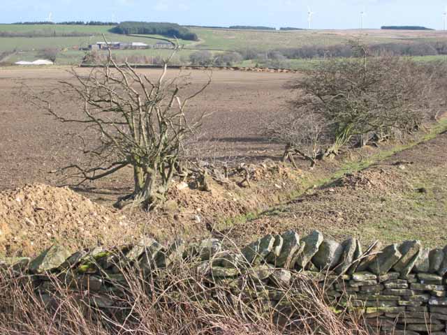
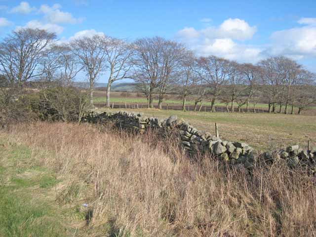
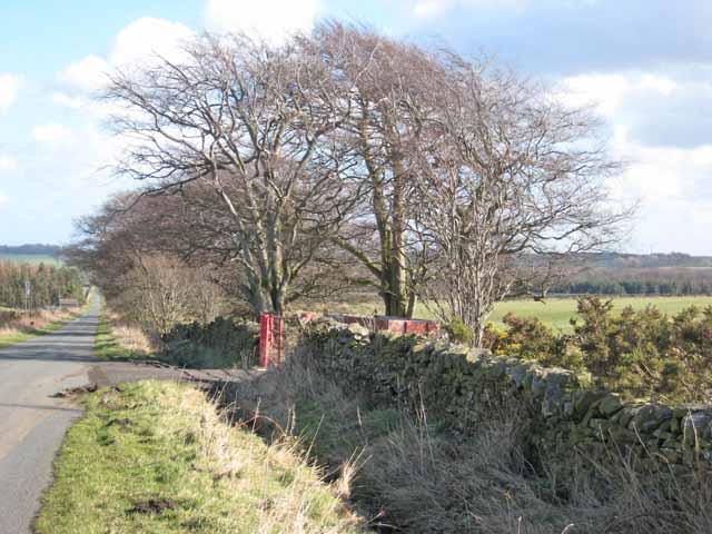
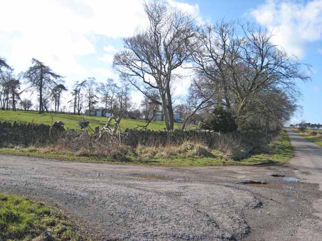
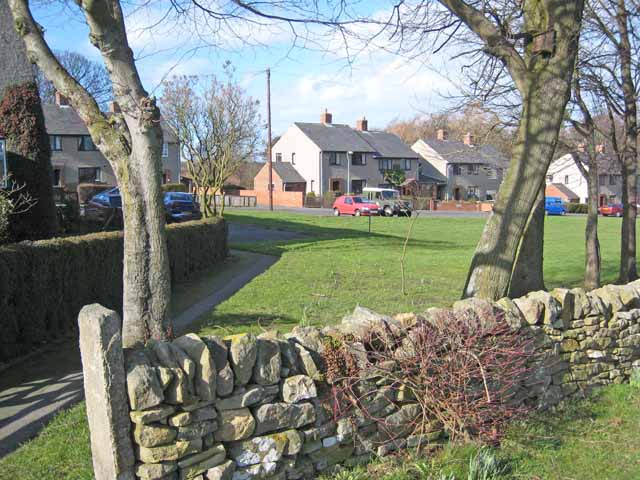
Adelphi Plantations, located in Durham, is a prominent wood and forest area that spans over a vast expanse of land. Situated in the northeastern part of England, Adelphi Plantations is renowned for its rich biodiversity and stunning natural beauty.

Covering an area of approximately 500 acres, this plantation boasts a diverse range of trees, including oak, beech, pine, and birch. These trees not only contribute to the picturesque landscape but also serve as a habitat for numerous species of flora and fauna. The plantation is home to a variety of wildlife, such as deer, foxes, rabbits, and a wide array of bird species.

Adelphi Plantations is a popular destination for nature enthusiasts, hikers, and birdwatchers. Its well-maintained trails offer visitors the opportunity to immerse themselves in the tranquil surroundings and explore the plantation's hidden gems. The plantation is also equipped with picnic areas and benches, providing visitors with a chance to relax and enjoy the scenic views.

The wood from Adelphi Plantations has been utilized for various purposes, including timber production and fuel. The responsible management of the plantation ensures the sustainable harvesting of trees, promoting the long-term viability of the woodland.

Additionally, Adelphi Plantations is committed to environmental conservation and actively participates in reforestation initiatives. Regular maintenance and care are provided to ensure that the plantation continues to thrive and provide a haven for wildlife.

In conclusion, Adelphi Plantations in Durham is a remarkable woodland area that encompasses a diverse range of trees, supports abundant wildlife, and offers visitors an opportunity to connect with nature. Its commitment to sustainable practices and environmental conservation make it a valuable asset in preserving the natural beauty of the region.

If you have any feedback on the listing, please let us know in the comments section below.

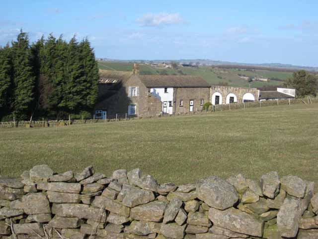
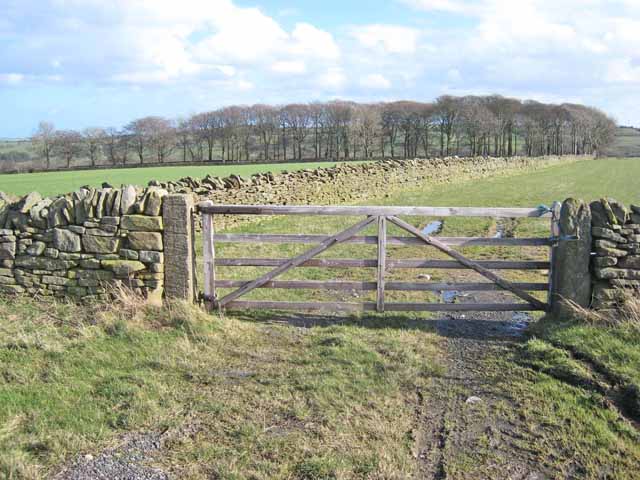
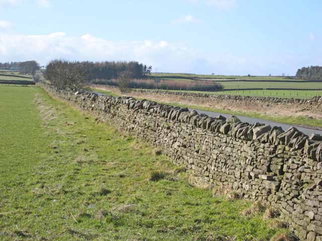
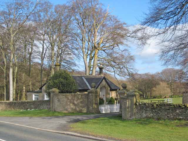
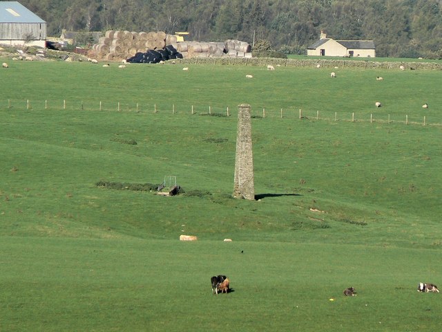
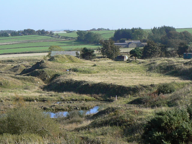
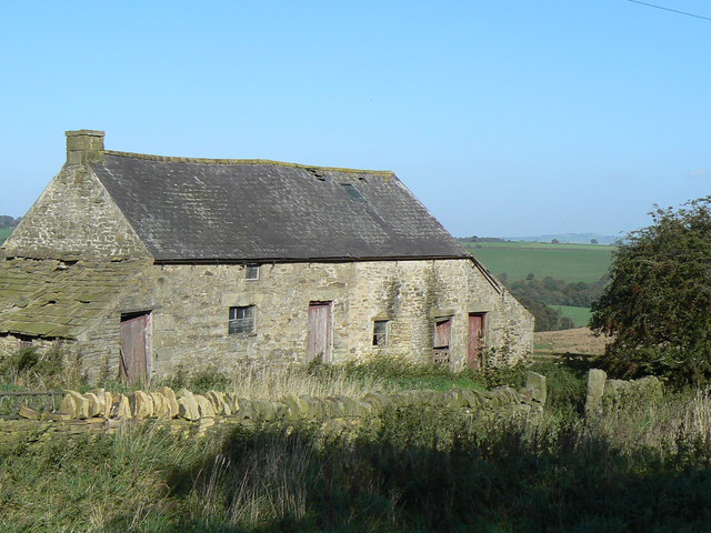
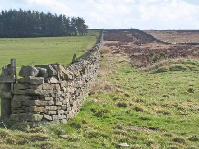
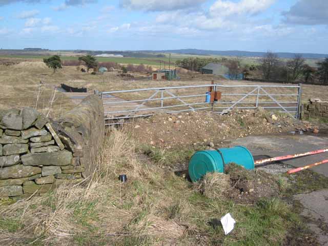
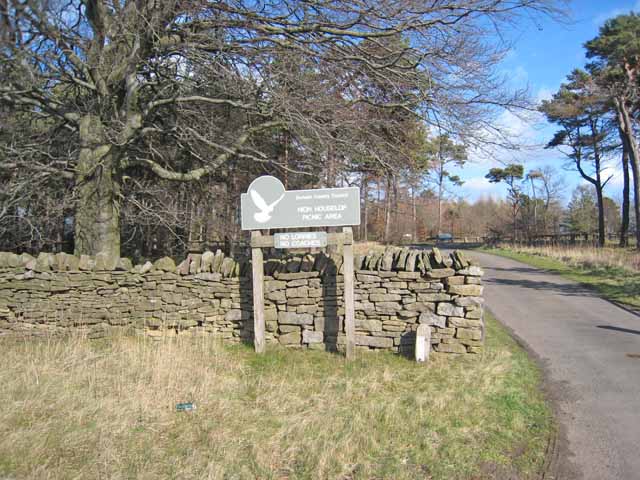
Adelphi Plantations Images

Images are sourced within 2km of 54.777356/-1.8498071 or Grid Reference NZ0942. Thanks to Geograph Open Source API. All images are credited.

Ploughed fields and hedgerow On the B6296 Lanchester to Wolsingham road. West Carr Farm <a href="https://www.geograph.org.uk/gridref/NZ1140">NZ1140</a> can be seen on the hillside opposite. High Hedley Hope Windfarm <a href="https://www.geograph.org.uk/photo/146415">NZ1440 : High Hedley Hope Windfarm</a> is on the skyline.
Ploughed fields and hedgerow
On the B6296 Lanchester to Wolsingham road. West Carr Farm NZ1140 can be seen on the hillside opposite. High Hedley Hope Windfarm NZ1440 : High Hedley Hope Windfarm is on the skyline.
Row of trees Seen from the B6296 Wolsingham to Lanchester road.
Row of trees
Seen from the B6296 Wolsingham to Lanchester road.
The road from Salter's Gate to Satley
Entrance to Adelphi Farm Seen from the Salter's Gate to Satley road. Assorted caravans and temporary buildings in the background.
Entrance to Adelphi Farm
Seen from the Salter's Gate to Satley road. Assorted caravans and temporary buildings in the background.
Byerley House
Byerley House
Gate and wood Seen from the B6296 Wolsingham to Lanchester road.
Gate and wood
Seen from the B6296 Wolsingham to Lanchester road.
Droverhouse Lane Seen from the Satley end. Typical of the network of straight roads in this corner of County Durham.
Droverhouse Lane
Seen from the Satley end. Typical of the network of straight roads in this corner of County Durham.
Lodge to Broomshiels Hall Seen from the B6296 Wolsingham to Lanchester road.
Lodge to Broomshiels Hall
Seen from the B6296 Wolsingham to Lanchester road.
Satley Modern housing is concentrated at the top end of the village.
Satley
Modern housing is concentrated at the top end of the village.
Mast near High Stoop 320m up, this could be a wind survey mast.
Mast near High Stoop
320m up, this could be a wind survey mast.
Wind farm under construction
Tree shrouded farm Just a few hundred yards west of the busy A68 trunk road, this quiet minor road passes a farm.
Tree shrouded farm
Just a few hundred yards west of the busy A68 trunk road, this quiet minor road passes a farm.
Abandoned chimney This isolated brick chimney, left over from an industrial past, still dominates the agricultural scene near Quickburn Grange.
Abandoned chimney
This isolated brick chimney, left over from an industrial past, still dominates the agricultural scene near Quickburn Grange.
Old quarry The remains of the now disused Quickburn Quarry.
Old quarry
The remains of the now disused Quickburn Quarry.
Old farm building Building a little to the north of Springwell Farm.
Old farm building
Building a little to the north of Springwell Farm.
Parallel walls,  Saltersgate Lane Saltersgate Lane, of which this is the southernmost extension, is a 1.5 km straight road between widely spaced walls which isn't going anywhere obviously useful. It is probable that it served way back in time as both a drovers road and as a salt road. There are many relics of the Burnhill Junction Munitions Dump (closed 1969) nearby.
Parallel walls, Saltersgate Lane
Saltersgate Lane, of which this is the southernmost extension, is a 1.5 km straight road between widely spaced walls which isn't going anywhere obviously useful. It is probable that it served way back in time as both a drovers road and as a salt road. There are many relics of the Burnhill Junction Munitions Dump (closed 1969) nearby.
A spot of rural dereliction Access to the disused Quickburn Quarry.
A spot of rural dereliction
Access to the disused Quickburn Quarry.
High Houselop Picnic Area Adjacent to the A68.
High Houselop Picnic Area
Adjacent to the A68.
Show me another place!

Adelphi Plantations is located at Grid Ref: NZ0942 (Lat: 54.777356, Lng: -1.8498071)

Unitary Authority: County Durham

Police Authority: Durham

What 3 Words

///forkful.revival.overgrown. Near Tow Law, Co. Durham

Related Wikis

West Durham Wind Farm

West Durham Wind Farm is a wind farm near Tow Law, County Durham, England. == History == Developed by County Durham-based company the Banks Group, the...

Satley

Satley is a village and civil parish in County Durham, England, with a population of 292 in 2001, falling to 282 at the 2011 Census. It is situated six...

High Stoop

High Stoop is a village in County Durham, England. It is situated a short distance to the north-west of Tow Law, on the A68. == References ==

Inkerman, County Durham

Inkerman was a village in County Durham, England. Built in 1854–1855 a short distance to the north-west of Tow Law to house ironstone miners, it was named...

Murder of Harry Collinson

The murder of Harry Collinson, the planning officer for Derwentside District Council, occurred on 20 June 1991 at Butsfield, County Durham, England. At...

Hall Hill Farm

Hall Hill Farm is a tourist attraction located in County Durham, near Tow Law, England. == History == Ann Darlington is the current tourism manager at...

Butsfield

Butsfield is a village in County Durham, England. It is situated a few miles to the south of Consett, near the village of Satley. Butsfield Burn Farm is...

Backstone Bank and Baal Hill Woods

Backstone Bank and Baal Hill Woods is a Site of Special Scientific Interest in the County Durham district of Durham, England. It occupies the steep eastern...

Nearby Amenities

Located within 500m of 54.777356,-1.8498071
Bus Stop
Drover House
Naptan AtcoCode: 13001833D
Naptan Bearing: SE
Naptan BusStopType: CUS
Naptan CommonName: Drover House
Naptan Indicator: south east bound
Naptan Landmark: Landmark not known
Naptan NaptanCode: durajtga
Naptan Notes: Drover House- on A68- south of junction with Droverhouse Lane- NW of Tow Law.
Naptan Street: A68
Naptan Verified: no
Physically Present: no
Source: naptan_import
Lat/Long: 54.7778322/-1.8537504
Bus Stop
Drover House
Naptan AtcoCode: 13001833H
Naptan Bearing: NW
Naptan BusStopType: CUS
Naptan CommonName: Drover House
Naptan Indicator: north west bound
Naptan Landmark: Landmark not known
Naptan NaptanCode: durajtgd
Naptan Notes: Drover House- on A68- south of junction with Droverhouse Lane- NW of Tow Law.
Naptan Street: A68
Naptan Verified: no
Physically Present: no
Source: naptan_import
Lat/Long: 54.7778144/-1.8538904
Adelphi
Place: farm
Source Name: OS OpenData StreetView
Lat/Long: 54.7760513/-1.8434715
Power: pole
Lat/Long: 54.777572/-1.8569952
Power: pole
Lat/Long: 54.7767119/-1.8568477
Power: pole
Lat/Long: 54.7758394/-1.8567109
Power: pole
Lat/Long: 54.7750318/-1.8564266
The data included in this document is from www.openstreetmap.org. The data is made available under ODbL.

Have you been to Adelphi Plantations?

Leave your review of Adelphi Plantations below (or comments, questions and feedback).