Farhill Covert

Wood, Forest in Gloucestershire Cotswold

England

Farhill Covert

The Diamond Way and Gloucestershire Way To the west of Notgrove the two long distance paths converge here for a short distance. In the valley bottom the Gloucestershire Way turns right.
The Diamond Way and Gloucestershire Way Credit: Philip Halling

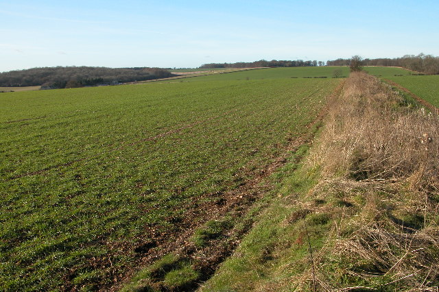
Farhill Covert is a picturesque woodland located in the county of Gloucestershire, England. Situated in the heart of the Forest of Dean, this enchanting woodland covers an area of approximately 50 acres. The covert is known for its abundant wildlife, tranquil atmosphere, and diverse range of trees.

The woodland is predominantly composed of native broadleaf trees, including oak, beech, and ash, which create a dense canopy overhead. The rich undergrowth consists of ferns, bluebells, and wild garlic, adding to the natural beauty of the area. The forest floor is often covered in a lush carpet of moss and fallen leaves, creating a soft and inviting pathway for visitors.

Farhill Covert is home to a variety of wildlife species, making it a popular spot for nature enthusiasts and birdwatchers. Visitors may catch glimpses of roe deer, foxes, badgers, and squirrels as they explore the woodland trails. The trees provide nesting sites for birds such as woodpeckers, owls, and thrushes, filling the air with their melodious songs.

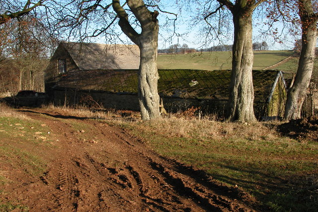
The woodland offers numerous walking trails, allowing visitors to immerse themselves in the peaceful and serene surroundings. These trails range in difficulty, catering to both casual strollers and more experienced hikers. Along the way, benches and picnic areas are strategically placed, offering opportunities for rest and relaxation amidst nature's beauty.

Farhill Covert is a hidden gem within Gloucestershire, offering a true escape from the hustle and bustle of everyday life. Whether one seeks solitude, a family outing, or a chance to reconnect with nature, this woodland provides a serene and captivating experience for all who visit.

If you have any feedback on the listing, please let us know in the comments section below.

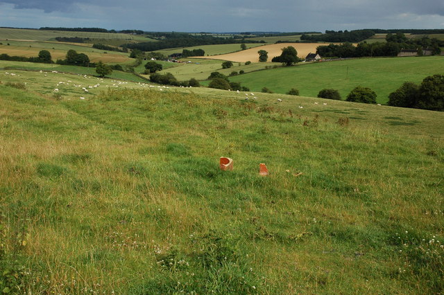
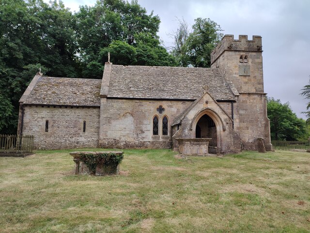
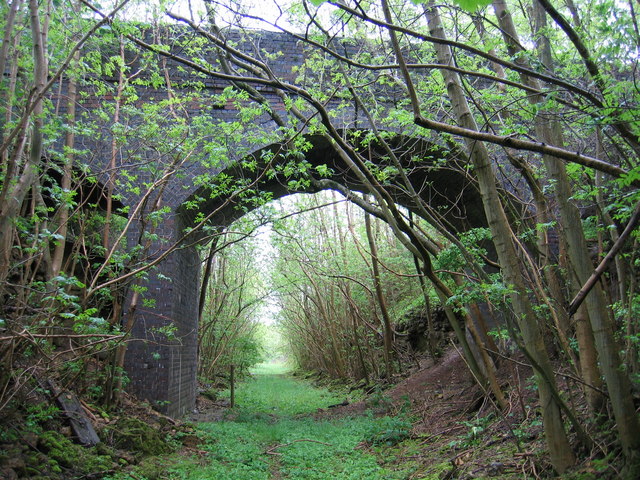
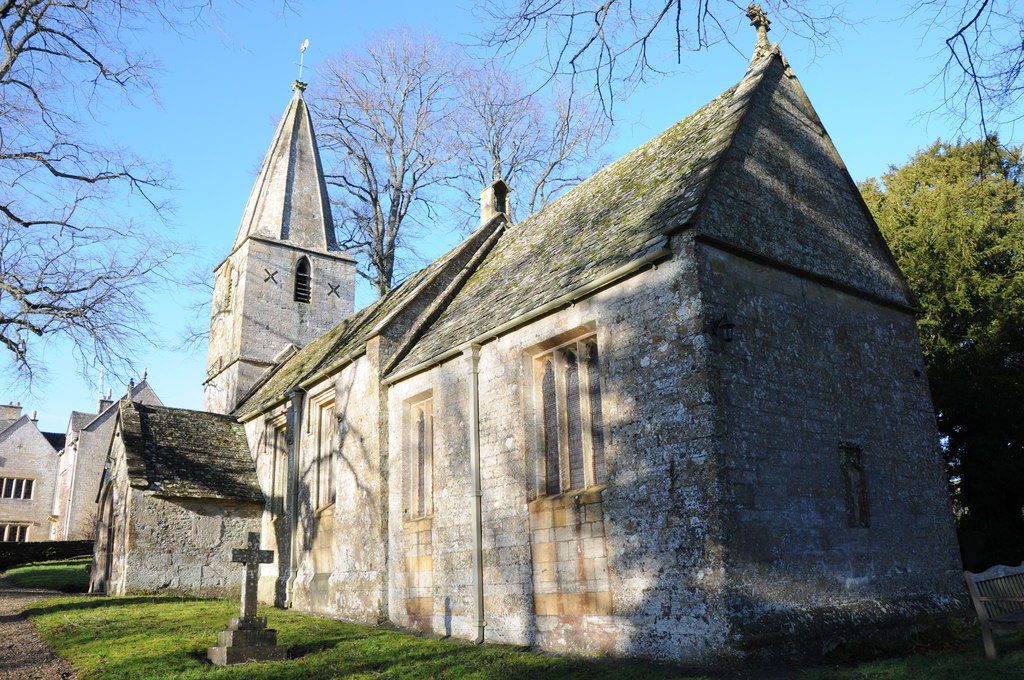
Farhill Covert Images

Images are sourced within 2km of 51.877188/-1.8676469 or Grid Reference SP0919. Thanks to Geograph Open Source API. All images are credited.

The Diamond Way and Gloucestershire Way To the west of Notgrove the two long distance paths converge here for a short distance. In the valley bottom the Gloucestershire Way turns right.
The Diamond Way and Gloucestershire Way
To the west of Notgrove the two long distance paths converge here for a short distance. In the valley bottom the Gloucestershire Way turns right.
Hazleton Grove View west to Canon's Barn and Hazleton Grove (the woodland on the left).
Hazleton Grove
View west to Canon's Barn and Hazleton Grove (the woodland on the left).
Downs Barn At the time of my visit the old barns are used to store large bales of straw.

I returned to photograph this same barn eight years later, by when it was beginning to show signs of neglect <a href="https://www.geograph.org.uk/photo/3793483">SP0918 : Downs Barn</a>.
Downs Barn
At the time of my visit the old barns are used to store large bales of straw. I returned to photograph this same barn eight years later, by when it was beginning to show signs of neglect SP0918 : Downs Barn.
Salperton church (All Saints) The church is some distance from the village, next to Salperton Hall, the edge of which can be seen to the left.
Salperton church (All Saints)
The church is some distance from the village, next to Salperton Hall, the edge of which can be seen to the left.
Farhill Farm Farhill farm is situated between the villages of Salperton and Notgrove, the Gloucestershire passes through this farm and joins the Diamond way at the point from where this picture is taken.
Farhill Farm
Farhill farm is situated between the villages of Salperton and Notgrove, the Gloucestershire passes through this farm and joins the Diamond way at the point from where this picture is taken.
Farmland at Hazleton Farmland to the east of the small Cotswold village of Hazleton.
Farmland at Hazleton
Farmland to the east of the small Cotswold village of Hazleton.
Salperton Church Salperton church is dedicated to All Saints, it is located some distance from the village and stands immediately to the south of Salperton Park. The church is Norman, however, the tower was rebuilt in 1700 after its predecessor collapsed.
Salperton Church
Salperton church is dedicated to All Saints, it is located some distance from the village and stands immediately to the south of Salperton Park. The church is Norman, however, the tower was rebuilt in 1700 after its predecessor collapsed.
Salperton Park Salperton Park viewed from the west. The west front pictured here was built around 1760-70 in a Palladian style, probably for Thomas Browne. The house and parish church, which is situated immediate to the south of the house is set in splendid parkland to the south of the small village of Salperton.
Salperton Park
Salperton Park viewed from the west. The west front pictured here was built around 1760-70 in a Palladian style, probably for Thomas Browne. The house and parish church, which is situated immediate to the south of the house is set in splendid parkland to the south of the small village of Salperton.
Salperton Park and church Salperton Park viewed from the west. The west front pictured here was built around 1760-70 in a Palladian style, probably for Thomas Browne. The tower of the parish church can be seen above the tree on the right.
Salperton Park and church
Salperton Park viewed from the west. The west front pictured here was built around 1760-70 in a Palladian style, probably for Thomas Browne. The tower of the parish church can be seen above the tree on the right.
Salperton park on an autumnal morning
Windrush Way Windrush Way heading past Downs Barn
Windrush Way
Windrush Way heading past Downs Barn
Windrush Way Windrush Way rerouted now around Westfield House
Windrush Way
Windrush Way rerouted now around Westfield House
Salperton Church
Salperton Church
All Saints church, Salperton There is a rather nice inscription on the foreground stone: "If I know what love is it is because of you".
All Saints church, Salperton
There is a rather nice inscription on the foreground stone: "If I know what love is it is because of you".
Salperton Park The house in Salperton estate is never close enough to see properly.  This is a visible as it gets.  The estate is used for country sports and is also available to visit and stay via this website <span class="nowrap"><a title="http://www.morethangoodmanners.com/stately-home-stays/stately-homes-manors-and-halls-accommodation/salperton-park" rel="nofollow ugc noopener" href="http://www.morethangoodmanners.com/stately-home-stays/stately-homes-manors-and-halls-accommodation/salperton-park">Link</a><img style="margin-left:2px;" alt="External link" title="External link - shift click to open in new window" src="https://s1.geograph.org.uk/img/external.png" width="10" height="10"/></span>
Salperton Park
The house in Salperton estate is never close enough to see properly. This is a visible as it gets. The estate is used for country sports and is also available to visit and stay via this website LinkExternal link
Bridleway to Hazleton This bridleway goes through the Salperton estate, where there is a great horse riding tradition.
Bridleway to Hazleton
This bridleway goes through the Salperton estate, where there is a great horse riding tradition.
Track on the Salperton estate This is not a public right of way, it is farm access to the arable fields on the higher land.
Track on the Salperton estate
This is not a public right of way, it is farm access to the arable fields on the higher land.
Bridleway at Farhill Farm There are many bridleways in the area.  This one also happens to be on the Gloucestershire Way, a named route across Gloucestershire.
Bridleway at Farhill Farm
There are many bridleways in the area. This one also happens to be on the Gloucestershire Way, a named route across Gloucestershire.
Show me another place!

Farhill Covert is located at Grid Ref: SP0919 (Lat: 51.877188, Lng: -1.8676469)

Administrative County: Gloucestershire

District: Cotswold

Police Authority: Gloucestershire

What 3 Words

///fabric.fictional.solo. Near Westfield, Gloucestershire

Related Wikis

Notgrove Railway Cutting

Notgrove Railway Cutting (grid reference SP086209) is a 1.7-hectare (4.2-acre) geological Site of Special Scientific Interest in Gloucestershire, notified...

Notgrove railway station

Notgrove railway station was a Gloucestershire station on the Great Western Railway's Banbury and Cheltenham Direct Railway. == History == The station...

Notgrove Long Barrow

Notgrove Long Barrow is a prehistoric long barrow burial mound in Gloucestershire, England. It consists of a large mound with a passage running through...

Notgrove

Notgrove is a village and civil parish in Gloucestershire, England, approximately 28.5 (17.8 miles) to the east of Gloucester. It lies in the Cotswolds...

Nearby Amenities

Located within 500m of 51.877188,-1.8676469
The data included in this document is from www.openstreetmap.org. The data is made available under ODbL.

Have you been to Farhill Covert?

Leave your review of Farhill Covert below (or comments, questions and feedback).