Slidden Braes
Wood, Forest in Northumberland
England
Slidden Braes

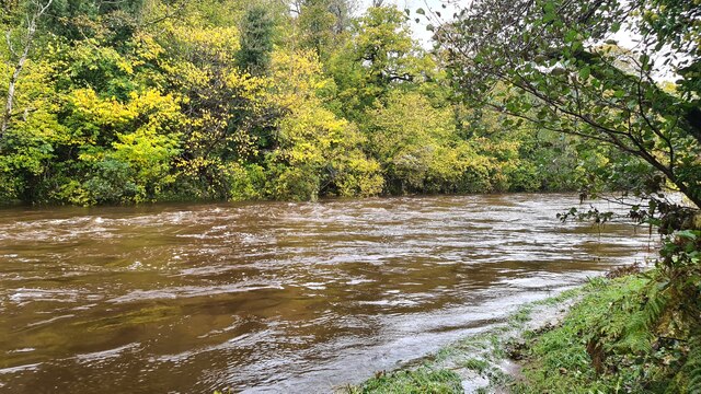
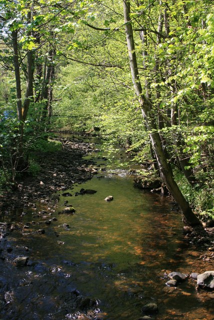
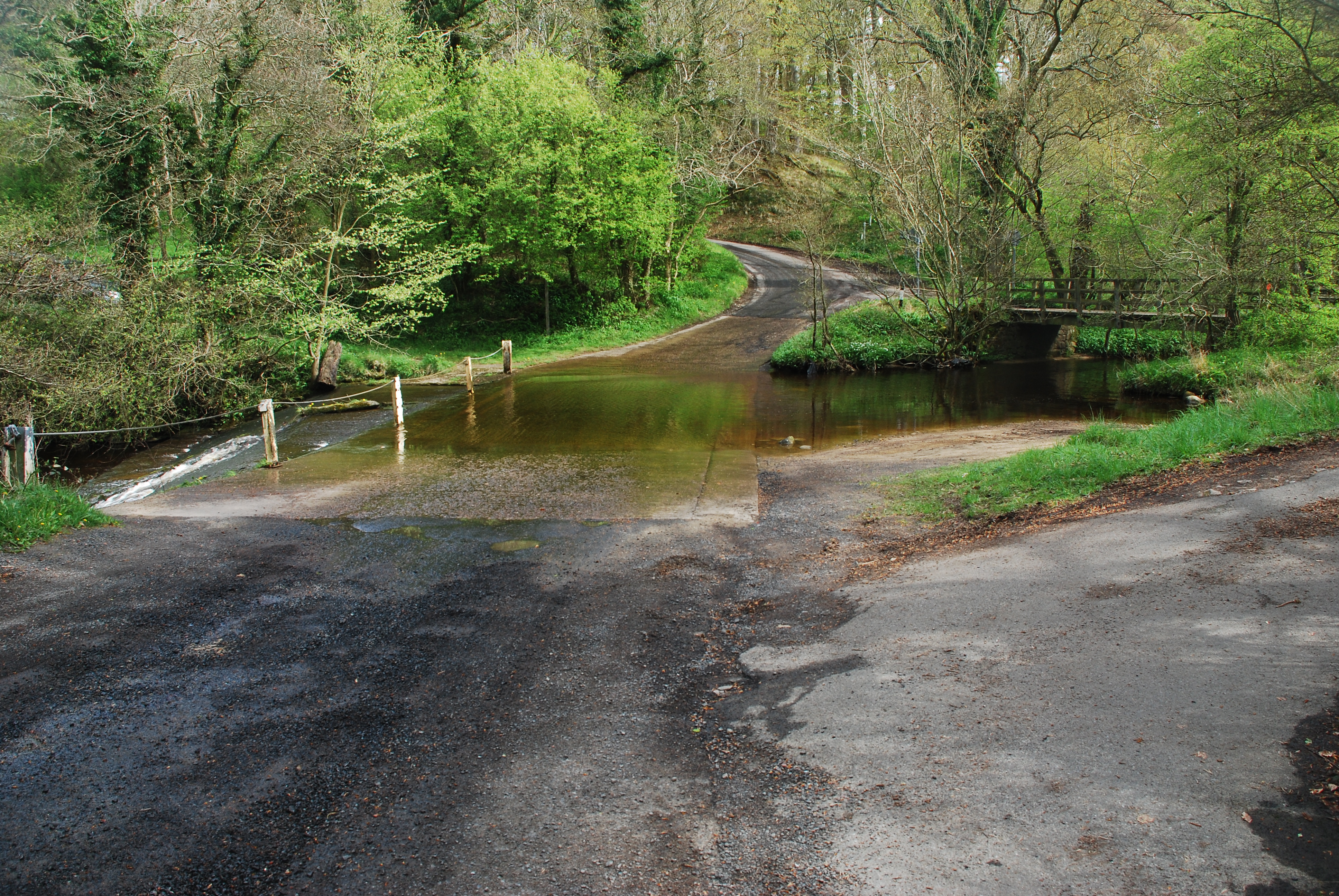
Slidden Braes is a picturesque woodland located in Northumberland, England. Situated near the village of Rothbury, it is known for its natural beauty and serene atmosphere. The woodland covers a vast area, offering visitors an opportunity to immerse themselves in a tranquil and peaceful environment.
The forest is characterized by its dense canopy of trees, primarily consisting of oak, beech, and birch. These majestic trees provide shade and create a cool and refreshing ambiance even during the hot summer months. The forest floor is covered with a thick carpet of moss, ferns, and wildflowers, adding to the enchanting charm of the area.
Slidden Braes is a haven for wildlife enthusiasts, as it is home to a diverse range of flora and fauna. Visitors may spot various bird species, including woodpeckers, owls, and thrushes, as well as small mammals like squirrels and rabbits. The forest is also known for its population of red deer, which can occasionally be seen grazing in the early morning or late evening.
Walking trails meander through the woodland, inviting visitors to explore the natural wonders of Slidden Braes. These trails offer a chance to admire the stunning panoramic views of the surrounding countryside and the nearby Simonside Hills. The peacefulness and tranquility of the area make it an ideal spot for hiking, picnicking, or simply unwinding amidst nature.
In conclusion, Slidden Braes in Northumberland is a captivating woodland that offers a sanctuary of natural beauty. With its diverse flora and fauna, walking trails, and breathtaking views, it is a must-visit destination for those seeking to reconnect with nature.
If you have any feedback on the listing, please let us know in the comments section below.
Slidden Braes Images
Images are sourced within 2km of 55.292684/-1.8581534 or Grid Reference NZ0999. Thanks to Geograph Open Source API. All images are credited.


Slidden Braes is located at Grid Ref: NZ0999 (Lat: 55.292684, Lng: -1.8581534)
Unitary Authority: Northumberland
Police Authority: Northumbria
What 3 Words
///amending.spent.differ. Near Rothbury, Northumberland
Nearby Locations
Related Wikis

Brinkburn railway station
Brinkburn was a weatherboard- and corrugated-iron-built railway station in Northumberland on the Rothbury Branch built to serve the Healy Coate Colliery...

Cragend Silo
Cragend Silo is a Grade II* listed building located at Cragend Farm near the town of Rothbury in Northumberland, England. It was designed and built by...
Hesleyhurst
Hesleyhurst is a civil parish in the county of Northumberland in England. At the 2011 Census the population was only minimal. It is served by a joint parish...

Brinkburn
Brinkburn is a civil parish in Northumberland, England. It is divided by the River Coquet. The parish includes the hamlet of Pauperhaugh. == History... ==
Related Videos

Escape to Cragside: Find Peace and Serenity in Autumn
Welcome back to Part two of my explore of Cragside in the Northumberland national park. Last week we explored the gorgeous ...

Cragside-National Trust. Rothbury in Morpeth.
Cragside a National Trust propery set in beautiful surroundings There is the house, formal gardens, pinetum and rock garden to ...

WE EXPLORED CRAGSIDE IN NORTHUMBERLAND, THE WORLDS FIRST HYDRO-ELECTRIC HOUSE!
Come with us as we explore the gardens of Cragside in Northumberland. Sadly the main building was closed on this day but will ...

Healing climate harm at Cragside, Northumberland
The first house in the world to be lit by hydroelectricity and full of Victorian gadgets and innovations, Cragside in Northumberland ...
Nearby Amenities
Located within 500m of 55.292684,-1.8581534Have you been to Slidden Braes?
Leave your review of Slidden Braes below (or comments, questions and feedback).