Bull Coppice

Wood, Forest in Yorkshire Harrogate

England

Bull Coppice

Road across Middleton Low Moor A section of the road between Langbar and Middleton where it runs across open moorland. Ling Park Plantation is seen in the distance.
Road across Middleton Low Moor Credit: Gordon Hatton

Bull Coppice is a charming woodland located in the county of Yorkshire, England. Covering an area of approximately 100 acres, it is nestled in the heart of the Yorkshire Dales National Park. The coppice is named after the thriving population of wild bulls that once roamed the area, although they are no longer present.

The woodland is renowned for its breathtaking natural beauty and diverse ecosystem. It is predominantly composed of oak trees, with occasional pockets of ash, beech, and birch. The dense canopy overhead creates a tranquil and shaded environment, making it a popular destination for nature lovers and hikers.

Bull Coppice offers a range of walking trails, varying in difficulty and length, catering to both beginners and experienced hikers. The paths wind through the woodland, providing visitors with the opportunity to observe the rich wildlife that inhabits the area. Red squirrels, badgers, and various species of birds, including the great spotted woodpecker and tawny owl, can often be spotted among the trees.

In addition to its natural beauty, Bull Coppice is also home to a variety of historical and cultural features. The remains of an ancient Roman settlement can be found on its outskirts, serving as a reminder of the area's rich history. The woodland has also been a source of inspiration for many artists and writers throughout the years.

Overall, Bull Coppice is a hidden gem in Yorkshire, offering visitors a chance to immerse themselves in the tranquility of nature while exploring its history and diverse wildlife.

If you have any feedback on the listing, please let us know in the comments section below.
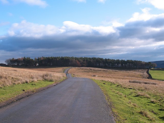
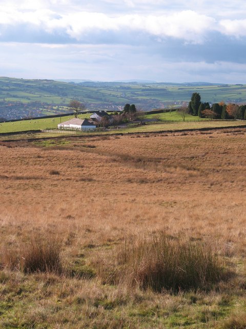
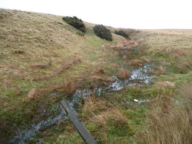
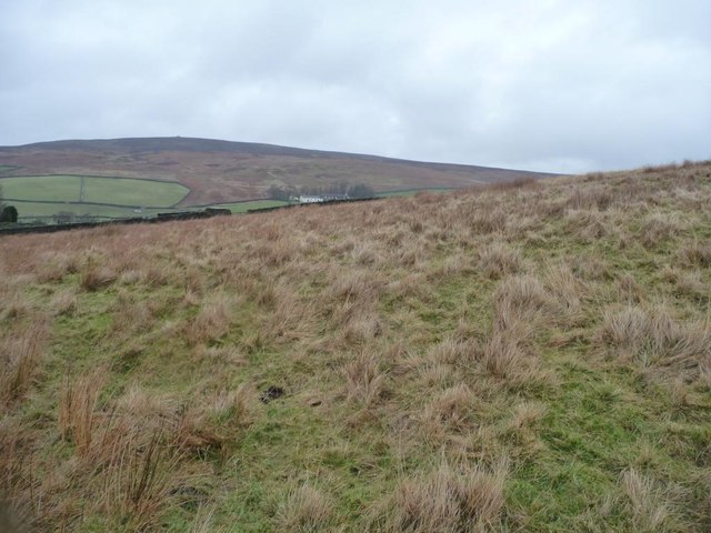
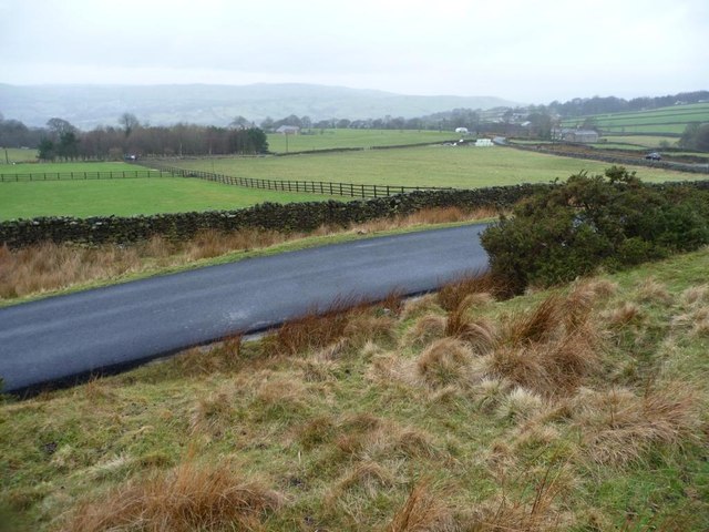
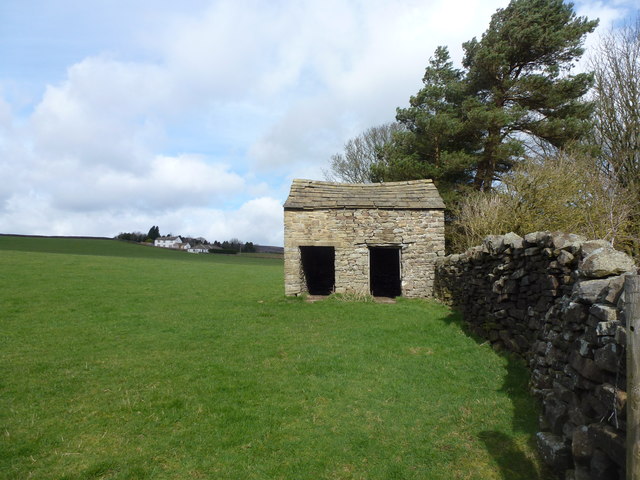
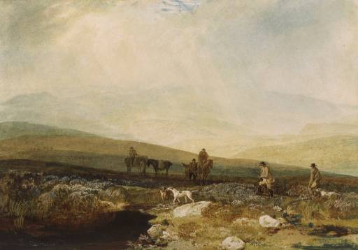
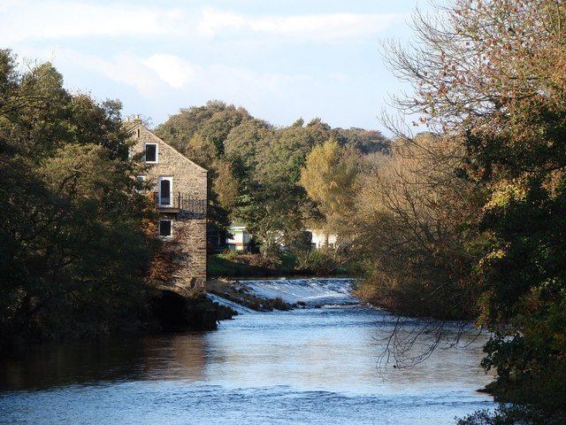
Bull Coppice Images

Images are sourced within 2km of 53.951331/-1.8717257 or Grid Reference SE0850. Thanks to Geograph Open Source API. All images are credited.

Road across Middleton Low Moor A section of the road between Langbar and Middleton where it runs across open moorland. Ling Park Plantation is seen in the distance.
Road across Middleton Low Moor
A section of the road between Langbar and Middleton where it runs across open moorland. Ling Park Plantation is seen in the distance.
Low Moor, Langbar Low Moor, close to where it gives way to improved land at about 250m above sea level in lower Wharfedale.
Low Moor, Langbar
Low Moor, close to where it gives way to improved land at about 250m above sea level in lower Wharfedale.
Footpath on Low Moor A rather muddy soggy excuse for a footpath follows the stunted wall on Low Moor, heading towards Chapel House
Footpath on Low Moor
A rather muddy soggy excuse for a footpath follows the stunted wall on Low Moor, heading towards Chapel House
Moor End Farm Farmhouse on the edge of Langbar Moor
Moor End Farm
Farmhouse on the edge of Langbar Moor
Track leading onto Langbar Moor Rough track leaving the lane beside Moor End Farm
Track leading onto Langbar Moor
Rough track leaving the lane beside Moor End Farm
Lane to Nesfield at Low Moor
Moor End Farm
Moor End Farm
Gully of a moorland stream coming from Delves Tarn On the east side of Hardings Lane, near Moor End Farm.
Gully of a moorland stream coming from Delves Tarn
On the east side of Hardings Lane, near Moor End Farm.
Moorland stream coming from Delves Tarn About to pass under Hardings Lane.
Moorland stream coming from Delves Tarn
About to pass under Hardings Lane.
Looking towards Blackhill House, Lingbar Looking north from a hillock by Moor End Farm.
Looking towards Blackhill House, Lingbar
Looking north from a hillock by Moor End Farm.
Moor End Farm, Langbar Farming at the edge of moorland, about 240 metres above sea level.
Moor End Farm, Langbar
Farming at the edge of moorland, about 240 metres above sea level.
Fencing in a land of drystone walls Field boundaries on the west side of Hardings Lane at Moor End, Langbar.
Fencing in a land of drystone walls
Field boundaries on the west side of Hardings Lane at Moor End, Langbar.
Unmapped path on Middleton Low Moor On the east side of Hardings Lane. A continuation of Nesfield Lane.
Unmapped path on Middleton Low Moor
On the east side of Hardings Lane. A continuation of Nesfield Lane.
Hardings Lane crossing Middleton Low Moor The nearby cattle grid is also on Hardings Lane.
Hardings Lane crossing Middleton Low Moor
The nearby cattle grid is also on Hardings Lane.
Farmland along Ellishaw Beck A mixture of rough grazing and walled pasture fields. West of Hardings Lane.
Farmland along Ellishaw Beck
A mixture of rough grazing and walled pasture fields. West of Hardings Lane.
Bijou shippon near the head of Dean Beck A small, but perfectly formed, example of typical field building architecture in Wharfedale
Bijou shippon near the head of Dean Beck
A small, but perfectly formed, example of typical field building architecture in Wharfedale
Beamsley Lane, bridge This is the eastern parapet of the Beamsley Bridge on Beamlsey Lane. Cut into the 2nd course of stone at the left side of the parapet is a benchmark.
Beamsley Lane, bridge
This is the eastern parapet of the Beamsley Bridge on Beamlsey Lane. Cut into the 2nd course of stone at the left side of the parapet is a benchmark.
Beamsley Lane, bridge A wider angle showing the full bridge. On the left is the eastern parapet of  Beamsley Bridge on Beamlsey Lane. Cut into the 2nd course of stone at the left side of the parapet is a benchmark.
Beamsley Lane, bridge
A wider angle showing the full bridge. On the left is the eastern parapet of Beamsley Bridge on Beamlsey Lane. Cut into the 2nd course of stone at the left side of the parapet is a benchmark.
Show me another place!

Bull Coppice is located at Grid Ref: SE0850 (Lat: 53.951331, Lng: -1.8717257)

Division: West Riding

Administrative County: North Yorkshire

District: Harrogate

Police Authority: North Yorkshire

What 3 Words

///create.drags.cleansed. Near Addingham, West Yorkshire

Related Wikis

St Peter's Church, Addingham

St Peter's Church is a Church of England parish church in Addingham, West Yorkshire. It is a Grade I listed building, with the main structure dating to...

Addingham railway station

Addingham railway station was on the Midland Railway route from Skipton to Ilkley. It served the village of Addingham in West Yorkshire, England. ��2...

Nesfield

Nesfield is a small village, 2 miles (3.2 km) north-west of Ilkley on the north bank of the River Wharfe, in the civil parish of Nesfield with Langbar...

Farfield Friends Meeting House

Farfield Friends Meeting House is a Quaker meeting house no longer regularly in use by a Quaker meeting and now owned by the Historic Chapels Trust. It...

Beamsley

Beamsley is a village and civil parish in the Craven district of North Yorkshire, England. It is just within the boundary of the Yorkshire Dales National...

Addingham

Addingham (formerly Haddincham c. 972, Odingehem 1086) is a village and civil parish in the City of Bradford in West Yorkshire, England. It is situated...

Beamsley Hospital

Beamsley Hospital is an Almshouse building at Beamsley, near Skipton in North Yorkshire, and founded in 1593 by the Lady Margaret Russell, the Countess...

Ilkley Golf Club

Ilkley Golf Club is a golf club in North Yorkshire, England, just outside the town of Ilkley in West Yorkshire. It is located about a mile to the northwest...

Nearby Amenities

Located within 500m of 53.951331,-1.8717257
Barrier: stile
Lat/Long: 53.95172/-1.877055
Barrier: stile
Lat/Long: 53.9528828/-1.8778267
Barrier: stile
Lat/Long: 53.9497405/-1.8767706
High Mill
Historic: industrial
Output: corn;worsted
Source: OS sheet 169,publ 1853
Source Output: OS sheet 169,publ 1853
Lat/Long: 53.9482358/-1.8749437
lime kiln
Archaeological Site: lime_kiln
Historic: archaeological_site
Output: lime
Source: OS sheet 169,publ 1853
Lat/Long: 53.949486/-1.8746862
Source: NLS-OS-NatGrid-110k-1940-60
Waterway: waterfall
Lat/Long: 53.9514174/-1.8655696
Cafe
Hamiltons Cafe Bistro
Addr City: Ilkley
Addr Postcode: LS29 0RD
Addr Street: High Mill Lane
Addr Suburb: Addingham
Fhrs Id: 1043178
Source: survey
Source Addr: FHRS Open Data
Website: https://hamiltonscafebistro.co.uk/
Lat/Long: 53.9481505/-1.8768401
The data included in this document is from www.openstreetmap.org. The data is made available under ODbL.

Have you been to Bull Coppice?

Leave your review of Bull Coppice below (or comments, questions and feedback).