Grovely Down

Wood, Forest in Wiltshire

England

Grovely Down

Butchers Brook,  Wilton Butchers Brook is one of the many channels of the River Wylye flowing behind homes in West Street.

Looking downstream.
Butchers Brook, Wilton Credit: Maigheach-gheal

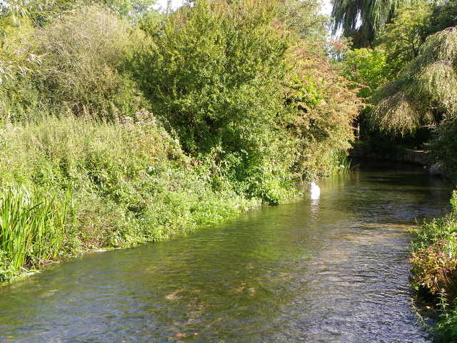
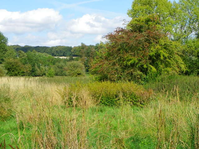
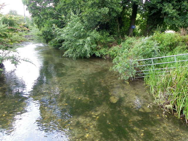
Grovely Down is a picturesque area located in Wiltshire, England. Spanning over 2,000 acres, it is renowned for its beautiful woodlands and lush forests. The down is situated just south of the village of Great Wishford, providing a tranquil and serene environment for visitors and locals alike.

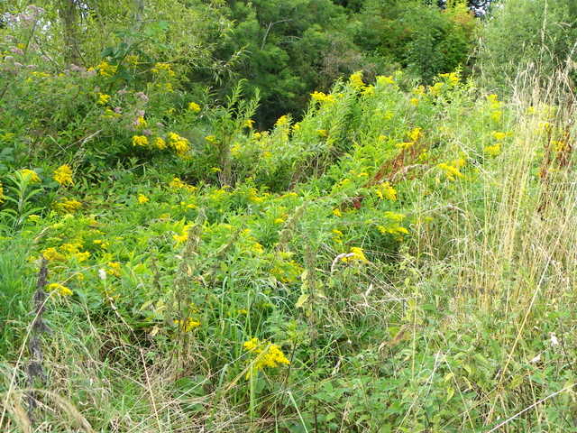
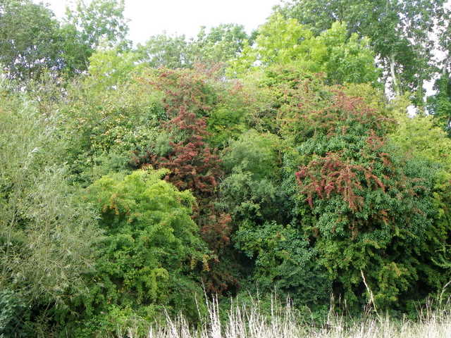
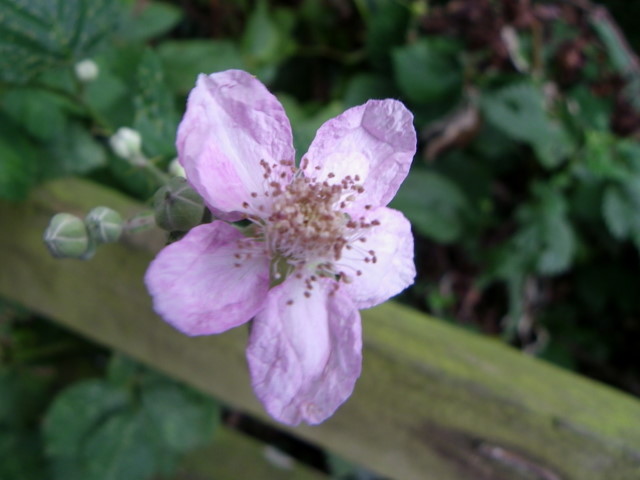
The woodlands of Grovely Down are predominantly composed of ancient beech trees, creating a stunning canopy that stretches as far as the eye can see. These majestic trees provide shelter and habitat for a diverse range of wildlife, including deer, badgers, and a variety of bird species.

The down is home to numerous walking trails, making it a popular destination for outdoor enthusiasts and nature lovers. These paths wind their way through the woodlands, offering breathtaking views of the surrounding countryside. In springtime, the forest floor is carpeted with vibrant bluebells, creating a magical and enchanting atmosphere.

The area has a rich history, with evidence of human habitation dating back thousands of years. There are ancient burial mounds and earthworks scattered throughout the down, providing a glimpse into the past. Grovely Down has also played a role in military history, as it was used as a training ground during both World Wars.

Overall, Grovely Down in Wiltshire is a captivating destination for those seeking tranquility and natural beauty. Its ancient woodlands, diverse wildlife, and rich history make it a must-visit location for nature enthusiasts and history buffs alike.

If you have any feedback on the listing, please let us know in the comments section below.
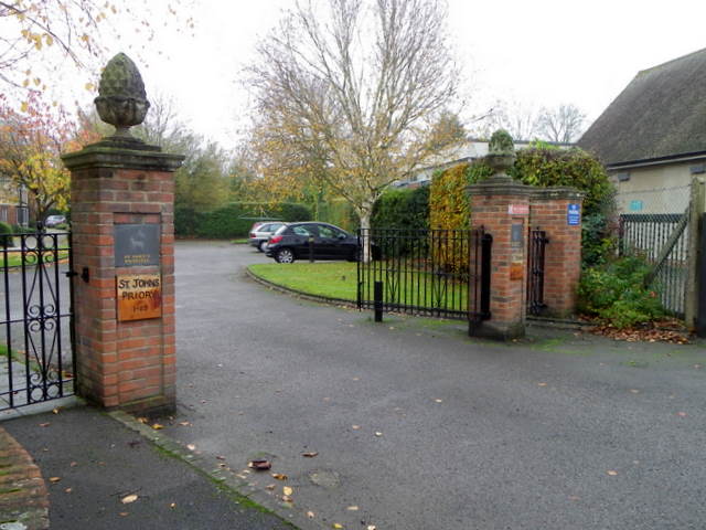
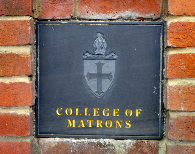
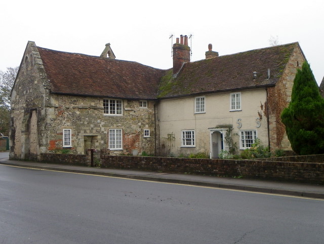
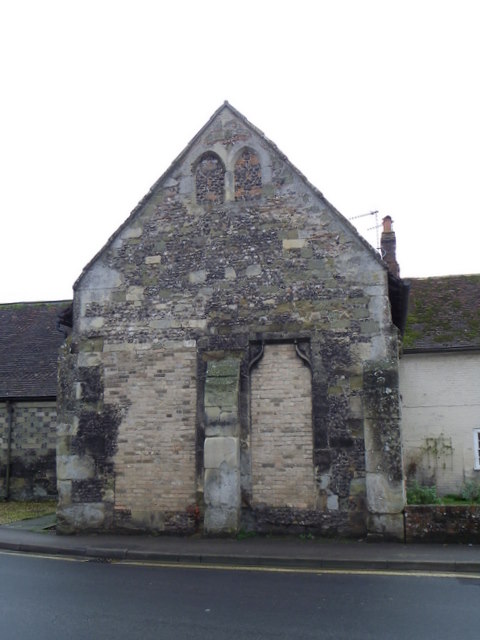
Grovely Down Images

Images are sourced within 2km of 51.097201/-1.8815203 or Grid Reference SU0833. Thanks to Geograph Open Source API. All images are credited.

Butchers Brook,  Wilton Butchers Brook is one of the many channels of the River Wylye flowing behind homes in West Street.

Looking downstream.
Butchers Brook, Wilton
Butchers Brook is one of the many channels of the River Wylye flowing behind homes in West Street. Looking downstream.
Flouse Hole, Wilton This area of water meadows between the A30 and A36 is known as Flouse Hole.  The land is managed by the Wilton Conservation Group on behalf of the Wilton Estate and Wilton Town Council.
Flouse Hole, Wilton
This area of water meadows between the A30 and A36 is known as Flouse Hole. The land is managed by the Wilton Conservation Group on behalf of the Wilton Estate and Wilton Town Council.
Elderberries, Flouse Hole The elder branches have become heavy with bunches of lustrous black juicy fruits. Insipid when raw, they make a distinctively flavoured wine and are also used in pies and jellies.
Elderberries, Flouse Hole
The elder branches have become heavy with bunches of lustrous black juicy fruits. Insipid when raw, they make a distinctively flavoured wine and are also used in pies and jellies.
Golden Rod (Solidago virgaurea), Flouse Hole As its generic name which comes from solidare (to consolidate or make whole) indicates, golden rod has a reputation for healing wounds when applied as a poultice or used as an infusion to bathe the wound.
Golden Rod (Solidago virgaurea), Flouse Hole
As its generic name which comes from solidare (to consolidate or make whole) indicates, golden rod has a reputation for healing wounds when applied as a poultice or used as an infusion to bathe the wound.
Hawthorn, Flouse Hole Hawthorn berries the blossom are made into wines and jellies.  Here the trees are growing beside the railway embankment.
Hawthorn, Flouse Hole
Hawthorn berries the blossom are made into wines and jellies. Here the trees are growing beside the railway embankment.
Kissing gate, Flouse Hole The kissing gate is a traditional gate hung in a U or V shape that allows one person to pass at a time. In order for one person to pass fully through the gate they have to close it on the next person. Legend has it that at this point, when the two are on either side of the gate, the person in front ‘refuses’ entry to the second person until presented with a kiss.
Kissing gate, Flouse Hole
The kissing gate is a traditional gate hung in a U or V shape that allows one person to pass at a time. In order for one person to pass fully through the gate they have to close it on the next person. Legend has it that at this point, when the two are on either side of the gate, the person in front ‘refuses’ entry to the second person until presented with a kiss.
Blackberry flower, Flouse Hole The flowers can be white to deep pink in colour and most forms of the flowers have a pleasant scent.  The flowers fade in late summer to produce fruits which are green at first, changing to red and being fully ripe when they turn deep purple to black.
Blackberry flower, Flouse Hole
The flowers can be white to deep pink in colour and most forms of the flowers have a pleasant scent. The flowers fade in late summer to produce fruits which are green at first, changing to red and being fully ripe when they turn deep purple to black.
Butchers Brook,  Wilton Butchers Brook is one of the many channels of the River Wylye flowing behind homes in West Street.

Looking upstream.
Butchers Brook, Wilton
Butchers Brook is one of the many channels of the River Wylye flowing behind homes in West Street. Looking upstream.
Thatched cottage, Shaftesbury Road The cottage stands beside the A30, Shaftesbury Road and it has a firemark over the middle window of the lower floor.
Thatched cottage, Shaftesbury Road
The cottage stands beside the A30, Shaftesbury Road and it has a firemark over the middle window of the lower floor.
Firemark, 50 Shaftesbury Road The firemark is attached to <a href="https://www.geograph.org.uk/photo/2658603">SU0931 : Thatched cottage, Shaftesbury Road</a>

Firemarks originated around the late 17th century at which time insurance companies operated their own fire brigades to protect insured property.  As many buildings did not have a formal address until the advent of the postal system, insurance companies identified insured properties by placing a mark on the outside wall of the buildings.
Firemark, 50 Shaftesbury Road
The firemark is attached to SU0931 : Thatched cottage, Shaftesbury Road Firemarks originated around the late 17th century at which time insurance companies operated their own fire brigades to protect insured property. As many buildings did not have a formal address until the advent of the postal system, insurance companies identified insured properties by placing a mark on the outside wall of the buildings.
St John's Priory, Wilton St John's is a complex of sheltered managed by the College of Matrons, Salisbury <a href="https://www.geograph.org.uk/photo/2451698">SU1429 : Matrons' College</a>  This range of flats were built in 1997 to house single ladies of the area. <span class="nowrap"><a title="http://www.housingcare.org/housing-care/facility-info-84290-st-johns-priory-wilton-england.aspx" rel="nofollow ugc noopener" href="http://www.housingcare.org/housing-care/facility-info-84290-st-johns-priory-wilton-england.aspx">Link</a><img style="margin-left:2px;" alt="External link" title="External link - shift click to open in new window" src="https://s1.geograph.org.uk/img/external.png" width="10" height="10"/></span>
St John's Priory, Wilton
St John's is a complex of sheltered managed by the College of Matrons, Salisbury SU1429 : Matrons' College This range of flats were built in 1997 to house single ladies of the area. LinkExternal link
Gateway, St John's Priory These gates give access to the almshouses shown in <a href="https://www.geograph.org.uk/photo/2709587">SU0931 : St John's Priory, Wilton</a>
Gateway, St John's Priory
These gates give access to the almshouses shown in SU0931 : St John's Priory, Wilton
Plaque, St John's Priory This plaque is on the right hand pillar of the gate seen in <a href="https://www.geograph.org.uk/photo/2709589">SU0931 : Gateway, St John's Priory</a>
Plaque, St John's Priory
This plaque is on the right hand pillar of the gate seen in SU0931 : Gateway, St John's Priory
Plaque, St John's Priory This plaque is on the left hand pillar of the gateway shown in <a href="https://www.geograph.org.uk/photo/2709589">SU0931 : Gateway, St John's Priory</a> and it shows the Lamb of God.

The Lamb of God - the sacrifice for sin, who alone is worthy to receive power, wealth, wisdom, honour and glory.
Plaque, St John's Priory
This plaque is on the left hand pillar of the gateway shown in SU0931 : Gateway, St John's Priory and it shows the Lamb of God. The Lamb of God - the sacrifice for sin, who alone is worthy to receive power, wealth, wisdom, honour and glory.
Plaque, St John's Priory This plaque is to be found in the gable end of <a href="https://www.geograph.org.uk/photo/2709587">SU0931 : St John's Priory, Wilton</a> and it depicts the Lamb of God.

The Lamb of God - the sacrifice for sin, who alone is worthy to receive power, wealth, wisdom, honour and glory.
Plaque, St John's Priory
This plaque is to be found in the gable end of SU0931 : St John's Priory, Wilton and it depicts the Lamb of God. The Lamb of God - the sacrifice for sin, who alone is worthy to receive power, wealth, wisdom, honour and glory.
Houses on Shaftesbury Road The older part of the building was once part of the Priory Church.
Houses on Shaftesbury Road
The older part of the building was once part of the Priory Church.
Gable end, St John's Priory This is the gable end of the building shown in <a href="https://www.geograph.org.uk/photo/2717069">SU0931 : Houses on Shaftesbury Road</a>
Gable end, St John's Priory
This is the gable end of the building shown in SU0931 : Houses on Shaftesbury Road
St John's Priory, Wilton St John's Priory church and the offices of the almshouses.  For a view of the gable end <a href="https://www.geograph.org.uk/photo/2719777">SU0931 : Gable end, St John's Priory</a>
St John's Priory, Wilton
St John's Priory church and the offices of the almshouses. For a view of the gable end SU0931 : Gable end, St John's Priory
Show me another place!

Grovely Down is located at Grid Ref: SU0833 (Lat: 51.097201, Lng: -1.8815203)

Unitary Authority: Wiltshire

Police Authority: Wiltshire

What 3 Words

///overheard.subsystem.shopping. Near Wilton, Wiltshire

Nearby Locations

Grovely Down Custom Bottom

Related Wikis

South Newton

South Newton is a village and civil parish about 4 miles (6.4 km) north-west of Salisbury in Wiltshire, England. Topologically it lies between chalk downs...

Wilton North railway station

Wilton North railway station is a former railway station serving Wilton, Wiltshire, England. The station was opened in 1856 by the Great Western Railway...

Wilton South railway station

Wilton South railway station is a disused railway station which served Wilton in Wiltshire, England, on the West of England line from London Waterloo to...

Battle of Wilton

The Battle of Wilton was a battle of the civil war in England known as The Anarchy. It was fought on 1 July 1143 at Wilton in Wiltshire. An army under...

Wilton, Wiltshire

Wilton is a town and civil parish in Wiltshire, England. Lying about 3 miles (5 km) west of the city of Salisbury, and until 1889 the county town of Wiltshire...

Old Town Hall, Wilton

The Old Town Hall is a municipal building in the Market Place in Wilton, Wiltshire, England. The structure, which is currently used as a Baptist church...

St Mary's Church, Wilton

St Mary's Church in the Market Place of Wilton, Wiltshire, England, was built in the 15th century. It is recorded in the National Heritage List for England...

Erskine Barracks

Erskine Barracks was a military installation at Fugglestone St Peter, in Wilton parish some 2+3⁄4 miles (4 km) northwest of Salisbury in Wiltshire, England...

Related Videos

Train Pass - Walking the Dog

A sunny Bank Holiday monday and out walking the dog. The path crosses the Cardiff to Salisbury line. Nothing particularly special ...

WALKS IN WILTSHIRE at GREAT WISHFORD (GROVELY WOOD & THE WITCHES' TREES) (4K)

In this episode of my series “Walks in Wiltshire, I take a 5 mile circular walk (with a detour) from Great Wishford to Grovely Wood.

Introduction to ILS Case Management from Sarah Ransome

ILS specialise in providing Case Management for children, young people and adults with catastrophic injury. When a person's life ...

RJ Free Daily Programme for Lockdown Part 25

More on anxiety and RJ : https://youtu.be/wEPJNPuJwv4 Breathing Techniques & RJ: https://youtu.be/KqhD4wAXDVg ...

Nearby Amenities

Located within 500m of 51.097201,-1.8815203
Power: pole
Lat/Long: 51.0950734/-1.8757707
Power: pole
Lat/Long: 51.0943928/-1.8860382
Power: pole
Lat/Long: 51.0944771/-1.8862474
Power: pole
Lat/Long: 51.0947771/-1.8780401
Power: pole
Lat/Long: 51.0949016/-1.8788821
Power: pole
Lat/Long: 51.094649/-1.8804112
Power: pole
Lat/Long: 51.0945006/-1.8830127
Power: pole
Lat/Long: 51.094696/-1.8824816
Power: pole
Lat/Long: 51.0945882/-1.8843967
Power: pole
Lat/Long: 51.0947904/-1.8806255
The data included in this document is from www.openstreetmap.org. The data is made available under ODbL.

Have you been to Grovely Down?

Leave your review of Grovely Down below (or comments, questions and feedback).