Blount's Bank Plantation
Wood, Forest in Staffordshire East Staffordshire
England
Blount's Bank Plantation
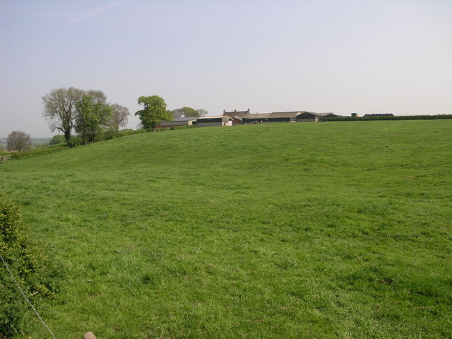
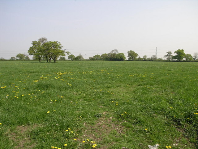
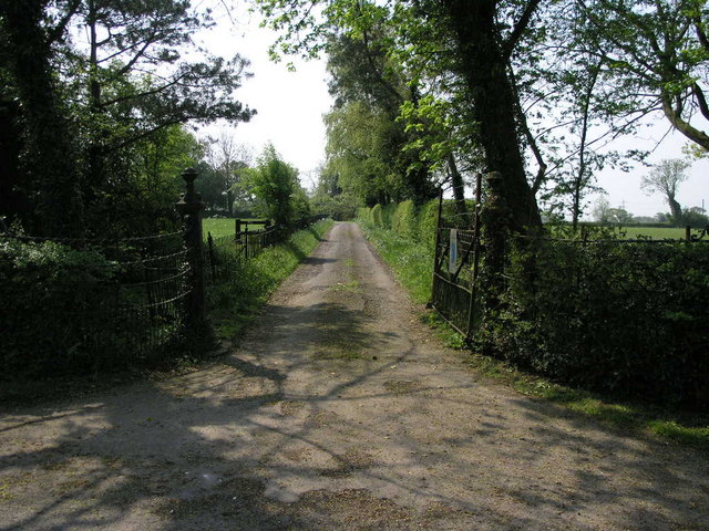
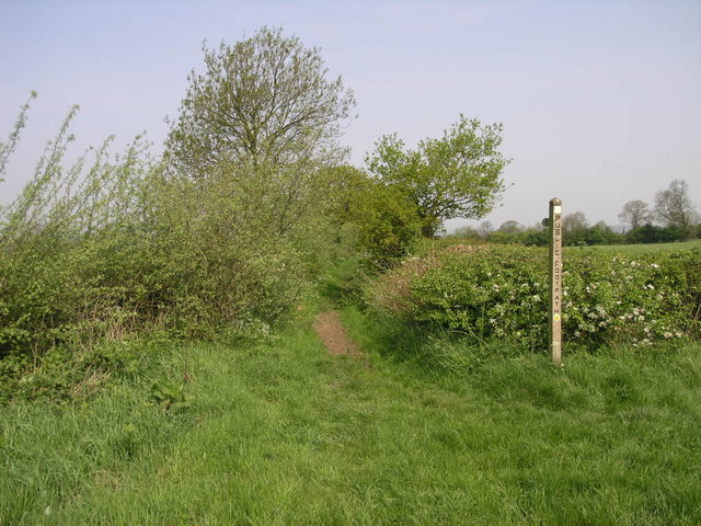
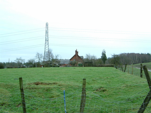
Blount's Bank Plantation is a historic woodland area located in Staffordshire, England. Situated near the village of Wood, this forested expanse covers approximately 200 acres of land. The plantation is known for its diverse flora and fauna, making it a popular destination for nature enthusiasts and hikers.
The woodland is predominantly composed of native tree species, including oak, birch, and beech. These towering trees provide a lush canopy that offers shade and shelter to a variety of wildlife. The forest floor is carpeted with a rich undergrowth of ferns, mosses, and wildflowers, creating a vibrant and picturesque environment.
Blount's Bank Plantation is not only renowned for its natural beauty but also for its historical significance. The plantation dates back several centuries and was once part of the Blount's Bank Estate. The estate was owned by the Blount family, who were prominent landowners in the area during the 17th and 18th centuries.
Visitors to the plantation can explore a network of well-maintained trails that wind through the woodland, offering breathtaking views of the surrounding countryside. These trails provide opportunities for leisurely walks, birdwatching, and photography. Additionally, the plantation is home to various species of birds, mammals, and insects, making it an ideal spot for wildlife observation.
Blount's Bank Plantation is a cherished natural and historical gem in Staffordshire, offering a tranquil and captivating experience for all who visit. With its abundant biodiversity and intriguing past, it continues to be a cherished destination for those seeking a connection with nature and a glimpse into the region's heritage.
If you have any feedback on the listing, please let us know in the comments section below.
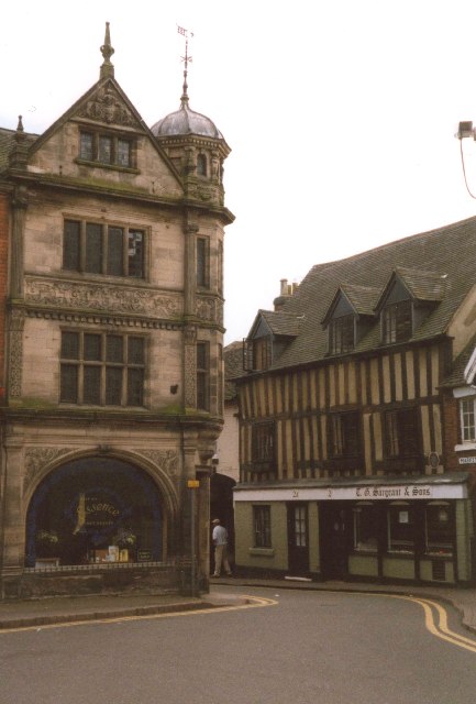
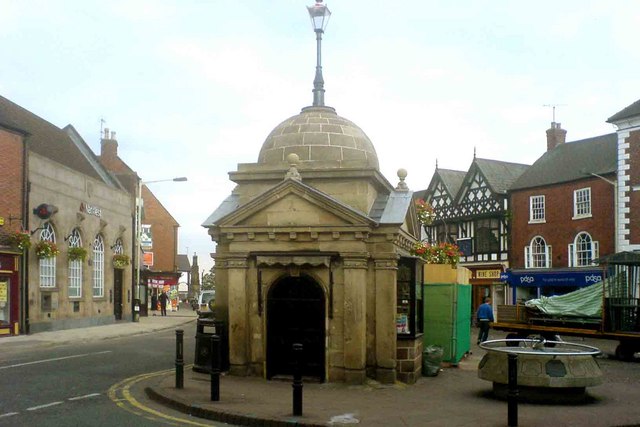
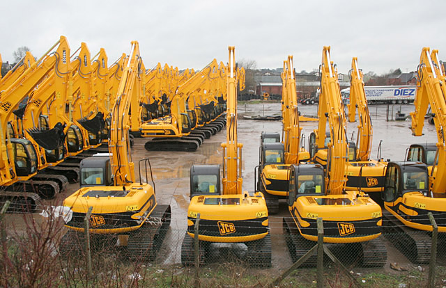
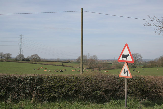
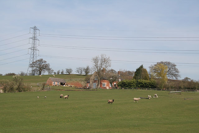
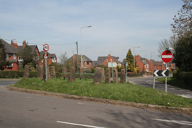
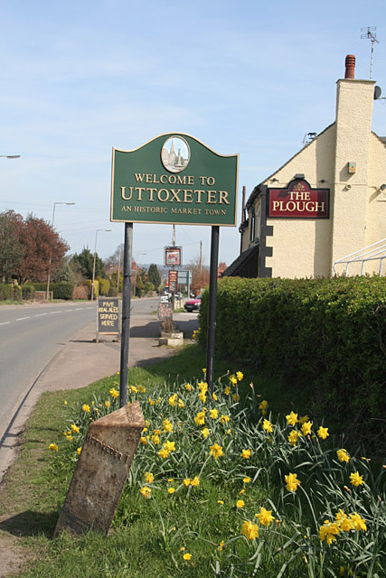
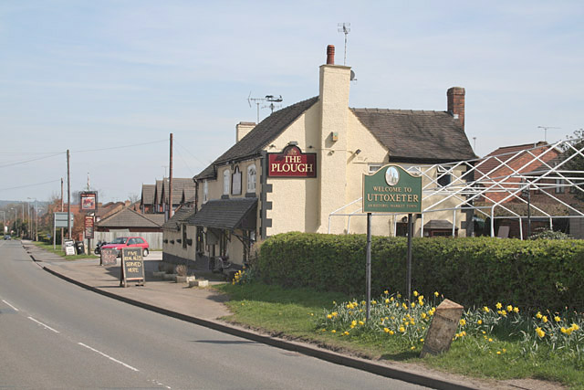
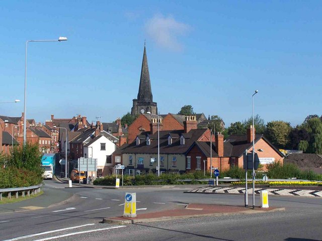
Blount's Bank Plantation Images
Images are sourced within 2km of 52.887567/-1.8829364 or Grid Reference SK0732. Thanks to Geograph Open Source API. All images are credited.


Blount's Bank Plantation is located at Grid Ref: SK0732 (Lat: 52.887567, Lng: -1.8829364)
Administrative County: Staffordshire
District: East Staffordshire
Police Authority: Staffordshire
What 3 Words
///gift.camcorder.tens. Near Uttoxeter, Staffordshire
Nearby Locations
Related Wikis

St Mary's Catholic Church, Uttoxeter
St Mary's Catholic Church is a Roman Catholic church in Uttoxeter, Staffordshire, United Kingdom. It opened in 1839; to avoid confusion with the other...
Uttoxeter Town F.C.
Uttoxeter Town F.C. is an English football club based in Uttoxeter, Staffordshire. They currently play in the North West Counties League Division One...

Oldfields Ground
Oldfields Ground is a cricket ground in Uttoxeter, Staffordshire. The first recorded match on the ground was in 1905, when Staffordshire played Bedfordshire...
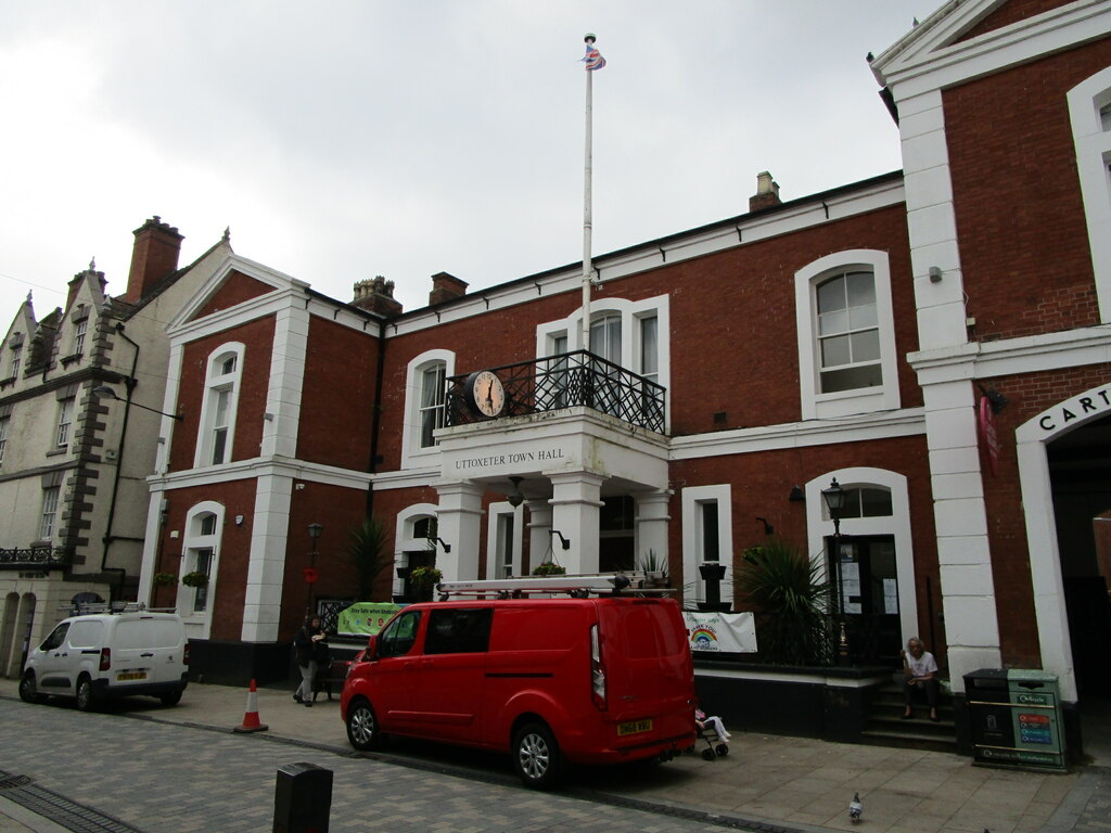
Uttoxeter Town Hall
Uttoxeter Town Hall is a municipal building in the High Street, Uttoxeter, Staffordshire, England. The structure, which serves as the meeting place of...
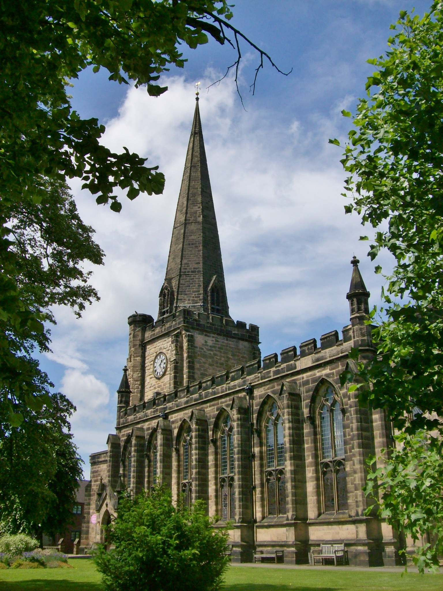
St Mary the Virgin Church, Uttoxeter
St Mary the Virgin's Church, Uttoxeter, commonly called simply St Mary's, is the parish church of the town of Uttoxeter, Staffordshire, England. Its tower...
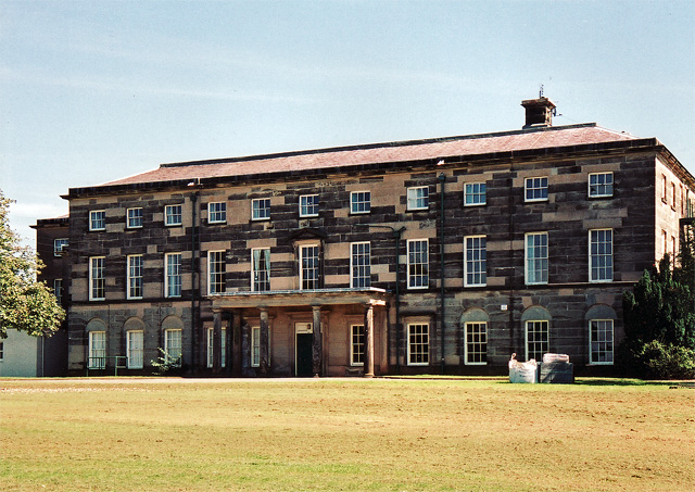
Loxley Hall
Loxley Hall is an early-19th-century country house near Uttoxeter, Staffordshire, now occupied by a Staffordshire County Council special school for boys...

Uttoxeter
Uttoxeter ( yoo-TOK-sit-ər, locally also UUTCH-it-ər) is a market town and civil parish in East Staffordshire, England, near to the Derbyshire county...
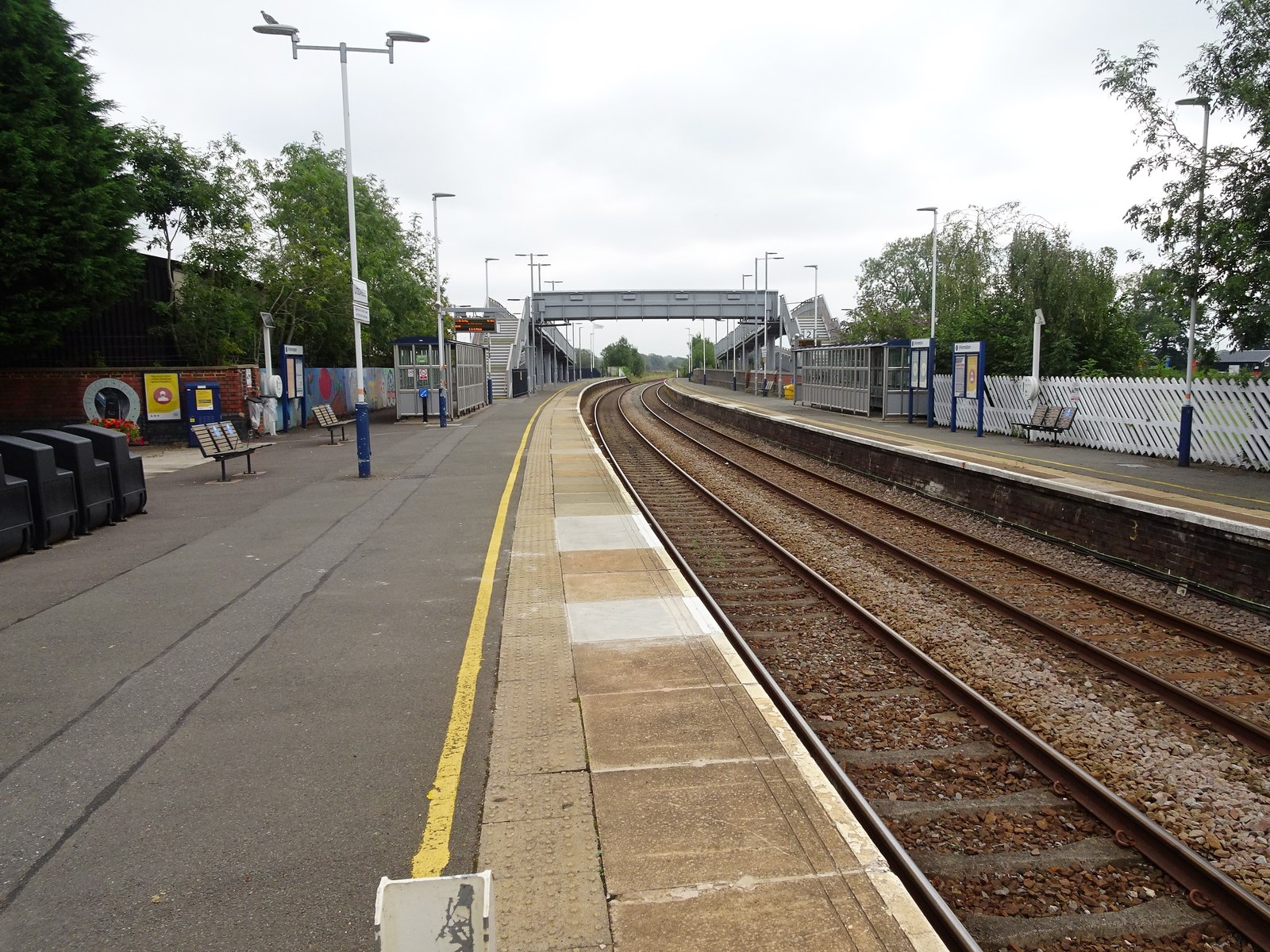
Uttoxeter railway station
Uttoxeter railway station () serves the town of Uttoxeter, Staffordshire, England. It is on the Crewe–Derby line, which is also a Community rail line known...
Nearby Amenities
Located within 500m of 52.887567,-1.8829364Have you been to Blount's Bank Plantation?
Leave your review of Blount's Bank Plantation below (or comments, questions and feedback).